Breech Wood

Wood, Forest in Somerset Mendip

England

Breech Wood

Cows crossing Launcherley Road From the rich meadows of Launcherley Hill to the milking parlour
Cows crossing Launcherley Road Credit: Nigel Freeman

Breech Wood, located in Somerset, England, is a picturesque woodland area known for its natural beauty and diverse ecosystem. Covering an area of approximately 200 acres, this enchanting forest is a popular destination for nature enthusiasts and outdoor adventurers.

Breech Wood is renowned for its rich and varied flora and fauna, providing a habitat for a wide range of plant and animal species. The woodland is predominantly composed of broad-leaved trees, including oak, beech, and ash, creating a stunning canopy of foliage that changes with the seasons. The forest floor is adorned with a carpet of wildflowers, such as bluebells and primroses, adding bursts of color to the landscape.

Visitors to Breech Wood can explore its numerous walking trails, which meander through the forest, offering breathtaking views and opportunities to observe wildlife. The wood is particularly known for its birdlife, with species like woodpeckers, owls, and various songbirds often spotted among the branches. Squirrels and deer are also commonly seen, providing a sense of tranquility and natural harmony.

Throughout the year, Breech Wood hosts a range of events and activities for visitors to enjoy. From guided nature walks to educational workshops, there are opportunities to learn about the woodland's history, conservation efforts, and the importance of preserving its delicate ecosystem.

Breech Wood is a true gem of Somerset, offering a peaceful and immersive experience in nature. Whether one seeks solace, exploration, or simply a connection with the natural world, this enchanting forest provides an idyllic setting for all to enjoy.

If you have any feedback on the listing, please let us know in the comments section below.
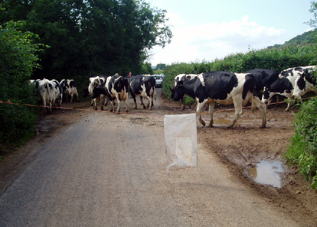
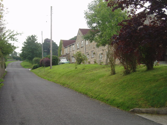
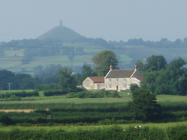
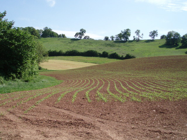
Breech Wood Images

Images are sourced within 2km of 51.189939/-2.6172545 or Grid Reference ST5643. Thanks to Geograph Open Source API. All images are credited.

Cows crossing Launcherley Road From the rich meadows of Launcherley Hill to the milking parlour
Cows crossing Launcherley Road
From the rich meadows of Launcherley Hill to the milking parlour
North Wootton - Crossroads Hotel Enlarged hotel big enough for weddings and larger functions in this small village.
North Wootton - Crossroads Hotel
Enlarged hotel big enough for weddings and larger functions in this small village.
Glastonbury Tor seen from North Wootton You can see the Tor rising from the flat meadows near Glastonbury from miles around.
Glastonbury Tor seen from North Wootton
You can see the Tor rising from the flat meadows near Glastonbury from miles around.
Type 29 Pillbox Sharcombe park WW2 Pill box near Dulcote, on "defence line green". This is on the edge of Dinder Wood, which is on a ridge facing south. Thank goodness it and many like it were never needed.
Type 29 Pillbox Sharcombe park
WW2 Pill box near Dulcote, on "defence line green". This is on the edge of Dinder Wood, which is on a ridge facing south. Thank goodness it and many like it were never needed.
Dulcote fountain Built 150 years go on a triangle of land where a toll house once stood, the fountain was created from the overflow of natural springs which have an average flow of 100,000 gallons a day.  The water is hard (calcium carbonate), and the fountain has increased in size over the years as minerals build up the rock surface.
Dulcote fountain
Built 150 years go on a triangle of land where a toll house once stood, the fountain was created from the overflow of natural springs which have an average flow of 100,000 gallons a day. The water is hard (calcium carbonate), and the fountain has increased in size over the years as minerals build up the rock surface.
Disused railway bridge, Dulcote. The brick railway bridge carried GWR trains on their way from Yatton, through Wells towards Shepton Mallet and beyond.
Disused railway bridge, Dulcote.
The brick railway bridge carried GWR trains on their way from Yatton, through Wells towards Shepton Mallet and beyond.
Dulcote Grotto This man-made grotto with spring water running through it was created about 150 years ago and is on the north wall of the Dulcote triangle near the fountain.
Dulcote Grotto
This man-made grotto with spring water running through it was created about 150 years ago and is on the north wall of the Dulcote triangle near the fountain.
Hillview Cottage This beautiful cottage lies on Old Street to the south of Croscombe.  It was once called Paradise cottage.  The lane leading off to the right of the photograph is Paradise lane and further to the right out of the picture is Paradise hill.
Hillview Cottage
This beautiful cottage lies on Old Street to the south of Croscombe. It was once called Paradise cottage. The lane leading off to the right of the photograph is Paradise lane and further to the right out of the picture is Paradise hill.
Paradise Hill Paradise hill is part of a ridge of carboniferous limestone running east-west to the south of Croscombe and Dulcote.  It reaches 435ft high, and there is a small disused limestone quarry on the top.
Paradise Hill
Paradise hill is part of a ridge of carboniferous limestone running east-west to the south of Croscombe and Dulcote. It reaches 435ft high, and there is a small disused limestone quarry on the top.
Disused railway line The overgrown track was once the route for the Great Western Railway - Wells and Witham branch.
Disused railway line
The overgrown track was once the route for the Great Western Railway - Wells and Witham branch.
Worminster Cross The cross (and war memorial) stands of a piece of higher ground near 
Cross Farm in the hamlet of Worminster.
Worminster Cross
The cross (and war memorial) stands of a piece of higher ground near Cross Farm in the hamlet of Worminster.
Vanishing footpath The hill in the background is deceptively steep, and eventually leads around to Worminster Down and Launcherly Hill.  The footpath is meant to go straight through the middle of the ploughed field - but there was no sign of it and we kept to the hedgerows.
Vanishing footpath
The hill in the background is deceptively steep, and eventually leads around to Worminster Down and Launcherly Hill. The footpath is meant to go straight through the middle of the ploughed field - but there was no sign of it and we kept to the hedgerows.
Worminster and Worminster Sleight A view looking north east from the flank of a hill over the hamlet of Worminster.  The higher land in the background on the right is Worminster Sleight, the peak of which is called Corrington and is 136m high.
Worminster and Worminster Sleight
A view looking north east from the flank of a hill over the hamlet of Worminster. The higher land in the background on the right is Worminster Sleight, the peak of which is called Corrington and is 136m high.
Dulcote Quarry A view of the south face of Dulcote quarry from Worminster sleight.  The rock type is carboniferous limestone.  Scarlet Withies Farm is in the foreground.
Dulcote Quarry
A view of the south face of Dulcote quarry from Worminster sleight. The rock type is carboniferous limestone. Scarlet Withies Farm is in the foreground.
Wells bypass The route of the Wells bypass was the subject of much heated debate.  This section leads out of Wells, bypasses the village of Dulcote and eventually rejoins the main Shepton Mallet road beyond. Park Wood lies to the left, and the hill in the background is the north side of Dulcote Hill.
Wells bypass
The route of the Wells bypass was the subject of much heated debate. This section leads out of Wells, bypasses the village of Dulcote and eventually rejoins the main Shepton Mallet road beyond. Park Wood lies to the left, and the hill in the background is the north side of Dulcote Hill.
Signs of life New crops beginning to grow in a field off Old Street to the south of Croscombe.
Signs of life
New crops beginning to grow in a field off Old Street to the south of Croscombe.
Corrington and trees 136m high, Corrington (and Worminster Sleight of which Corrington is the peak) is a limestone outlier, and a distinctive landmark for miles around.
Corrington and trees
136m high, Corrington (and Worminster Sleight of which Corrington is the peak) is a limestone outlier, and a distinctive landmark for miles around.
The church of St. Michael and all Angels, Dinder The church of St. Michael & all Angels is located just behind Dinder House. A Norman dragon head carving that is set above the south chapel window is all that survives a much earlier building. Initially a chapelry of Wells, the church of St. Michael became a prebend of Wells Cathedral in 1268 and subsequently a peculiar of the Dean of Wells.
The church of St. Michael and all Angels, Dinder
The church of St. Michael & all Angels is located just behind Dinder House. A Norman dragon head carving that is set above the south chapel window is all that survives a much earlier building. Initially a chapelry of Wells, the church of St. Michael became a prebend of Wells Cathedral in 1268 and subsequently a peculiar of the Dean of Wells.
Show me another place!

Breech Wood is located at Grid Ref: ST5643 (Lat: 51.189939, Lng: -2.6172545)

Administrative County: Somerset

District: Mendip

Police Authority: Avon and Somerset

What 3 Words

///watchdogs.pounds.qualifier. Near Wells, Somerset

Related Wikis

Dulcote Quarry

Dulcote Quarry is a disused limestone quarry at Dulcote, near Wells on the Mendip Hills, Somerset, England. The quarry measures around 600 metres (2,000...

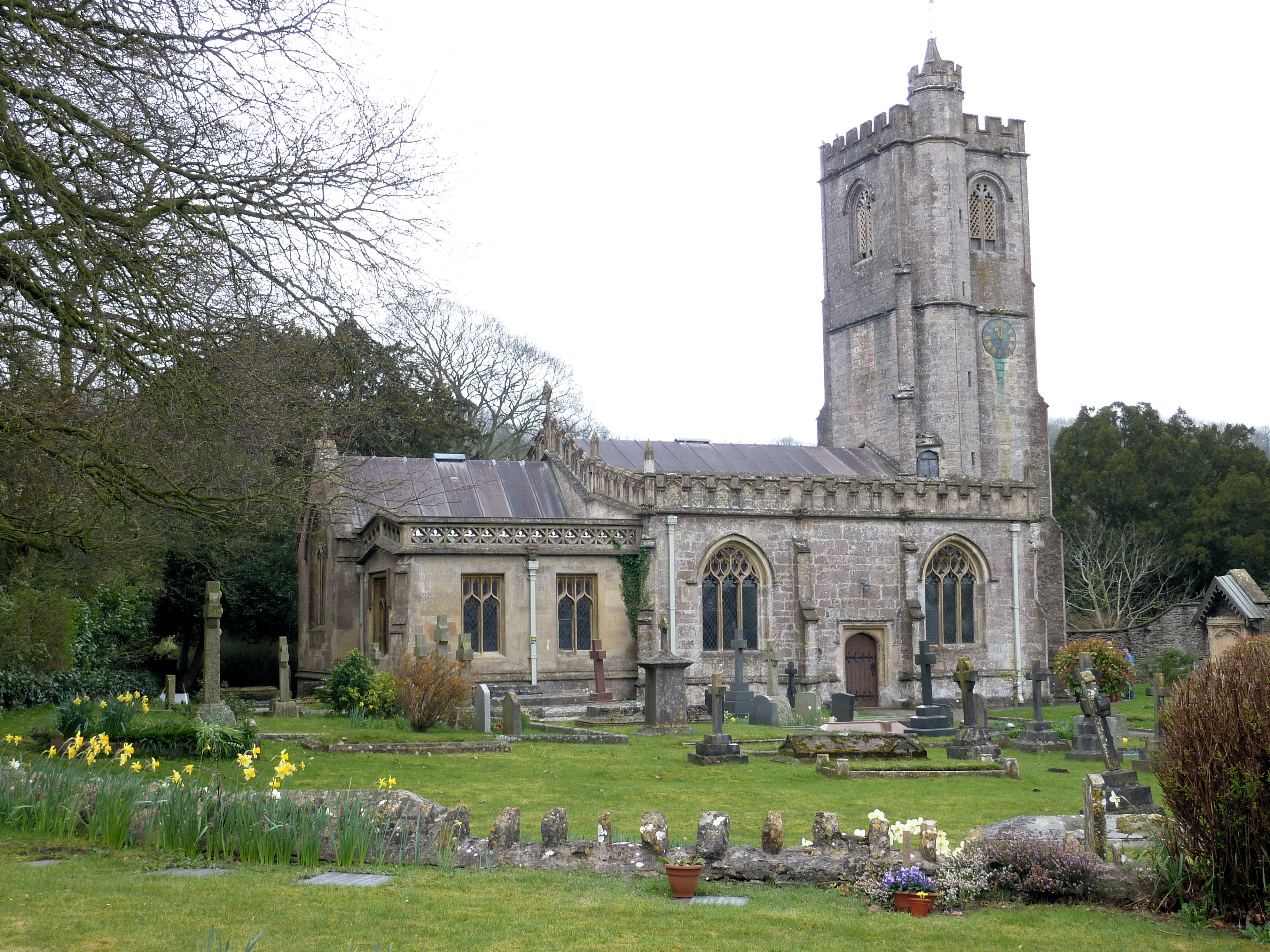
Church of St Michael, Dinder

The Anglican Church of St Michael in Dinder, Somerset, England has Norman origins and was built in the 14th century before being rebuilt in the 15th. It...

Dinder House

Dinder House, is a Somerset estate with a small country house Grade II Regency listed building in the village of Dinder, in the civil parish of St Cuthbert...

Twinhills Woods and Meadows

Twinhills Woods and Meadows (grid reference ST558432) is a 21.2 hectare (52.4 acre) biological Site of Special Scientific Interest on the Monarch's Way...

Nearby Amenities

Located within 500m of 51.189939,-2.6172545
Recycling
Hill Quarry Recycling
Recycling Batteries: yes
Recycling Cans: yes
Recycling Cardboard: yes
Recycling Electrical Appliances: yes
Recycling Glass: yes
Recycling Glass Bottles: yes
Recycling Green Waste: yes
Recycling Magazines: yes
Recycling Newspaper: yes
Recycling Paper: yes
Recycling Paper Packaging: yes
Recycling Plastic: yes
Recycling Plastic Bottles: yes
Recycling Small Appliances: yes
Recycling Waste: yes
Recycling Type: centre
Lat/Long: 51.1933905/-2.6163125
Power: pole
Lat/Long: 51.1911024/-2.6236142
Power: pole
Lat/Long: 51.1906917/-2.6223802
Power: pole
Lat/Long: 51.1902643/-2.6210773
Power: pole
Lat/Long: 51.1898213/-2.6197344
Power: pole
Lat/Long: 51.1893835/-2.6184203
Power: pole
Lat/Long: 51.1892867/-2.6181128
Power: pole
Lat/Long: 51.1891009/-2.617277
Power: pole
Lat/Long: 51.1893783/-2.6162442
Power: pole
Lat/Long: 51.1896716/-2.6151381
Power: pole
Lat/Long: 51.190038/-2.6137894
Power: pole
Lat/Long: 51.1903014/-2.6128228
Power: pole
Lat/Long: 51.1907121/-2.6112888
The data included in this document is from www.openstreetmap.org. The data is made available under ODbL.

Have you been to Breech Wood?

Leave your review of Breech Wood below (or comments, questions and feedback).