Black Banks Wood

Wood, Forest in Lancashire Chorley

England

Black Banks Wood

Armlee Nurseries Large glasshouses at the nurseries
Armlee Nurseries Credit: Eirian Evans

Black Banks Wood is a pristine woodland located in the county of Lancashire, England. Situated near the village of Withnell in the borough of Chorley, this stunning natural site covers an area of approximately 100 hectares. The woodland is nestled on the slopes of the Pennine Hills, providing visitors with breathtaking views of the surrounding landscape.

This ancient forest boasts an impressive variety of tree species, including oak, birch, beech, and hawthorn. The dense canopy of foliage provides a habitat for a diverse range of wildlife, making it a popular destination for nature enthusiasts and birdwatchers. Some of the bird species that can be spotted here include woodpeckers, owls, and various songbirds.

The woodland features a well-maintained network of footpaths and trails, allowing visitors to explore its beauty at their own pace. These paths wind through the forest, leading visitors to discover hidden clearings, babbling brooks, and peaceful glades. In spring, the woodland floor is carpeted with a vibrant array of wildflowers, creating a picturesque scene.

Black Banks Wood is also known for its historical significance. It is believed to have been used for charcoal production during the medieval period, and remnants of charcoal platforms can still be found within the woodland. These platforms serve as a reminder of the area's rich cultural heritage.

Overall, Black Banks Wood is a tranquil and enchanting destination, offering visitors the opportunity to immerse themselves in the beauty of nature while experiencing the history and wildlife that make this woodland truly unique.

If you have any feedback on the listing, please let us know in the comments section below.

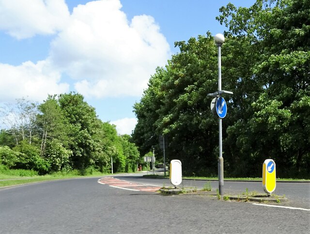
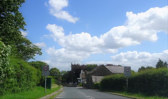
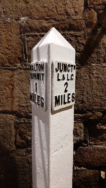
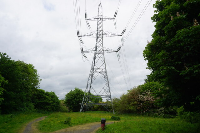
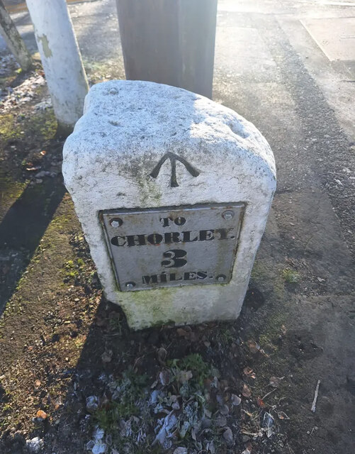
Black Banks Wood Images

Images are sourced within 2km of 53.705657/-2.6550192 or Grid Reference SD5623. Thanks to Geograph Open Source API. All images are credited.

Armlee Nurseries Large glasshouses at the nurseries
Armlee Nurseries
Large glasshouses at the nurseries
Clayton Brook Road At its junction with Preston Road (A6).
Clayton Brook Road
At its junction with Preston Road (A6).
Approaching Brindle The church is St. James' and the pub to the right of the church tower is The Cavendish Arms.
Approaching Brindle
The church is St. James' and the pub to the right of the church tower is The Cavendish Arms.
Canal Milestone, Lord Nelson Pub, Clayton-le-Woods Originally located on the Lancaster Canal (South End) probably about 320m to the East of the pub at what was then Radburn Bridge. Now between Westwood Road and the M61.

Inscription: Walton / Summit / 1 / Miles // Junctᴺ / L & L C / 2 / Miles

Milestone National ID: tbc
Canal Milestone, Lord Nelson Pub, Clayton-le-Woods
Originally located on the Lancaster Canal (South End) probably about 320m to the East of the pub at what was then Radburn Bridge. Now between Westwood Road and the M61. Inscription: Walton / Summit / 1 / Miles // Junctᴺ / L & L C / 2 / Miles Milestone National ID: tbc
Turf zone "ValleyLake" Lake at Cuerden Valley Park, Bamber Bridge.
Turf zone "ValleyLake"
Lake at Cuerden Valley Park, Bamber Bridge.
Turf zone "ValleyPower" Pylon in Cuerden Valley Park, Bamber Bridge.
Turf zone "ValleyPower"
Pylon in Cuerden Valley Park, Bamber Bridge.
Asda, Clayton Green
Asda, Clayton Green
Asda, Clayton Green
Asda, Clayton Green
Old Milestone, A6, Preston Road, Junction with Swansey Lane The milestone is located on the East side of the road by Swansey Car Sales, in the pavement by car sales parking area. Parish of Whittle Le Woods (Chorley District). Metal plate attached to stone post, Preston wedge design. Erected by the Wigan & Preston (North of Yarrow) turnpike trust in the 19th century. 

Inscription reads:-
: TO / CHORLEY / 3 / MILES : : TO / PRESTON / 6 / MILES :
Carved benchmark and pivot top left.

Milestone Society National ID: LA_CYPS03
Old Milestone, A6, Preston Road, Junction with Swansey Lane
The milestone is located on the East side of the road by Swansey Car Sales, in the pavement by car sales parking area. Parish of Whittle Le Woods (Chorley District). Metal plate attached to stone post, Preston wedge design. Erected by the Wigan & Preston (North of Yarrow) turnpike trust in the 19th century. Inscription reads:- : TO / CHORLEY / 3 / MILES : : TO / PRESTON / 6 / MILES : Carved benchmark and pivot top left. Milestone Society National ID: LA_CYPS03
Redundant bus stops You would be waiting a while to catch a bus here! The bus route was modified several years ago and no longer serves this part of the industrial estate.
Redundant bus stops
You would be waiting a while to catch a bus here! The bus route was modified several years ago and no longer serves this part of the industrial estate.
South Ribble : The M6 Motorway Heading north on the M6 Motorway as it heads through Lancashire.
South Ribble : The M6 Motorway
Heading north on the M6 Motorway as it heads through Lancashire.
South Ribble : The M6 Motorway Heading northwards through the M6 Motorway.
South Ribble : The M6 Motorway
Heading northwards through the M6 Motorway.
South Ribble : The M6 Motorway Heading north on the M6 Motorway.
South Ribble : The M6 Motorway
Heading north on the M6 Motorway.
South Ribble : The M6 Motorway Heading though junction 29 of the M6 Motorway.
South Ribble : The M6 Motorway
Heading though junction 29 of the M6 Motorway.
South Ribble : The M6 Motorway Heading underneath junction 29 of the M6 Motorway.
South Ribble : The M6 Motorway
Heading underneath junction 29 of the M6 Motorway.
The A6 crosses the M6
Old toll house on the A6 The road was a turnpike road, and this example of a toll house survives.
Old toll house on the A6
The road was a turnpike road, and this example of a toll house survives.
Cottages on the A6 Near Clayton Green.
Cottages on the A6
Near Clayton Green.
Show me another place!

Black Banks Wood is located at Grid Ref: SD5623 (Lat: 53.705657, Lng: -2.6550192)

Administrative County: Lancashire

District: Chorley

Police Authority: Lancashire

What 3 Words

///gains.goose.rooks. Near Clayton-le-Woods, Lancashire

Related Wikis

Cuerden

Cuerden is a village and civil parish of the Borough of Chorley, in Lancashire, England. It is situated between Bamber Bridge and Leyland, and had a population...

Cuerden Hall

Cuerden Hall is a country mansion in the village of Cuerden near Preston, Lancashire, England. It is a Grade II* listed building. The Hall was formerly...

Central Lancashire

Central Lancashire is an area of Lancashire, England. == Central Lancashire New Town == Central Lancashire New Town was the largest of the post-war English...

Clayton-le-Woods

Clayton-le-Woods (Commonly shortened to Clayton) is a large village and civil parish of the Borough of Chorley, in Lancashire, England. According to the...

Nearby Amenities

Located within 500m of 53.705657,-2.6550192
Turning Circle
Lat/Long: 53.7038046/-2.6492685
Bench
Source: GPS
Lat/Long: 53.7078183/-2.6561481
Bench
Backrest: yes
Material: wood
Source: GPS
Lat/Long: 53.7082996/-2.6558836
Bench
Backrest: yes
Lat/Long: 53.7077006/-2.6614814
Bench
Backrest: yes
Material: wood
Lat/Long: 53.7077597/-2.6562881
Waste Basket
Waste: dog_excrement
Lat/Long: 53.7089069/-2.6597611
Bench
Backrest: yes
Lat/Long: 53.7067204/-2.6569319
Barrier: stile
Foot: yes
Lat/Long: 53.7069701/-2.6538955
Turning Circle
Lat/Long: 53.7047522/-2.660569
Ford: yes
Lat/Long: 53.7041465/-2.6570712
Direction: SE
Generator Method: photovoltaic
Generator Output Electricity: yes
Generator Solar Modules: 16
Generator Source: solar
Generator Type: solar_photovoltaic_panel
Location: roof
Power: generator
Lat/Long: 53.7044021/-2.649065
Cafe
Cuerdon View Cafe
Wheelchair: yes
Lat/Long: 53.7083007/-2.6596785
The data included in this document is from www.openstreetmap.org. The data is made available under ODbL.

Have you been to Black Banks Wood?

Leave your review of Black Banks Wood below (or comments, questions and feedback).