Watergates Coppice
Wood, Forest in Dorset
England
Watergates Coppice
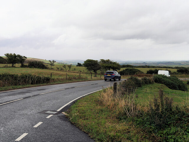
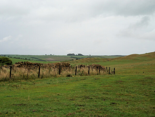
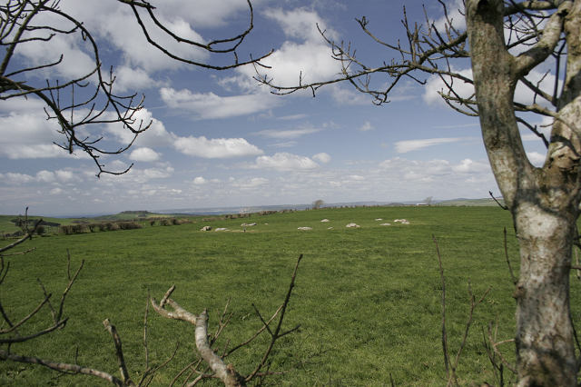
Watergates Coppice is a picturesque woodland located in the county of Dorset, England. Situated near the village of Watergates, it covers an area of approximately 50 acres, making it a relatively small but charming forest.
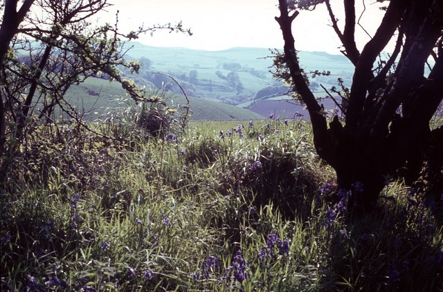
The coppice is predominantly composed of native broadleaf trees, including oak, beech, ash, and birch. These trees create a dense canopy, providing ample shade and shelter for a variety of flora and fauna. Bluebells, foxgloves, and primroses carpet the forest floor during the spring months, adding vibrant pops of color to the landscape.
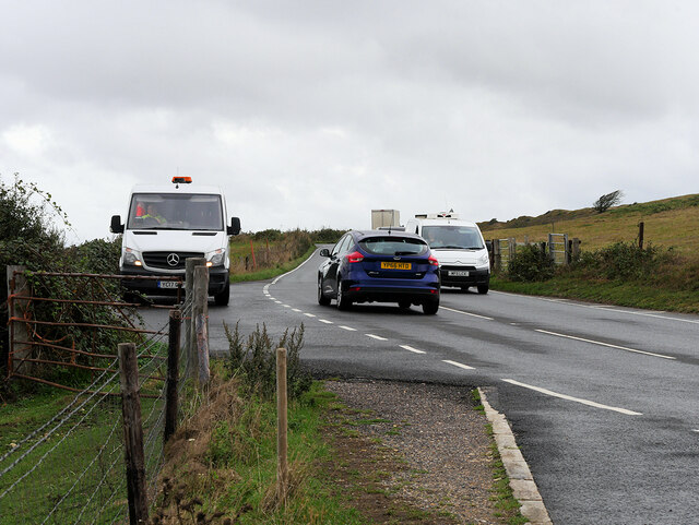
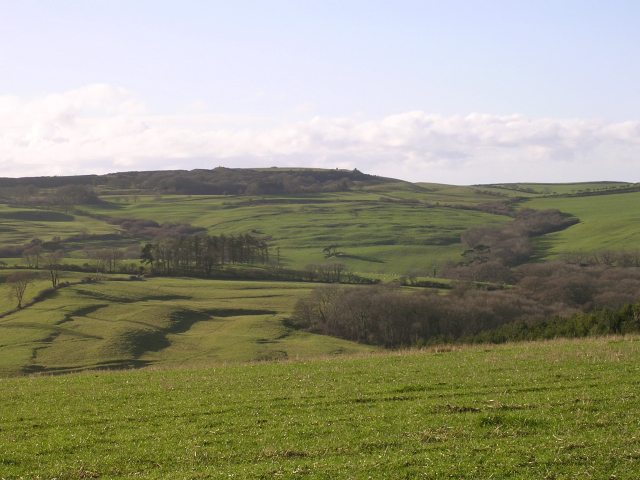
Tranquil walking trails meander through the coppice, allowing visitors to explore its natural beauty at their own pace. These pathways are well-maintained and easily accessible, making it an ideal location for both leisurely strolls and more adventurous hikes. Birdwatchers will be delighted to spot a diverse range of avian species, including woodpeckers, nuthatches, and tawny owls.
Watergates Coppice is also home to a variety of wildlife, including rabbits, squirrels, and deer. Nature enthusiasts may be lucky enough to catch a glimpse of these creatures as they go about their daily routines. The forest's peaceful atmosphere and abundant wildlife make it a popular spot for nature lovers and photographers alike.
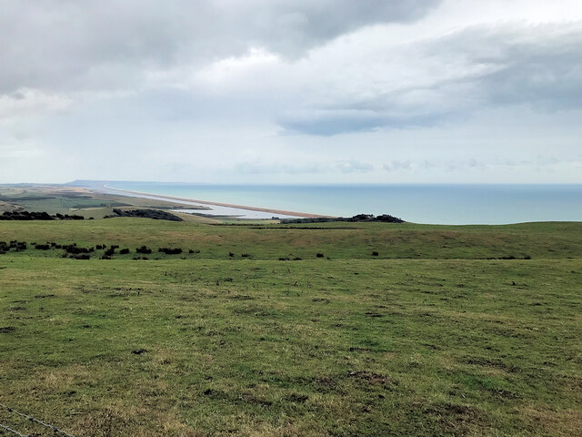
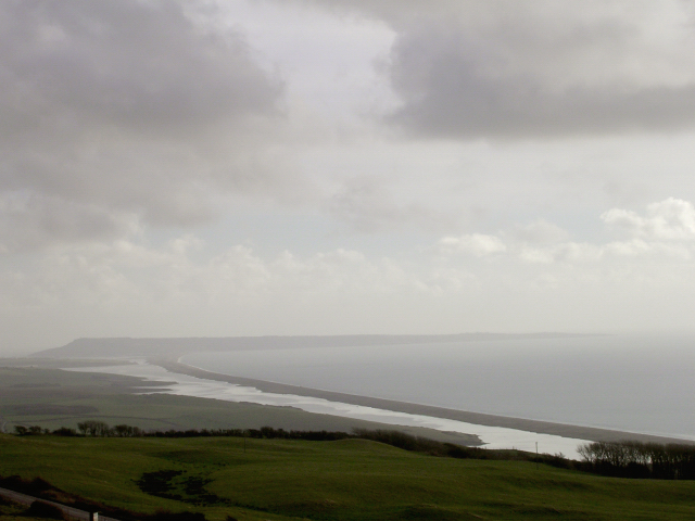
Overall, Watergates Coppice offers a tranquil and immersive experience in the heart of Dorset's countryside. Whether you're seeking a relaxing walk, a chance to reconnect with nature, or an opportunity to capture stunning photographs, this charming woodland has something to offer for everyone.
If you have any feedback on the listing, please let us know in the comments section below.
Watergates Coppice Images
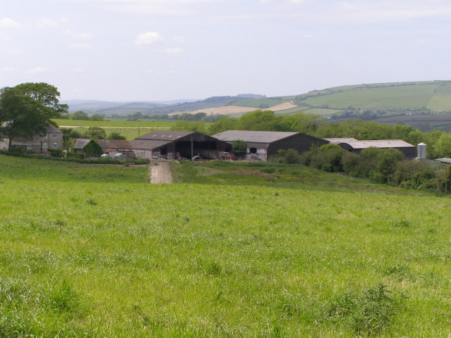
Images are sourced within 2km of 50.685649/-2.6160468 or Grid Reference SY5687. Thanks to Geograph Open Source API. All images are credited.

Watergates Coppice is located at Grid Ref: SY5687 (Lat: 50.685649, Lng: -2.6160468)
Unitary Authority: Dorset
Police Authority: Dorset
What 3 Words
///dodges.collapsed.flash. Near Chickerell, Dorset
Related Wikis

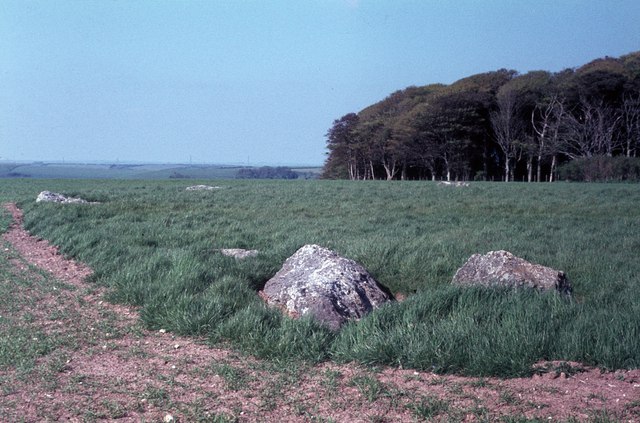
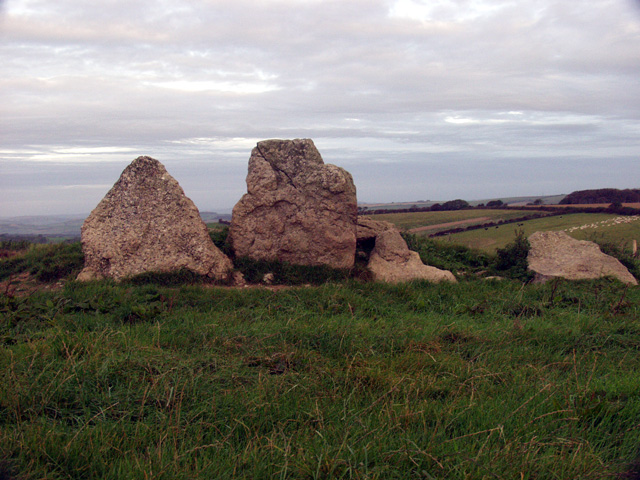
Kingston Russell Stone Circle
Kingston Russell Stone Circle, also known as the Gorwell Circle, is a stone circle located between the villages of Abbotsbury and Littlebredy in the south...

Abbotsbury Castle
Abbotsbury Castle is an Iron Age hillfort in south west Dorset, England, situated on Wears Hill above the village of Abbotsbury, seven miles west of Dorchester...
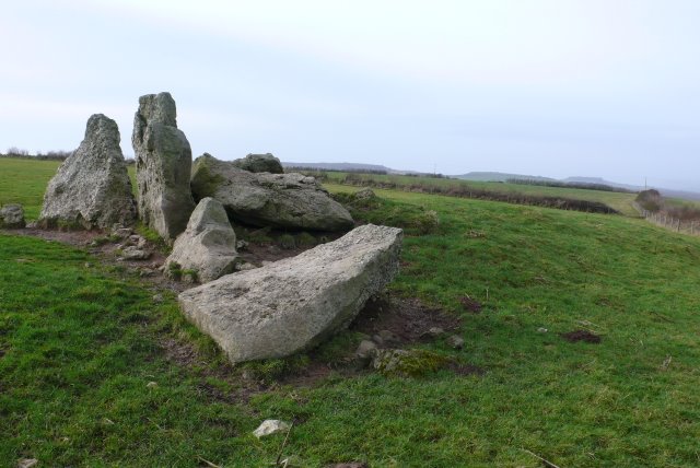
The Grey Mare and her Colts
The Grey Mare and her Colts is a megalithic chambered long barrow located near Abbotsbury in Dorset, England. It was built during the Early and Middle...

Kingston Russell House
Kingston Russell House is a large mansion house and manor near Long Bredy in Dorset, England, west of Dorchester. The present house dates from the late...
Nearby Amenities
Located within 500m of 50.685649,-2.6160468Have you been to Watergates Coppice?
Leave your review of Watergates Coppice below (or comments, questions and feedback).