Cave Wood

Wood, Forest in Cumberland Eden

England

Cave Wood

Direction Sign – Signpost near Little Salkeld Located on the south side of a crossroads northeast of Little Salkeld. Hunsonby parish. 4 arms, 1 missing, and pawn finial. An arm indicating GLASSONBY 1½ / GAMBLESBY 3 has been lost some time after March 2022. See also <span class="nowrap"><a title="http://www.geog.port.ac.uk/webmap/thelakes/photos/bwx16.jpg" rel="nofollow ugc noopener" href="http://www.geog.port.ac.uk/webmap/thelakes/photos/bwx16.jpg">Link</a><img style="margin-left:2px;" alt="External link" title="External link - shift click to open in new window" src="https://s1.geograph.org.uk/img/external.png" width="10" height="10"/></span> , <a title="https://www.geograph.org.uk/photo/3371423" href="https://www.geograph.org.uk/photo/3371423">Link</a> , <a title="https://www.geograph.org.uk/photo/6827992" href="https://www.geograph.org.uk/photo/6827992">Link</a> and <a title="https://www.geograph.org.uk/photo/7120324" href="https://www.geograph.org.uk/photo/7120324">Link</a>.

Milestone Society National ID: CU_NY5736
Direction Sign – Signpost near Little Salkeld Credit: J Salter

Cave Wood, located in Cumberland, is a picturesque forest that covers an area of approximately 500 acres. Nestled in the heart of the countryside, it is renowned for its natural beauty, diverse wildlife, and ancient caves that give the wood its name.

The wood is predominantly made up of mature oak trees, interspersed with pockets of beech, ash, and birch, creating a rich tapestry of colors throughout the seasons. The dense canopy provides a haven for a wide variety of bird species, including woodpeckers, owls, and thrushes, making it a popular destination for birdwatchers.

Cave Wood is also home to an abundance of wildlife. Deer, foxes, and squirrels roam freely throughout the forest, while badgers and hedgehogs make their homes in the undergrowth. The wood is a designated nature reserve, ensuring the preservation of its diverse ecosystem.

One of the main attractions of Cave Wood is its extensive network of ancient caves. These limestone caves, formed over thousands of years, offer a glimpse into the area's geological history. Some of the caves are open for exploration, although caution is advised due to their uneven terrain and low ceilings.

The wood is a popular destination for outdoor enthusiasts, offering a range of activities such as hiking, cycling, and horseback riding. Several well-marked trails crisscross the forest, providing visitors with the opportunity to immerse themselves in the tranquil beauty of Cave Wood.

Overall, Cave Wood in Cumberland is a stunning natural treasure, teeming with wildlife and steeped in history. Its ancient caves, diverse flora and fauna, and scenic trails make it a must-visit destination for nature lovers and adventurers alike.

If you have any feedback on the listing, please let us know in the comments section below.
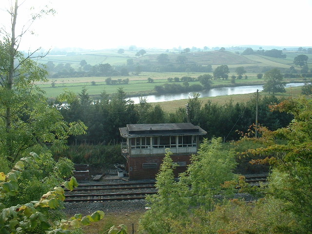
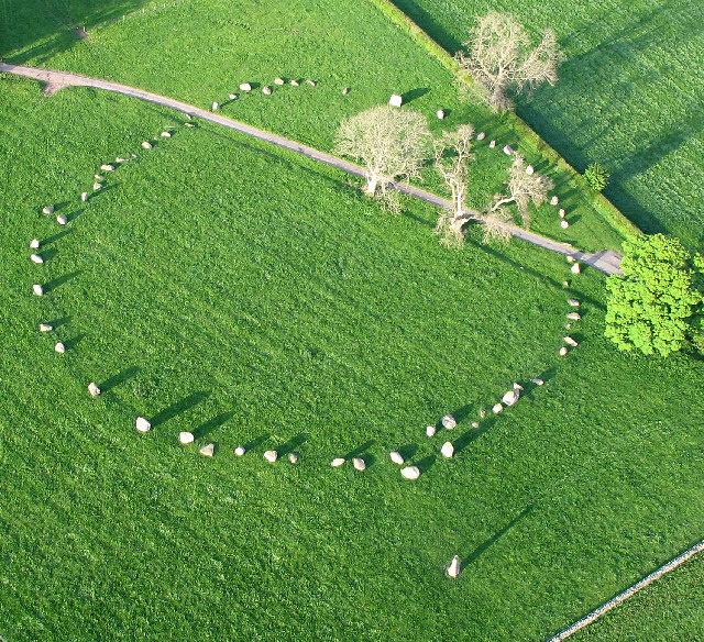
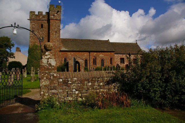
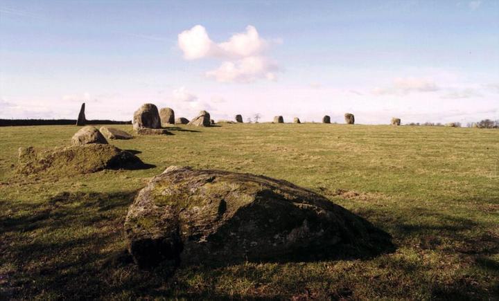
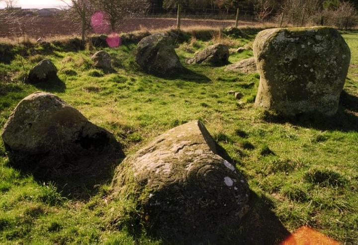
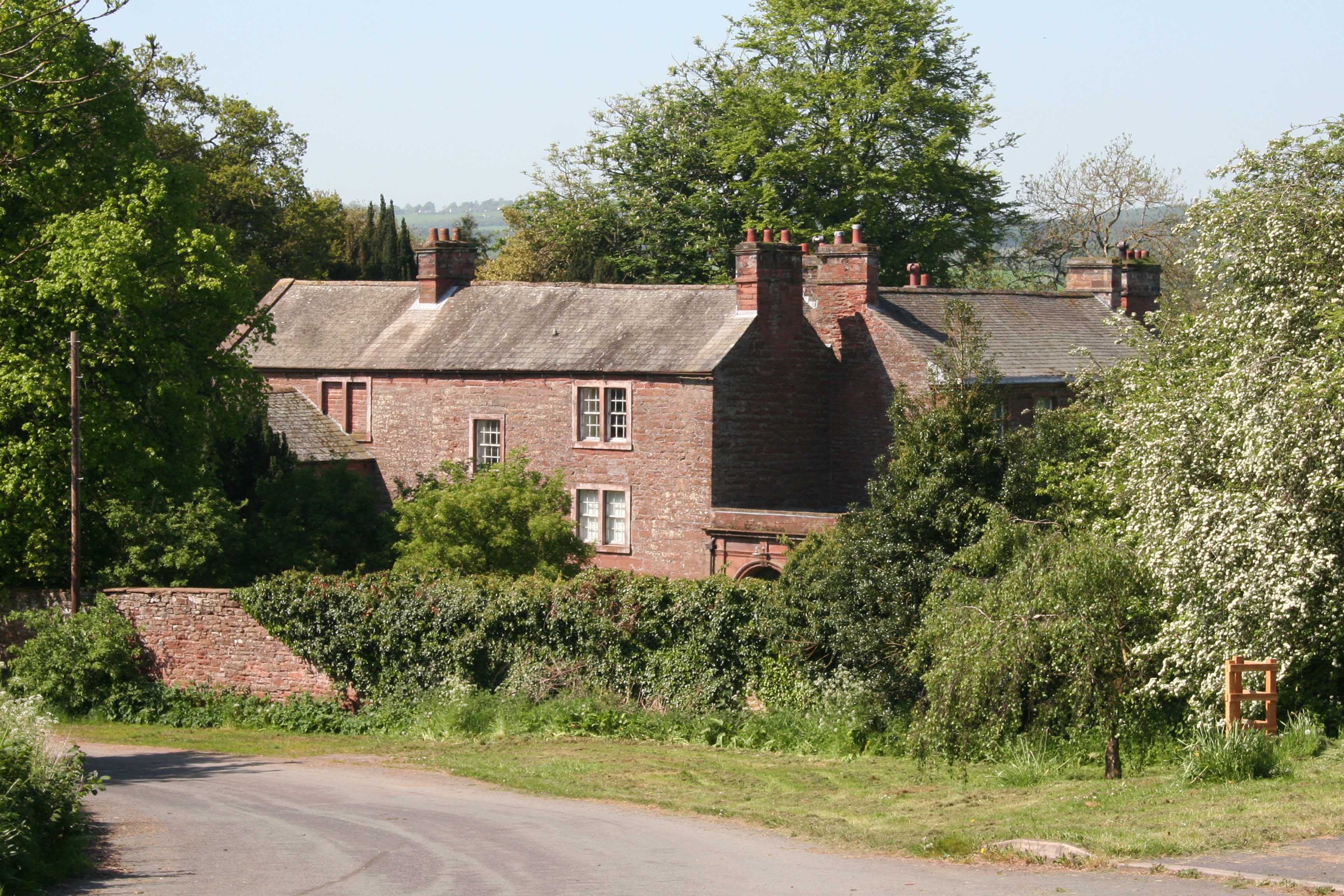
Cave Wood Images

Images are sourced within 2km of 54.734989/-2.6760578 or Grid Reference NY5637. Thanks to Geograph Open Source API. All images are credited.

Direction Sign – Signpost near Little Salkeld Located on the south side of a crossroads northeast of Little Salkeld. Hunsonby parish. 4 arms, 1 missing, and pawn finial. An arm indicating GLASSONBY 1½ / GAMBLESBY 3 has been lost some time after March 2022. See also <span class="nowrap"><a title="http://www.geog.port.ac.uk/webmap/thelakes/photos/bwx16.jpg" rel="nofollow ugc noopener" href="http://www.geog.port.ac.uk/webmap/thelakes/photos/bwx16.jpg">Link</a><img style="margin-left:2px;" alt="External link" title="External link - shift click to open in new window" src="https://s1.geograph.org.uk/img/external.png" width="10" height="10"/></span> , <a title="https://www.geograph.org.uk/photo/3371423" href="https://www.geograph.org.uk/photo/3371423">Link</a> , <a title="https://www.geograph.org.uk/photo/6827992" href="https://www.geograph.org.uk/photo/6827992">Link</a> and <a title="https://www.geograph.org.uk/photo/7120324" href="https://www.geograph.org.uk/photo/7120324">Link</a>.

Milestone Society National ID: CU_NY5736
Direction Sign – Signpost near Little Salkeld
Located on the south side of a crossroads northeast of Little Salkeld. Hunsonby parish. 4 arms, 1 missing, and pawn finial. An arm indicating GLASSONBY 1½ / GAMBLESBY 3 has been lost some time after March 2022. See also LinkExternal link , Link , Link and Link. Milestone Society National ID: CU_NY5736
Long Meg and her Daughters Stone Circle, Looking East.
Long Meg and her Daughters
Stone Circle, Looking East.
Long Meg's daughters. Long Meg and her Daughters is one of the largest stone circles in Britain. Some of the stones weigh up to 30 tons. Long Meg is the tallest stone in the circle. There is some rock art.
Long Meg's daughters.
Long Meg and her Daughters is one of the largest stone circles in Britain. Some of the stones weigh up to 30 tons. Long Meg is the tallest stone in the circle. There is some rock art.
Great Salkeld The parish church in the centre of this very picturesque village
Great Salkeld
The parish church in the centre of this very picturesque village
Mill Race, Little Salkeld The power and production of a mill depends upon the water flow. When I was there, the miller said he was down to producing eight bags a day, but in a good spate he could get up to 20 bags a day.
Mill Race, Little Salkeld
The power and production of a mill depends upon the water flow. When I was there, the miller said he was down to producing eight bags a day, but in a good spate he could get up to 20 bags a day.
Long Meg Long Meg stone is sandstone, but the daughters are porphyritic granite. Long Meg is 20 metres or so from the main circle and at the winter solstice, from the keystone in the circle, the sun is seen to set in the groove on the top of Long Meg.
Long Meg
Long Meg stone is sandstone, but the daughters are porphyritic granite. Long Meg is 20 metres or so from the main circle and at the winter solstice, from the keystone in the circle, the sun is seen to set in the groove on the top of Long Meg.
Settle Carlisle Railway Alongside the River Eden
Settle Carlisle Railway
Alongside the River Eden
River Eden Between Great and Little Salkelds
River Eden
Between Great and Little Salkelds
Derelict Signal Box On the Settle Carlisle Line.
Derelict Signal Box
On the Settle Carlisle Line.
Lacy's Caves This sandstone promontory on the River Eden has been excavated to create a five room cave - one of the doorways is visible.
Lacy's Caves
This sandstone promontory on the River Eden has been excavated to create a five room cave - one of the doorways is visible.
Inside Lacy's Caves The soft sandstone walls carry the graffiti of the ages. The caves were created by a Colonel Lacy back in the 1700s.
Inside Lacy's Caves
The soft sandstone walls carry the graffiti of the ages. The caves were created by a Colonel Lacy back in the 1700s.
River Eden Looking downstream - north
River Eden
Looking downstream - north
Marian Lodge, Little Salkeld With Cross Fell, in the Pennines, in the distance.
Marian Lodge, Little Salkeld
With Cross Fell, in the Pennines, in the distance.
Long Meg and her Daughters, Eden Valley, Cumbria This view shows Meg and all her Daughters as they are arranged in their stone circle. 
<span class="nowrap"><a title="http://www.visitcumbria.com/pen/longmeg.htm" rel="nofollow ugc noopener" href="http://www.visitcumbria.com/pen/longmeg.htm">Link</a><img style="margin-left:2px;" alt="External link" title="External link - shift click to open in new window" src="https://s1.geograph.org.uk/img/external.png" width="10" height="10"/></span>
Long Meg and her Daughters, Eden Valley, Cumbria
This view shows Meg and all her Daughters as they are arranged in their stone circle. LinkExternal link
The turn off to Gamblesby
Glassonby
Glassonby
House at Glassonbybeck
Church at Great Salkeld
Show me another place!

Cave Wood is located at Grid Ref: NY5637 (Lat: 54.734989, Lng: -2.6760578)

Administrative County: Cumbria

District: Eden

Police Authority: Cumbria

What 3 Words

///cable.finishing.confident. Near Penrith, Cumbria

Related Wikis

Nearby Amenities

Located within 500m of 54.734989,-2.6760578
Lacy's Caves
Access: permissive
Fee: no
Natural: cave_entrance
Tourism: attraction
Wikidata: Q6469162
Wikipedia: en:Lacy's Caves
Lat/Long: 54.7375784/-2.6787486
Long Meg Mine
Man Made: mine
Tourism: viewpoint
Wikidata: Q6672991
Wikipedia: en:Long Meg Mine
Lat/Long: 54.7329389/-2.6799954
Waterway: weir
Lat/Long: 54.734812/-2.68091
Power: pole
Lat/Long: 54.7336983/-2.6814214
Power: pole
Lat/Long: 54.7344698/-2.6822179
Power: pole
Lat/Long: 54.7353592/-2.6831761
Power: pole
Lat/Long: 54.7362597/-2.6827709
Power: pole
Lat/Long: 54.7347792/-2.669149
Power: pole
Lat/Long: 54.7355758/-2.671709
Power: pole
Lat/Long: 54.7374993/-2.6712928
Power: pole
Lat/Long: 54.7364538/-2.6715122
Power: pole
Lat/Long: 54.7345317/-2.6719385
Power: pole
Lat/Long: 54.7334497/-2.6718527
Power: pole
Lat/Long: 54.732391/-2.6718073
Power: pole
Lat/Long: 54.7316483/-2.6719536
Power: pole
Lat/Long: 54.7371316/-2.6824104
Power: pole
Lat/Long: 54.7379237/-2.6815478
The data included in this document is from www.openstreetmap.org. The data is made available under ODbL.

Have you been to Cave Wood?

Leave your review of Cave Wood below (or comments, questions and feedback).