Williams Wood

Wood, Forest in Shropshire

England

Williams Wood

The lane from Stone House Farm towards Broomcroft
The lane from Stone House Farm towards Broomcroft Credit: Richard Law

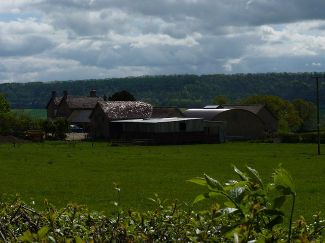
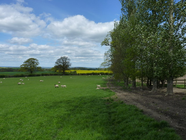
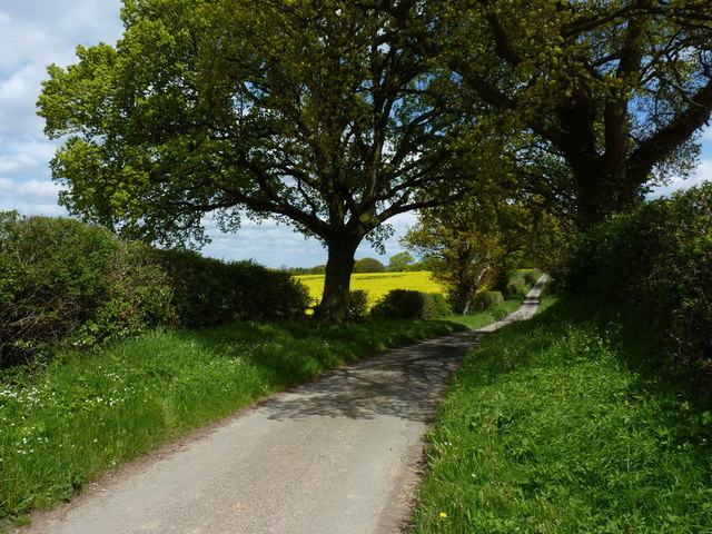
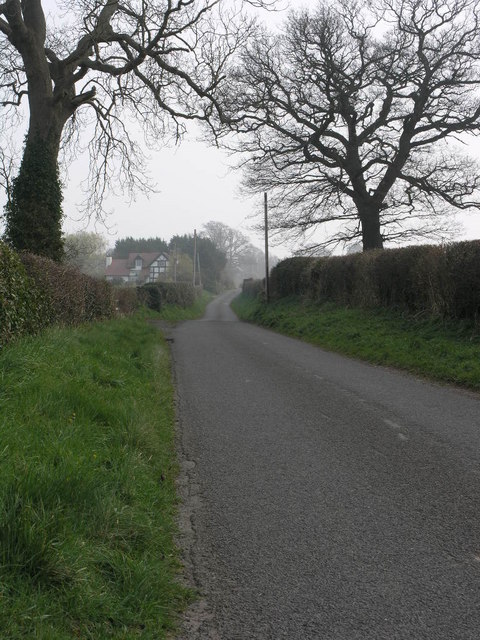
Williams Wood is a picturesque forest located in the county of Shropshire, England. Covering an area of approximately 100 acres, this woodland holds immense natural beauty and offers a tranquil escape for nature enthusiasts and visitors seeking solace in the midst of nature's embrace.

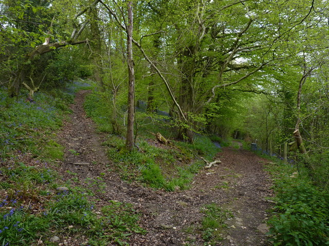
The forest is predominantly composed of broadleaf trees, including oak, beech, and ash, which create a dense canopy that filters sunlight and allows for a cool and shaded environment. The forest floor is covered with a thick layer of leaf litter, providing a haven for a diverse range of flora and fauna.

A network of well-maintained trails winds through Williams Wood, offering visitors the opportunity to explore its hidden gems. These trails cater to both casual walkers and avid hikers, with varying degrees of difficulty and lengths to suit all preferences. Along these paths, one can discover enchanting clearings, babbling brooks, and secret glades, all contributing to the enchanting atmosphere of the wood.

Wildlife thrives within Williams Wood, with a multitude of species calling it home. Birdwatchers can spot a variety of avian species, including woodpeckers, nuthatches, and owls. Squirrels can be seen darting through the treetops, while rabbits and deer occasionally make appearances in the more secluded areas.

Williams Wood is a true haven for nature lovers, offering a sanctuary away from the hustle and bustle of everyday life. Whether it's a leisurely stroll, a picnic in the shade, or an immersive hike, this forest promises a rejuvenating and awe-inspiring experience for all who step foot within its boundaries.

If you have any feedback on the listing, please let us know in the comments section below.

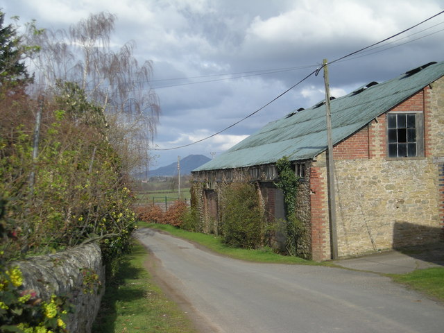
Williams Wood Images

Images are sourced within 2km of 52.620602/-2.6438384 or Grid Reference SJ5602. Thanks to Geograph Open Source API. All images are credited.

The lane from Stone House Farm towards Broomcroft
Stone House Farm Sunlight reflects off the roofs of the buildings at Stone House Farm, with the heavily wooded Wenlock Edge in the background.
Stone House Farm
Sunlight reflects off the roofs of the buildings at Stone House Farm, with the heavily wooded Wenlock Edge in the background.
Building or refurbishment  work underway at Wyres Barn
Building or refurbishment work underway at Wyres Barn
The ruins at Little Broomcroft
Cottage at Broomcroft A lucky shot - the summer's housemartins have arrived at their nesting grounds just east of Broomcroft Farm.
Cottage at Broomcroft
A lucky shot - the summer's housemartins have arrived at their nesting grounds just east of Broomcroft Farm.
Broomcroft Farm Suppliers of grass-fed beef and lamb, this farm lies just outside the village of Kenley.
Broomcroft Farm
Suppliers of grass-fed beef and lamb, this farm lies just outside the village of Kenley.
Broomcroft trig in the fields on Fetch Hill
Bluebells and a track through the woods Springtime in Fetch Hill coppice - these bluebells line a little-used track across the top of the woods.
Bluebells and a track through the woods
Springtime in Fetch Hill coppice - these bluebells line a little-used track across the top of the woods.
At the bend of the bridleway The woods hereabouts are extensively used for pheasant rearing, so most of them are signed as Private; the bridleway however opens part of them up to access on foot, bike or horseback.
At the bend of the bridleway
The woods hereabouts are extensively used for pheasant rearing, so most of them are signed as Private; the bridleway however opens part of them up to access on foot, bike or horseback.
The bridleway below Fetch Hill
Beehives on the hillside above Bull Farm These hives were quite active, with a couple of loose swarms forming in the adjacent trees. I kept Daft Dog well clear of those.
Beehives on the hillside above Bull Farm
These hives were quite active, with a couple of loose swarms forming in the adjacent trees. I kept Daft Dog well clear of those.
Bee swarm in hawthorn tree One of two swarms in the trees, beside a row of hives near Bull Farm.
Bee swarm in hawthorn tree
One of two swarms in the trees, beside a row of hives near Bull Farm.
Sheep grazing near Stonewall Wood The bridleway here runs through the delightfully-named Swallowtail Meadow.
Sheep grazing near Stonewall Wood
The bridleway here runs through the delightfully-named Swallowtail Meadow.
Along the lane towards Harnage Grange
Footpath and a field near Williams Wood
Harnage Grange A view of part of the extensive complex of farm buildings at Harnage Grange.
Harnage Grange
A view of part of the extensive complex of farm buildings at Harnage Grange.
Cut benchmark on a stone in the wall at Harnage Grange The stone strongly resembles a milestone, but apart from the cutmark (lower right), there's little lettering that can be made out.
Edit Late 2019 - it turns out to be a milestone after all <a href="https://www.geograph.org.uk/photo/6050857">SJ5602 : Old Milestone by Harnage Grange, Cound parish</a> shows a little more detail, albeit not that much.
Cut benchmark on a stone in the wall at Harnage Grange
The stone strongly resembles a milestone, but apart from the cutmark (lower right), there's little lettering that can be made out. Edit Late 2019 - it turns out to be a milestone after all SJ5602 : Old Milestone by Harnage Grange, Cound parish shows a little more detail, albeit not that much.
Freshly laid hedge near Woodside The Wrekin features in most of the views from this area.
Freshly laid hedge near Woodside
The Wrekin features in most of the views from this area.
Show me another place!

Williams Wood is located at Grid Ref: SJ5602 (Lat: 52.620602, Lng: -2.6438384)

Unitary Authority: Shropshire

Police Authority: West Mercia

What 3 Words

///reform.seducing.shelters. Near Kenley, Shropshire

Nearby Locations

Williams Wood

Related Wikis

Harnage

Harnage is a small village in the English county of Shropshire. It is located just SE of the village of Cound, in whose civil parish it lies, and the nearest...

Acton Pigott

Acton Pigott is a hamlet in the English county of Shropshire. It lies just outside the village of Acton Burnell. == See also == Listed buildings in Acton...

Kenley, Shropshire

Kenley is a small village and civil parish in the English county of Shropshire. It is located in remote countryside, atop a ridge at around 180 metres...

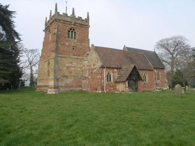
St Peter's Church, Cound

St Peter's Church is in the grounds of Cound Hall, Cound, Shropshire, England. It is an active Anglican parish church in the deanery of Condover, the archdeaconry...

Nearby Amenities

Located within 500m of 52.620602,-2.6438384
Turning Circle
Lat/Long: 52.6207428/-2.6506836
Passing Place
Lat/Long: 52.6190432/-2.6376535
Give Way
Direction: forward
Lat/Long: 52.6247294/-2.6430789
The data included in this document is from www.openstreetmap.org. The data is made available under ODbL.

Have you been to Williams Wood?

Leave your review of Williams Wood below (or comments, questions and feedback).