Bowbank Wood
Wood, Forest in Cumberland Carlisle
England
Bowbank Wood
Bowbank Wood is a picturesque forest located in Cumberland, a historical county in northwest England. Spanning an area of approximately 500 acres, the wood is nestled in the heart of the stunning Lake District National Park. It is renowned for its diverse flora and fauna, making it a haven for nature enthusiasts and wildlife lovers.
The wood is primarily composed of deciduous trees, including oak, beech, and birch, which provide a stunning display of colors during the autumn months. The dense foliage and towering trees create a tranquil and peaceful atmosphere, making it an ideal destination for those seeking solitude and a connection with nature.
Numerous walking trails crisscross the wood, offering visitors the opportunity to explore its beauty and discover hidden gems within. These pathways range from easy strolls along well-maintained tracks to more challenging hikes for the adventurous. Along the way, visitors may encounter a variety of wildlife, such as red squirrels, deer, and a wide range of bird species, including woodpeckers and owls.
Bowbank Wood also boasts a rich history, with evidence of human habitation dating back thousands of years. Archaeological sites within the wood include ancient burial mounds and remnants of Iron Age settlements, providing a glimpse into the area's past.
Overall, Bowbank Wood in Cumberland is a captivating destination that offers a harmonious blend of natural beauty, biodiversity, and historical significance. It is a place where visitors can immerse themselves in the tranquility of the forest, explore its trails, and appreciate the wonders of the natural world.
If you have any feedback on the listing, please let us know in the comments section below.
Bowbank Wood Images
Images are sourced within 2km of 54.92753/-2.6804075 or Grid Reference NY5659. Thanks to Geograph Open Source API. All images are credited.


Bowbank Wood is located at Grid Ref: NY5659 (Lat: 54.92753, Lng: -2.6804075)
Administrative County: Cumbria
District: Carlisle
Police Authority: Cumbria
What 3 Words
///conspire.vibrates.organisms. Near Brampton, Cumbria
Nearby Locations
Related Wikis
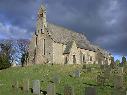
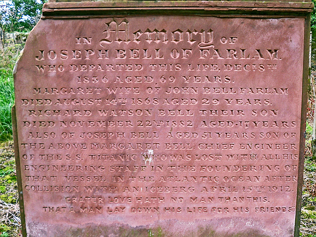
Farlam
Farlam is a village and civil parish in the City of Carlisle District, in the English county of Cumbria. The village is about 2+1⁄4 miles (3.6 km) southeast...
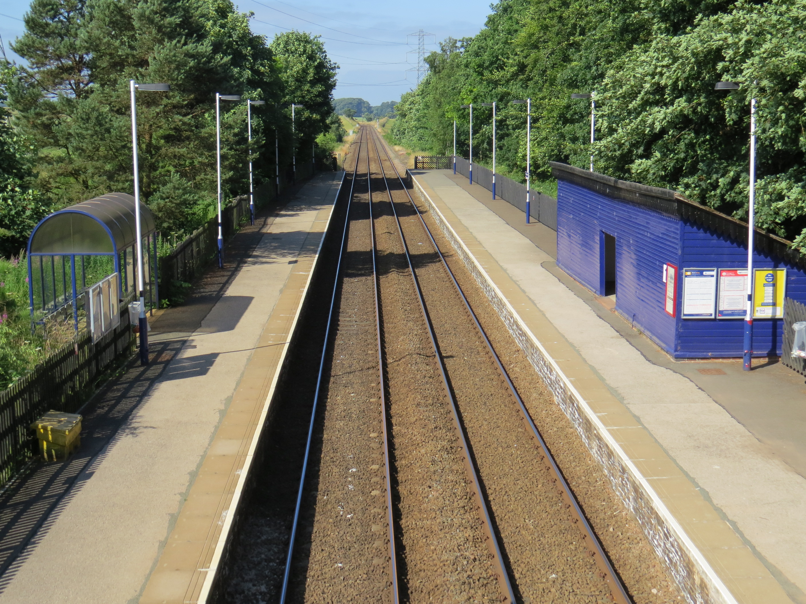
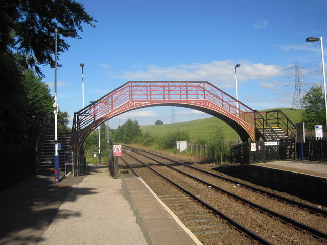
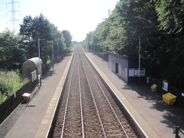
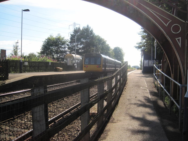
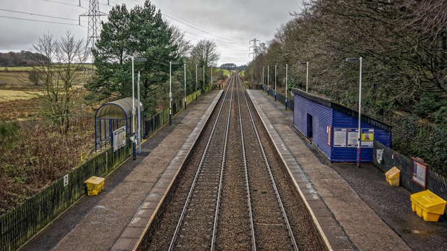
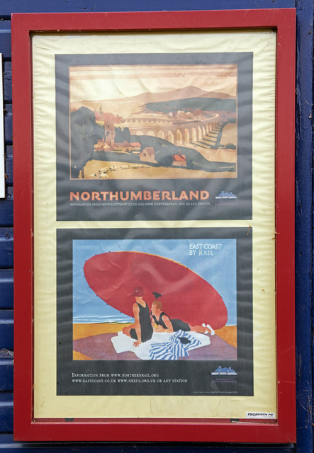
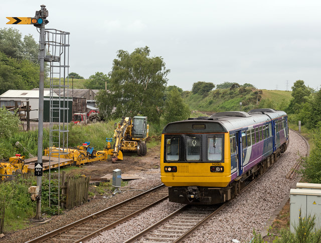
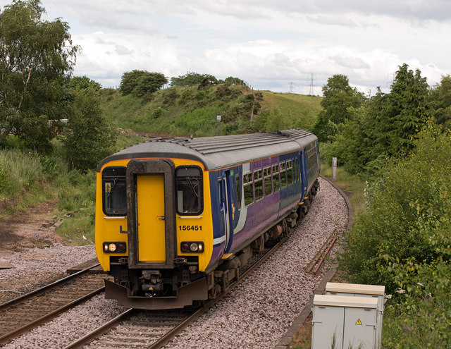
Brampton railway station (Cumbria)
Brampton (Cumbria) is a railway station on the Tyne Valley Line, which runs between Newcastle and Carlisle via Hexham. The station, situated 10 miles 62...
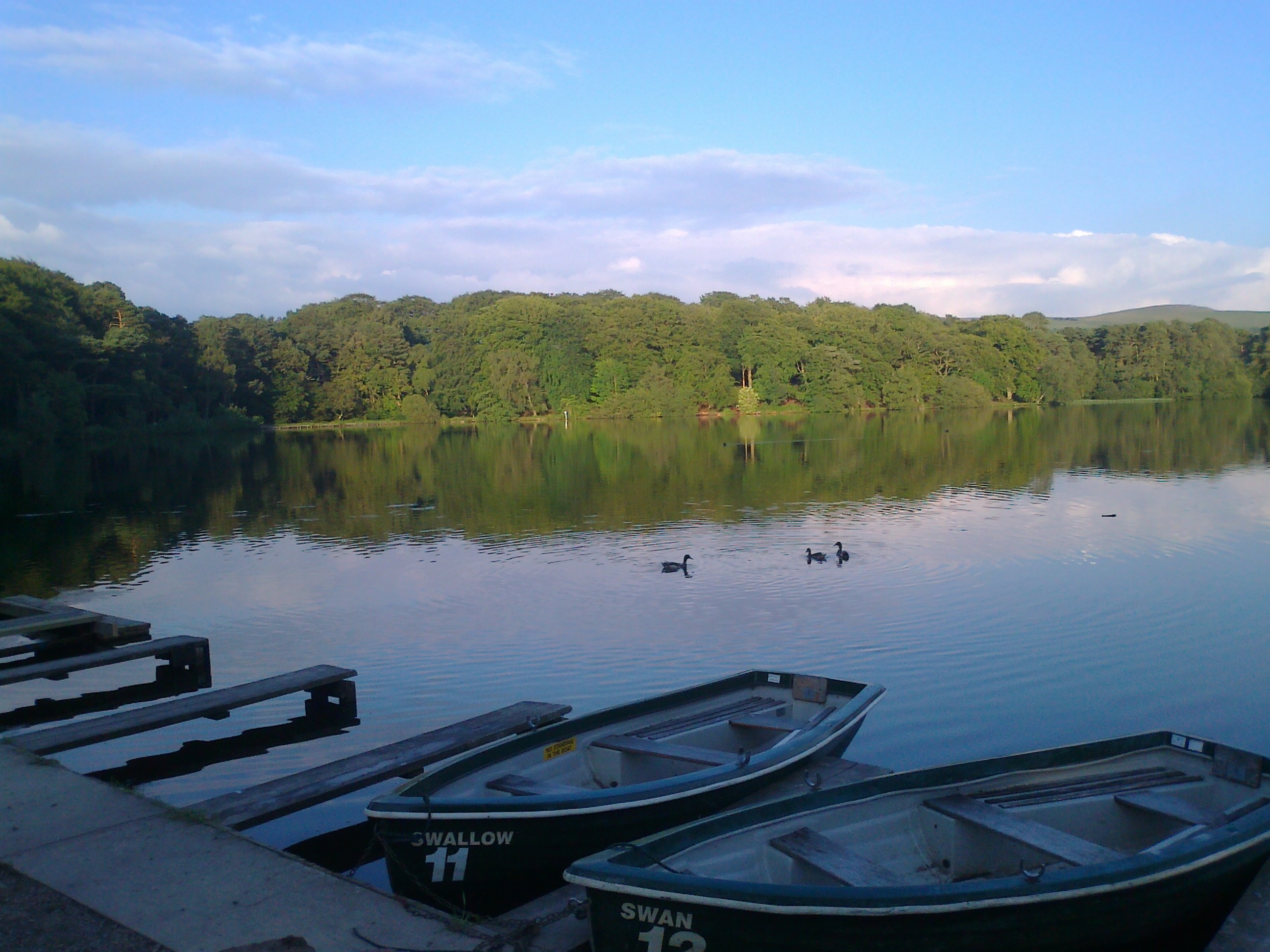
Talkin Tarn
Talkin Tarn is a glacial lake and country park near Brampton, Cumbria, England. The lake is in a kettle hole, formed 10,000 years ago by mass glacial...

Hallbankgate
Hallbankgate is a village in Cumbria, England, 13 miles (21 km) east of Carlisle. A former coal and lead mining village, it straddles the A689 Brampton...
Nearby Amenities
Located within 500m of 54.92753,-2.6804075Have you been to Bowbank Wood?
Leave your review of Bowbank Wood below (or comments, questions and feedback).