Box Crofts
Wood, Forest in Somerset Mendip
England
Box Crofts

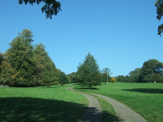
Box Crofts is a small village located in Somerset, England. Situated in a rural area, it is known for its abundant woodlands and forests, making it an ideal destination for nature enthusiasts and outdoor lovers. The village is surrounded by picturesque landscapes, with rolling hills and meandering streams adding to its charm.
The woodlands in Box Crofts are rich in biodiversity, home to a variety of flora and fauna. Visitors can explore the well-maintained walking trails that wind through the forests, allowing them to immerse themselves in the natural beauty of the area. The woodlands are particularly famous for their ancient oak trees, some of which have stood for centuries, providing a glimpse into the village's historical past.
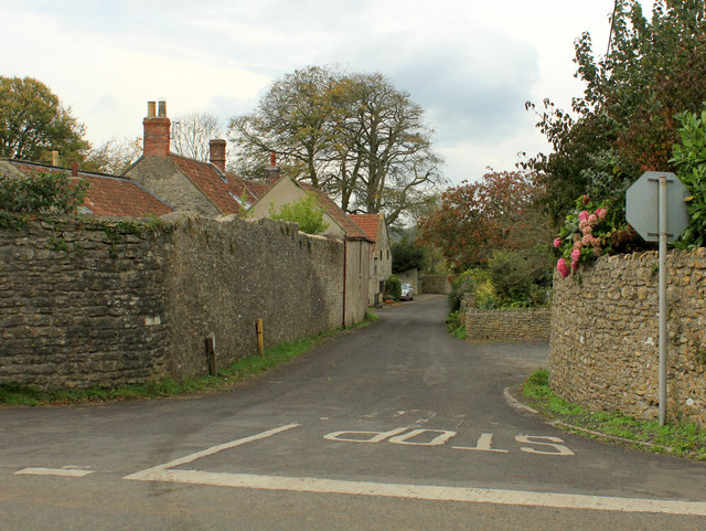
In addition to its natural attractions, Box Crofts also boasts a close-knit community and a range of amenities for residents and visitors alike. The village features a small but thriving local economy, with a handful of shops, cafes, and pubs that offer a warm welcome to visitors. The community organizes various events throughout the year, including fairs and festivals, creating a vibrant and lively atmosphere.
Box Crofts is well-connected to neighboring towns and cities, making it easily accessible for day trips or longer stays. Its tranquil setting, combined with its natural beauty and community spirit, makes it an idyllic destination for those seeking a peaceful retreat in the heart of the Somerset countryside.
If you have any feedback on the listing, please let us know in the comments section below.
Box Crofts Images
Images are sourced within 2km of 51.226911/-2.6245516 or Grid Reference ST5647. Thanks to Geograph Open Source API. All images are credited.


Box Crofts is located at Grid Ref: ST5647 (Lat: 51.226911, Lng: -2.6245516)
Administrative County: Somerset
District: Mendip
Police Authority: Avon and Somerset
What 3 Words
///uproot.washroom.quiet. Near Mendip, Somerset
Nearby Locations
Related Wikis

Pen Hill
Pen Hill forms part of the Mendip Hills plateau in Somerset, England. The hill is located in St Cuthbert Out civil parish in Mendip district. The name...
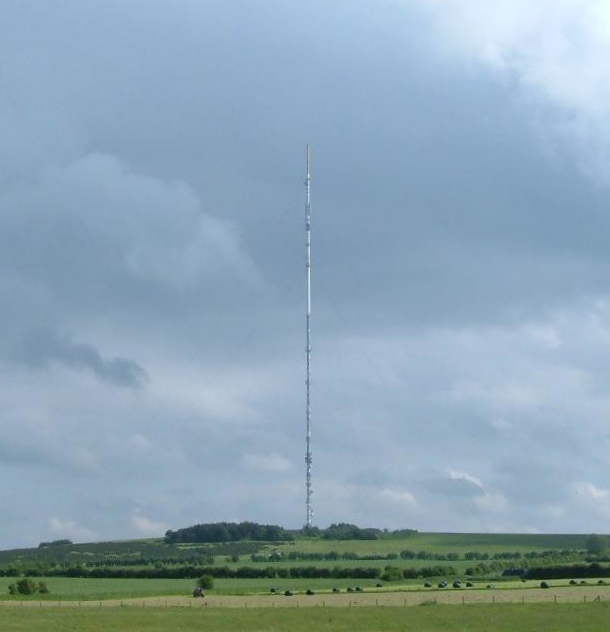
Mendip transmitting station
The Mendip transmitting station is a broadcasting and telecommunications facility on the summit of Pen Hill, part of the Mendip Hills range in Somerset...
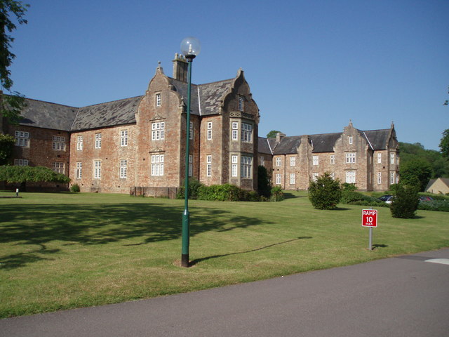
Mendip Hospital
Mendip Hospital opened in 1848 as the Somerset and Bath Pauper Lunatic Asylum at Horrington, near Wells, in the English county of Somerset. As a county...

Horrington
Horrington is a collection of three small villages (South Horrington, East Horrington and West Horrington) in the parish of St Cuthbert Out 1 mile (2 km...
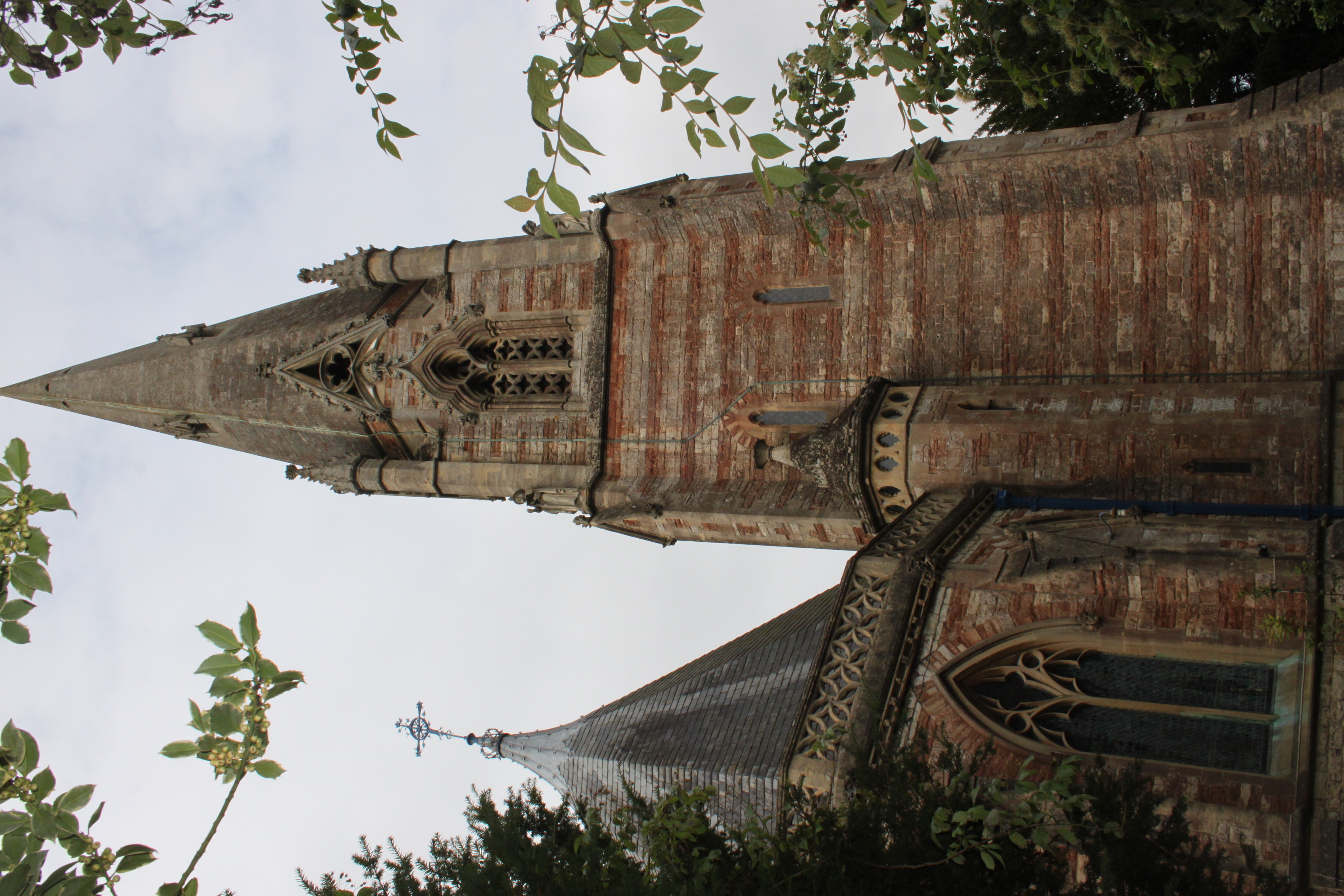
Church of St Thomas, Wells
The Church of St Thomas in Wells, Somerset, England, was built in the 1850s. It is a Grade II* listed building. == History == The church was built during...
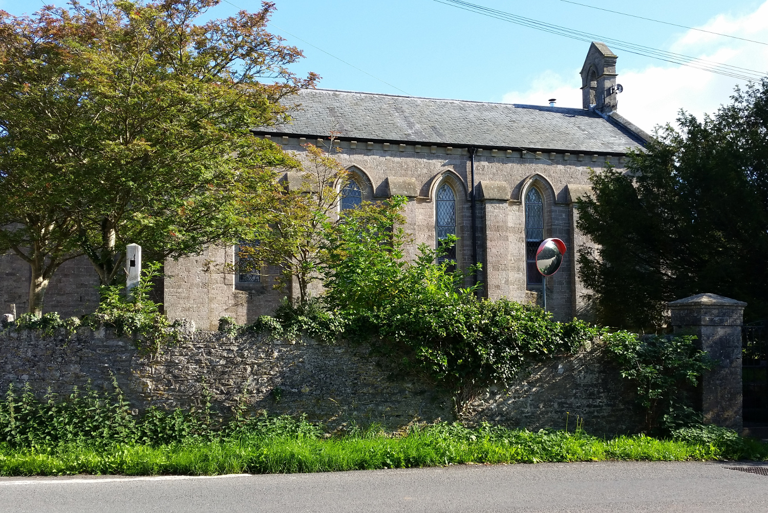
St John's Church, East Horrington
St John's Church is a former Church of England church in East Horrington, Somerset, England. It was built in 1838 to the designs of Richard Carver and...

Wells Cathedral School
Wells Cathedral School is a co-educational independent day and boarding school located in Wells, Somerset, England. The school is one of the five specialist...
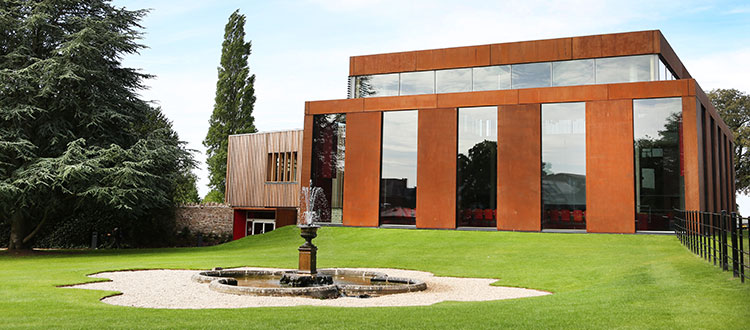
Cedars Hall
Cedars Hall is Wells Cathedral School's performing arts venue located in Wells, Somerset, England. Opened in autumn 2016, it provides the capacity for...
Have you been to Box Crofts?
Leave your review of Box Crofts below (or comments, questions and feedback).