Gravel Hole Wood
Wood, Forest in Lancashire South Ribble
England
Gravel Hole Wood

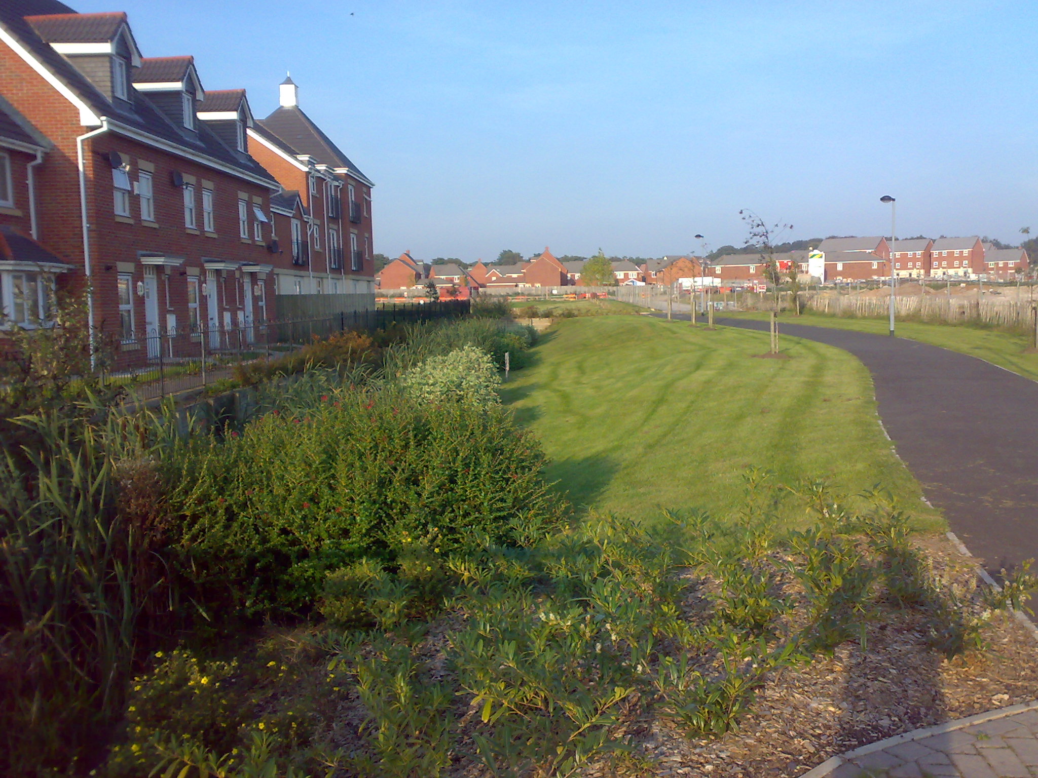
Gravel Hole Wood is a picturesque woodland located in Lancashire, England. Covering an area of approximately 50 acres, it is known for its diverse range of flora and fauna, making it a popular destination for nature enthusiasts and walkers.
The wood is predominantly composed of broadleaf trees, with oak, beech, and birch being the most dominant species. These trees create a dense canopy, providing a cool and shaded environment throughout the year. Underneath the canopy, the woodland floor is covered in a thick carpet of bluebells, wild garlic, and ferns, creating a vibrant and colorful display during the spring and summer months.
The wood is home to a variety of wildlife, including mammals such as deer, foxes, and badgers. Birdwatchers can also spot an array of species, including woodpeckers, owls, and various songbirds. The wood's diverse ecosystem also supports a wide range of insects, butterflies, and other invertebrates.
Gravel Hole Wood is crisscrossed by a network of well-maintained footpaths, allowing visitors to explore the woodland at their leisure. These paths lead visitors through enchanting glades, along bubbling streams, and to scenic viewpoints. The wood also features a picnic area, providing a perfect spot for visitors to relax and enjoy the tranquil surroundings.
Managed by the local council, Gravel Hole Wood is carefully preserved to ensure the protection of its wildlife and natural beauty. It offers a peaceful retreat away from the hustle and bustle of urban life, providing a haven for both humans and wildlife alike.
If you have any feedback on the listing, please let us know in the comments section below.
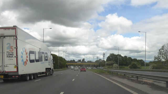
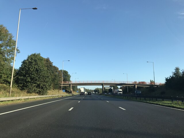
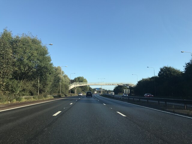
Gravel Hole Wood Images
Images are sourced within 2km of 53.688224/-2.6641218 or Grid Reference SD5621. Thanks to Geograph Open Source API. All images are credited.


Gravel Hole Wood is located at Grid Ref: SD5621 (Lat: 53.688224, Lng: -2.6641218)
Administrative County: Lancashire
District: South Ribble
Police Authority: Lancashire
What 3 Words
///magazines.target.shaped. Near Clayton-le-Woods, Lancashire
Nearby Locations
Related Wikis
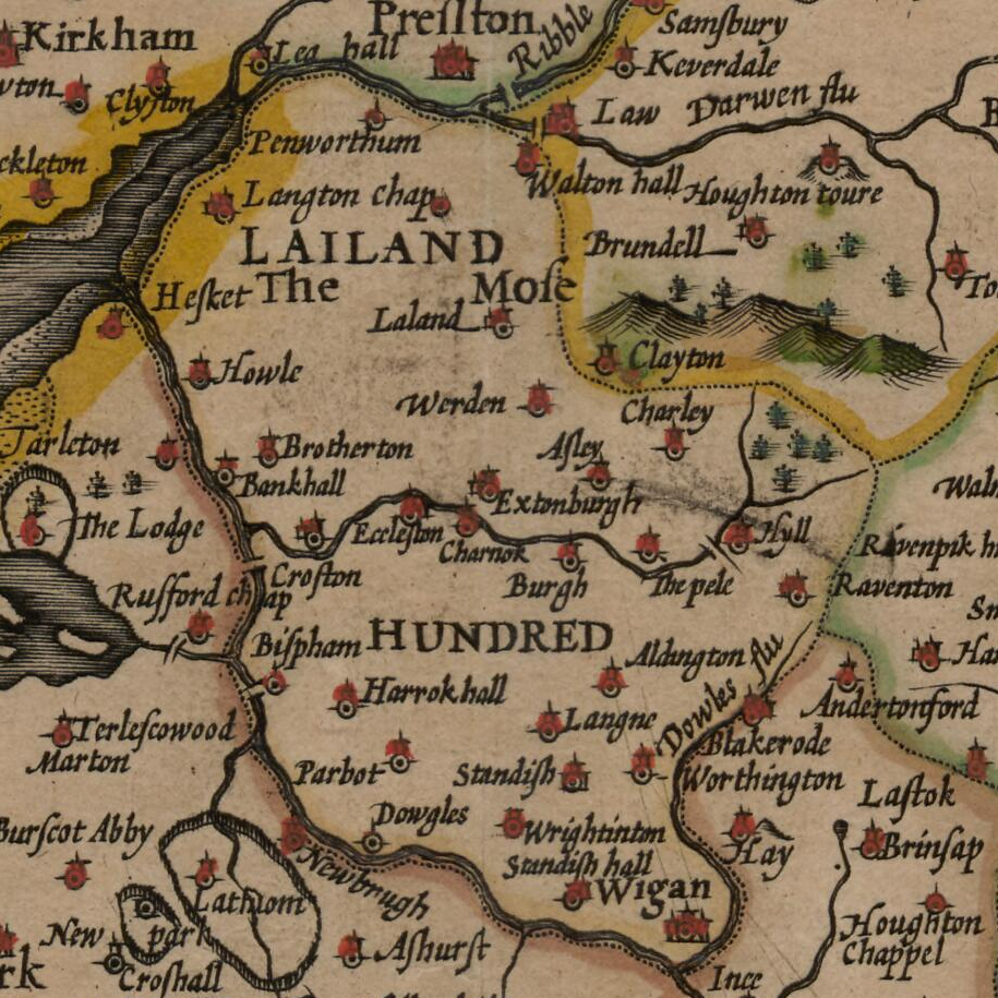
Leyland Hundred
The Leyland Hundred (also known as Leylandshire) is a historic subdivision of the English county of Lancashire. It covered the parishes of Brindle, Chorley...
Buckshaw Village
Buckshaw Village (often shortened to Buckshaw) is a 21st-century residential and industrial area between the towns of Chorley and Leyland in Lancashire...

ROF Chorley
ROF Chorley was a UK government-owned munitions filling Royal Ordnance Factory (Filling Factory No. 1). It was planned as a permanent Royal Ordnance Factory...

Clayton-le-Woods
Clayton-le-Woods (Commonly shortened to Clayton) is a large village and civil parish of the Borough of Chorley, in Lancashire, England. According to the...
Nearby Amenities
Located within 500m of 53.688224,-2.6641218Have you been to Gravel Hole Wood?
Leave your review of Gravel Hole Wood below (or comments, questions and feedback).