Barrackbank Wood
Wood, Forest in Westmorland Eden
England
Barrackbank Wood
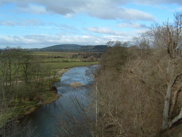
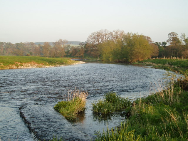
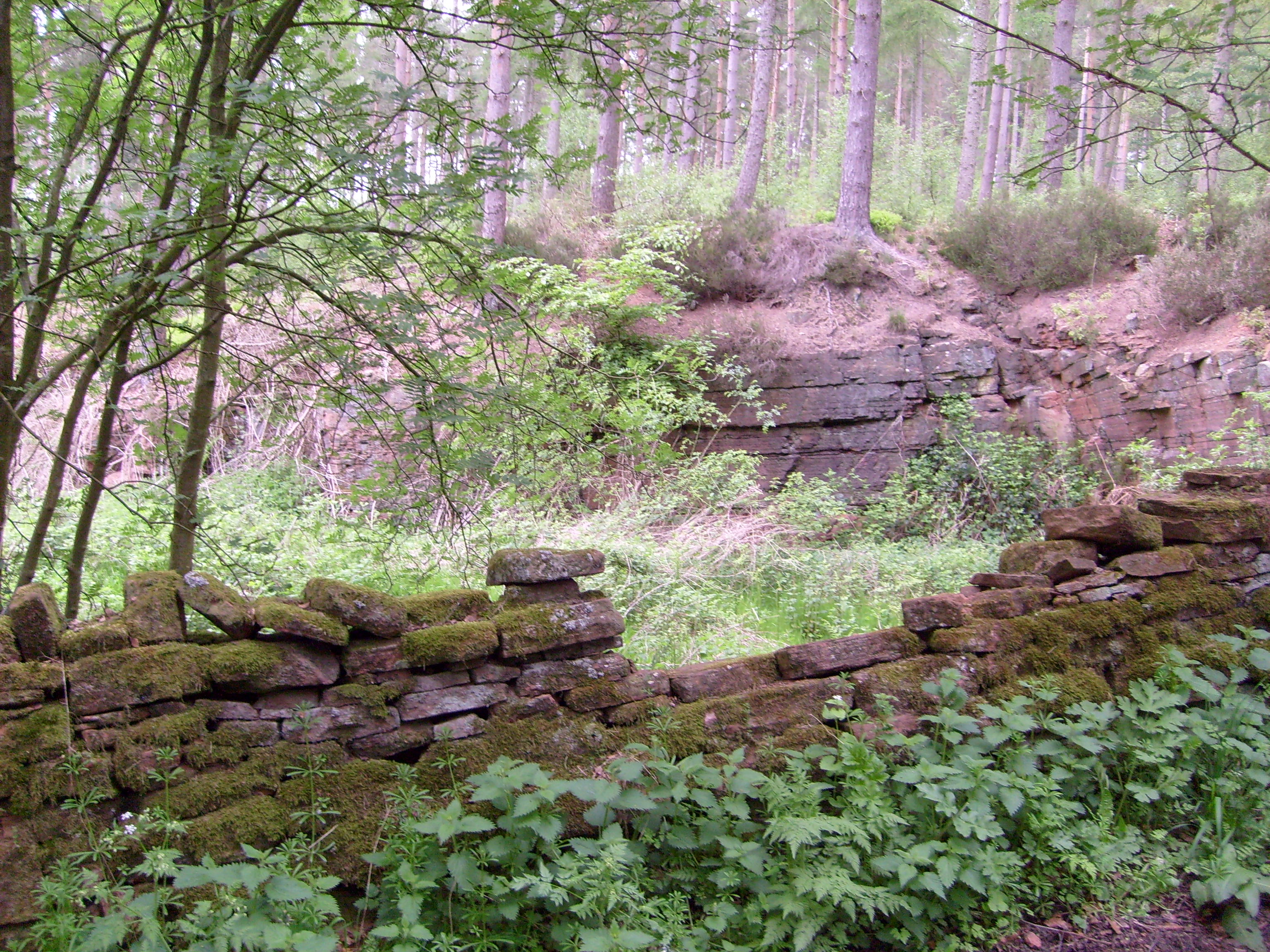
Barrackbank Wood is a picturesque woodland located in the county of Westmorland, England. Situated in the heart of the Lake District National Park, this enchanting forest covers an area of approximately 200 acres and is renowned for its natural beauty and diverse range of flora and fauna.
The wood is predominantly composed of ancient broadleaf trees, including oak, ash, and beech, creating a dense canopy that provides a haven for various woodland creatures. The forest floor is adorned with a rich tapestry of wildflowers, ferns, and mosses, adding to its enchanting atmosphere.
Traversing through Barrackbank Wood, visitors can enjoy a network of well-maintained trails and footpaths, allowing them to explore the woodland at their leisure. The paths meander through peaceful glades, along babbling brooks, and past tranquil ponds, providing ample opportunities for wildlife spotting and birdwatching.
The wood is also home to a diverse array of wildlife, including red squirrels, badgers, deer, and a variety of bird species such as woodpeckers, owls, and warblers. This makes it a popular destination for nature enthusiasts and photographers, who flock to the area to capture the beauty of the woodland and its inhabitants.
Barrackbank Wood is not only a place of natural beauty, but also holds historical significance. It is believed to have been a former hunting ground for the local nobility and has remnants of an old hunting lodge, providing a glimpse into the area's past.
Overall, Barrackbank Wood in Westmorland is a charming and idyllic woodland that offers visitors a tranquil escape into nature, with its ancient trees, diverse wildlife, and captivating scenery.
If you have any feedback on the listing, please let us know in the comments section below.
Barrackbank Wood Images
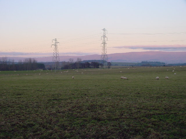
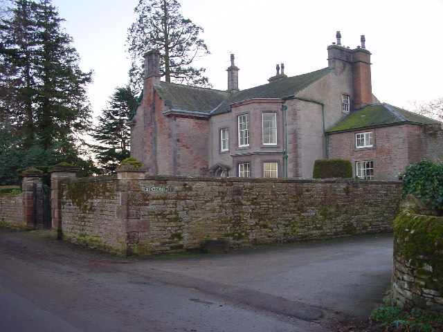
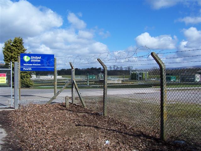
Images are sourced within 2km of 54.655326/-2.6815697 or Grid Reference NY5629. Thanks to Geograph Open Source API. All images are credited.


Barrackbank Wood is located at Grid Ref: NY5629 (Lat: 54.655326, Lng: -2.6815697)
Administrative County: Cumbria
District: Eden
Police Authority: Cumbria
What 3 Words
///feasting.icon.poems. Near Penrith, Cumbria
Nearby Locations
Related Wikis
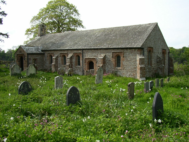
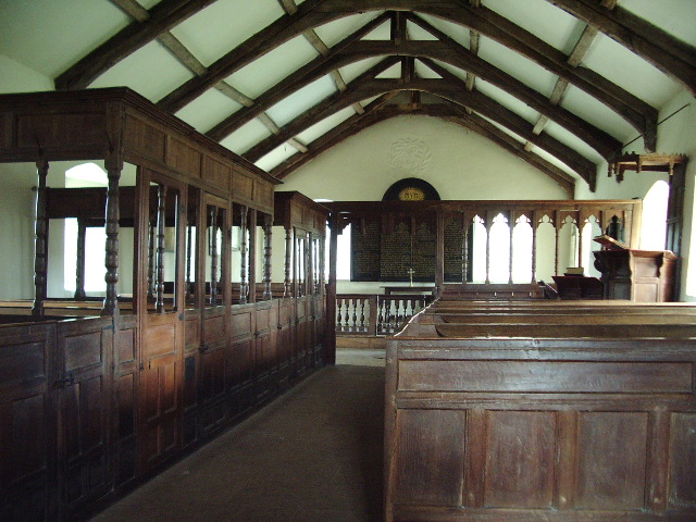
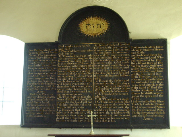
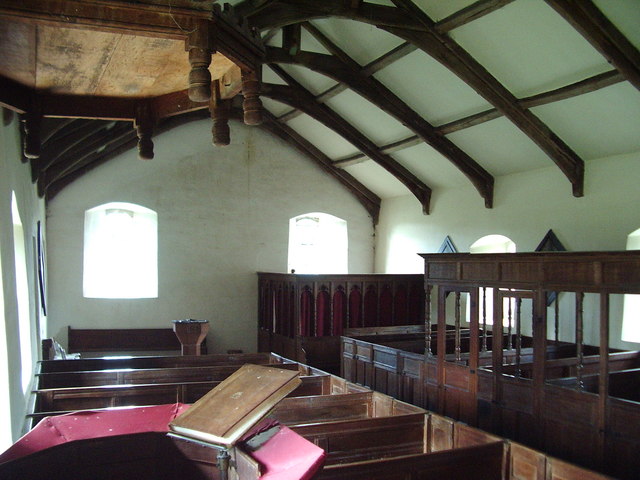
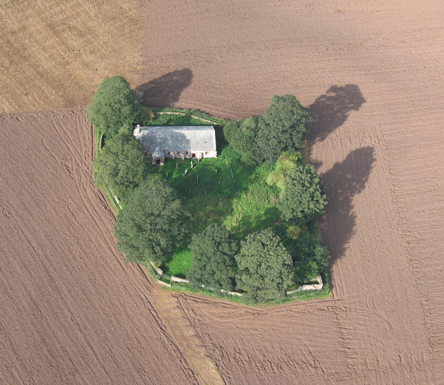
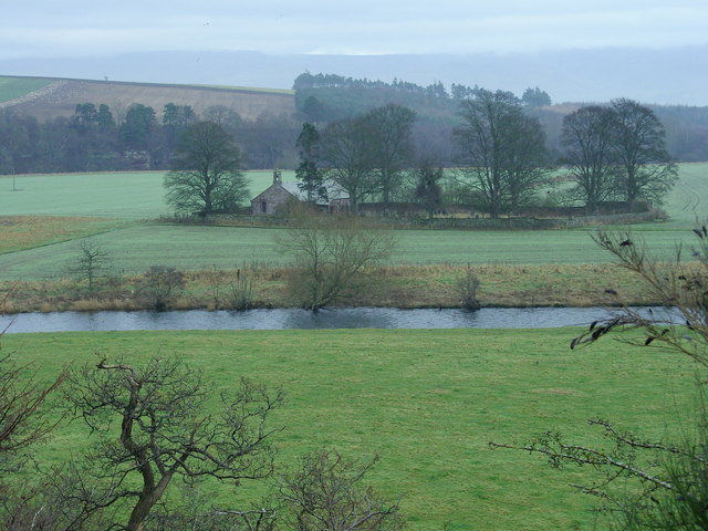
Ninekirks
Ninekirks is the local name for St Ninian's church, Brougham, Cumbria. Dedicated to Saint Ninian, it was formerly the Anglican parish church for Brougham...

RAF Hornby Hall
RAF Hornby Hall was a Royal Air Force satellite landing ground located near Brougham, 4 miles (6.4 km) east of Penrith, Cumbria and 8.8 miles (14.2 km...
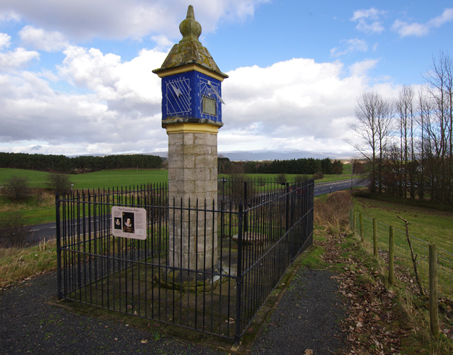
Countess Pillar
The Countess Pillar is a 17th-century monument near Brougham, Cumbria, England, between Penrith and Appleby. It is two miles east of Penrith on the A66...
Penrith A.F.C.
Penrith Association Football Club is a football club based in Penrith, Cumbria, England. They play in the Northern Football League Division One and their...
Whinfell Forest
Whinfell Forest is a small area of woodland in the parish of Brougham, Cumbria, south east of Penrith in Cumbria and just off the A66 road leading to Appleby...

Brocavum
Brocavum is the Latin name of a Roman fort at Brougham near Penrith, Cumbria. The fort survives as earthworks, but no excavation of these has been carried...

Brougham Castle
Brougham Castle (pronounced ) is a medieval building about 2 miles (3.2 km) south-east of Penrith, Cumbria, England. The castle was founded by Robert I...

Wetheriggs Pottery
Wetheriggs Pottery is a former pottery on the C3047 road, east of the hamlet of Clifton Dykes, in Clifton, Cumbria, 5 miles (8.0 km) southeast of Penrith...
Nearby Amenities
Located within 500m of 54.655326,-2.6815697Have you been to Barrackbank Wood?
Leave your review of Barrackbank Wood below (or comments, questions and feedback).