Black Plain Wood

Wood, Forest in Cumberland Eden

England

Black Plain Wood

Eden Bridge from east bank of River Eden The bridge carries the B6413 over the River Eden
Eden Bridge from east bank of River Eden Credit: Luke Shaw

Black Plain Wood is a picturesque forest located in Cumberland, England. Spread across an area of approximately 500 acres, this wood is known for its dense vegetation and diverse range of tree species. It forms a crucial part of the larger forested landscape in the region and is considered a valuable natural resource.

The forest is predominantly characterized by its black, fertile soil, giving rise to its name, "Black Plain Wood." The soil composition is ideal for supporting the growth of various tree species, including oak, ash, birch, and beech. These trees create a dense canopy that provides shade and shelter to a rich variety of plant and animal life.

Walking through Black Plain Wood, visitors are greeted with a serene atmosphere and a tranquil ambiance. The forest floor is covered with an array of wildflowers, ferns, and mosses, adding to its enchanting beauty. The wood is also home to several species of birds, insects, and mammals, making it a haven for wildlife enthusiasts and nature lovers.

Due to its natural beauty and ecological significance, Black Plain Wood is a popular destination for recreational activities such as hiking, birdwatching, and photography. The forest offers a network of well-maintained trails, allowing visitors to explore its diverse ecosystems and enjoy the peaceful surroundings.

Conservation efforts are in place to protect and preserve Black Plain Wood's unique habitat and maintain its delicate balance. These measures ensure that future generations can continue to appreciate and benefit from the natural wonders that this forest has to offer.

If you have any feedback on the listing, please let us know in the comments section below.

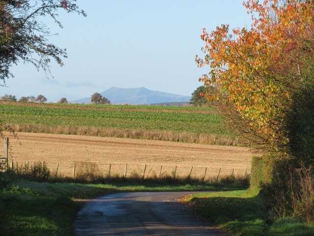
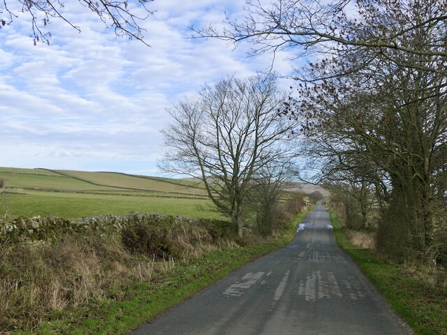
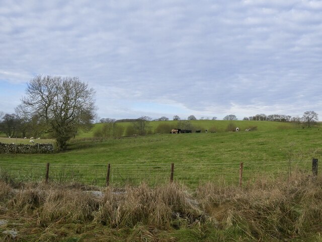
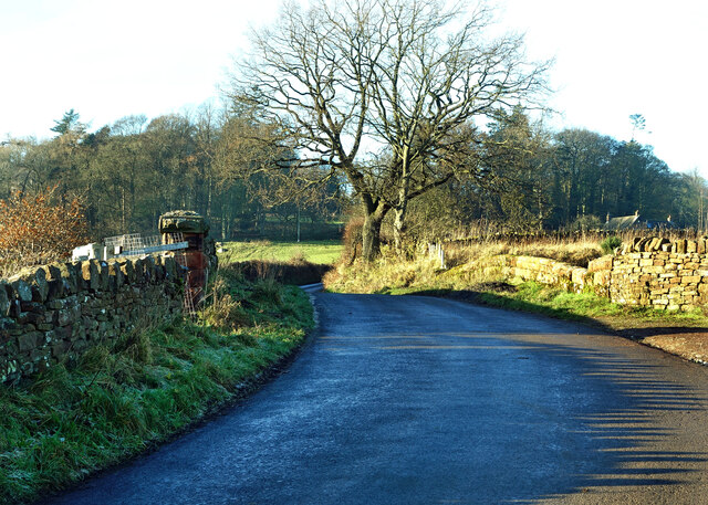
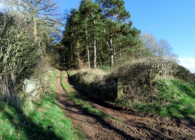
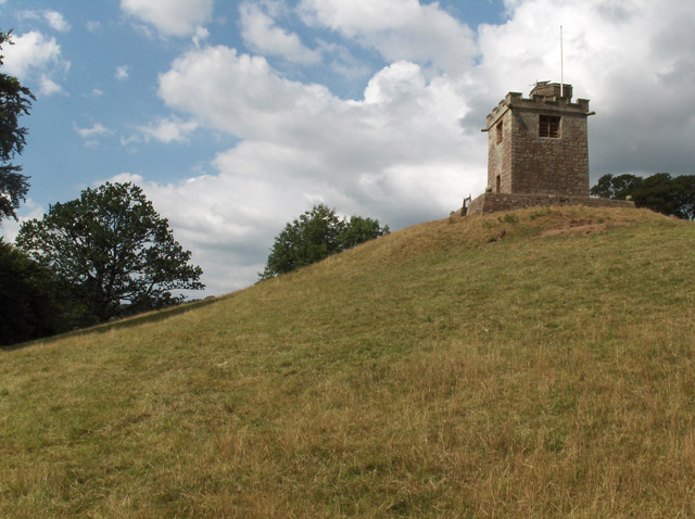
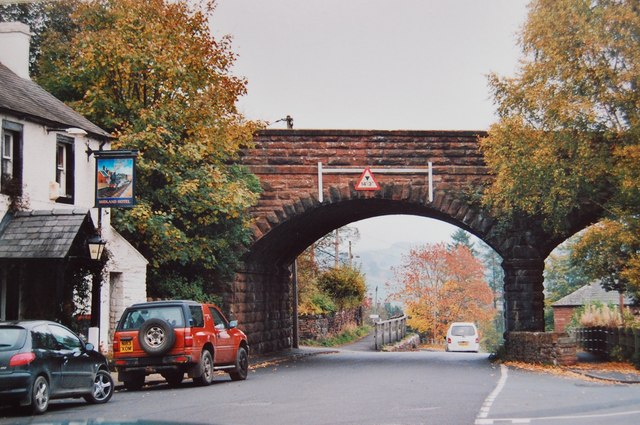
Black Plain Wood Images

Images are sourced within 2km of 54.767515/-2.6835322 or Grid Reference NY5641. Thanks to Geograph Open Source API. All images are credited.

Eden Bridge from east bank of River Eden The bridge carries the B6413 over the River Eden
Eden Bridge from east bank of River Eden
The bridge carries the B6413 over the River Eden
Fetherston Arms, Kirkoswald One of two excellent pubs in this attractive Cumbrian village.
Fetherston Arms, Kirkoswald
One of two excellent pubs in this attractive Cumbrian village.
Disused chapel in Kirkoswald Old OS maps show this as a Congregational chapel, but it appears not to have been used for worship for many years.
Disused chapel in Kirkoswald
Old OS maps show this as a Congregational chapel, but it appears not to have been used for worship for many years.
Main Street, Kirkoswald The main street drops down a hill towards Raven Beck. The two excellent village pubs are visible here, with the Fetherston Arms to the left and the Crown Inn to the right.
Main Street, Kirkoswald
The main street drops down a hill towards Raven Beck. The two excellent village pubs are visible here, with the Fetherston Arms to the left and the Crown Inn to the right.
Country lane at Howscales A sunny October morning with hedgerow trees turning colour. Beyond the crop fields one can see the distinctive outline of Blencathra in the distance.
Country lane at Howscales
A sunny October morning with hedgerow trees turning colour. Beyond the crop fields one can see the distinctive outline of Blencathra in the distance.
St Oswald's bell tower How unusual to discover that the bell tower for St Oswald's church is sat on top of a hill well above the church. The tower dates from 1897, replacing a wooden structure of 1747.
St Oswald's bell tower
How unusual to discover that the bell tower for St Oswald's church is sat on top of a hill well above the church. The tower dates from 1897, replacing a wooden structure of 1747.
Church of St Oswald at Kirkoswald The church is outside the village tucked beneath a hillside and at the edge of the Eden flood plain - a rather odd location. The building is of different ages with some parts as early as the 12th century, whilst much of the fabric is 15th century.
Church of St Oswald at Kirkoswald
The church is outside the village tucked beneath a hillside and at the edge of the Eden flood plain - a rather odd location. The building is of different ages with some parts as early as the 12th century, whilst much of the fabric is 15th century.
Pheasant on a dyke Against a Pennine background.
Pheasant on a dyke
Against a Pennine background.
Road to Staffield
Road to Staffield
Long straight road, Scales
Grazing cattle, High Bankhill
Crossing the Settle-Carlisle line This is where Fiddler’s Lane crosses the line. A winter view taken on a mid-December afternoon.
Crossing the Settle-Carlisle line
This is where Fiddler’s Lane crosses the line. A winter view taken on a mid-December afternoon.
Lazonby farmland view Looking into the Eden Valley from Fiddler’s Lane. These fields are being used for winter livestock feeding.
Lazonby farmland view
Looking into the Eden Valley from Fiddler’s Lane. These fields are being used for winter livestock feeding.
Eden Bridge A closer look at this lovely old sandstone bridge near Lazonby, viewed from the adjoining square in winter afternoon sunshine.
Eden Bridge
A closer look at this lovely old sandstone bridge near Lazonby, viewed from the adjoining square in winter afternoon sunshine.
Towards Dead Man’s Slack There’s no public access along this muddy woodland track near Dead Man’s Slack.
Towards Dead Man’s Slack
There’s no public access along this muddy woodland track near Dead Man’s Slack.
Heading for Kirkoswald A mid-March view of farmland in the Eden Valley.
Heading for Kirkoswald
A mid-March view of farmland in the Eden Valley.
Kirkoswald Castle All that’s left is a single ruined tower and some earthworks around the site. On this mid-March visit, it was possible to get a glimpse of the building before the foliage opened out on the trees.
Kirkoswald Castle
All that’s left is a single ruined tower and some earthworks around the site. On this mid-March visit, it was possible to get a glimpse of the building before the foliage opened out on the trees.
Footpath near Kirkoswald Castle The path connects Kirkoswald with Glassonby.
Footpath near Kirkoswald Castle
The path connects Kirkoswald with Glassonby.
Show me another place!

Black Plain Wood is located at Grid Ref: NY5641 (Lat: 54.767515, Lng: -2.6835322)

Administrative County: Cumbria

District: Eden

Police Authority: Cumbria

What 3 Words

///closet.alongside.chilled. Near Penrith, Cumbria

Related Wikis

Nearby Amenities

Located within 500m of 54.767515,-2.6835322
Berry Common
Naptan AtcoCode: 090074361802
Naptan Bearing: E
Naptan BusStopType: CUS
Naptan CommonName: Berry Common
Naptan Indicator: near
Naptan Landmark: telephone in Village
Naptan NaptanCode: cumdamwa
Naptan Street: No name
Naptan Verified: no
Source: naptan_import
Lat/Long: 54.77137/-2.6845343
Berry Moor Common
Naptan AtcoCode: 090074363771
Naptan Bearing: SW
Naptan BusStopType: CUS
Naptan CommonName: Berry Moor Common
Naptan Indicator: near
Naptan Landmark: village crossroads
Naptan NaptanCode: cumdamwp
Naptan Street: No name
Naptan Verified: no
Source: naptan_import
Lat/Long: 54.7713167/-2.6844246
Post Box
Ref: CA10 226
Source: survey
Lat/Long: 54.7714129/-2.6845074
Fetherston Hill
Natural: peak
Lat/Long: 54.7642893/-2.6866403
Power: pole
Lat/Long: 54.7651794/-2.6896892
Power: pole
Lat/Long: 54.7657426/-2.6894774
Power: pole
Lat/Long: 54.7667786/-2.6890612
Power: pole
Lat/Long: 54.7678102/-2.6886476
Power: pole
Lat/Long: 54.7688199/-2.6882718
Power: pole
Lat/Long: 54.7698209/-2.6879237
Power: pole
Lat/Long: 54.7706138/-2.6875606
Power: pole
Lat/Long: 54.7714241/-2.686766
Power: pole
Lat/Long: 54.763055/-2.6825667
Power: pole
Lat/Long: 54.7711783/-2.6855
Power: pole
Lat/Long: 54.7700959/-2.6883853
The data included in this document is from www.openstreetmap.org. The data is made available under ODbL.

Have you been to Black Plain Wood?

Leave your review of Black Plain Wood below (or comments, questions and feedback).