Church Spinney
Wood, Forest in Herefordshire
England
Church Spinney
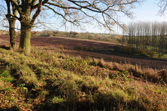
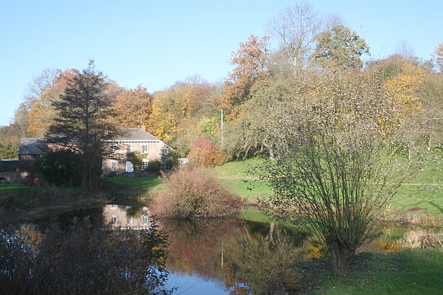
Church Spinney is a picturesque woodland located in the county of Herefordshire, England. Situated within the larger area known as the Forest of Dean, it covers a vast expanse of approximately 50 acres. The woodland is characterized by its dense tree cover, comprising mainly of oak, beech, and ash trees, which create a serene and tranquil atmosphere.
The name "Church Spinney" has historical significance, as it is believed to be derived from the nearby St. Mary's Church, which has stood in the area for centuries. The woodland itself has a long history, dating back to medieval times when it was used as a hunting ground for the local nobility.
Nowadays, Church Spinney is primarily a nature reserve, managed by the local council to preserve its biodiversity. The woodland is home to a wide array of plant and animal species, making it an important habitat for wildlife. Visitors to Church Spinney can expect to encounter various bird species, including woodpeckers and owls, as well as small mammals like squirrels and foxes.
The woodland offers a range of recreational activities for visitors to enjoy. There are well-maintained walking trails, allowing nature enthusiasts to explore the woodland and admire its natural beauty. Additionally, Church Spinney is a popular spot for picnics and family outings, providing a peaceful setting for relaxation and outdoor gatherings.
Church Spinney in Herefordshire is a true haven for nature lovers, offering a chance to immerse oneself in the beauty of the English countryside and witness the wonders of the Forest of Dean.
If you have any feedback on the listing, please let us know in the comments section below.
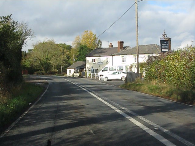
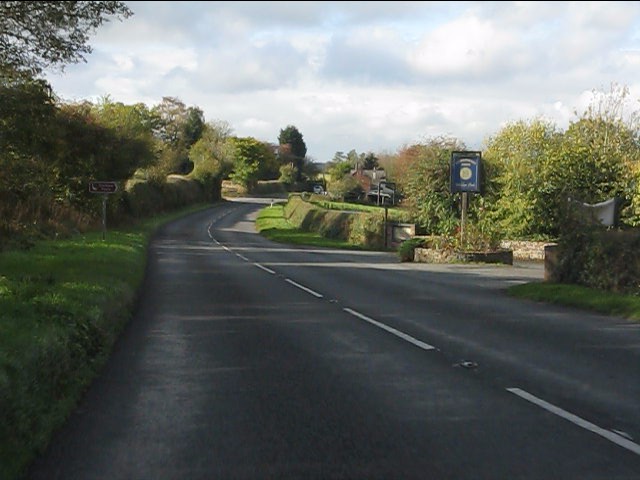
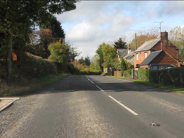
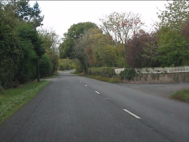
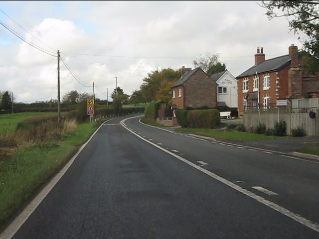
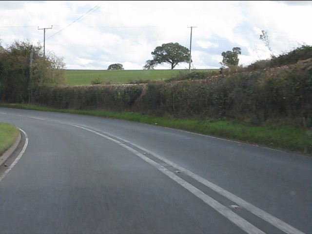
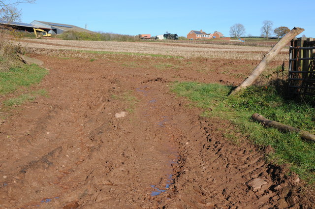
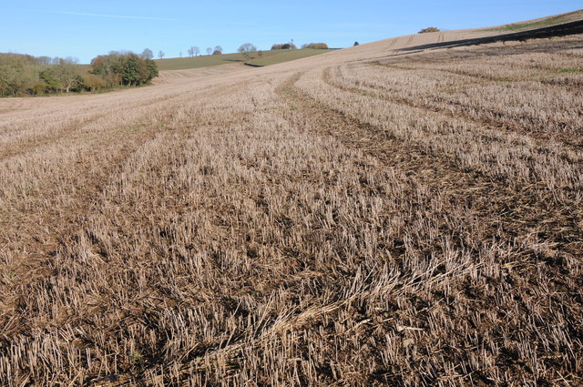
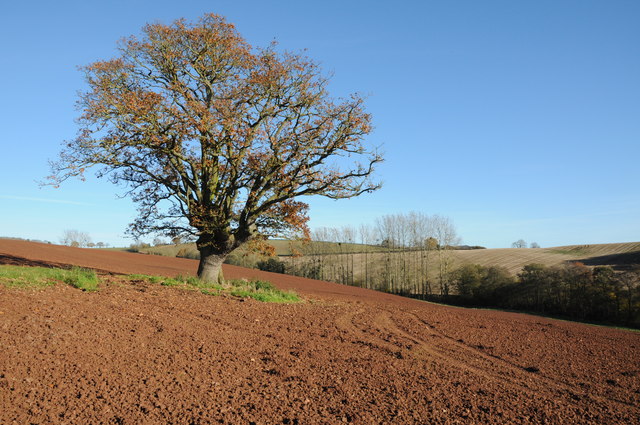
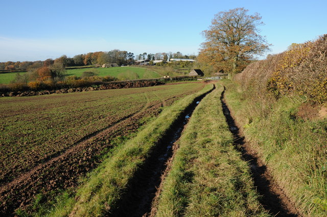
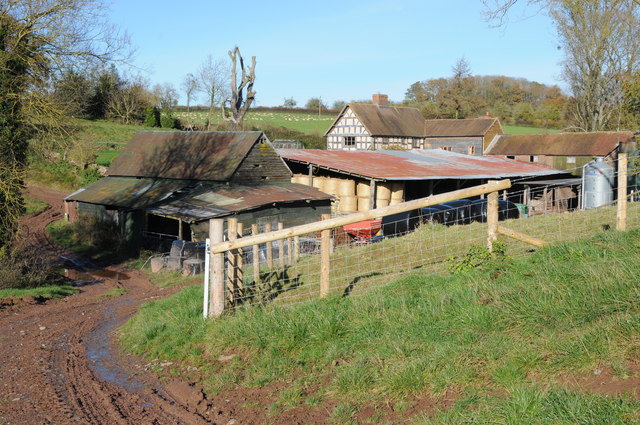
Church Spinney Images
Images are sourced within 2km of 52.21144/-2.6437877 or Grid Reference SO5657. Thanks to Geograph Open Source API. All images are credited.


Church Spinney is located at Grid Ref: SO5657 (Lat: 52.21144, Lng: -2.6437877)
Unitary Authority: County of Herefordshire
Police Authority: West Mercia
What 3 Words
///producing.football.loops. Near Humber, Herefordshire
Nearby Locations
Related Wikis

Docklow and Hampton Wafer
Docklow and Hampton Wafer (alternatively Docklow and Hampton Wafre), is a civil parish in the county of Herefordshire, England, and is 11 miles (18 km...

Steens Bridge railway station
Steens Bridge railway station was a station to the east of Stoke Prior, Herefordshire, England. The station was opened in 1884 and closed in 1952. ��2...
Risbury
Risbury is a village in the civil parish of Humber in Herefordshire, England, and 4 miles (6 km) south-east of Leominster. There used to be a Methodist...

Humber, Herefordshire
Humber is a hamlet and civil parish in the county of Herefordshire, England, and is 10 miles (16 km) north from the city and county town of Hereford. The...
Pudleston
Pudleston (or Pudlestone), is a small village and civil parish (alternatively Pudleston-cum-Whyle), in the county of Herefordshire, England, and is 13...
Blackwardine
Blackwardine is a village in Herefordshire, England (at grid reference SO529564), in the parish of Ford and Stoke Prior.It is the site of a Romano-British...

Grendon Bishop
Grendon Bishop is a civil parish in the county of Herefordshire, England. == History == According to A Dictionary of British Place Names Grendon derives...

Hatfield, Herefordshire
Hatfield is a village and former civil parish, now in the parish of Hatfield and Newhampton, in the county of Herefordshire, England. In 1961 the parish...
Nearby Amenities
Located within 500m of 52.21144,-2.6437877Have you been to Church Spinney?
Leave your review of Church Spinney below (or comments, questions and feedback).