Long Coppice
Wood, Forest in Dorset
England
Long Coppice
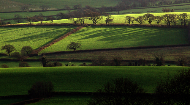
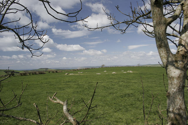
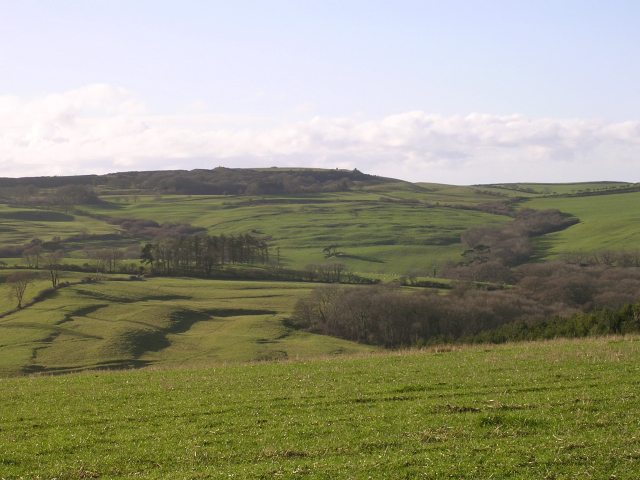
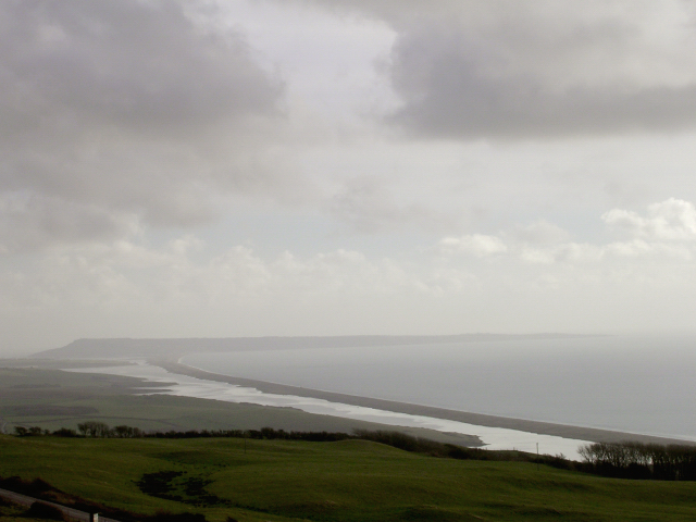
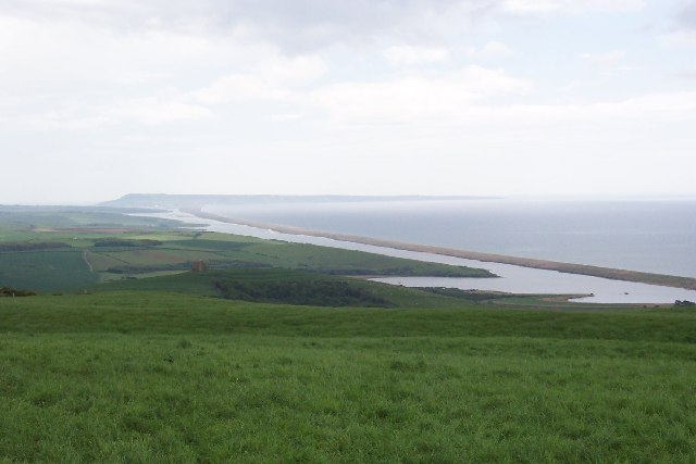
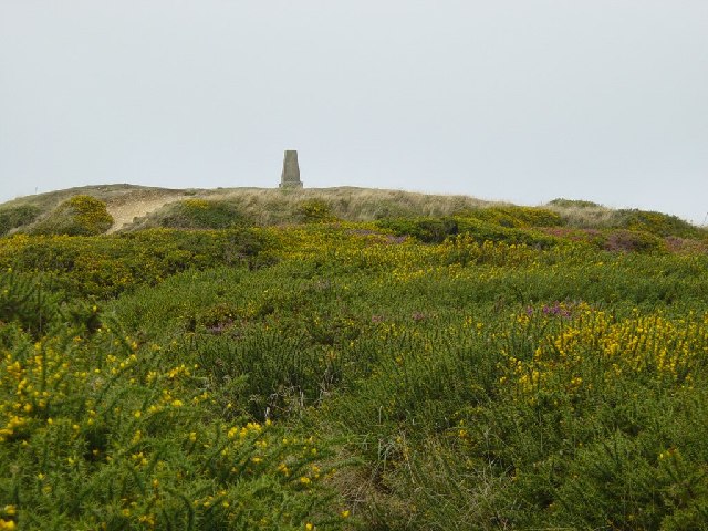
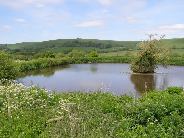
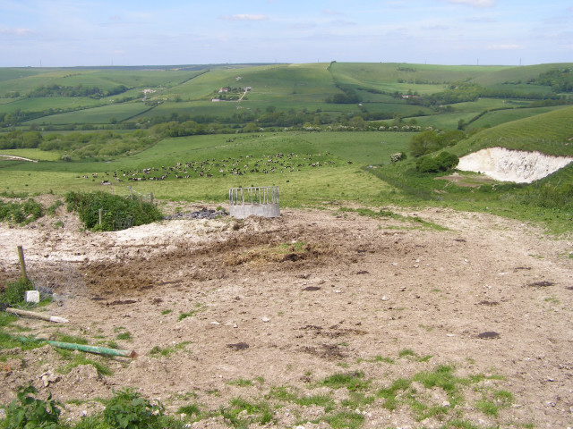
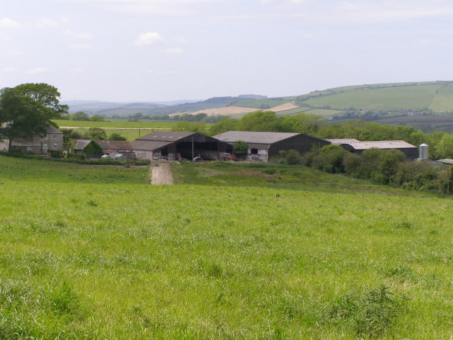
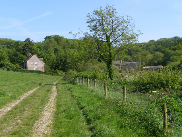
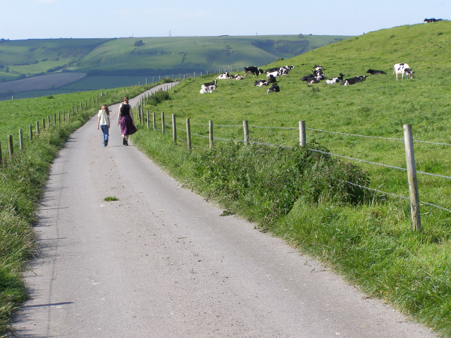
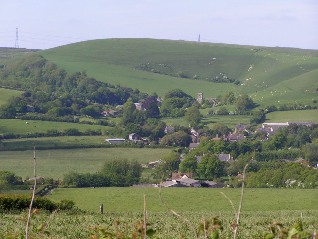
Long Coppice is a picturesque wood located in the county of Dorset, England. Stretching over an area of approximately 120 hectares, it is renowned for its stunning natural beauty and diverse wildlife. The wood is situated near the village of Sixpenny Handley, providing a peaceful and tranquil escape for nature enthusiasts and hikers alike.
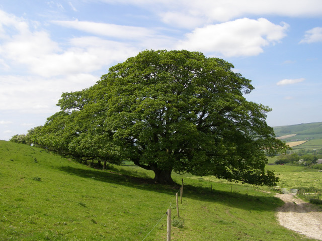
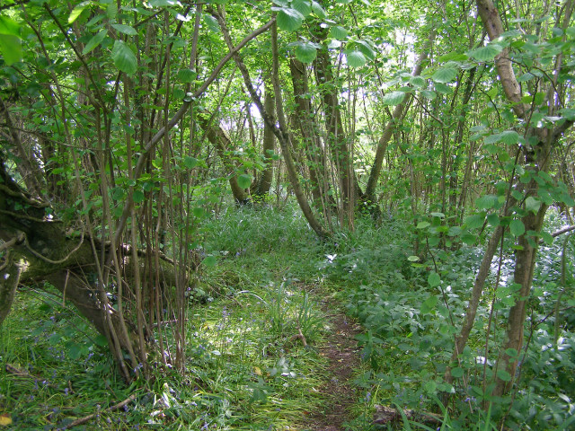
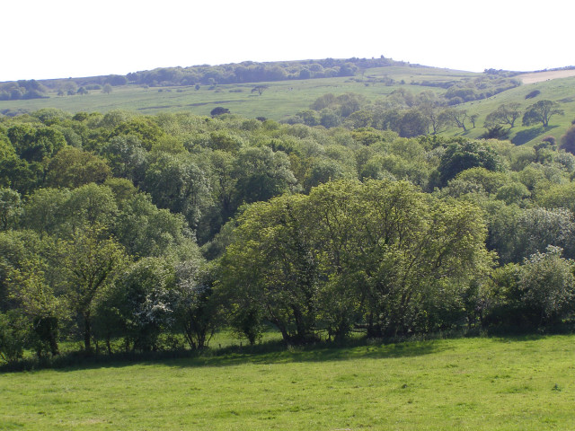
The woodland at Long Coppice is predominantly comprised of oak trees, interspersed with various other native species such as beech, ash, and hazel. The dense canopy created by these trees offers shade and shelter to a plethora of flora and fauna, making it an ideal habitat for a wide range of animal species.
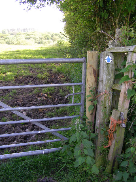
The wood is crisscrossed by a network of well-maintained footpaths, allowing visitors to explore and appreciate the natural wonders it has to offer. These paths lead through a mix of open glades, where wildflowers bloom in abundance during the spring and summer months, offering a colorful and vibrant display.
Long Coppice is also home to a rich variety of wildlife, including deer, foxes, badgers, and a wide array of bird species. Birdwatchers will be delighted to find species such as blue tits, great tits, and woodpeckers amongst others. The wood's tranquil atmosphere and diverse ecosystem make it a haven for wildlife enthusiasts and photographers.
Overall, Long Coppice in Dorset is a haven of natural beauty, offering visitors a chance to immerse themselves in the wonders of the British countryside. Whether it's a leisurely stroll, a nature walk, or a peaceful picnic, this wood provides an idyllic setting for all to enjoy.
If you have any feedback on the listing, please let us know in the comments section below.
Long Coppice Images
Images are sourced within 2km of 50.693618/-2.6243062 or Grid Reference SY5688. Thanks to Geograph Open Source API. All images are credited.
Long Coppice is located at Grid Ref: SY5688 (Lat: 50.693618, Lng: -2.6243062)
Unitary Authority: Dorset
Police Authority: Dorset
What 3 Words
///besotted.prancing.vines. Near Maiden Newton, Dorset
Nearby Locations
Related Wikis

Kingston Russell House
Kingston Russell House is a large mansion house and manor near Long Bredy in Dorset, England, west of Dorchester. The present house dates from the late...

Abbotsbury Castle
Abbotsbury Castle is an Iron Age hillfort in south west Dorset, England, situated on Wears Hill above the village of Abbotsbury, seven miles west of Dorchester...

Long Bredy
Long Bredy is a village and civil parish in the county of Dorset in south-west England, situated approximately 7 miles (11 km) west of the county town...

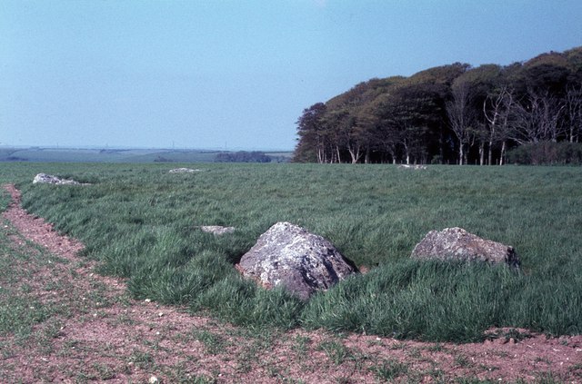
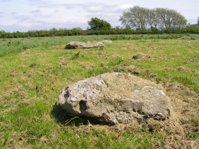
Kingston Russell Stone Circle
Kingston Russell Stone Circle, also known as the Gorwell Circle, is a stone circle located between the villages of Abbotsbury and Littlebredy in the south...
Litton Cheney
Litton Cheney is a village and civil parish in the county of Dorset in south-west England. It lies 9 miles (14 km) west of the county town Dorchester....

Puncknowle
Puncknowle ( PUN-əl) is a village and civil parish in the county of Dorset in southwest England, situated on the southern slopes of the Bride Valley approximately...
West Bexington
West Bexington is a village in south-west Dorset, England, sited just behind the Chesil Beach about 6 miles (10 km) southeast of Bridport. It forms part...
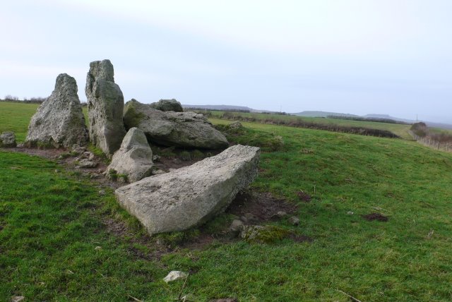
The Grey Mare and her Colts
The Grey Mare and her Colts is a megalithic chambered long barrow located near Abbotsbury in Dorset, England. It was built during the Early and Middle...
Nearby Amenities
Located within 500m of 50.693618,-2.6243062Have you been to Long Coppice?
Leave your review of Long Coppice below (or comments, questions and feedback).