Wash Dub Wood

Wood, Forest in Lancashire Lancaster

England

Wash Dub Wood

Farmland near Henridding With sheep grazing. Dalton Park Wood is in the background.
Farmland near Henridding Credit: Ian Taylor

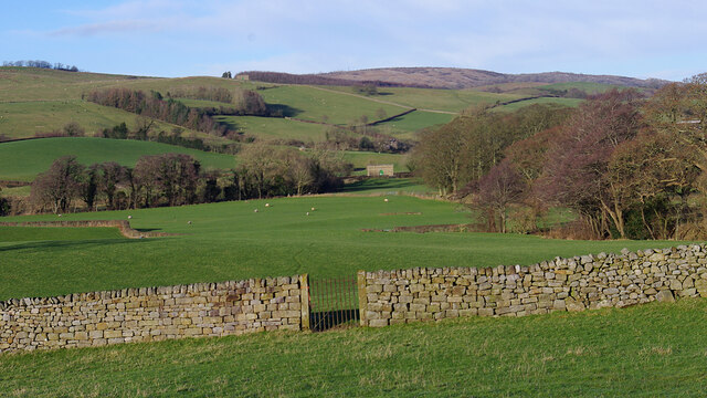
Wash Dub Wood is a picturesque woodland located in the county of Lancashire in North West England. Spanning an area of approximately 100 acres, it is situated in close proximity to the village of Wood, near the Forest of Bowland.

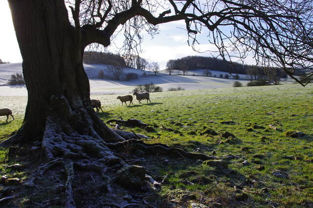
The woodland is characterized by its diverse and rich ecosystem, boasting a variety of trees including oak, birch, beech, and pine. These trees provide a dense canopy that offers shade and shelter for a wide range of plant and animal species. The forest floor is adorned with ferns, mosses, and wildflowers, creating a vibrant and enchanting atmosphere.

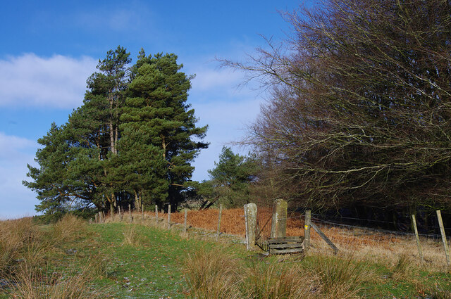
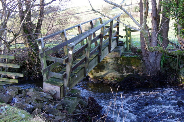
Wash Dub Wood is a popular destination for nature lovers and outdoor enthusiasts. It offers numerous walking trails, allowing visitors to explore the beauty of the woodland and witness its natural splendor firsthand. The paths wind through the trees, leading to hidden clearings and tranquil streams. The peaceful ambiance makes it an ideal spot for a leisurely stroll, picnics, or birdwatching.

The woodland is home to a variety of wildlife, including deer, squirrels, and a myriad of bird species such as owls, woodpeckers, and thrushes. The abundance of wildlife attracts nature enthusiasts and photographers, who flock to the area to capture the beauty and tranquility of Wash Dub Wood.

Overall, Wash Dub Wood is a captivating and serene woodland that offers a peaceful retreat from the hustle and bustle of everyday life. Its natural beauty, diverse ecosystem, and recreational opportunities make it a must-visit destination for anyone seeking a connection with nature in Lancashire.

If you have any feedback on the listing, please let us know in the comments section below.

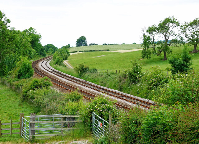
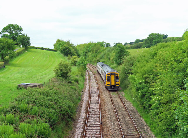
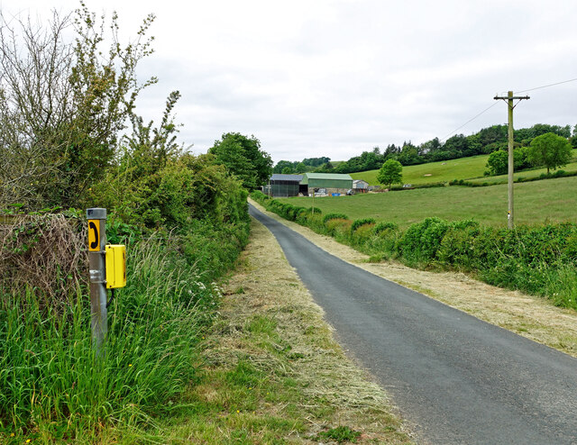
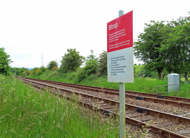
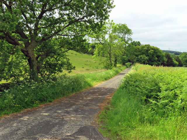
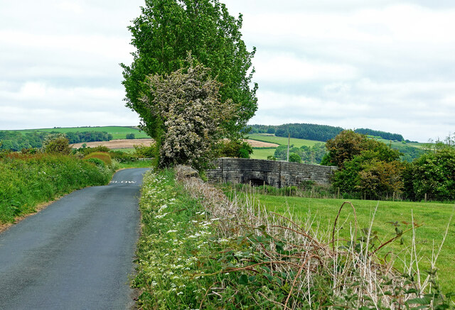
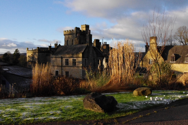
Wash Dub Wood Images

Images are sourced within 2km of 54.165329/-2.6757243 or Grid Reference SD5574. Thanks to Geograph Open Source API. All images are credited.

Farmland near Henridding With sheep grazing. Dalton Park Wood is in the background.
Farmland near Henridding
With sheep grazing. Dalton Park Wood is in the background.
Harry Wood After a little snowfall, probably on the previous evening.
Harry Wood
After a little snowfall, probably on the previous evening.
Farmland near Henridding With sheep grazing after a little snow. Harry Wood is in the background.
Farmland near Henridding
With sheep grazing after a little snow. Harry Wood is in the background.
New Close Coppice Pine trees on the eastern edge of the wood. The gate indicates the route of the Thirlmere Aqueduct. The aqueduct used to be inspected by foot, so gates were provided where the route crosses walls and fences.
New Close Coppice
Pine trees on the eastern edge of the wood. The gate indicates the route of the Thirlmere Aqueduct. The aqueduct used to be inspected by foot, so gates were provided where the route crosses walls and fences.
Old gateway above Keer Holme Only the stone gateposts remain. Ingleborough is in the far distance.
Old gateway above Keer Holme
Only the stone gateposts remain. Ingleborough is in the far distance.
Damaged footbridge, River Keer The bridge pier on the east side has collapsed.
Damaged footbridge, River Keer
The bridge pier on the east side has collapsed.
Farmland near Gunnerthwaite Grazing land in the Keer valley. The gate indicates the route of the Thirlmere Aqueduct. A valve house can be seen in the distance. The aqueduct used to be inspected by foot, so gates were provided where the route crosses walls and fences.
Farmland near Gunnerthwaite
Grazing land in the Keer valley. The gate indicates the route of the Thirlmere Aqueduct. A valve house can be seen in the distance. The aqueduct used to be inspected by foot, so gates were provided where the route crosses walls and fences.
Primroses in Harry Wood A lovely bank of spring flowers alongside the footpath in Harry Wood.
Primroses in Harry Wood
A lovely bank of spring flowers alongside the footpath in Harry Wood.
In Harry Wood Deciduous foliage was appearing on this mid-April visit with wild garlic underfoot.
In Harry Wood
Deciduous foliage was appearing on this mid-April visit with wild garlic underfoot.
Dalton Crags Car Park The starting point for a range of interesting walks through limestone country.
Dalton Crags Car Park
The starting point for a range of interesting walks through limestone country.
A track on Dalton Crags Some limestone rock is showing on the track.
A track on Dalton Crags
Some limestone rock is showing on the track.
Dalton Crag woodland A blink of sunshine on an otherwise dull morning in this limestone country.
Dalton Crag woodland
A blink of sunshine on an otherwise dull morning in this limestone country.
The Morecambe line This quiet railway line joins the Settle-Carlisle line at Giggleswick. Viewed from Starricks Farm road on a disappointingly dull June morning.
The Morecambe line
This quiet railway line joins the Settle-Carlisle line at Giggleswick. Viewed from Starricks Farm road on a disappointingly dull June morning.
Railway view at Keer Holme DMU 158855 on the Morecambe Line in the Keer Valley.
Railway view at Keer Holme
DMU 158855 on the Morecambe Line in the Keer Valley.
Keer Holme view Viewed from the crossing point on the Morecambe railway line in disappointing June weather.
Keer Holme view
Viewed from the crossing point on the Morecambe railway line in disappointing June weather.
Railway crossing point A public footpath crosses the Morecambe line here.
Railway crossing point
A public footpath crosses the Morecambe line here.
Towards Gunnerthwaite A farm access road in the Keer Valley.
Towards Gunnerthwaite
A farm access road in the Keer Valley.
Railway bridge near Docker Park This bridge takes the road across the Morecambe line.
Railway bridge near Docker Park
This bridge takes the road across the Morecambe line.
Show me another place!

Wash Dub Wood is located at Grid Ref: SD5574 (Lat: 54.165329, Lng: -2.6757243)

Administrative County: Lancashire

District: Lancaster

Police Authority: Lancashire

What 3 Words

///investor.stated.blunders. Near Warton, Lancashire

Related Wikis

Docker, Lancashire

Docker is a hamlet in the civil parish of Whittington, Lancashire, England. It is in the City of Lancaster district, north of Arkholme and south west of...

Dalton Hall, Cumbria

Dalton Hall is a country house near Burton-in-Kendal in northern England. The hall lies within the county palatine of Lancaster, while Burton lies in the...

Dalton, Cumbria

Dalton is a hamlet and former civil parish, now in the parish of Burton-in-Kendal, in the Westmorland and Furness district, Cumbria, England. Until 1894...

Capernwray Missionary Fellowship of Torchbearers

The Capernwray Missionary Fellowship of Torchbearers (CMFOT), is an evangelical Christian educational organisation based at Capernwray Hall in north Lancashire...

Nearby Amenities

Located within 500m of 54.165329,-2.6757243
Power: tower
Lat/Long: 54.1645068/-2.6720062
Power: tower
Lat/Long: 54.161714/-2.6739744
Power: tower
Lat/Long: 54.1673772/-2.6700106
The data included in this document is from www.openstreetmap.org. The data is made available under ODbL.

Have you been to Wash Dub Wood?

Leave your review of Wash Dub Wood below (or comments, questions and feedback).