Westwood Withy Bed

Wood, Forest in Dorset

England

Westwood Withy Bed

Ambulance Trapped in Floods at Powerstock Common This shows an ambulance trapped under the old railway bridge on the former Bridport branch line from Maiden Newton. The car on the other side had just arrived to render assistance to the two paramedics in the ambulance. A recovery vehicle had been summoned to pull the ambulance out but it had not yet arrived.
Ambulance Trapped in Floods at Powerstock Common Credit: Nigel Mykura

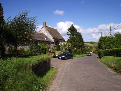
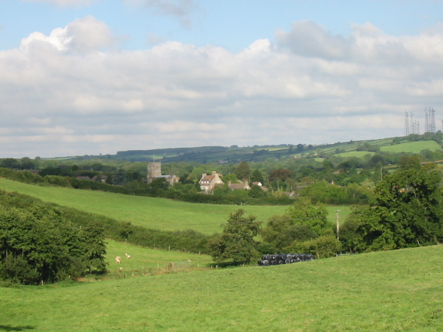
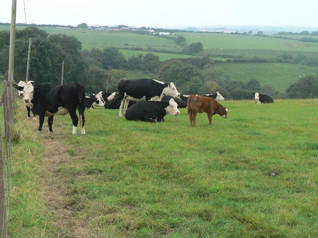
Westwood Withy Bed is a small woodland area located in Dorset, England. Covering an area of approximately 20 hectares, it is known for its beautiful and diverse range of trees and wildlife. The woodland is predominantly made up of broadleaf trees, including oak, beech, and ash, which create a dense and lush canopy during the summer months.

The forest floor is covered with a variety of plant species such as bluebells, wood anemones, and wild garlic, creating a vibrant and colorful carpet. This, combined with the peaceful atmosphere, makes Westwood Withy Bed a popular destination for nature lovers, hikers, and photographers.

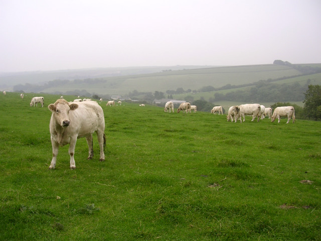
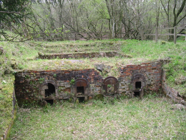
The woodland is home to a wide range of wildlife, including deer, badgers, foxes, and a variety of bird species. Birdwatchers can spot woodpeckers, owls, and various migratory birds throughout the year. The presence of such diverse fauna and flora makes Westwood Withy Bed an important habitat for conservation and biodiversity.

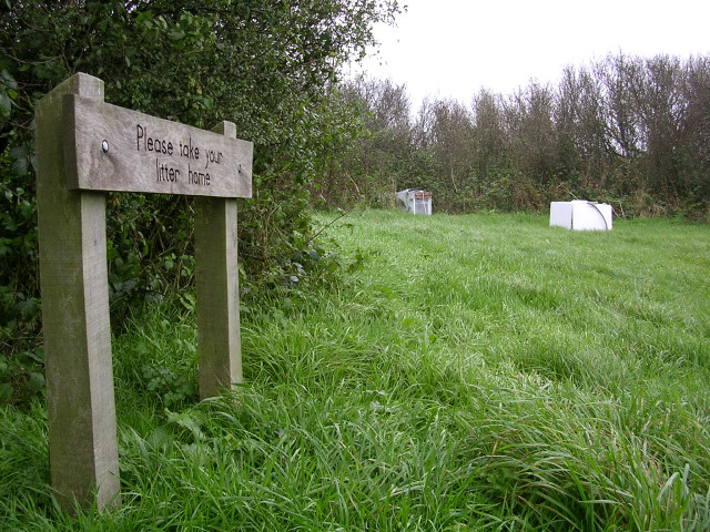
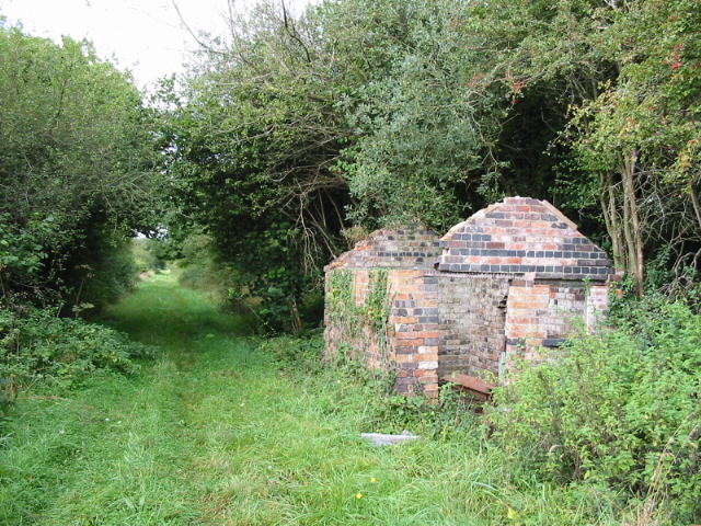
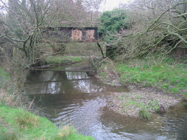
The woodland is crisscrossed with several footpaths and trails, providing visitors with the opportunity to explore and appreciate the natural beauty of the area. There are also picnic areas and benches scattered throughout, allowing visitors to relax and enjoy the tranquil surroundings.

Westwood Withy Bed is open to the public all year round and is managed by the local conservation authority. It is easily accessible by car or public transportation, with parking facilities available nearby. Whether you are looking for a peaceful retreat, a place to explore nature, or simply a scenic spot for a picnic, Westwood Withy Bed offers a delightful experience for all.

If you have any feedback on the listing, please let us know in the comments section below.

Westwood Withy Bed Images

Images are sourced within 2km of 50.763998/-2.625583 or Grid Reference SY5596. Thanks to Geograph Open Source API. All images are credited.

Ambulance Trapped in Floods at Powerstock Common This shows an ambulance trapped under the old railway bridge on the former Bridport branch line from Maiden Newton. The car on the other side had just arrived to render assistance to the two paramedics in the ambulance. A recovery vehicle had been summoned to pull the ambulance out but it had not yet arrived.
Ambulance Trapped in Floods at Powerstock Common
This shows an ambulance trapped under the old railway bridge on the former Bridport branch line from Maiden Newton. The car on the other side had just arrived to render assistance to the two paramedics in the ambulance. A recovery vehicle had been summoned to pull the ambulance out but it had not yet arrived.
Ambulance Stuck in Floods at Powerstock Common (2) This shows the ambulance shortly after it had got stuck under the old railway bridge on the former branch line from Maiden Newton to Bridport. This bridge frequently floods but this is the worst I have seen there.
Ambulance Stuck in Floods at Powerstock Common (2)
This shows the ambulance shortly after it had got stuck under the old railway bridge on the former branch line from Maiden Newton to Bridport. This bridge frequently floods but this is the worst I have seen there.
View from Shatcombe Lane towards Eggardon Hill Farm Looking southeast from Shatcombe Lane, with Eggardon Hill Farm in the valley below. According to the map this field has 'celtic field systems' i.e. the earthwork remains of Bronze Age farming. Now it is home to some white bullocks.
View from Shatcombe Lane towards Eggardon Hill Farm
Looking southeast from Shatcombe Lane, with Eggardon Hill Farm in the valley below. According to the map this field has 'celtic field systems' i.e. the earthwork remains of Bronze Age farming. Now it is home to some white bullocks.
Road junction and signpost on Eggardon Hill This junction marks the higher end of Shatcombe Lane. The Eggardon Hill trig point can be seen on the horizon, left of centre. The top of the directional signpost features the number "548948" which I only later realised was the OS grid reference for this sign.
Road junction and signpost on Eggardon Hill
This junction marks the higher end of Shatcombe Lane. The Eggardon Hill trig point can be seen on the horizon, left of centre. The top of the directional signpost features the number "548948" which I only later realised was the OS grid reference for this sign.
Flytipping at Shatcombe Lane picnic Area, Eggardon Hill A nearby sign (not pictured) asks visitors to PLEASE LEAVE THIS AREA AS YOU WOULD HOPE TO FIND IT. Someone obviously hoped to find it containing a broken fridge and washing machine. Why bring it up here to the top of a remote Dorset hill?
Flytipping at Shatcombe Lane picnic Area, Eggardon Hill
A nearby sign (not pictured) asks visitors to PLEASE LEAVE THIS AREA AS YOU WOULD HOPE TO FIND IT. Someone obviously hoped to find it containing a broken fridge and washing machine. Why bring it up here to the top of a remote Dorset hill?
The church of St Andrew and St Peter - Toller Porcorum For more information check here :-
<span class="nowrap"><a title="http://toller.porcorum.googlepages.com/more" rel="nofollow ugc noopener" href="http://toller.porcorum.googlepages.com/more">Link</a><img style="margin-left:2px;" alt="External link" title="External link - shift click to open in new window" src="https://s1.geograph.org.uk/img/external.png" width="10" height="10"/></span>
The church of St Andrew and St Peter - Toller Porcorum
For more information check here :- LinkExternal link
Barton Farm - Toller Porcorum
Old brick kiln, Powerstock Common
Locally themed parking sign in Toller Porcorum The village name "Toller Porcorum" literally translates as Valley of the Pigs. Presumably that explains why this home-made car park direction sign next to the parish church has a carved pig on top of it.
Locally themed parking sign in Toller Porcorum
The village name "Toller Porcorum" literally translates as Valley of the Pigs. Presumably that explains why this home-made car park direction sign next to the parish church has a carved pig on top of it.
Course of disused railway and building between Toller and Powerstock on Maiden Newton to Bridport branch line, which closed in 1975
Course of disused railway and building
between Toller and Powerstock on Maiden Newton to Bridport branch line, which closed in 1975
Farmland and church, Toller Porcorum
Disused railway bridge and River Hooke East of Toller on the Maiden Newton to Bridport branch line, which closed in 1975.
Disused railway bridge and River Hooke
East of Toller on the Maiden Newton to Bridport branch line, which closed in 1975.
West Compton: parish church of St. Michael Although the village is immediately west of Compton Valence, the name West Compton actually refers to Compton Abbas, some 20 miles away – to which parish it was originally a detachment.
West Compton: parish church of St. Michael
Although the village is immediately west of Compton Valence, the name West Compton actually refers to Compton Abbas, some 20 miles away – to which parish it was originally a detachment.
House on the road southwest of Wynford Eagle
Derelict Cottages west of Toller Porcorum
Toller Porcorum: parish church of St. Peter & St. Andrew Toller Porcorum translates from Latin as 'the valley of the pigs'.
Toller Porcorum: parish church of St. Peter & St. Andrew
Toller Porcorum translates from Latin as 'the valley of the pigs'.
Toller Porcorum: Barrowland Lane This lane goes straight down the western edge of this gridsquare, and the picture looks north right from where it enters the next square west.

The Rampisham radio masts can be seen in the background, as they can from many vantage points in this area.
Toller Porcorum: Barrowland Lane
This lane goes straight down the western edge of this gridsquare, and the picture looks north right from where it enters the next square west. The Rampisham radio masts can be seen in the background, as they can from many vantage points in this area.
Toller Porcorum: cows at Woolcombe Farm The calf does not match the colour of the adults.
Toller Porcorum: cows at Woolcombe Farm
The calf does not match the colour of the adults.
Show me another place!

Westwood Withy Bed is located at Grid Ref: SY5596 (Lat: 50.763998, Lng: -2.625583)

Unitary Authority: Dorset

Police Authority: Dorset

What 3 Words

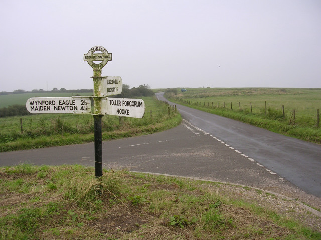
///resold.outer.shuttled. Near Maiden Newton, Dorset

Related Wikis

Toller railway station

Toller was a railway station on the Bridport Railway in the west of the English county of Dorset. The station served the village of Toller Porcorum. Opened...

Toller Porcorum

Toller Porcorum () is a village and civil parish in Dorset, England, situated in the Toller valley 10 miles (16 km) northwest of Dorchester. In the 2011...

West Compton, Dorset

West Compton is a hamlet and civil parish in the county of Dorset, England. It lies in western Dorset, about 7 miles to the east of the town of Bridport...

Wynford Eagle

Wynford Eagle is a hamlet and small parish in Dorset, England, situated approximately 1.5 miles (2.4 km) southwest of Maiden Newton and 7.5 miles (12.1...

Have you been to Westwood Withy Bed?

Leave your review of Westwood Withy Bed below (or comments, questions and feedback).