Chapel Coppice
Wood, Forest in Dorset
England
Chapel Coppice
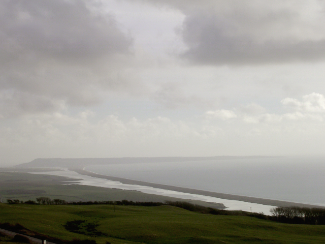
Chapel Coppice is a picturesque woodland located in the county of Dorset, England. Covering an area of approximately X hectares, it is a captivating destination for nature lovers and outdoor enthusiasts alike.
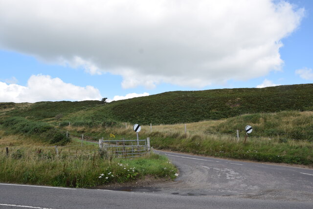
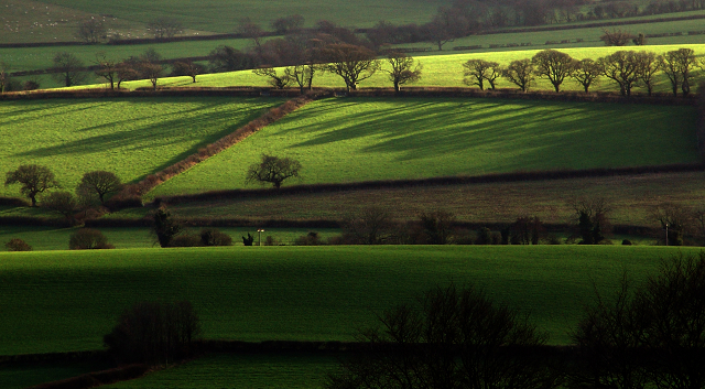
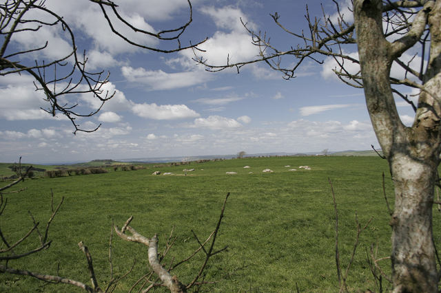
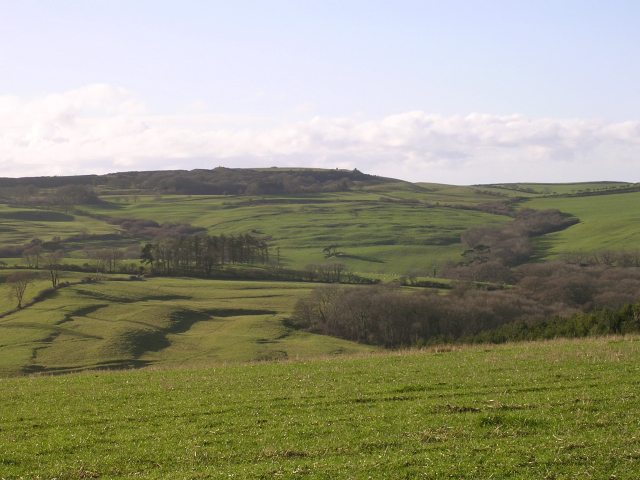
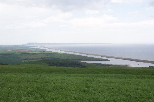
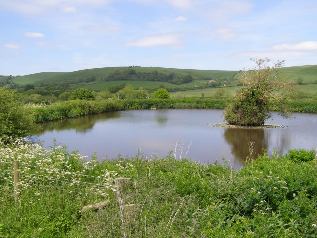
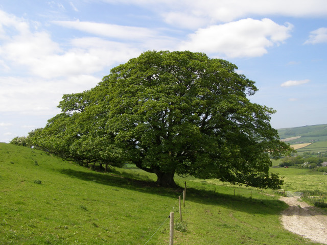
The coppice, which refers to a managed woodland where trees are periodically cut back to stumps to promote regrowth, is home to a diverse range of flora and fauna. Tall and majestic oak trees dominate the landscape, their branches reaching towards the sky, while beech, ash, and hazel trees provide a lush understory. The forest floor is carpeted with a variety of wildflowers, including bluebells, primroses, and wood anemones, creating a vibrant and colorful display during the spring months.
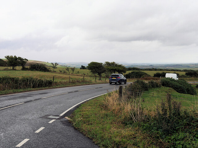
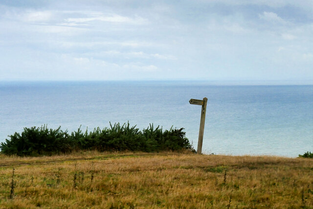
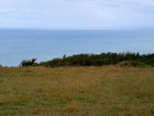
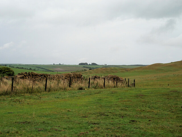
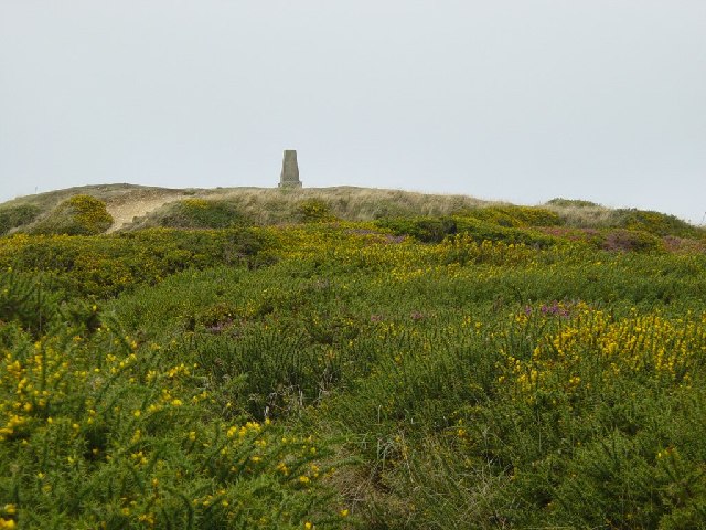
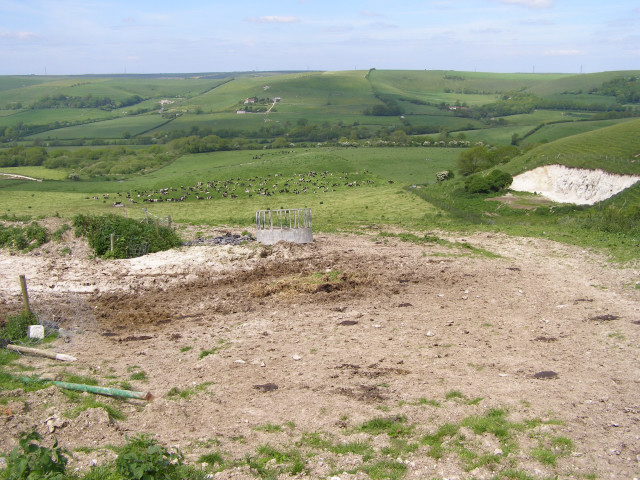
As visitors explore Chapel Coppice, they will encounter a network of well-maintained footpaths and trails, allowing for leisurely walks or more challenging hikes. The tranquil ambiance of the woodland provides an ideal setting for birdwatching, with species such as woodpeckers, nuthatches, and warblers frequently sighted.
The woodland is also home to a diverse array of wildlife. Roe deer can often be spotted gracefully bounding through the trees, while squirrels scurry along the branches, collecting acorns and nuts. Badgers, foxes, and rabbits are also known to inhabit the area, adding to the rich biodiversity of Chapel Coppice.
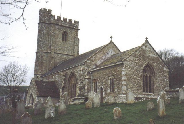
In addition to its natural beauty, Chapel Coppice boasts historical significance. The remains of an ancient chapel, dating back to the medieval period, can be found within the woodland. This historical site provides a glimpse into the area's past, captivating visitors with its centuries-old architecture.
Overall, Chapel Coppice in Dorset offers a captivating blend of natural beauty, diverse wildlife, and historical intrigue, making it a must-visit destination for nature enthusiasts and history buffs alike.
If you have any feedback on the listing, please let us know in the comments section below.
Chapel Coppice Images
Images are sourced within 2km of 50.689051/-2.6257461 or Grid Reference SY5587. Thanks to Geograph Open Source API. All images are credited.
Chapel Coppice is located at Grid Ref: SY5587 (Lat: 50.689051, Lng: -2.6257461)
Unitary Authority: Dorset
Police Authority: Dorset
What 3 Words
///revolts.potato.executive. Near Bridport, Dorset
Nearby Locations
Related Wikis

Abbotsbury Castle
Abbotsbury Castle is an Iron Age hillfort in south west Dorset, England, situated on Wears Hill above the village of Abbotsbury, seven miles west of Dorchester...

Kingston Russell Stone Circle
Kingston Russell Stone Circle, also known as the Gorwell Circle, is a stone circle located between the villages of Abbotsbury and Littlebredy in the south...

Kingston Russell House
Kingston Russell House is a large mansion house and manor near Long Bredy in Dorset, England, west of Dorchester. The present house dates from the late...
West Bexington
West Bexington is a village in south-west Dorset, England, sited just behind the Chesil Beach about 6 miles (10 km) southeast of Bridport. It forms part...

Long Bredy
Long Bredy is a village and civil parish in the county of Dorset in south-west England, situated approximately 7 miles (11 km) west of the county town...

Puncknowle
Puncknowle ( PUN-əl) is a village and civil parish in the county of Dorset in southwest England, situated on the southern slopes of the Bride Valley approximately...
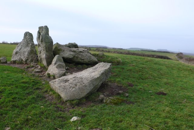
The Grey Mare and her Colts
The Grey Mare and her Colts is a megalithic chambered long barrow located near Abbotsbury in Dorset, England. It was built during the Early and Middle...
Litton Cheney
Litton Cheney is a village and civil parish in the county of Dorset in south-west England. It lies 9 miles (14 km) west of the county town Dorchester....
Nearby Amenities
Located within 500m of 50.689051,-2.6257461Have you been to Chapel Coppice?
Leave your review of Chapel Coppice below (or comments, questions and feedback).