Ashington Wood

Wood, Forest in Somerset South Somerset

England

Ashington Wood

The Half Moon Inn
The Half Moon Inn Credit: David Lally

Ashington Wood is a small woodland located in the county of Somerset, England. Situated near the village of Ashington, it covers an area of approximately 25 hectares. The woodland is predominantly made up of diverse deciduous species, including oak, beech, and ash trees. It forms part of a larger forested area known as the Ashington Forest.

The wood is managed by the local council and is open to the public throughout the year. It offers a peaceful and natural environment for visitors to explore and enjoy. Several well-maintained footpaths and trails wind through the woodland, providing opportunities for walking, jogging, and wildlife observation.

Ashington Wood is home to a variety of flora and fauna, making it an important habitat for biodiversity. Bluebells carpet the forest floor in spring, creating a stunning display of color. The trees provide nesting sites for birds such as woodpeckers and owls, while the undergrowth attracts small mammals like squirrels and hedgehogs.

Nature enthusiasts can also find a diverse range of fungi in Ashington Wood, with some species being rare and protected. The woodland management practices prioritize conservation and sustainability, ensuring the long-term survival of the ecosystem.

Overall, Ashington Wood is a picturesque and ecologically valuable woodland, offering a tranquil escape for visitors and providing a vital habitat for numerous plant and animal species.

If you have any feedback on the listing, please let us know in the comments section below.

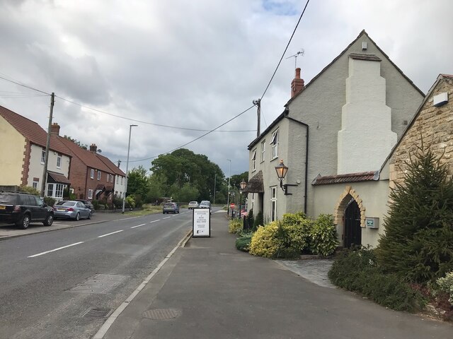
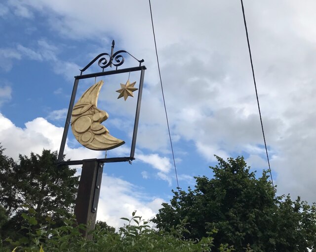
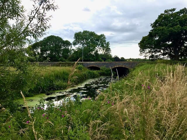
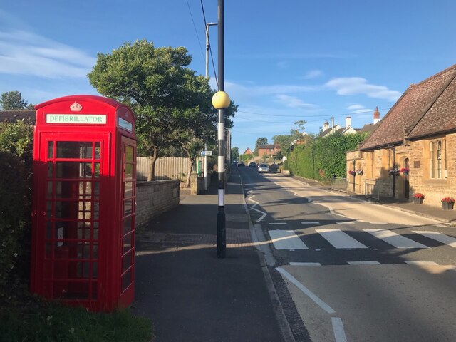
Ashington Wood Images

Images are sourced within 2km of 50.979605/-2.6318958 or Grid Reference ST5520. Thanks to Geograph Open Source API. All images are credited.

The Half Moon Inn
The Half Moon Inn
The sign of The Half Moon Inn See <a href="https://www.geograph.org.uk/photo/7272555">ST5719 : The Half Moon Inn</a>.  A bit different from the early 1980s <a href="https://www.geograph.org.uk/photo/4569903">ST5719 : The Half Moon Inn in Mudford</a>.
The sign of The Half Moon Inn
See ST5719 : The Half Moon Inn. A bit different from the early 1980s ST5719 : The Half Moon Inn in Mudford.
Mudford Bridge Looking upstream over the river.
Mudford Bridge
Looking upstream over the river.
The A359 in Mudford With a "defibrillatored" phone box.
The A359 in Mudford
With a "defibrillatored" phone box.
Hinton Farmhouse - Hinton Grade II listed early C18 farmhouse, substantially altered in the 1860s by Sir Arthur Blomfield for the Goodford family.
Hinton Farmhouse - Hinton
Grade II listed early C18 farmhouse, substantially altered in the 1860s by Sir Arthur Blomfield for the Goodford family.
The Old Farmhouse - West Mudford Grade II listed farmhouse. Early C18.
The Old Farmhouse - West Mudford
Grade II listed farmhouse. Early C18.
Church of St Vincent - Ashington
Church of St Vincent - Ashington (2)
Farmhouse, Draycott Farm - Draycott Grade II listed, late C18 with C19 modifications.
Farmhouse, Draycott Farm - Draycott
Grade II listed, late C18 with C19 modifications.
Ashington Wood Looking up-hill to the woods from just above the Keepers House.
Ashington Wood
Looking up-hill to the woods from just above the Keepers House.
Belfry of Church of St Vincent Ashington Detail of an unusual architectural feature.
Belfry of Church of St Vincent Ashington
Detail of an unusual architectural feature.
Ponds near Lower Oakley Farm A couple of swans and numerous ducks left the ponds before I could
include them in the picture despite my careful approach.
Ponds near Lower Oakley Farm
A couple of swans and numerous ducks left the ponds before I could include them in the picture despite my careful approach.
Cut & laid hedge A fairly unusual sight these days, a newly laid hedge.
Cut & laid hedge
A fairly unusual sight these days, a newly laid hedge.
Oakley Brook Taken looking upstream from a bridge carrying the bridleway
towards New Oakley Farm.
Oakley Brook
Taken looking upstream from a bridge carrying the bridleway towards New Oakley Farm.
Thornhill Lane (Track) A nice, wide, grassy drove at this point but it becomes rutted
and, after all the recent rain, very muddy about 500 metres north
towards the village.
Thornhill Lane (Track)
A nice, wide, grassy drove at this point but it becomes rutted and, after all the recent rain, very muddy about 500 metres north towards the village.
The Warren Unfortunately this plantation seems to be private property
and was well fenced and had locked gates. I saw several deer
entering the wood on the east side.
The Warren
Unfortunately this plantation seems to be private property and was well fenced and had locked gates. I saw several deer entering the wood on the east side.
Ashington, Somerset Little more than a hamlet, Ashington has a beautiful, yet simple church and charming scenes such as this, especially in Spring.
Ashington, Somerset
Little more than a hamlet, Ashington has a beautiful, yet simple church and charming scenes such as this, especially in Spring.
Ashington, Somerset There is a duck pond to the left of the photo, somewhat in shadow.
Ashington, Somerset
There is a duck pond to the left of the photo, somewhat in shadow.
Show me another place!

Ashington Wood is located at Grid Ref: ST5520 (Lat: 50.979605, Lng: -2.6318958)

Administrative County: Somerset

District: South Somerset

Police Authority: Avon and Somerset

What 3 Words

///awestruck.ruffle.drilled. Near Yeovil, Somerset

Related Wikis

Mudford Manor

Mudford Manor is a historic 17th century Jacobean manor house situated on the Dorset/Somerset border in Mudford, Yeovil. The estate is surrounded by wild...

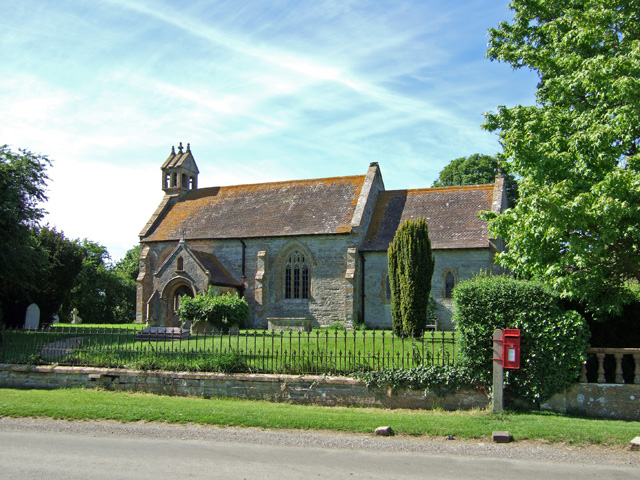
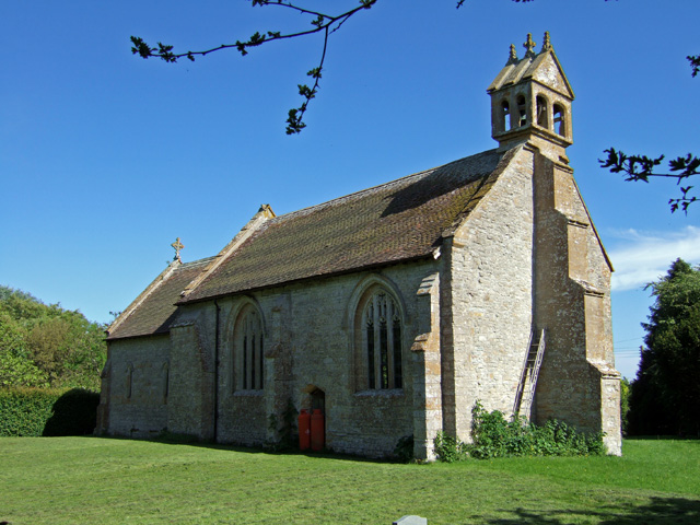
St Vincent's Church, Ashington

The Anglican Church of St Vincent at Ashington in the civil parish of Chilton Cantelo, Somerset, England, is from the 13th century. It has been designated...

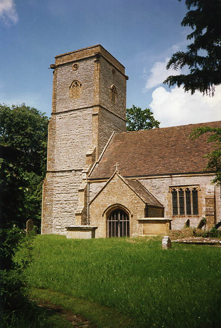
St Mary's Church, Mudford

The Church of St Mary in Mudford, Somerset, England, dates from the 14th century and has been designated as a Grade I listed building.The church was granted...

Mudford

Mudford is a village and parish in Somerset, England, situated 3 miles (4.8 km) from Yeovil in the South Somerset district on the River Yeo. The village...

All Saints' Church, Yeovil Marsh

All Saints Church is a Church of England church in Yeovil Marsh, Somerset, England. It was designed by Charles Benson and built at the expense of George...

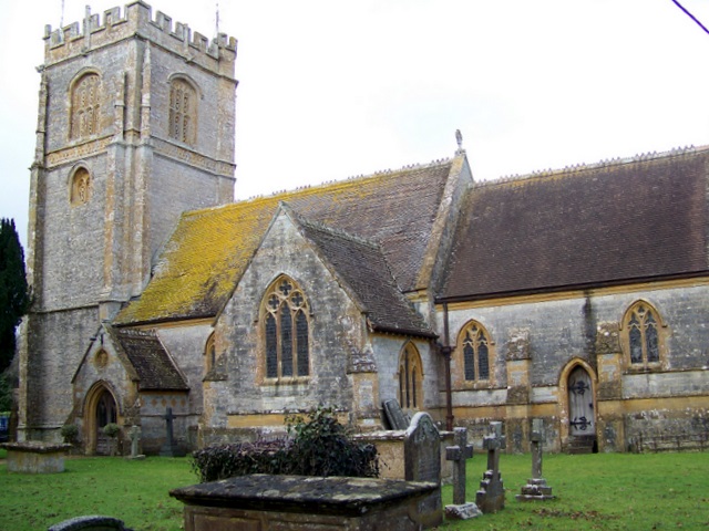
Church of St James, Chilton Cantelo

The Anglican Church of St James in Chilton Cantelo, Somerset, England was built in the 15th century. It is a Grade II* listed building. == History == The...

St Mary's Church, Limington

The Church of Saint Mary in Limington, Somerset, England dates from the late 14th century and includes fragments of an earlier building. It has been designated...

River Cam (Somerset)

The River Cam is a tributary of the River Yeo in the south of Somerset, England. The Cam rises east of Yarlington (51°00′06″N 2°38′11″W). It flows south...

Nearby Amenities

Located within 500m of 50.979605,-2.6318958
The data included in this document is from www.openstreetmap.org. The data is made available under ODbL.

Have you been to Ashington Wood?

Leave your review of Ashington Wood below (or comments, questions and feedback).