Babcary Copse
Wood, Forest in Somerset South Somerset
England
Babcary Copse
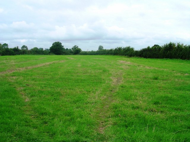
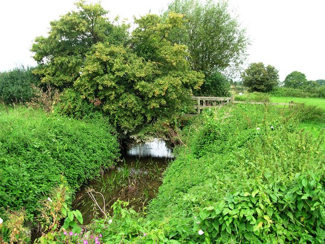
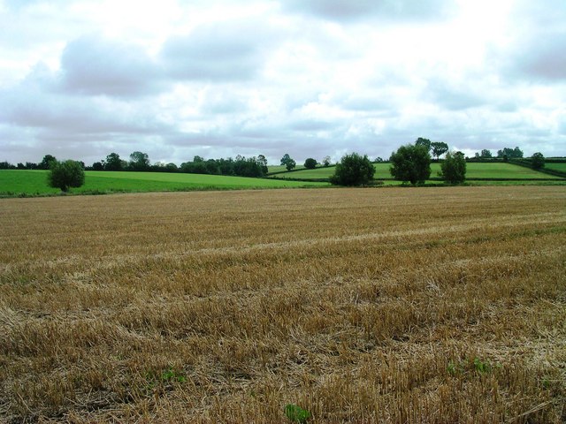
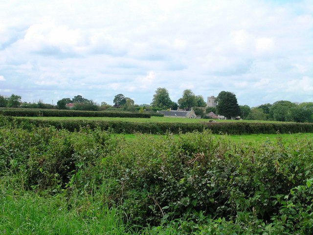
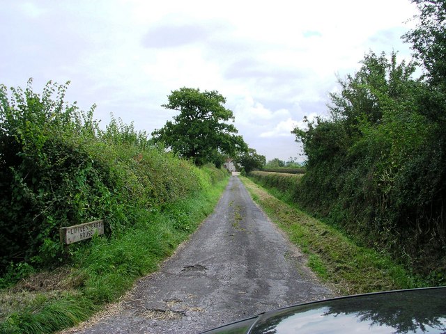
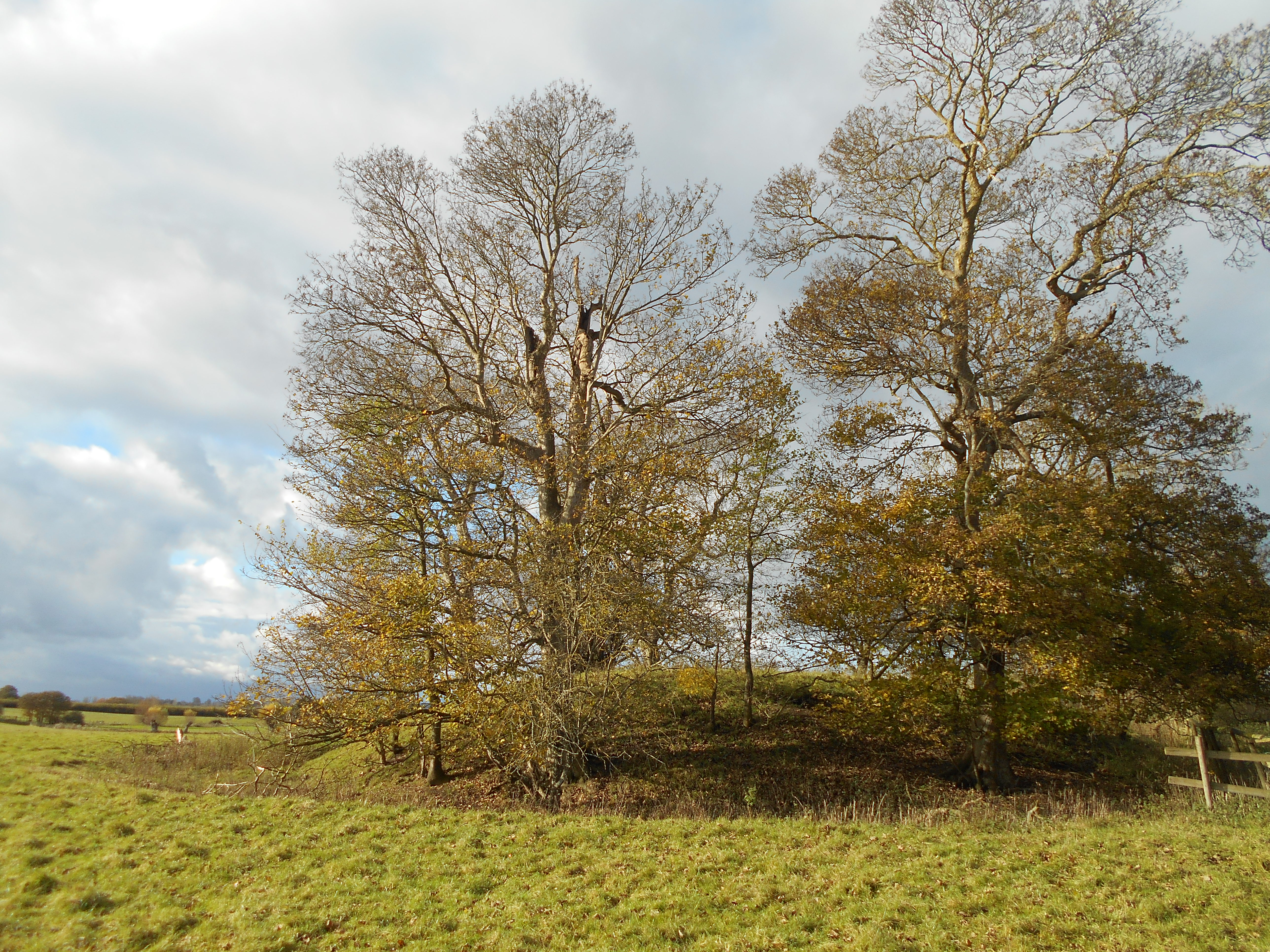
Babcary Copse is a picturesque woodland located in the county of Somerset, England. Situated near the village of Babcary, it covers an area of approximately 30 acres and is a popular destination for nature lovers and outdoor enthusiasts.
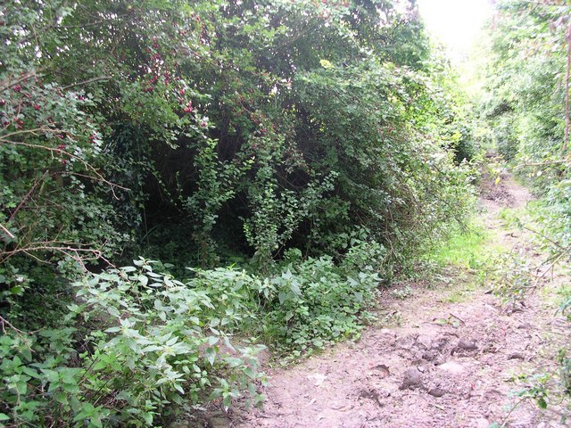
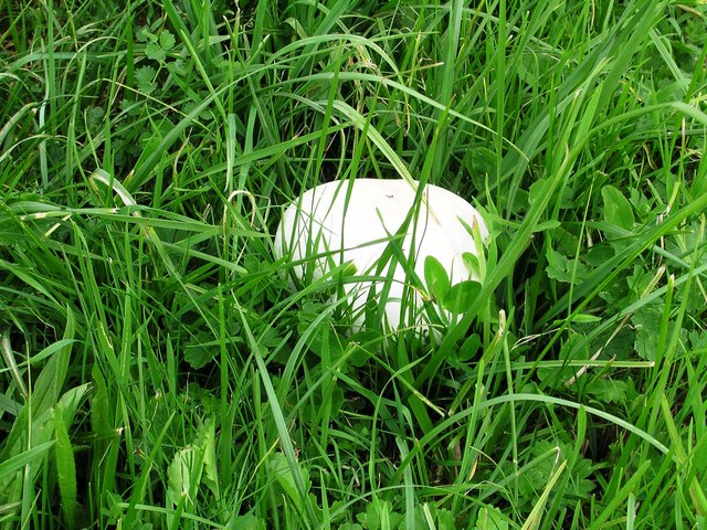
The copse is characterized by its dense and diverse vegetation, which includes a variety of trees such as oak, ash, birch, and beech. These trees form a lush canopy that provides shade and shelter for a wide range of flora and fauna. Bluebells, primroses, and wild garlic are just some of the wildflowers that bloom in abundance during the spring months, creating a vibrant and colorful landscape.
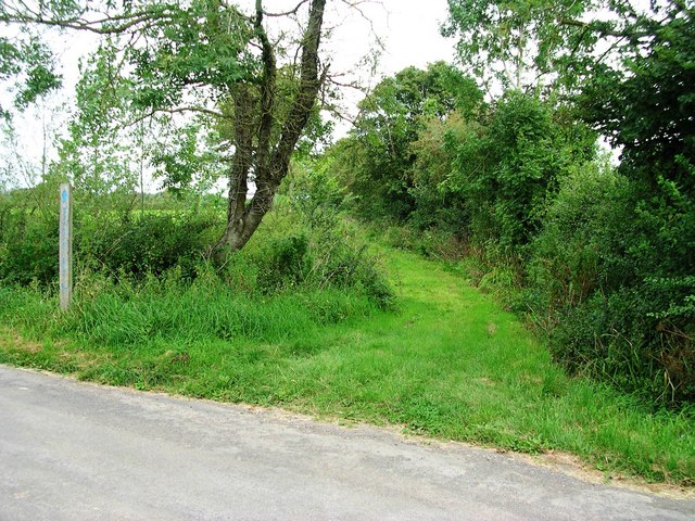
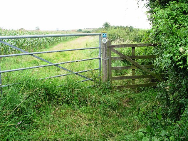
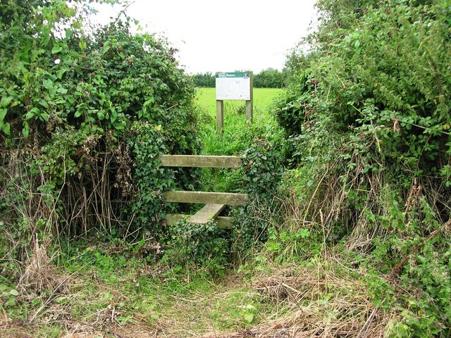
The woodland is crisscrossed by a network of footpaths and trails, allowing visitors to explore its hidden corners and discover its natural beauty. The peaceful atmosphere and tranquil surroundings make it an ideal spot for walking, jogging, or simply enjoying a leisurely stroll.
Babcary Copse is also home to a diverse array of wildlife. Deer, squirrels, and rabbits can often be spotted darting through the undergrowth, while numerous bird species, including woodpeckers and owls, can be heard and seen in the treetops. The copse provides a valuable habitat for these creatures and plays a vital role in supporting the local ecosystem.
Overall, Babcary Copse is a charming woodland that offers a peaceful escape from the hustle and bustle of everyday life. Its natural beauty, rich biodiversity, and tranquil atmosphere make it a must-visit destination for nature enthusiasts and those seeking a connection with the great outdoors.
If you have any feedback on the listing, please let us know in the comments section below.
Babcary Copse Images
Images are sourced within 2km of 51.053308/-2.6332126 or Grid Reference ST5528. Thanks to Geograph Open Source API. All images are credited.


Babcary Copse is located at Grid Ref: ST5528 (Lat: 51.053308, Lng: -2.6332126)
Administrative County: Somerset
District: South Somerset
Police Authority: Avon and Somerset
What 3 Words
///clumped.fury.upset. Near Ilchester, Somerset
Nearby Locations
Related Wikis
Wimble Toot
Wimble Toot is a burial mound or, possibly, a motte built near the village of Babcary, Somerset, England. It is a scheduled ancient monument with a list...

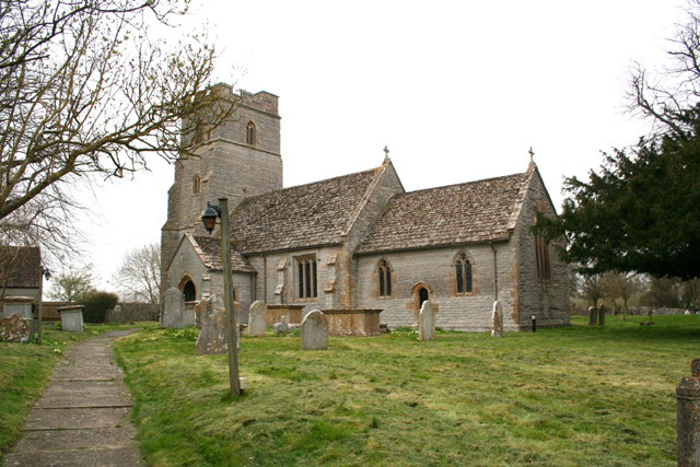
Church of the Holy Cross, Babcary
The Anglican Church of the Holy Cross in Babcary, Somerset, England, was built in the 14th century. It is a Grade II* listed building. == History == The...

Babcary
Babcary is a village and civil parish in Somerset, England, about 5 miles (8.0 km) east of Somerton and 6 miles (9.7 km) southwest of Castle Cary. The...

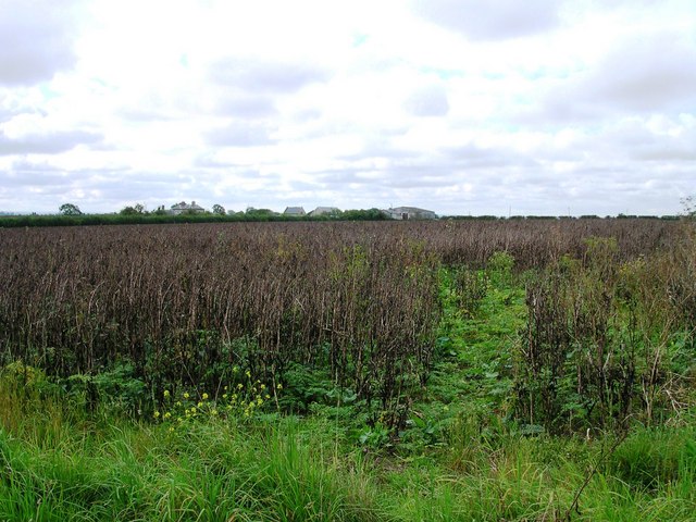
Babcary Meadows
Babcary Meadows (grid reference ST567293) is a 13.6 hectares (34 acres) biological Site of Special Scientific Interest north of Babcary in Somerset, notified...
The Abbey, Charlton Adam
The Abbey is a Grade I listed building in Somerset, England. Built on the site of a 12th-century chapel, which might be incorporated in fragments, the...

Church of St Peter and St Paul, Charlton Adam
The Church of St Peter and St Paul at Charlton Adam in the parish of Charlton Mackrell, Somerset, England has 14th-century origins, however most of the...
Lydford-on-Fosse
Lydford-on-Fosse is a village and civil parish in the Mendip district of Somerset, England. The parish includes the village of West Lydford and hamlet...

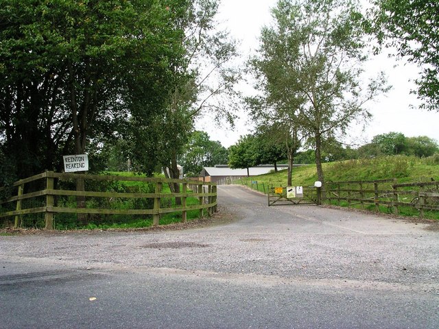
Keinton Mandeville
Keinton Mandeville, commonly referred to as Keinton, is a village and civil parish in Somerset, England, situated on top of Combe Hill, 6 miles (9.7 km...
Nearby Amenities
Located within 500m of 51.053308,-2.6332126Have you been to Babcary Copse?
Leave your review of Babcary Copse below (or comments, questions and feedback).