Coney Weston

Settlement in Suffolk West Suffolk

England

Coney Weston

Barningham: 'Imastar', Hepworth Road
Barningham: 'Imastar', Hepworth Road Credit: Michael Garlick

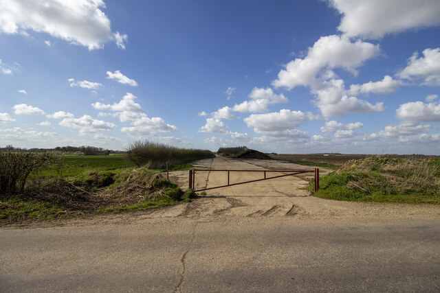
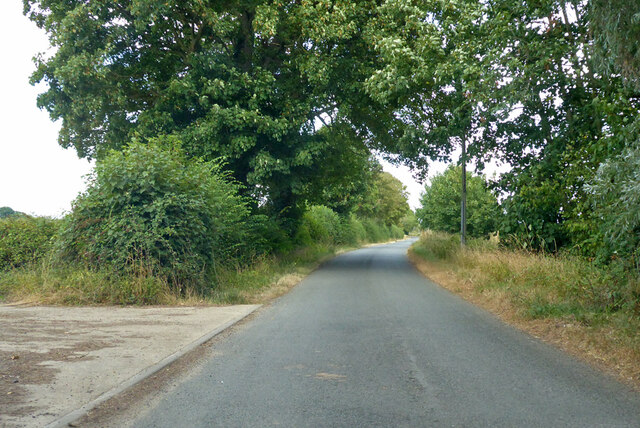
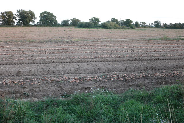
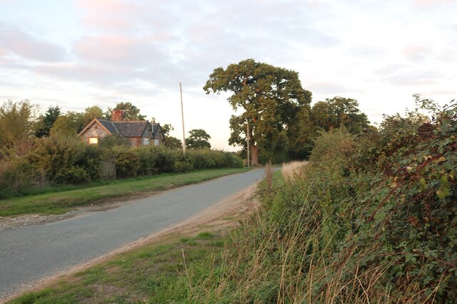
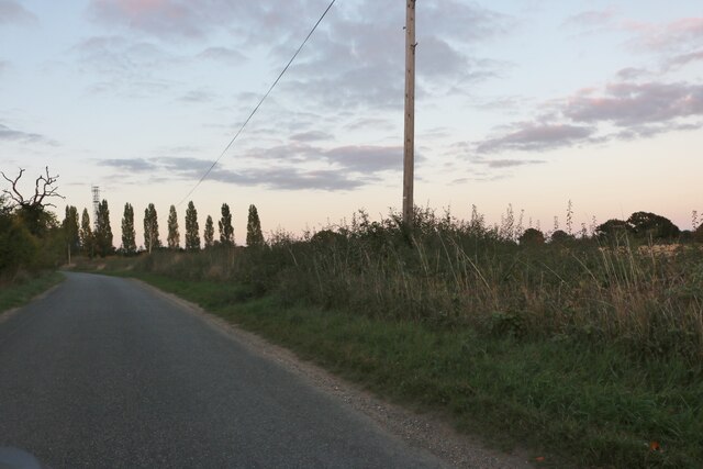
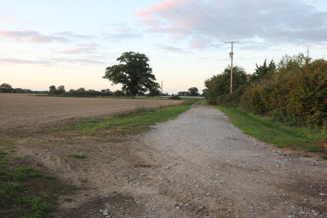
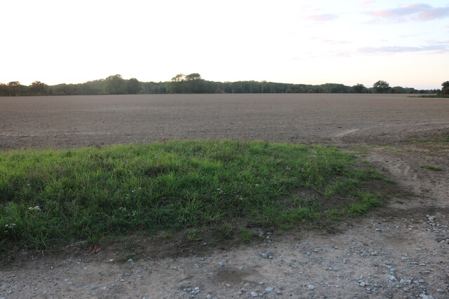
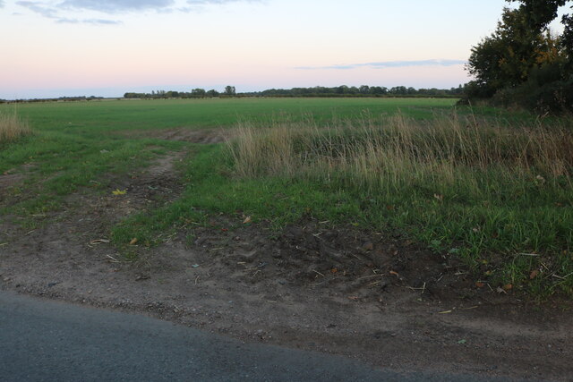
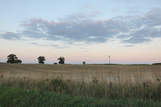
Coney Weston is a small village located in the county of Suffolk, England. Situated approximately 12 miles northeast of Bury St Edmunds, it falls within the district of West Suffolk. The village is nestled in a picturesque rural setting, surrounded by rolling countryside and farmland.

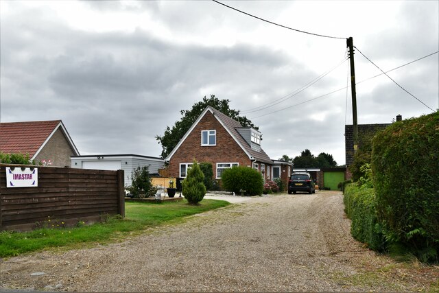
With a population of around 400 residents, Coney Weston maintains a close-knit community atmosphere. The village is characterized by its quaint charm and traditional English architecture, with a mix of old cottages and more modern houses. Its peaceful and idyllic surroundings make it an attractive place to live for those seeking a tranquil lifestyle.

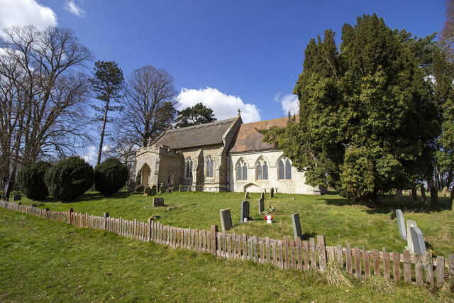
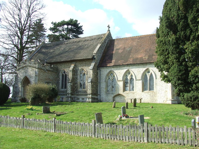
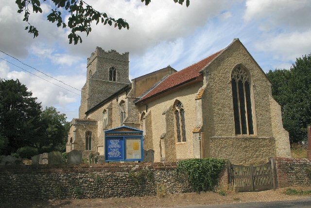
Coney Weston is also home to the Grade II listed St. Mary's Church, which dates back to the 14th century. The church is a prominent feature in the village and offers a glimpse into its rich history. Additionally, there is a village hall that serves as a focal point for community activities and events.

Despite its small size, Coney Weston benefits from its proximity to larger towns and cities. Bury St Edmunds, with its range of amenities including shops, restaurants, and leisure facilities, is within easy reach. The village is also well-connected by road, with the A143 passing nearby, providing convenient access to other parts of Suffolk and beyond.

Overall, Coney Weston offers a peaceful and picturesque setting for residents, with a strong sense of community and easy access to nearby amenities.

If you have any feedback on the listing, please let us know in the comments section below.
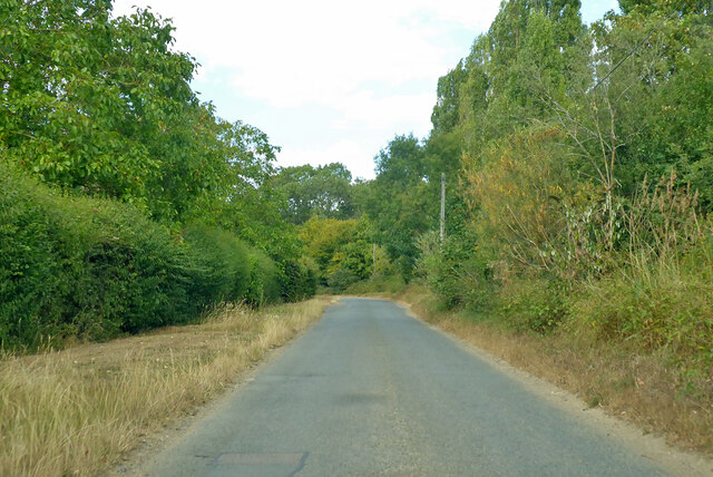
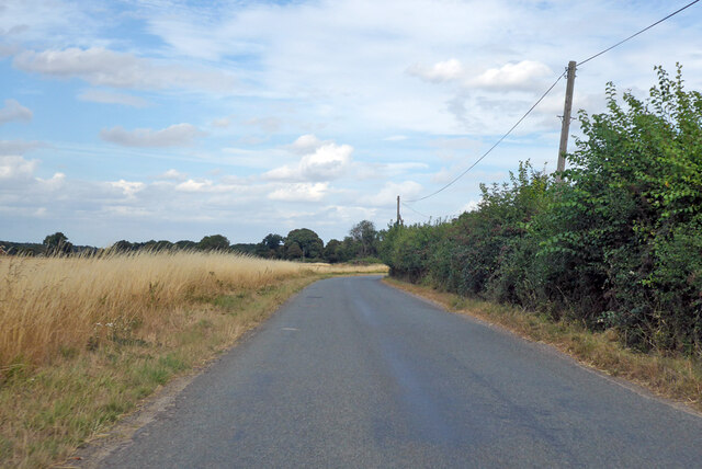
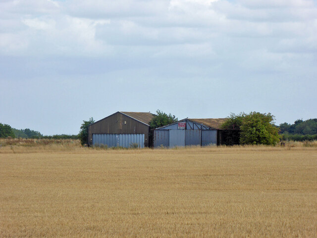
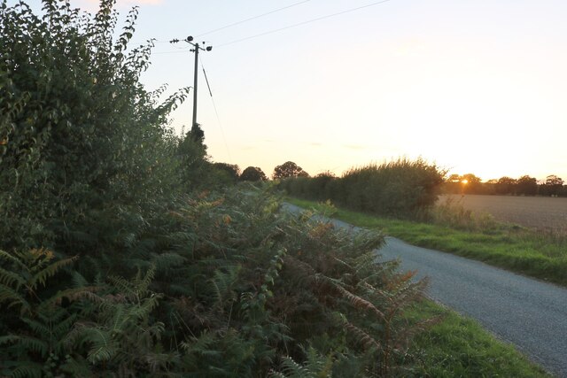
Coney Weston Images

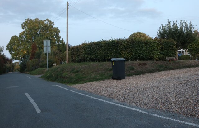
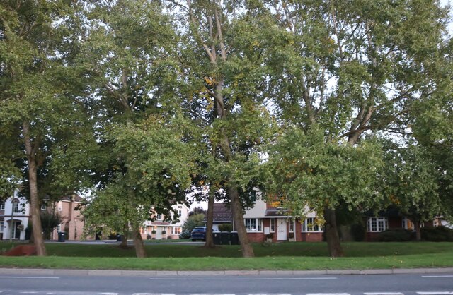
Images are sourced within 2km of 52.364359/0.87061028 or Grid Reference TL9577. Thanks to Geograph Open Source API. All images are credited.

Barningham: 'Imastar', Hepworth Road
Farm track near Broom Barn
St. Mary's Church
St. Mary's Church
Norwich Lane Certainly in the right direction, but Norwich is a long way off.
Norwich Lane
Certainly in the right direction, but Norwich is a long way off.
Park Road. Coney Weston
Norwich Lane Certainly in the right direction, but Norwich is a long way off.
Norwich Lane
Certainly in the right direction, but Norwich is a long way off.
Hangars at Knettishall Airstrip or Coney Weston Airfield A sign says "Danger please keep off Active airstrip', the airstrip is beyond. A larger set of hangars and buildings is over to the left, not too involved in aviation apparently.
Hangars at Knettishall Airstrip or Coney Weston Airfield
A sign says "Danger please keep off Active airstrip', the airstrip is beyond. A larger set of hangars and buildings is over to the left, not too involved in aviation apparently.
Heath Road, Coney Weston
Onions growing in Coney Weston These were all ready for picking.
Onions growing in Coney Weston
These were all ready for picking.
Heath Road, Coney Weston Looking towards Weston Green Lodge.
Heath Road, Coney Weston
Looking towards Weston Green Lodge.
Norwich Lane, Coney Weston
Field in Coney Weston
Field by Norwich Lane, Coney Weston
Church Road, Barningham
Mill Road, Barningham
Hopton Road, Barningham
Show me another place!

Coney Weston is located at Grid Ref: TL9577 (Lat: 52.364359, Lng: 0.87061028)

Administrative County: Suffolk

District: West Suffolk

Police Authority: Suffolk

What 3 Words

///flopping.dating.penny. Near Ixworth, Suffolk

Nearby Locations

Coney Weston

Related Wikis

Coney Weston

Coney Weston is a village and civil parish in Suffolk, England, within the West Suffolk district. It is a primarily rural residential town that has dormitory...

Barningham, Suffolk

Barningham is a village and civil parish in the West Suffolk district of Suffolk, England, about twelve miles north-east of Bury St Edmunds. According...

RAF Knettishall

RAF Knettishall is a former World War II airfield in Suffolk. During the conflict, it was numbered as Station 136 by the United States Army Air Forces...

Knettishall Heath

Knettishall Heath is a 91.7-hectare (227-acre) biological Site of Special Scientific Interest west of Knettishall in Suffolk. A larger area of 176 hectares...

Nearby Amenities

Located within 500m of 52.364359,0.87061028
Coney Weston
Place: hamlet
Source: survey
Wikidata: Q2217981
Lat/Long: 52.3653942/0.8700653
Bus Stop
The Swan
Bus: yes
Local Ref: o/s
Naptan AtcoCode: 390050011
Naptan Bearing: E
Naptan BusStopType: CUS
Naptan Landmark: The Swan
Naptan Street: Thetford Road
Naptan Verified: no
Public Transport: platform
Ref: sufgdama
Source: naptan_import
Lat/Long: 52.3643583/0.8708858
Bus Stop
The Swan
Bus: yes
Local Ref: opp
Naptan AtcoCode: 390050012
Naptan Bearing: W
Naptan BusStopType: CUS
Naptan Landmark: The Swan
Naptan Street: Thetford Road
Naptan Verified: no
Public Transport: platform
Ref: sufgdamd
Source: naptan_import
Lat/Long: 52.3642912/0.8708134
Bus Stop
Village Sign
Bus: yes
Naptan AtcoCode: 390050013
Naptan Bearing: E
Naptan CommonName: Village Sign
Naptan Indicator: o/s
Naptan Landmark: Village Sign
Naptan NaptanCode: sufgdamg
Naptan Street: Thetford Road
Public Transport: platform
Shelter: yes
Source: naptan_import;survey
Lat/Long: 52.3661542/0.8672187
Village Sign
Naptan AtcoCode: 390050014
Naptan Bearing: W
Naptan BusStopType: CUS
Naptan CommonName: Village Sign
Naptan Indicator: opp
Naptan Landmark: Village Sign
Naptan NaptanCode: sufgdamj
Naptan Street: Thetford Road
Naptan Verified: no
Source: naptan_import
Lat/Long: 52.3660642/0.8671289
Fixme: check where name changes
Lat/Long: 52.3664929/0.8732161
Historic: memorial
Lat/Long: 52.3649431/0.8760013
Recycling
Recycling Glass: yes
Lat/Long: 52.3647204/0.8759074
Fixme: check course
Lat/Long: 52.3640193/0.8748266
Barrier: bollard
Lat/Long: 52.3643797/0.8722839
Post Box
Brand: Royal Mail
Brand Wikidata: Q638098
Collection Times: Mo-Fr 16:00; Sa 11:30
Operator: Royal Mail
Operator Wikidata: Q638098
Post Box Type: lamp
Ref: IP31 2108
Royal Cypher: EIIR
Royal Cypher Wikidata: Q33102113
Lat/Long: 52.3660634/0.8724502
Post Box
Collection Times: Mo-Fr 16:00; Sa 11:15
Operator: Royal Mail
Operator Wikidata: Q638098
Post Box Type: lamp
Ref: IP31 2227
Royal Cypher: EIIR
Royal Cypher Wikidata: Q33102113
Lat/Long: 52.3644745/0.8705478
Addr Housename: Old School House
Lat/Long: 52.3648968/0.8753513
Defibrillator
Addr Postcode: IP31 1HG
Addr Street: The Street
Addr Village: Coney Weston
Defibrillator Location: On exterior wall of village hall, facing The Street.
Emergency: defibrillator
Indoor: no
Ref: IP31 1HG
Ref GB The Circuit: 149A3A15-740C-49F9-A780-AD770071AD6B
Lat/Long: 52.3648758/0.8759981
The data included in this document is from www.openstreetmap.org. The data is made available under ODbL.

Have you been to Coney Weston?

Leave your review of Coney Weston below (or comments, questions and feedback).