Barton's Wood
Wood, Forest in Lancashire
England
Barton's Wood
Barton's Wood, located in the county of Lancashire, is a picturesque woodland area in the northwestern region of England. Covering an expansive area, it is a popular destination for nature lovers and outdoor enthusiasts alike.
The wood boasts a diverse range of flora and fauna, making it a haven for wildlife. Visitors can expect to encounter a variety of tree species, including oak, beech, and birch, which create a dense canopy overhead, providing shade and a cool atmosphere during the summer months. The forest floor is adorned with a rich carpet of mosses, ferns, and wildflowers, adding a vibrant touch to the woodland landscape.
Tranquility and serenity are key features of Barton's Wood, providing visitors with the opportunity to escape the hustle and bustle of urban life. The gentle rustling of leaves and the chirping of birds create a soothing soundtrack, while the fresh scent of pine fills the air.
The wood offers numerous walking trails, allowing visitors to explore its beauty at their own pace. These well-maintained paths guide visitors through the heart of the forest, passing by tranquil streams and hidden clearings. Along the way, there are several designated picnic spots, providing the perfect opportunity to rest and recharge amidst nature.
Barton's Wood also holds historical significance, with evidence of human habitation dating back centuries. Archaeological remains, including ancient burial mounds and stone tools, have been discovered within the wood, offering a glimpse into the area's rich past.
Overall, Barton's Wood is a captivating natural sanctuary, offering a delightful retreat for those seeking solace in Lancashire's idyllic countryside.
If you have any feedback on the listing, please let us know in the comments section below.
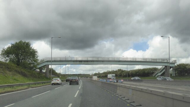
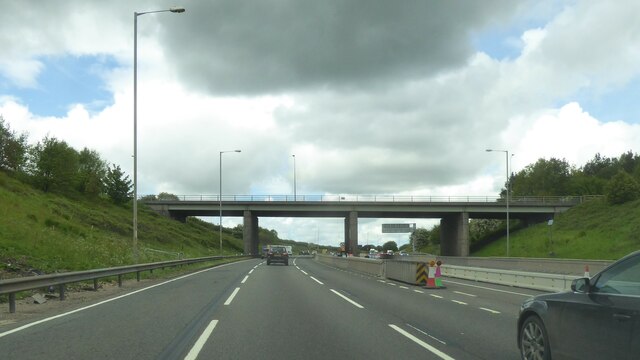
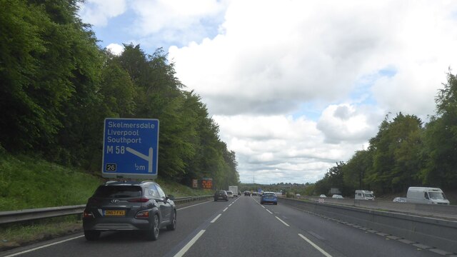
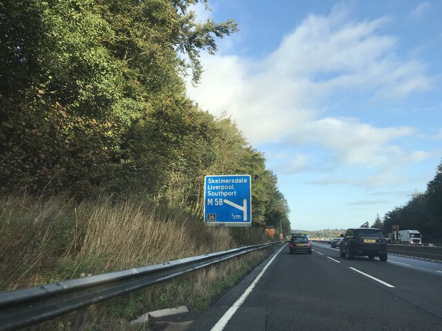
Barton's Wood Images
Images are sourced within 2km of 53.522175/-2.6715512 or Grid Reference SD5503. Thanks to Geograph Open Source API. All images are credited.


Barton's Wood is located at Grid Ref: SD5503 (Lat: 53.522175, Lng: -2.6715512)
Unitary Authority: Wigan
Police Authority: Greater Manchester
What 3 Words
///hothouse.limped.sheepish. Near Wigan, Manchester
Nearby Locations
Related Wikis

Makerfield (UK Parliament constituency)
Makerfield is a constituency represented in the House of Commons of the UK Parliament since 2010 by Yvonne Fovargue of the Labour Party. == History... ==

Winstanley, Greater Manchester
Winstanley is a suburb of Wigan in the Metropolitan Borough of Wigan, in Greater Manchester, England. Historically in Lancashire, the area had a population...

May Mill, Pemberton
May Mill was a cotton spinning mill in Pemberton, Wigan, Greater Manchester, England. Historically in Lancashire, it was built in 1889. It was taken over...
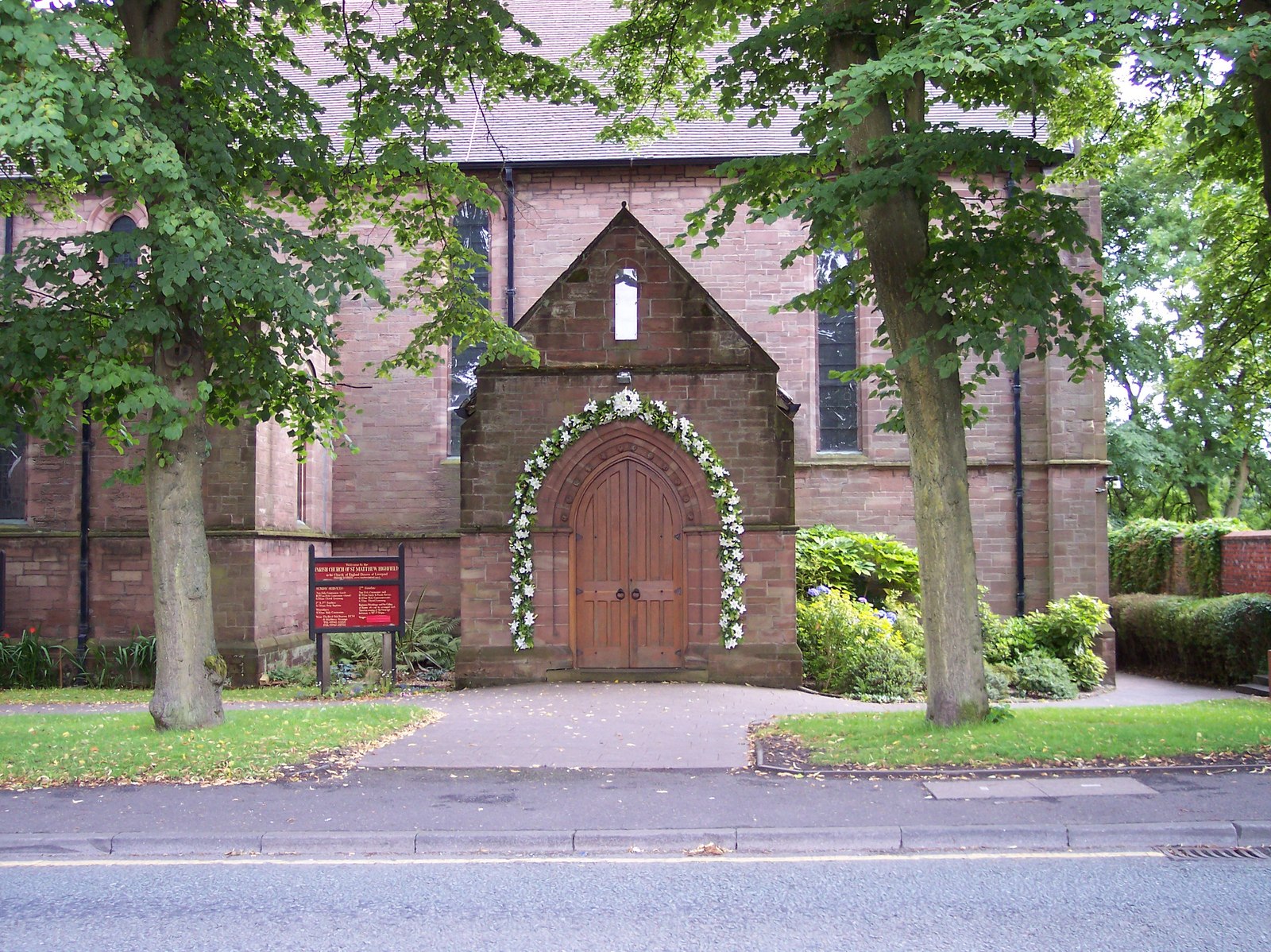
St Matthew's Church, Wigan
St Matthew's Church is in Billinge Road, Highfield, Pemberton, Wigan, Greater Manchester, England. It is an active Anglican parish church in the deanery...
Pemberton Urban District
Pemberton Urban District was an urban district from 1894 to 1904, when it was added to the County Borough of Wigan. It included the township of Pemberton...
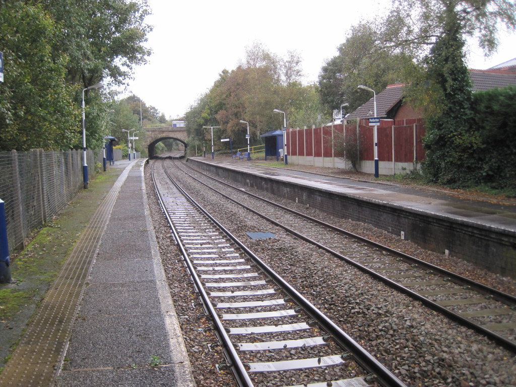
Pemberton railway station
Pemberton railway station serves the Pemberton area of Wigan in Greater Manchester, England. It is on the Kirkby branch line from Wigan Wallgate. The station...
Winstanley Hall
Winstanley Hall is a late 16th-century house in Winstanley, in the Metropolitan Borough of Wigan, Greater Manchester (grid reference SD54430310). It is...
Goose Green, Greater Manchester
Goose Green is a mainly residential area of Wigan, Greater Manchester, England. Historically, it forms part of Lancashire. == References ==
Nearby Amenities
Located within 500m of 53.522175,-2.6715512Have you been to Barton's Wood?
Leave your review of Barton's Wood below (or comments, questions and feedback).