Dog Kennel Wood

Wood, Forest in Lancashire South Ribble

England

Dog Kennel Wood

M6 northbound
M6 northbound Credit: Alpin Stewart

Dog Kennel Wood is a picturesque forest located in the county of Lancashire, England. Situated near the village of Wood, this woodland area covers a vast expanse of approximately 100 acres. The forest is characterized by its dense foliage, towering trees, and serene atmosphere, making it an ideal destination for nature enthusiasts and dog owners alike.

The name "Dog Kennel Wood" is derived from its historical association with hunting and dog training activities. In the past, the forest was used as a training ground for hunting dogs, and kennels were established nearby to house the working canines. Although the forest no longer serves this purpose, the name has persisted, becoming an integral part of its identity.

The forest is home to a diverse range of flora and fauna, including various tree species such as oak, birch, and beech. The woodland floor is covered in a carpet of ferns, wildflowers, and moss, creating a vibrant and enchanting environment. Numerous walking trails meander through the forest, allowing visitors to explore its beauty at their own pace.

Dog Kennel Wood is a haven for wildlife, with sightings of deer, squirrels, and a wide array of bird species being common. Birdwatchers can spot woodpeckers, owls, and even the occasional rare species. Photographers are drawn to the forest's natural beauty, capturing breathtaking shots of the tranquil surroundings.

Visitors to Dog Kennel Wood are advised to respect the environment and adhere to any designated paths and regulations. The forest offers a peaceful retreat from the bustling city life, providing a serene escape for individuals and their four-legged companions.

If you have any feedback on the listing, please let us know in the comments section below.

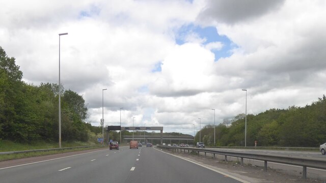
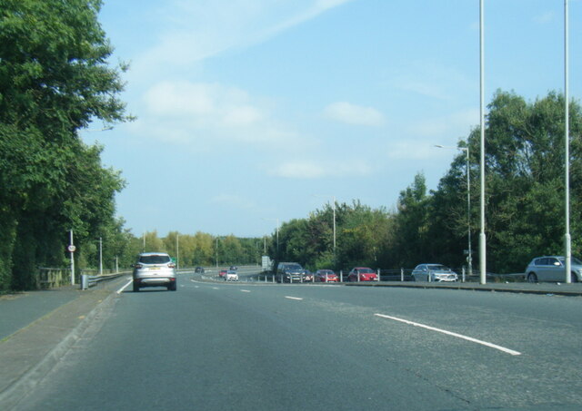
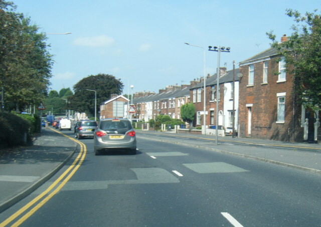
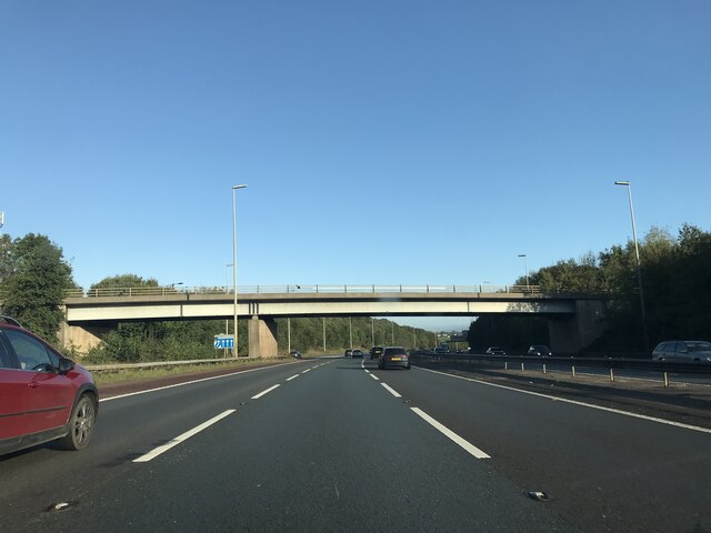
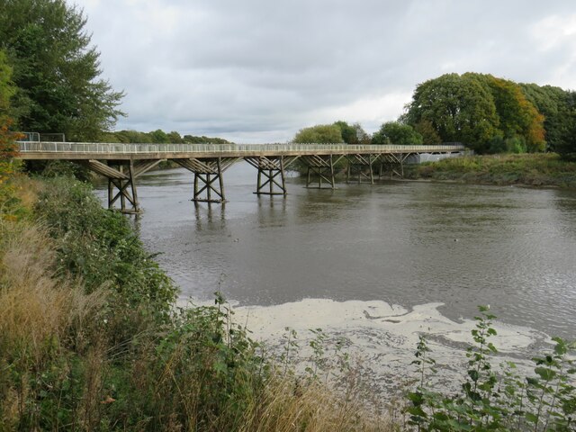
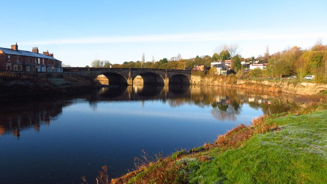
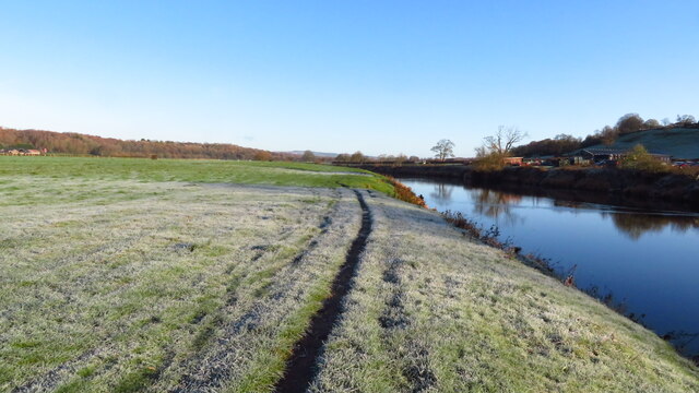
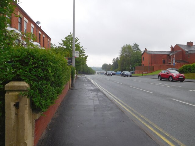
Dog Kennel Wood Images

Images are sourced within 2km of 53.741338/-2.6765579 or Grid Reference SD5527. Thanks to Geograph Open Source API. All images are credited.

M6 northbound
M6 northbound
A6 London Way, northbound
A6 Victoria Road northbound
Cottage Lane bridge - northbound M6
Old Tram Bridge across the River Ribble, Preston The name of the Old Tram Bridge might suggest that it used to carry trams across the River Ribble, on their way into and out of the centre of Preston.  In fact, that is misleading.  The tramway which crossed the bridge was a horse-drawn railway built in 1802 to carry freight to and from a canal dock in Preston.  The tramway closed in 1858.  It has since bene used for many years by pedestrians and cyclists.

The bridge was originally built from wood although, over time, some sections have been replaced by concrete.  However the bridge was closed in 2019 as it was found to be structurally unsafe.
Old Tram Bridge across the River Ribble, Preston
The name of the Old Tram Bridge might suggest that it used to carry trams across the River Ribble, on their way into and out of the centre of Preston. In fact, that is misleading. The tramway which crossed the bridge was a horse-drawn railway built in 1802 to carry freight to and from a canal dock in Preston. The tramway closed in 1858. It has since bene used for many years by pedestrians and cyclists. The bridge was originally built from wood although, over time, some sections have been replaced by concrete. However the bridge was closed in 2019 as it was found to be structurally unsafe.
National Cycle Network signposts, Avenham Park, Preston The signpost in the foreground indicates several routes of the National Cycle Network.  Routes 6, 55, 62 and 622 all converge here, in Avenham Park.

In the background is a National Cycle Network "Millennium" milepost.
National Cycle Network signposts, Avenham Park, Preston
The signpost in the foreground indicates several routes of the National Cycle Network. Routes 6, 55, 62 and 622 all converge here, in Avenham Park. In the background is a National Cycle Network "Millennium" milepost.
The Belvedere, Avenham Park, Preston The Belvedere in Avenham Park in Preston.
The Belvedere, Avenham Park, Preston
The Belvedere in Avenham Park in Preston.
Preston - path leading from Selborne St into Avenham Park
Preston - The River Ribble & Walton Bridge
Frosty morning on the Ribble Way, Fishwick Bottoms
London Road The A6 out of Preston.
London Road
The A6 out of Preston.
Osbaldeston House near Walton-Le- Dale Farmhouse dated 1661, with later addition; now house. Brick on stone
plinth, stone dressings, slate roof with chimneys at left gable, on ridge,
and at right side. L-shaped plan, both elements of 2 bays. Two and 2½
storeys. Front formed by 2½ storey gable of C17 house with 2-storey later
addition to the left; at the junction, and rising only to the eaves, is a
2-storey gabled porch, the front of its ground floor all of stone,
continued above as quoins, with a chamfered doorway, above this a stone
tablet (protected by a straight dripstone), the 4 corners and the centre of
which are lettered in relief: 1 6/ O/ WD/ 6 1 (= William and Dorothy Osbaldeston)
and at 1st floor a 3-light moulded stone mullion window. Right of the
porch the C17 house has stone quoins, single-course brick bands on 2 levels,
and double chamfered stone mullion windows in all walls: at the front, of
2 and 3 lights at ground floor (slightly different levels), 2 and 3 lights
at 1st floor, and 3 lights in the attic; at the side 3 and 4 lights at
ground floor, 3 and 3 above; and at the back, 5, 5 and 3 lights.
Extension left of porch has sashed windows with segmental brick heads in
the 1st bay, low sashed windows in the 2nd bay. Rear has a lean-to in the
re-entrant, and sashed windows with glazing bars in the 1st bay. Interior:
the C17 part has ovolo moulded beams on both floors, a diamond-pattern
stone flagged floor in the entrance hall, cross-corner fireplaces in both
ground floor rooms, an original dog leg staircase with turned balusters,
and a purlin roof. Remarkably complete survival of interior detail of
this period.

Grade II* listed in 1960 - source <span class="nowrap"><a title="https://historicengland.org.uk/listing/the-list/list-entry/1290091?section=official-list-entry" rel="nofollow ugc noopener" href="https://historicengland.org.uk/listing/the-list/list-entry/1290091?section=official-list-entry">Link</a><img style="margin-left:2px;" alt="External link" title="External link - shift click to open in new window" src="https://s1.geograph.org.uk/img/external.png" width="10" height="10"/></span>
Osbaldeston House near Walton-Le- Dale
Farmhouse dated 1661, with later addition; now house. Brick on stone plinth, stone dressings, slate roof with chimneys at left gable, on ridge, and at right side. L-shaped plan, both elements of 2 bays. Two and 2½ storeys. Front formed by 2½ storey gable of C17 house with 2-storey later addition to the left; at the junction, and rising only to the eaves, is a 2-storey gabled porch, the front of its ground floor all of stone, continued above as quoins, with a chamfered doorway, above this a stone tablet (protected by a straight dripstone), the 4 corners and the centre of which are lettered in relief: 1 6/ O/ WD/ 6 1 (= William and Dorothy Osbaldeston) and at 1st floor a 3-light moulded stone mullion window. Right of the porch the C17 house has stone quoins, single-course brick bands on 2 levels, and double chamfered stone mullion windows in all walls: at the front, of 2 and 3 lights at ground floor (slightly different levels), 2 and 3 lights at 1st floor, and 3 lights in the attic; at the side 3 and 4 lights at ground floor, 3 and 3 above; and at the back, 5, 5 and 3 lights. Extension left of porch has sashed windows with segmental brick heads in the 1st bay, low sashed windows in the 2nd bay. Rear has a lean-to in the re-entrant, and sashed windows with glazing bars in the 1st bay. Interior: the C17 part has ovolo moulded beams on both floors, a diamond-pattern stone flagged floor in the entrance hall, cross-corner fireplaces in both ground floor rooms, an original dog leg staircase with turned balusters, and a purlin roof. Remarkably complete survival of interior detail of this period. Grade II* listed in 1960 - source LinkExternal link
Old railway embankment, re-used The former East Lancashire Railway, south of the River Ribble, is now well-used and well-maintained footpath and traffic-free cycle route.
Old railway embankment, re-used
The former East Lancashire Railway, south of the River Ribble, is now well-used and well-maintained footpath and traffic-free cycle route.
Whitehouse Junction North Built as a junction between the East and West Lancashire Railways. Now a junction on a well-used and well-maintained network of traffic-free paths, south of Preston.
Whitehouse Junction North
Built as a junction between the East and West Lancashire Railways. Now a junction on a well-used and well-maintained network of traffic-free paths, south of Preston.
Track under both lines near Whitehouse Junction West This track was mapped in the 1840s, before the railway lines existed. Then it led to Crossleys Farm, now it connects two sets of playing fields.
Track under both lines near Whitehouse Junction West
This track was mapped in the 1840s, before the railway lines existed. Then it led to Crossleys Farm, now it connects two sets of playing fields.
Whitehouse Junction West, from the west Once a railway junction, now a footpath and cycle route junction.
Whitehouse Junction West, from the west
Once a railway junction, now a footpath and cycle route junction.
Triangle of land in the middle of Whitehouse Junction Surrounded by three former railway embankment. This is now part of Preston Junction local nature reserve.
Triangle of land in the middle of Whitehouse Junction
Surrounded by three former railway embankment. This is now part of Preston Junction local nature reserve.
Silver birch on a former railway embankment Often the first trees to colonise abandoned land. Fast growing and short-lived, their rotting trunks improve the soil for other more long-lived trees.
Silver birch on a former railway embankment
Often the first trees to colonise abandoned land. Fast growing and short-lived, their rotting trunks improve the soil for other more long-lived trees.
Show me another place!

Dog Kennel Wood is located at Grid Ref: SD5527 (Lat: 53.741338, Lng: -2.6765579)

Administrative County: Lancashire

District: South Ribble

Police Authority: Lancashire

What 3 Words

///sling.spins.brings. Near Preston, Lancashire

Related Wikis

Walton-le-Dale

Walton-le-Dale is a large village in the borough of South Ribble, in Lancashire, England. It lies on the south bank of the River Ribble, opposite the city...

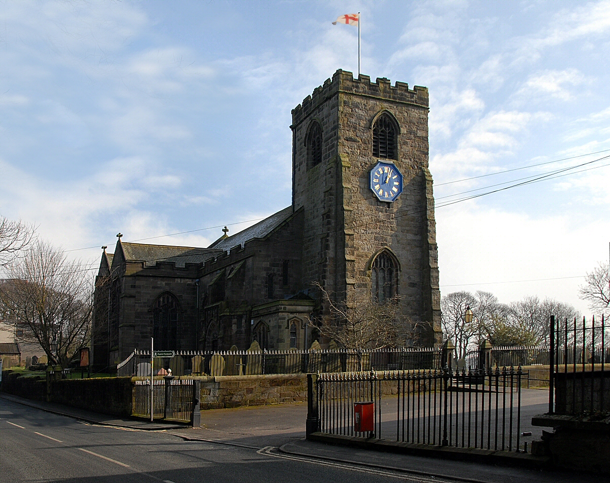
St Leonard's Church, Walton-le-Dale

St Leonard's Church is an Anglican church in Walton-le-Dale, Lancashire, England. It is an active parish church in the Diocese of Blackburn and the archdeaconry...
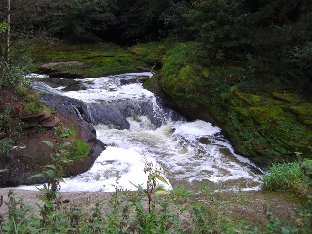
River Darwen

The River Darwen runs through Darwen and Blackburn in Lancashire, England, eventually joining the River Ribble at Walton le Dale south of Preston on its...

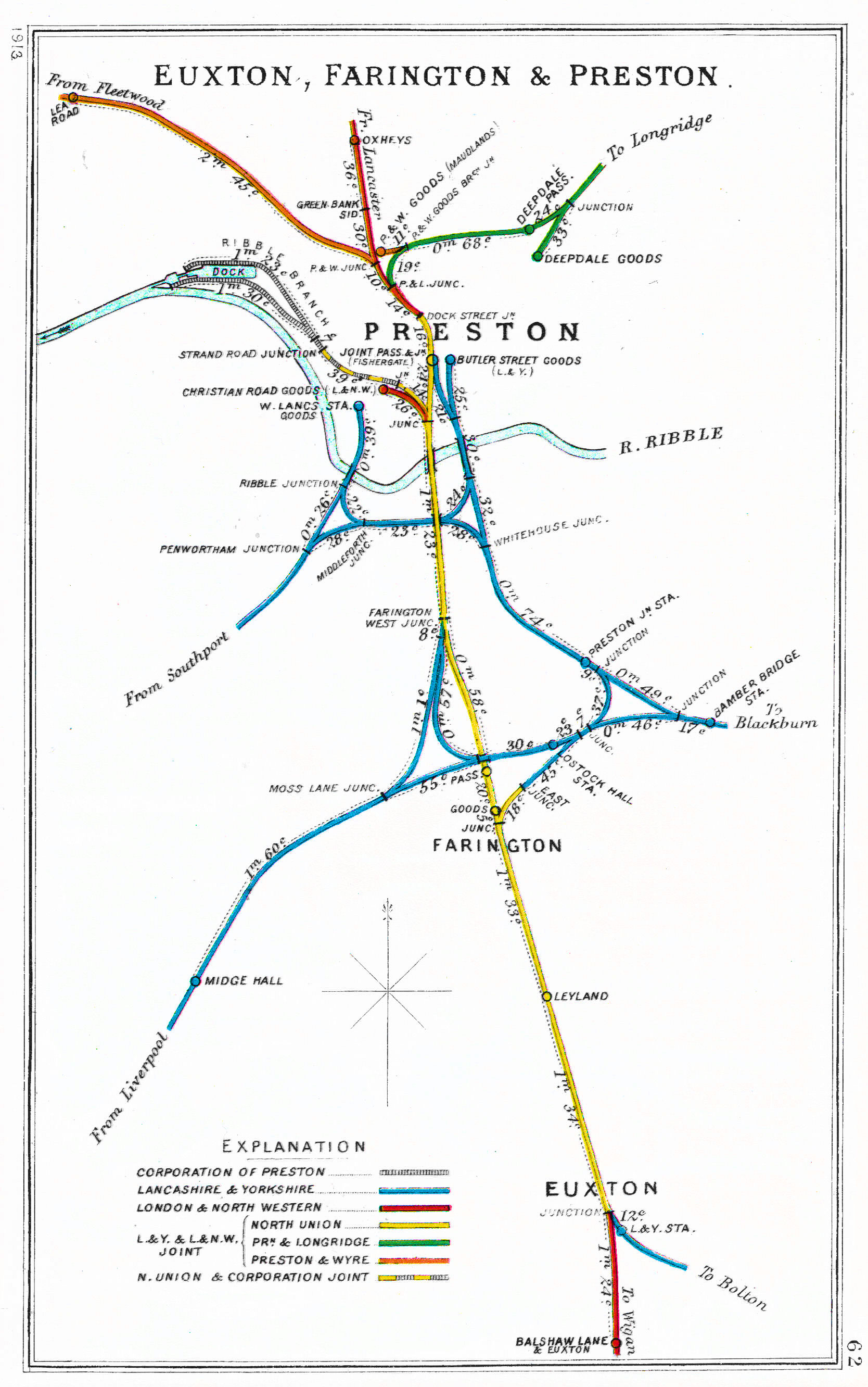
Todd Lane Junction railway station

Todd Lane Junction, previously called Preston Junction until 1952, was a railway station between Preston and Bamber Bridge which closed to passenger traffic...

Nearby Amenities

Located within 500m of 53.741338,-2.6765579
Crossing
Crossing: zebra
Crossing Island: no
Tactile Paving: yes
Lat/Long: 53.7393692/-2.6701402
Crossing
Crossing: unmarked
Crossing Island: no
Tactile Paving: no
Lat/Long: 53.7411513/-2.6693537
Mini Roundabout
Direction: clockwise
Lat/Long: 53.7441095/-2.6720851
Post Office
Cinnamon Hill Post Office
Addr City: Preston
Addr District: Walton-le-Dale
Addr Housenumber: 3-5
Addr Postcode: PR5 4QN
Addr Street: Sandringham Road
Brand: Post Office
Note: in Spar
Opening Hours: Mo-Su 09:00-17:00
Ref Pol Id: 139955
Source: pol_branch_list_2018-02
Lat/Long: 53.7391224/-2.6724563
Barrier: stile
Foot: yes
Lat/Long: 53.7412737/-2.6786673
Barrier: stile
Foot: yes
Lat/Long: 53.740947/-2.6783831
Barrier: stile
Foot: yes
Lat/Long: 53.7392262/-2.6778889
Crossing
Crossing: unmarked
Tactile Paving: no
Lat/Long: 53.7416291/-2.6697323
Barrier: stile
Lat/Long: 53.7393338/-2.6777862
Barrier: kissing_gate
Lat/Long: 53.7382835/-2.6771119
Crossing
Check Date Crossing: 2021-02-24
Crossing: unmarked
Crossing Island: no
Tactile Paving: no
Lat/Long: 53.7441676/-2.6718344
Crossing
Crossing: unmarked
Tactile Paving: no
Lat/Long: 53.7419652/-2.6710068
Crossing
Crossing: unmarked
Tactile Paving: no
Lat/Long: 53.7419896/-2.6708453
Crossing
Check Date Crossing: 2021-02-27
Crossing: unmarked
Tactile Paving: no
Lat/Long: 53.741869/-2.6704559
Crossing
Check Date Crossing: 2021-02-27
Crossing: unmarked
Tactile Paving: no
Lat/Long: 53.7417849/-2.6704529
Crossing
Check Date Crossing: 2021-02-27
Crossing: unmarked
Tactile Paving: no
Lat/Long: 53.7416415/-2.6707184
Crossing
Check Date Crossing: 2021-02-27
Crossing: unmarked
Tactile Paving: no
Lat/Long: 53.7416338/-2.6708935
Crossing
Check Date Crossing: 2021-02-27
Crossing: unmarked
Tactile Paving: no
Lat/Long: 53.7416508/-2.6709488
Crossing
Crossing: unmarked
Tactile Paving: yes
Lat/Long: 53.7417523/-2.671073
Crossing
Crossing: unmarked
Tactile Paving: no
Lat/Long: 53.7418254/-2.6710709
Bus Stop
Holland House Road
Bench: no
Bus: yes
Public Transport: platform
Shelter: no
Tactile Paving: no
Lat/Long: 53.740981/-2.6706924
Bus Stop
Opp Holland House Road
Bench: yes
Bus: yes
Naptan AtcoCode: 2500IMG1275
Naptan NaptanCode: landptgd
Public Transport: platform
Shelter: yes
Tactile Paving: no
Lat/Long: 53.7421572/-2.6711547
Bus Stop
Cinnamon Hill Drive South
Bench: no
Bus: yes
Public Transport: platform
Shelter: no
Tactile Paving: no
Lat/Long: 53.7396769/-2.6704623
Crossing
Crossing: unmarked
Crossing Island: yes
Tactile Paving: no
Lat/Long: 53.7429454/-2.6713983
Crossing
Crossing: unmarked
Crossing Island: yes
Tactile Paving: no
Lat/Long: 53.7433333/-2.6715919
Crossing
Crossing: unmarked
Crossing Island: yes
Tactile Paving: no
Lat/Long: 53.7439698/-2.6719854
Crossing
Crossing: unmarked
Crossing Island: no
Tactile Paving: no
Lat/Long: 53.7440668/-2.672347
Crossing
Crossing: unmarked
Crossing Island: yes
Tactile Paving: no
Lat/Long: 53.7442874/-2.67217
Bus Stop
Hennel Lane
Bench: no
Bus: yes
Public Transport: platform
Shelter: no
Tactile Paving: no
Lat/Long: 53.745115/-2.6727205
Post Box
Brand: Royal Mail
Brand Wikidata: Q638098
Brand Wikipedia: en:Royal Mail
Collection Times: Mo-Fr 09:00, Sa 07:00
Operator: Royal Mail
Operator Wikidata: Q638098
Post Box Design: type_k
Post Box Type: pillar
Ref: PR5 262
Royal Cypher: EIIR
Royal Cypher Wikidata: Q33102113
Lat/Long: 53.7441188/-2.6724904
Give Way
Direction: forward
Lat/Long: 53.7391527/-2.682101
Chiropractic Associates
Healthcare: alternative
Healthcare Speciality: chiropractic
Lat/Long: 53.7396207/-2.6700259
Turning Circle
Lat/Long: 53.7405809/-2.6762396
Crossing
Crossing: unmarked
Tactile Paving: no
Lat/Long: 53.7410003/-2.6693978
Crossing
Crossing: unmarked
Tactile Paving: no
Lat/Long: 53.7416861/-2.6696583
Crossing
Crossing: unmarked
Tactile Paving: no
Lat/Long: 53.7413356/-2.6693254
Crossing
Crossing: unmarked
Tactile Paving: no
Lat/Long: 53.7413945/-2.6692006
Colour: green
Man Made: street_cabinet
Operator: British Telecom
Street Cabinet: telecom
Utility: telecom
Lat/Long: 53.7412956/-2.6706933
Post Box
Collection Times: Mo-Fr 09:00; Sa 07:00; Su off
Drive Through: no
Operator: Royal Mail
Post Box Mounting: brick_pillar
Post Box Type: wall
Ref: PR5 271
Royal Cypher: EIIR
Royal Cypher Wikidata: Q33102113
Lat/Long: 53.7392641/-2.6821548
Waste Basket
Colour: blue
Material: metal
Operator: South Ribble Borough Council
Source: survey
Waste: trash;dog_excrement
Lat/Long: 53.7390603/-2.6724853
Post Box
Collection Times: Mo-Fr 16:45; Sa 10:45
Operator: Royal Mail
Post Box Design: type_k
Post Box Type: pillar
Ref: PR5 412
Royal Cypher: EIIR
Royal Cypher Wikidata: Q33102113
Source: survey
Lat/Long: 53.7390645/-2.6724549
Bus Stop
Hennel Lane Opp Shops
Bench: no
Bus: yes
Naptan AtcoCode: 2500DCL3088
Naptan NaptanCode: landgmta
Public Transport: platform
Shelter: yes
Tactile Paving: no
Lat/Long: 53.7438159/-2.6742885
Bus Stop
Marlborough Dr Hennel Lane
Bench: no
Bus: yes
Naptan AtcoCode: 2500DCL3089
Naptan NaptanCode: landgmtd
Public Transport: platform
Shelter: no
Tactile Paving: no
Lat/Long: 53.7435597/-2.6749913
Waste Basket
Colour: blue
Material: metal
Operator: South Ribble Borough Council
Source: survey
Waste: trash;dog_excrement
Lat/Long: 53.7435431/-2.6747579
Waste Basket
Colour: blue
Material: metal
Operator: South Ribble Borough Council
Source: survey
Waste: trash;dog_excrement
Lat/Long: 53.7429736/-2.6785103
Bench
Backrest: yes
Lat/Long: 53.7442303/-2.6723432
Waste Basket
Colour: blue
Material: metal
Operator: South Ribble Borough Council
Source: survey
Waste: trash;dog_excrement
Lat/Long: 53.7442601/-2.6723257
Board Type: information
Direction: -15
Information: board
Operator: South Ribble Borough Council
Tourism: information
Lat/Long: 53.738884/-2.672694
The data included in this document is from www.openstreetmap.org. The data is made available under ODbL.

Have you been to Dog Kennel Wood?

Leave your review of Dog Kennel Wood below (or comments, questions and feedback).