Comrie

Settlement in Fife

Scotland

Comrie

Harvest stored near Kinneddar Park Silage bales - not sure if the wrapping colour is of any significance?
Harvest stored near Kinneddar Park Credit: M J Richardson

Comrie is a small village located in the county of Fife, Scotland. Situated on the banks of the River Earn, it lies approximately 7 miles west of Dunfermline and 25 miles north of Edinburgh. Comrie is known for its picturesque setting, surrounded by lush green countryside and rolling hills.

The village itself is quaint and charming, with a population of around 1,500 residents. It has a strong sense of community and a friendly atmosphere, making it an attractive place to live or visit. Comrie has a range of amenities, including a post office, shops, a primary school, and several pubs and restaurants.

One of the notable landmarks in Comrie is the Cultybraggan Camp, which was a World War II prisoner of war camp and is now home to a museum. The camp offers an interesting insight into the history of the area and attracts visitors from near and far.

Nature enthusiasts will be delighted by the surrounding countryside, which offers plenty of opportunities for outdoor activities. The nearby Ochil Hills provide stunning views and are perfect for hiking and wildlife spotting. The River Earn is also popular for fishing and boating.

Comrie hosts various events throughout the year, including the Comrie Fortnight, a two-week-long festival featuring sports competitions, live music, and family-friendly activities. This event brings the community together and attracts visitors from across the region.

In summary, Comrie is a picturesque village with a strong sense of community, surrounded by beautiful countryside. It offers a range of amenities and attractions, making it an appealing destination for both residents and visitors.

If you have any feedback on the listing, please let us know in the comments section below.
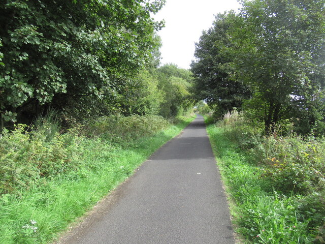
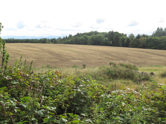
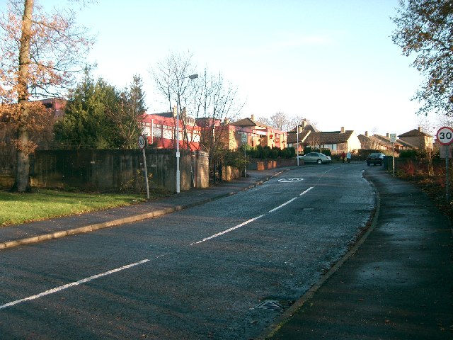
Comrie Images

Images are sourced within 2km of 56.085736/-3.580221 or Grid Reference NT0189. Thanks to Geograph Open Source API. All images are credited.

Harvest stored near Kinneddar Park Silage bales - not sure if the wrapping colour is of any significance?
Harvest stored near Kinneddar Park
Silage bales - not sure if the wrapping colour is of any significance?
Sheep pasture at Muirside of Kinneddar
Grass fields at Kinneddar Park Possibly the source of the silage at <a href="https://www.geograph.org.uk/photo/6291724">NT0290 : Harvest stored near Kinneddar Park</a>.
Grass fields at Kinneddar Park
Possibly the source of the silage at NT0290 : Harvest stored near Kinneddar Park.
Blairsgreen Pasture near Saline.
Blairsgreen
Pasture near Saline.
Fife pastures On the coal measures where the ground is often wet.
Fife pastures
On the coal measures where the ground is often wet.
Road to Bickramside This was the access road to Comrie Colliery.
Road to Bickramside
This was the access road to Comrie Colliery.
Kinneddar Park
Kinneddar Park
A907 at Mains of Comrie
A907 near Comrie
A907 near Comrie
Garden and fields at Inzievar
Flats above a row of shops, Oakley
Path, Comrie The trackbed of the Oakley and Comrie Collieries mineral line. It links with the path along the Dunfermline to Alloa trackbed and paths through woodland.
Path, Comrie
The trackbed of the Oakley and Comrie Collieries mineral line. It links with the path along the Dunfermline to Alloa trackbed and paths through woodland.
Remnant of Oakley Colliery Mapped as a mill. Once there was a large area covered with colliery buildings and railway lines here.
Remnant of Oakley Colliery
Mapped as a mill. Once there was a large area covered with colliery buildings and railway lines here.
Stirling and Dunfermline Railway trackbed Now a popular rails to trails conversion and very useful cyclepath.
Stirling and Dunfermline Railway trackbed
Now a popular rails to trails conversion and very useful cyclepath.
Stubble near Oakley
Stubble near Oakley
Track Track from Cowstrandburn to Kinneddar Park where it passes through the site of a former colliery.
Track
Track from Cowstrandburn to Kinneddar Park where it passes through the site of a former colliery.
Housing At Kinneddar Park.
Housing
At Kinneddar Park.
Pigeon Lofts Kinneddar Park Lofts where some of the members of Oakley Pigeon Club keep their doos.
Pigeon Lofts
Kinneddar Park Lofts where some of the members of Oakley Pigeon Club keep their doos.
Show me another place!

Comrie is located at Grid Ref: NT0189 (Lat: 56.085736, Lng: -3.580221)

Unitary Authority: Fife

Police Authority: Fife

What 3 Words

///range.flush.sparrows. Near Oakley, Fife

Nearby Locations

Comrie

Related Wikis

Nearby Amenities

Located within 500m of 56.085736,-3.580221
Pub
White Gates
Operator: Free House
Lat/Long: 56.0873933/-3.5760689
Bus Stop
Porterfield
Bench: yes
Bus: yes
Lit: no
Naptan AtcoCode: 6500D0665
Naptan NaptanCode: 34325624
Passenger Information Display: no
Public Transport: platform
Shelter: yes
Lat/Long: 56.0875669/-3.5793419
Bus Stop
Porterfield
Bench: no
Bin: yes
Bus: yes
Lit: no
Naptan AtcoCode: 6500D0664
Naptan NaptanCode: 34325498
Passenger Information Display: no
Public Transport: platform
Shelter: no
Tactile Paving: no
Lat/Long: 56.0874652/-3.579163
Bus Stop
Main Street
Bench: no
Bin: yes
Bus: yes
Lit: no
Naptan AtcoCode: 6500D0739
Naptan NaptanCode: 34325497
Passenger Information Display: no
Public Transport: platform
Shelter: no
Lat/Long: 56.087342/-3.5759411
Bus Stop
Main Street
Bench: no
Bus: yes
Lit: no
Passenger Information Display: no
Public Transport: platform
Shelter: no
Lat/Long: 56.0872363/-3.575105
Bus Stop
Blairwood Park
Bench: no
Bin: no
Bus: yes
Check Date Shelter: 2024-01-21
Lit: no
Passenger Information Display: no
Public Transport: platform
Shelter: no
Tactile Paving: no
Lat/Long: 56.0871031/-3.5726618
Recycling
Lat/Long: 56.0853517/-3.582293
Saline Motors
Shop: car
Lat/Long: 56.0876956/-3.5800239
Shop: car_repair
Lat/Long: 56.0876732/-3.5798026
Defibrillator
Emergency: defibrillator
Lat/Long: 56.0873567/-3.5758868
Crossing
Crossing: unmarked
Crossing Island: no
Tactile Paving: no
Lat/Long: 56.0875476/-3.5800423
Post Box
Brand: Royal Mail
Brand Wikidata: Q638098
Brand Wikipedia: en:Royal Mail
Collection Times: Mo-Fr 09:00; Sa 07:00
Operator: Royal Mail
Operator Wikidata: Q638098
Post Box Type: lamp
Ref: KY12 67D
Royal Cypher: scottish_crown
Lat/Long: 56.0874524/-3.5791154
Post Box
Brand: Royal Mail
Brand Wikidata: Q638098
Brand Wikipedia: en:Royal Mail
Collection Times: Mo-Fr 09:00; Sa 07:00
Operator: Royal Mail
Operator Wikidata: Q638098
Post Box Type: lamp
Ref: KY12 396D
Royal Cypher: scottish_crown
Lat/Long: 56.0854864/-3.5784709
Grit Bin
Lat/Long: 56.0854247/-3.5820129
Ford: yes
Lat/Long: 56.0836965/-3.5784667
Bench
Lat/Long: 56.0849032/-3.5824377
Bench
Lat/Long: 56.0849127/-3.5833297
Bench
Lat/Long: 56.0849534/-3.5843844
Comrie
Place: village
Wikidata: Q55739699
Wikipedia: en:Comrie, Fife
Lat/Long: 56.0856587/-3.5778062
Power: pole
Lat/Long: 56.089643/-3.5834503
Power: pole
Lat/Long: 56.0888774/-3.5831139
Power: pole
Lat/Long: 56.0881391/-3.5827774
Material: wood
Power: pole
Lat/Long: 56.0877855/-3.5804634
Material: wood
Power: pole
Lat/Long: 56.0879566/-3.5815856
Material: wood
Power: pole
Lat/Long: 56.0883331/-3.5840032
Power: pole
Lat/Long: 56.088633/-3.5844278
Power: pole
Lat/Long: 56.0887486/-3.5849756
Material: wood
Power: pole
Lat/Long: 56.0889271/-3.5858351
The data included in this document is from www.openstreetmap.org. The data is made available under ODbL.

Have you been to Comrie?

Leave your review of Comrie below (or comments, questions and feedback).