Back Wood
Wood, Forest in Cumberland Carlisle
England
Back Wood

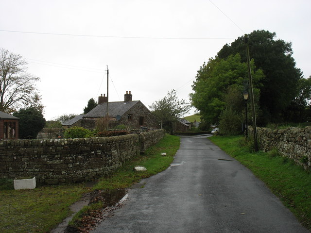
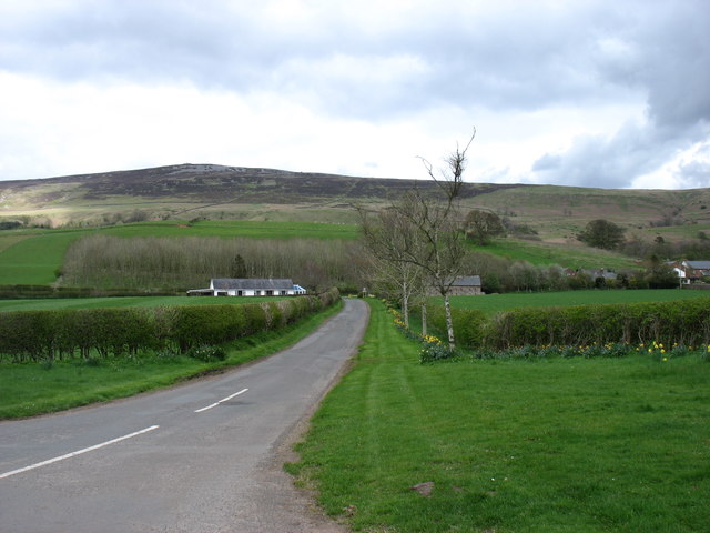
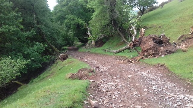
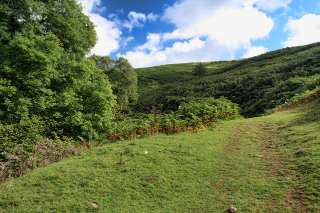
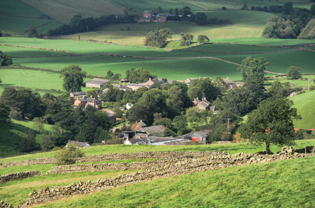
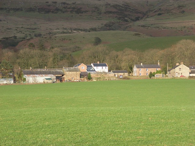
Back Wood, Cumberland (Wood, Forest) is a serene and picturesque natural area located in the county of Cumberland, England. This enchanting woodland is nestled amidst the rolling hills and scenic landscapes of the region, making it a popular destination for nature lovers and outdoor enthusiasts.
Covering an expansive area of approximately 500 acres, Back Wood is characterized by its dense canopy of towering trees, including oak, ash, and beech, which provide a cool and refreshing shade during the summer months. The forest floor is carpeted with a rich diversity of flora, including bluebells, ferns, and wildflowers, creating a vibrant and colorful tapestry.
Back Wood is home to a diverse range of wildlife, including various species of birds, such as woodpeckers, owls, and thrushes, which can be spotted darting among the trees. Deer, foxes, and rabbits are also common sightings within the forest, adding to its natural allure.
The woodland offers numerous walking trails and paths, allowing visitors to explore its natural beauty and immerse themselves in its tranquil ambiance. These trails range from gentle strolls to more challenging hikes, catering to different levels of fitness and interest. Additionally, the forest is equipped with picnic areas and benches, providing the perfect spot for visitors to relax and enjoy a picnic amidst the serene surroundings.
Back Wood, Cumberland offers a peaceful retreat from the hustle and bustle of city life, providing a sanctuary for both nature enthusiasts and those seeking solace in the great outdoors. Its breathtaking beauty and abundant wildlife make it a must-visit destination for anyone wishing to connect with nature's wonders.
If you have any feedback on the listing, please let us know in the comments section below.
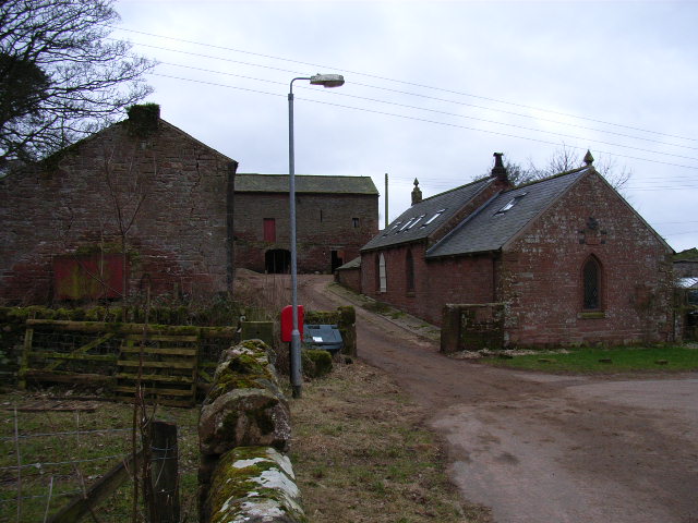
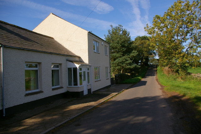
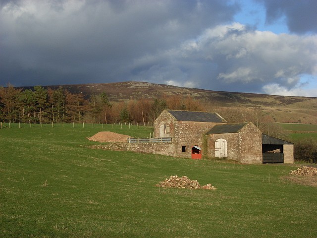
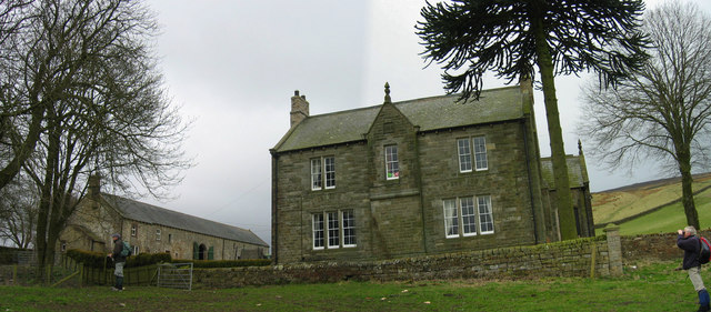
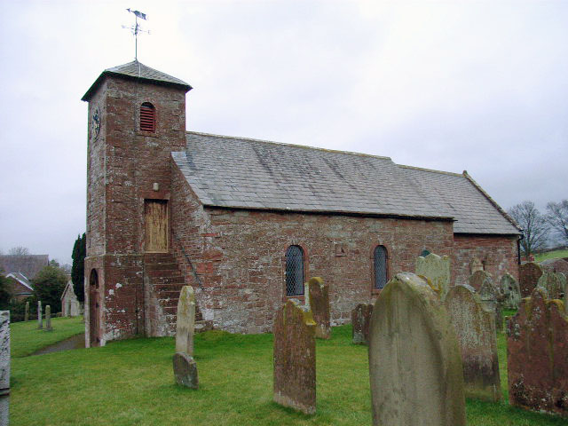
Back Wood Images
Images are sourced within 2km of 54.850284/-2.6973288 or Grid Reference NY5550. Thanks to Geograph Open Source API. All images are credited.


Back Wood is located at Grid Ref: NY5550 (Lat: 54.850284, Lng: -2.6973288)
Administrative County: Cumbria
District: Carlisle
Police Authority: Cumbria
What 3 Words
///simulations.sprinting.entitles. Near Wetheral, Cumbria
Nearby Locations
Related Wikis
Cumrew
Cumrew is a small village and civil parish in north-east Cumbria, England. About 7 miles (11 km) south of Brampton and 13 miles (21 km) east of Carlisle...

Carlatton and Cumrew
Carlatton and Cumrew are civil parishes in Cumbria, England with a common parish council.The Eastern boundary of this rural parish is Cardunneth Pike in...

Albyfield
Albyfield is a hamlet in Cumbria, England.

Newbiggin, Ainstable
Newbiggin is a small hamlet in Cumbria, England. Cumrew beck flows north-west through Newbiggin eventually joining the Eden close to Armathwaite. The village...
Geltsdale Reservoir railway
The Geltsdale Reservoir railway was a 3 ft (914 mm) narrow gauge industrial railway used during the construction of Castle Carrock Reservoir near Carlisle...
Geltsdale
Geltsdale is a hamlet and former civil parish, now in the parish of Castle Carrock, in the Cumberland district, in the ceremonial county of Cumbria, England...

Croglin
Croglin is the name of a village, former civil parish, beck (stream), and grange now in the parish of Ainstable, in the Westmorland and Furness district...
Cumwhitton
Cumwhitton is a small village and civil parish close to Carlisle in Cumbria, England. It lies just east of the M6 and the nearest train station is located...
Nearby Amenities
Located within 500m of 54.850284,-2.6973288Have you been to Back Wood?
Leave your review of Back Wood below (or comments, questions and feedback).