Brickyard Plantation
Wood, Forest in Herefordshire
England
Brickyard Plantation
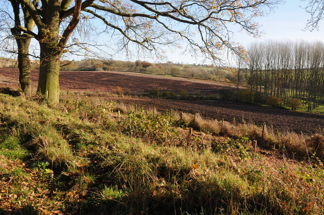
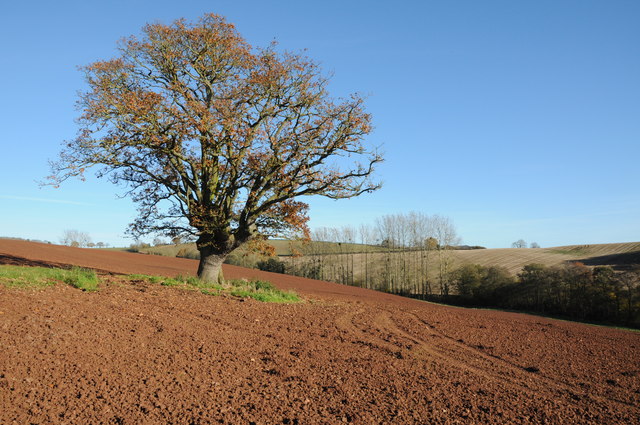
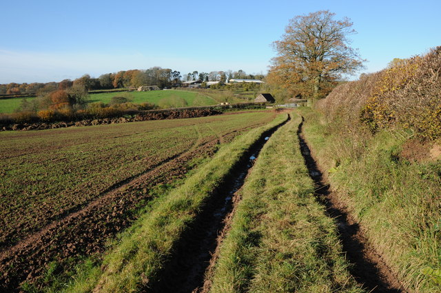
Brickyard Plantation is a picturesque woodland area located in the heart of Herefordshire, England. Covering an expansive area, it is known for its dense forests and abundant wildlife. The plantation primarily consists of various types of wood, with oak and beech being the dominant species.
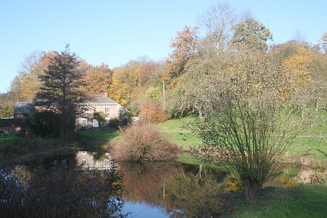
This woodland haven provides a tranquil escape from the hustle and bustle of everyday life. Visitors can immerse themselves in the natural beauty that surrounds them, with tall, majestic trees creating a canopy above and a carpet of fallen leaves beneath their feet. The plantation is a haven for nature enthusiasts and outdoor adventurers alike, offering a range of activities such as hiking, birdwatching, and photography.
The diverse ecosystem of Brickyard Plantation supports a wide range of wildlife. Deer, foxes, and squirrels are commonly spotted roaming the area, while a variety of birds, including woodpeckers and owls, can be heard chirping and hooting in the treetops. The plantation is also home to several rare and endangered species, making it an important conservation area.
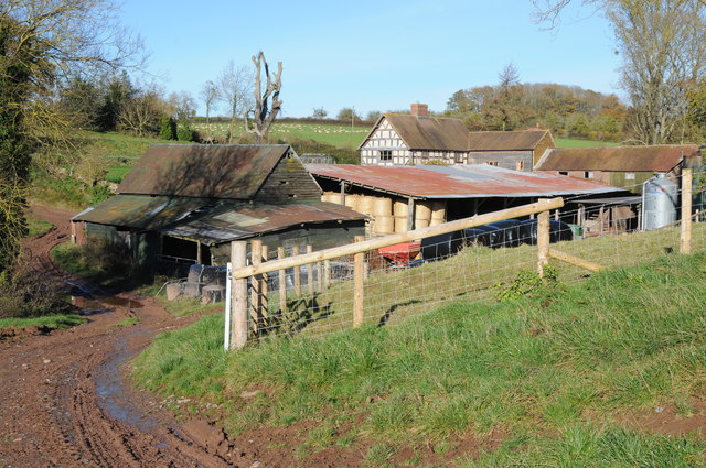
Aside from its natural beauty, Brickyard Plantation also holds historical significance. It was once used as a brickworks, hence its name, and remnants of this industry can still be found scattered across the area. These remnants provide a glimpse into the past and add a unique charm to the plantation.
In summary, Brickyard Plantation in Herefordshire is a captivating woodland retreat that offers visitors a chance to reconnect with nature. With its lush forests, diverse wildlife, and historical significance, it is a destination that appeals to both nature lovers and history enthusiasts alike.
If you have any feedback on the listing, please let us know in the comments section below.
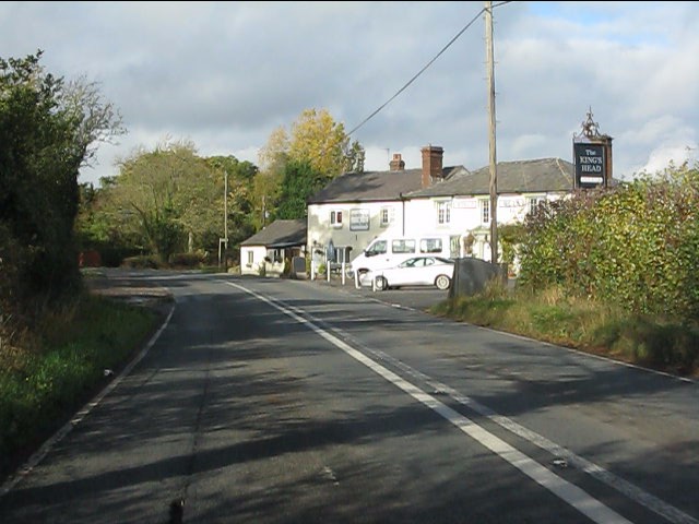
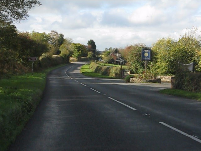
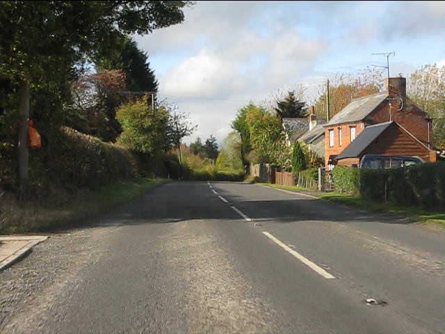
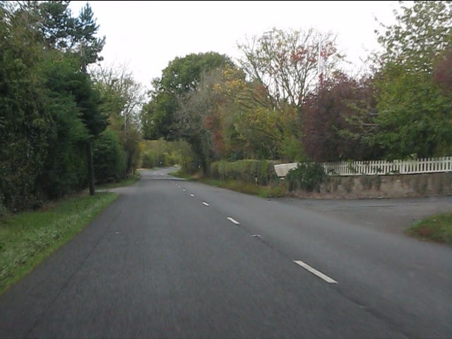
Brickyard Plantation Images
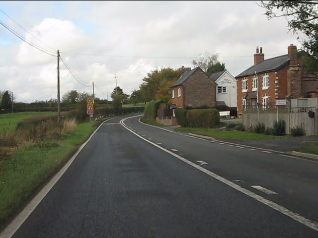
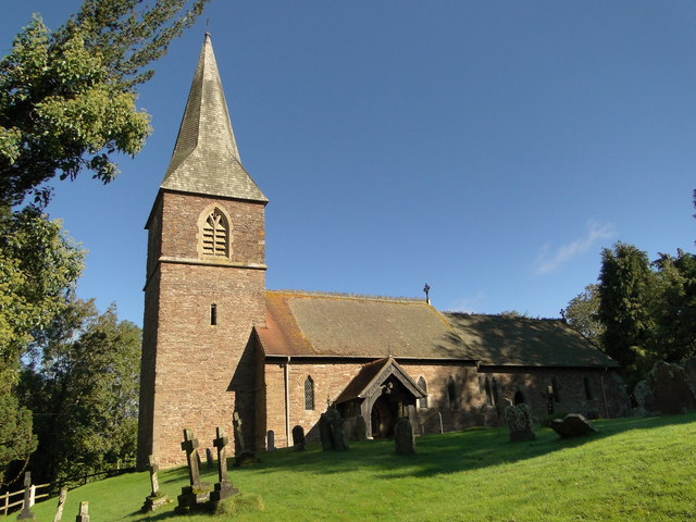
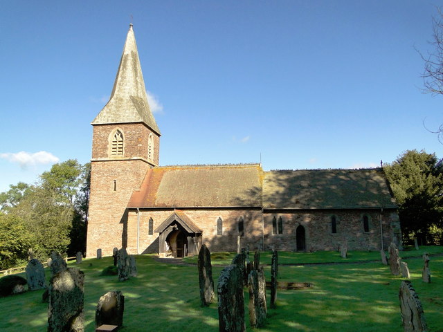
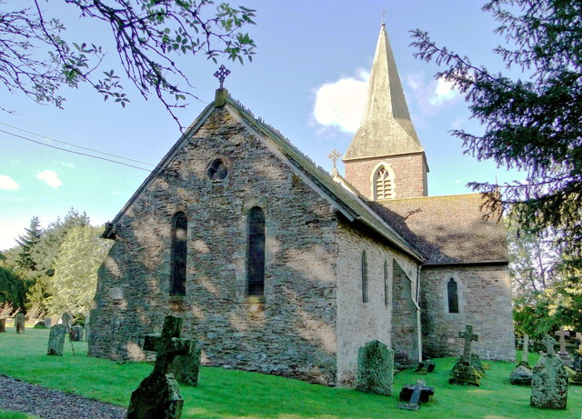
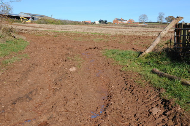
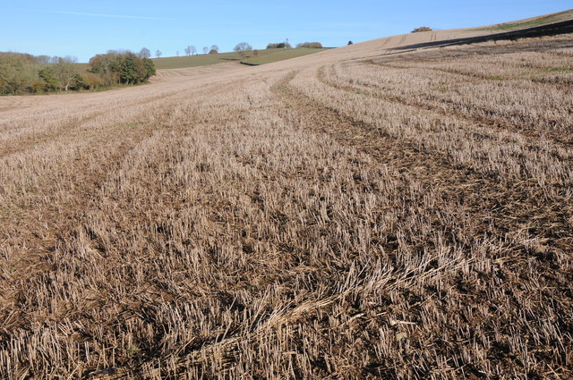
Images are sourced within 2km of 52.204481/-2.655218 or Grid Reference SO5556. Thanks to Geograph Open Source API. All images are credited.


Brickyard Plantation is located at Grid Ref: SO5556 (Lat: 52.204481, Lng: -2.655218)
Unitary Authority: County of Herefordshire
Police Authority: West Mercia
What 3 Words
///rides.flexed.petrified. Near Humber, Herefordshire
Nearby Locations
Related Wikis

Steens Bridge railway station
Steens Bridge railway station was a station to the east of Stoke Prior, Herefordshire, England. The station was opened in 1884 and closed in 1952. ��2...

Docklow and Hampton Wafer
Docklow and Hampton Wafer (alternatively Docklow and Hampton Wafre), is a civil parish in the county of Herefordshire, England, and is 11 miles (18 km...
Risbury
Risbury is a village in the civil parish of Humber in Herefordshire, England, and 4 miles (6 km) south-east of Leominster. There used to be a Methodist...

Humber, Herefordshire
Humber is a hamlet and civil parish in the county of Herefordshire, England, and is 10 miles (16 km) north from the city and county town of Hereford. The...
Nearby Amenities
Located within 500m of 52.204481,-2.655218Have you been to Brickyard Plantation?
Leave your review of Brickyard Plantation below (or comments, questions and feedback).