Weston Common

Wood, Forest in Shropshire

England

Weston Common

Carved buzzard as a gatepost. Patient buzzard carved in to the gatepost of a field opposite Greater Postan Farm on Weston Hill.
Carved buzzard as a gatepost. Credit: Peter Evans

Weston Common is a picturesque woodland area located in the county of Shropshire, England. Situated in the heart of the county, this natural gem covers an extensive area of forest, providing a haven for wildlife and a tranquil escape for visitors.

The common is predominantly covered by dense woodlands, with a variety of tree species including oak, birch, and beech. These trees create a canopy that filters sunlight, resulting in a cool and shaded environment, even on the hottest summer days. The forest floor is adorned with a rich carpet of ferns, mosses, and wildflowers, adding to the area's natural beauty.

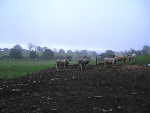
The common is home to a diverse range of wildlife, making it a popular destination for nature enthusiasts and birdwatchers. Visitors may be lucky enough to spot deer, foxes, and an array of bird species, including woodpeckers, owls, and songbirds. The peacefulness of the woodland provides an ideal habitat for these creatures, allowing them to thrive undisturbed.

There are several walking trails that wind their way through Weston Common, providing opportunities for visitors to explore the area and discover its hidden treasures. These trails vary in difficulty, catering to both casual strollers and more adventurous hikers. Along the way, benches and picnic spots are scattered throughout the woodland, offering convenient resting places for those seeking a moment of tranquility.

Weston Common truly encapsulates the natural beauty of Shropshire, with its lush forest, diverse wildlife, and serene atmosphere. Whether one is seeking a peaceful walk, a spot of birdwatching, or simply a place to reconnect with nature, this woodland paradise offers it all.

If you have any feedback on the listing, please let us know in the comments section below.

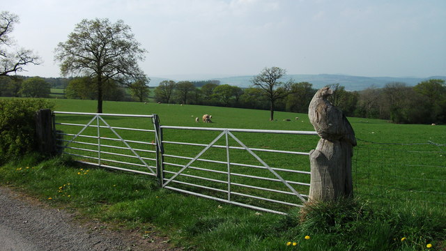
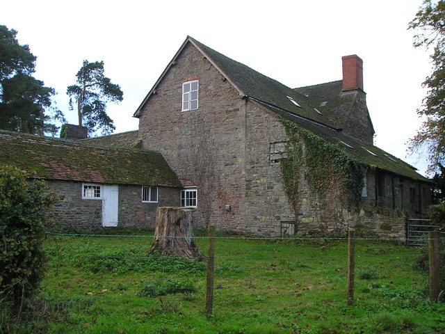
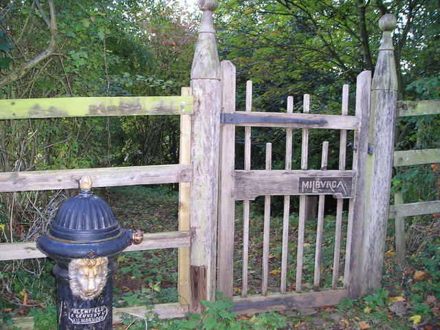
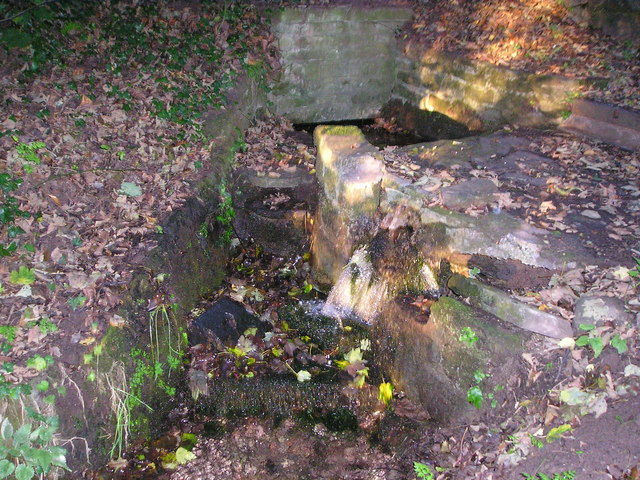
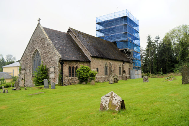
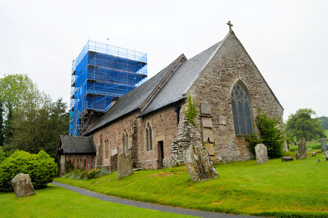
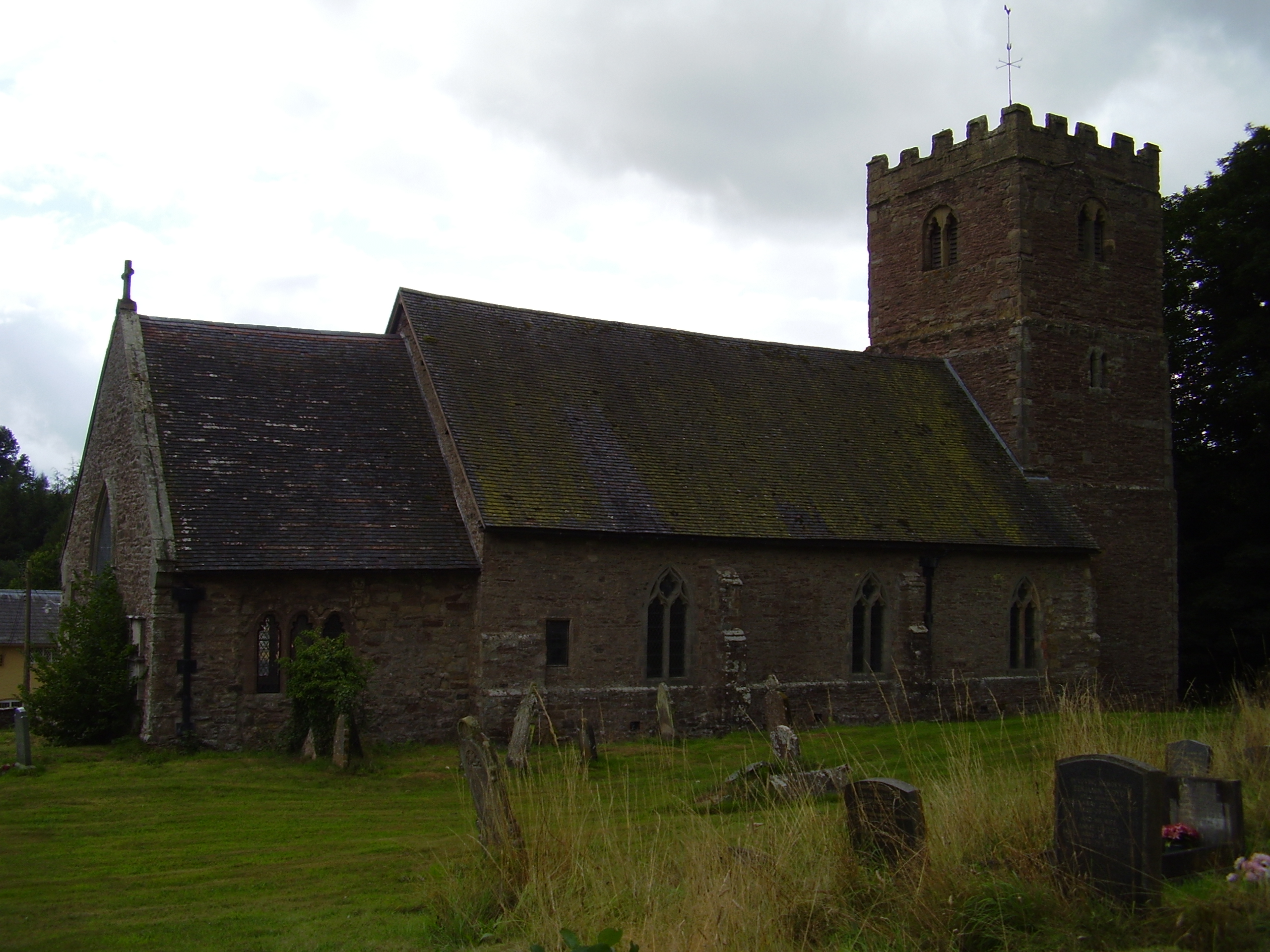
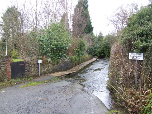
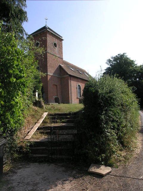
Weston Common Images

Images are sourced within 2km of 52.440242/-2.6589025 or Grid Reference SO5582. Thanks to Geograph Open Source API. All images are credited.

Carved buzzard as a gatepost. Patient buzzard carved in to the gatepost of a field opposite Greater Postan Farm on Weston Hill.
Carved buzzard as a gatepost.
Patient buzzard carved in to the gatepost of a field opposite Greater Postan Farm on Weston Hill.
Woodland by Cedarwood Cottages A small deciduous wood. The name Cedarwood Cottages refers to the wooden cladding on a row of houses beyond the wood, not this woodland.
Woodland by Cedarwood Cottages
A small deciduous wood. The name Cedarwood Cottages refers to the wooden cladding on a row of houses beyond the wood, not this woodland.
Feeding troughs Troughs for feeding sheep. There are a lot of mature trees here suggesting that this was once woodland.
Feeding troughs
Troughs for feeding sheep. There are a lot of mature trees here suggesting that this was once woodland.
Shed, Sutton Hill
Shed, Sutton Hill
Sheep, Sutton Hill Abdon Burf on the Brown Clee is visible in the background.
Sheep, Sutton Hill
Abdon Burf on the Brown Clee is visible in the background.
Baldwin's Coppice A conifer plantation, it is too dark for the brambles that usually grow in woodland on Old Red Sandstone.
Baldwin's Coppice
A conifer plantation, it is too dark for the brambles that usually grow in woodland on Old Red Sandstone.
Lesser Poston Looks like some reroofing work was in progress.
Lesser Poston
Looks like some reroofing work was in progress.
Stoke Court Farm
Stoke Court Farm
St Milburgha's Well Entrance to St Milburgha's Well. A plaque just inside tells how St Milburgha had an accident when riding here in about 666. She was so impressed by the kindness of the people who helped her that she struck the rock and caused water to gush out.
St Milburgha's Well
Entrance to St Milburgha's Well. A plaque just inside tells how St Milburgha had an accident when riding here in about 666. She was so impressed by the kindness of the people who helped her that she struck the rock and caused water to gush out.
Water emerging from St Milburgha's Well
Sewage treatment works Modern sewage treatment facility owned by Severn Trent Water. The digester emits noxious gases and a notice on the door tells operatives to ventilate the facility for 12 minutes before entering.
Sewage treatment works
Modern sewage treatment facility owned by Severn Trent Water. The digester emits noxious gases and a notice on the door tells operatives to ventilate the facility for 12 minutes before entering.
Young cattle It is late October. The ash trees have shed their leaves but some other trees, including the oaks, retain theirs.
Young cattle
It is late October. The ash trees have shed their leaves but some other trees, including the oaks, retain theirs.
St Milburgha, Stoke St Milborough Pouring with rain, with the tower encased in scaffolding and plastic sheeting - not great raw material for a decent picture.
St Milburgha, Stoke St Milborough
Pouring with rain, with the tower encased in scaffolding and plastic sheeting - not great raw material for a decent picture.
St Milburgha, Stoke St Milborough Pouring with rain and the tower encased in scaffolding and plastic sheeting - not great raw material for a decent picture.
St Milburgha, Stoke St Milborough
Pouring with rain and the tower encased in scaffolding and plastic sheeting - not great raw material for a decent picture.
Ford at Clee St Margaret This ford is found on the Clee Brook on a B.O.A.T. leading to Peckledy.
Ford at Clee St Margaret
This ford is found on the Clee Brook on a B.O.A.T. leading to Peckledy.
Byway near Peckledy Farm Heading southeast along a byway away from Peckledy Farm.
Byway near Peckledy Farm
Heading southeast along a byway away from Peckledy Farm.
Clee Brook Looking east along Clee Brook near between Peckledy and Clee St Margaret.
Clee Brook
Looking east along Clee Brook near between Peckledy and Clee St Margaret.
Show me another place!

Weston Common is located at Grid Ref: SO5582 (Lat: 52.440242, Lng: -2.6589025)

Unitary Authority: Shropshire

Police Authority: West Mercia

What 3 Words

///amounting.clues.unzips. Near Ludlow, Shropshire

Related Wikis

Stoke St. Milborough

Stoke St. Milborough is a parish located in the south of Shropshire, England, north-east of Ludlow. The population of the civil parish at the 2011 census...

Clee St. Margaret

Clee St. Margaret is a small village and civil parish in the Clee Hills area of Shropshire, England. It is seven miles north east (about a fifteen-minute...

Hopton Cangeford

Hopton Cangeford, also referred to as Hopton-in-the-Hole, is a small village and civil parish in south Shropshire, England. The small parish includes Lesser...

Bouldon

Bouldon is a hamlet in Shropshire, England. It lies in the civil parish of Diddlebury. The hamlet comprises approximately 14 houses, a number of agricultural...

Nearby Amenities

Located within 500m of 52.440242,-2.6589025
Weston Hill
Man Made: survey_point
Lat/Long: 52.4379494/-2.658208
Scirmidge
Place: hamlet
Source: OS 1:25k
Lat/Long: 52.441747/-2.6546415
Cold Weston
Place: hamlet
Source: OS 1:25k
Wikidata: Q68487056
Lat/Long: 52.4434343/-2.6598128
Power: pole
Source: bing
Lat/Long: 52.4436266/-2.6634523
Power: pole
Source: bing
Lat/Long: 52.4430544/-2.664595
The data included in this document is from www.openstreetmap.org. The data is made available under ODbL.

Have you been to Weston Common?

Leave your review of Weston Common below (or comments, questions and feedback).