Limekiln Wood
Wood, Forest in Gloucestershire
England
Limekiln Wood

Limekiln Wood is a picturesque woodland area located in Gloucestershire, England. Situated in the heart of the Forest of Dean, this ancient forest covers an area of approximately 100 hectares and is a popular destination for nature enthusiasts and outdoor adventurers alike.
The wood is predominantly composed of oak, beech, and birch trees, which create a dense canopy, providing shelter and habitat for a diverse range of wildlife. Among the inhabitants of Limekiln Wood are various species of birds, including woodpeckers, owls, and warblers, as well as mammals such as foxes, badgers, and deer.
The woodland is crisscrossed by a network of well-established footpaths and trails, making it an excellent location for walking, hiking, and cycling. These paths wind through the forest, offering visitors the opportunity to explore the wood's natural beauty and discover its hidden treasures, including a number of historic limekilns that give the wood its name. These kilns were once used to produce lime for agricultural and construction purposes and serve as a reminder of the area's industrial past.
Limekiln Wood is also home to several picnic areas and a small visitor center, where visitors can obtain information about the forest's history, flora, and fauna. The center also organizes educational activities and guided walks for those interested in learning more about the woodland's ecology.
Overall, Limekiln Wood is a stunning natural haven, offering a tranquil escape from the hustle and bustle of everyday life. With its rich biodiversity and fascinating history, it is a must-visit destination for anyone seeking to connect with nature in Gloucestershire.
If you have any feedback on the listing, please let us know in the comments section below.
Limekiln Wood Images
Images are sourced within 2km of 51.500374/-2.6453699 or Grid Reference ST5578. Thanks to Geograph Open Source API. All images are credited.


Limekiln Wood is located at Grid Ref: ST5578 (Lat: 51.500374, Lng: -2.6453699)
Unitary Authority: Bristol
Police Authority: Avon and Somerset
What 3 Words
///worked.long.stump. Near Easton-in-Gordano, Somerset
Nearby Locations
Related Wikis

Kings Weston Hill
Kings Weston Hill (grid reference ST556781) is a hill in the north of Bristol, England. It forms a ridge about 1 mile (1.6 km) long, extending from Henbury...
Coombe Dingle, Bristol
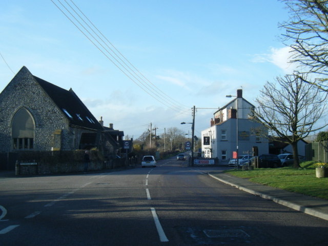
Coombe Dingle is a suburb of Bristol, England, centred near where the Hazel Brook tributary of the River Trym emerges from a limestone gorge bisecting...
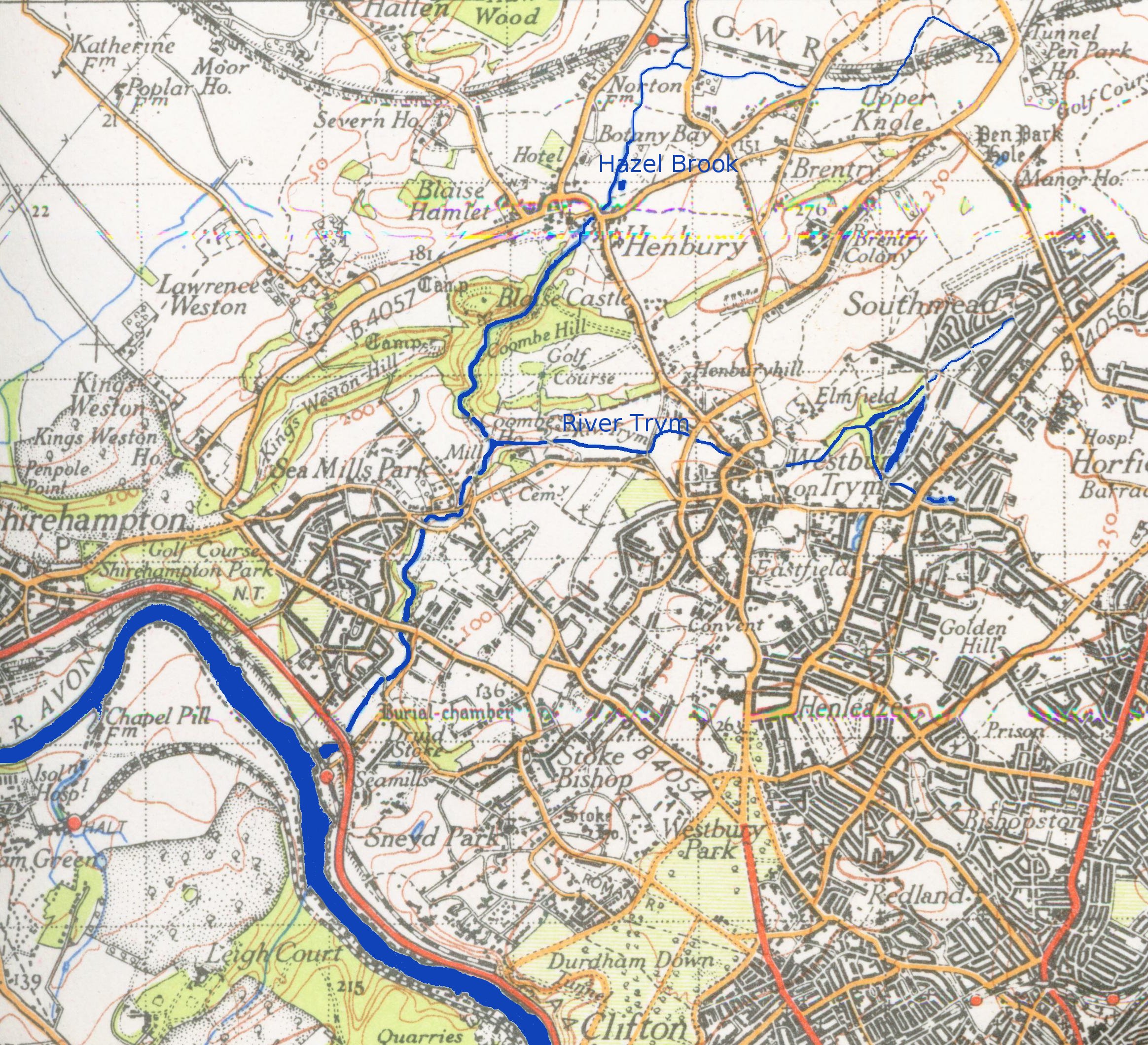
Hazel Brook
The Hazel Brook, also known as the Hen, is a tributary of the River Trym in Bristol, England. It rises at Cribbs Causeway in South Gloucestershire. From...

Bristol Gateway School
Bristol Gateway School is a special needs school located in Lawrence Weston, Bristol, England. The head teacher is Kaye Palmer-Green. The school used to...
St Bede's Catholic College
St Bede's Catholic College is a secondary school located in Lawrence Weston, Bristol, England. Since November 2011 it has been an Academy. The school also...
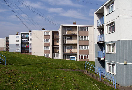
Lawrence Weston, Bristol
Lawrence Weston is a post-war housing estate in northwest Bristol, England, between Henbury and Shirehampton. The estate is bounded in the east by the...

Blaise Castle Estate
Blaise Castle is a folly built in 1766 near Henbury in Bristol, England. The castle sits within the Blaise Castle Estate, which also includes Blaise Castle...
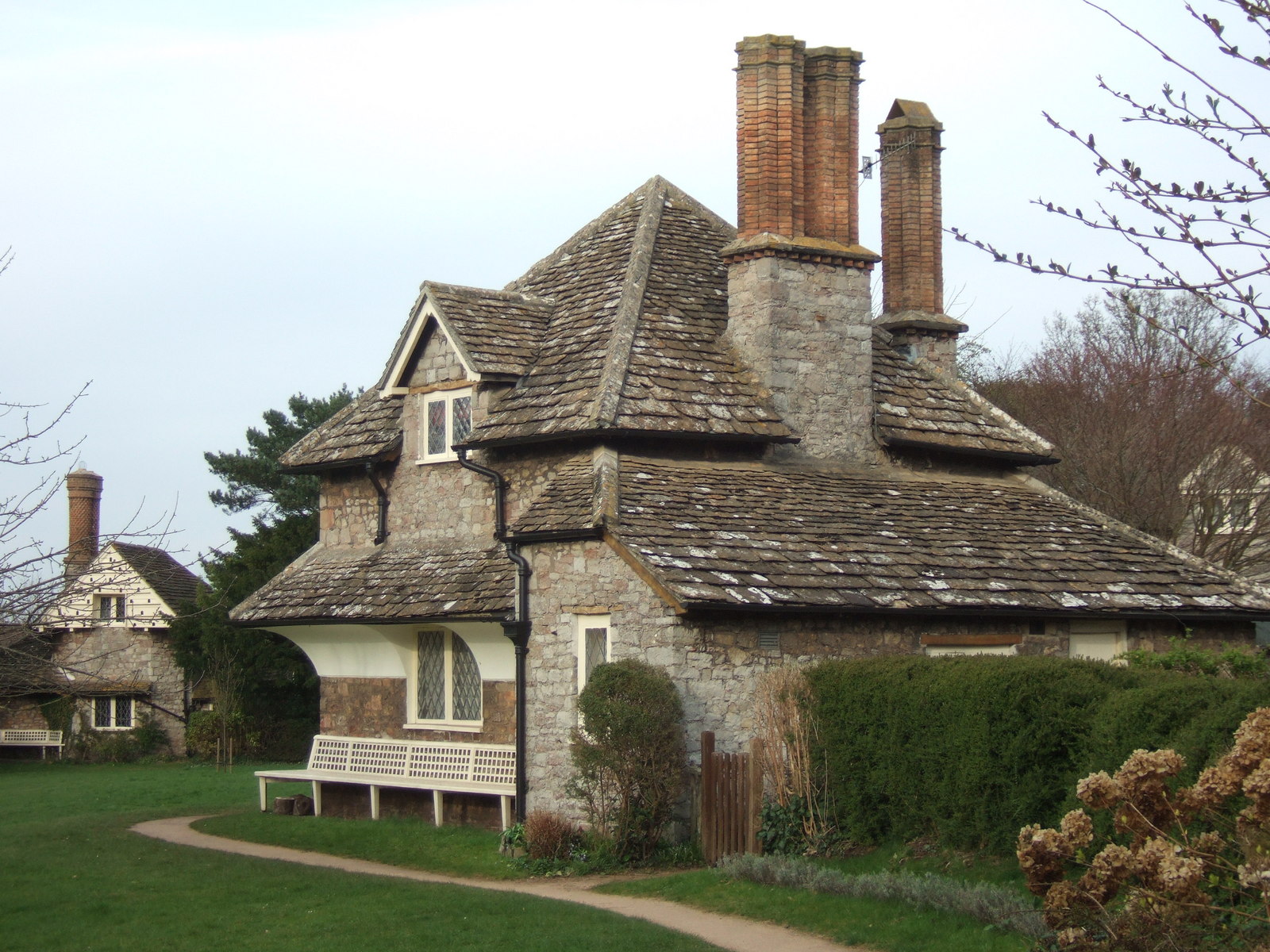
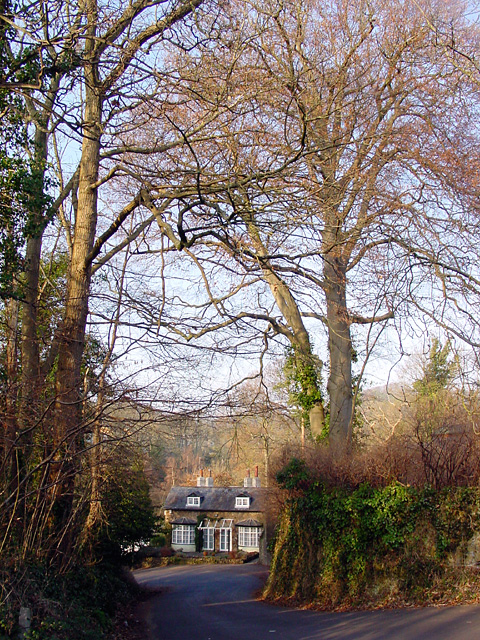
Diamond Cottage
Diamond Cottage is a rustic cottage designed by John Nash (1752–1835) and George Stanley Repton (died 1858) in Blaise Hamlet, Bristol, England. The picturesque...
Nearby Amenities
Located within 500m of 51.500374,-2.6453699Have you been to Limekiln Wood?
Leave your review of Limekiln Wood below (or comments, questions and feedback).