Birks Wood

Wood, Forest in Westmorland South Lakeland

England

Birks Wood

M6 northbound near Goose Green
M6 northbound near Goose Green Credit: Alpin Stewart

Birks Wood is a picturesque forest located in Westmorland, a county in the North West of England. Covering an area of approximately 200 acres, this enchanting woodland is nestled within the stunning landscape of the Lake District National Park.

The wood is characterized by its diverse range of tree species, including oak, beech, birch, and ash, creating a rich tapestry of colors throughout the seasons. The forest floor is carpeted with a variety of wildflowers, adding to the natural beauty of the surroundings.

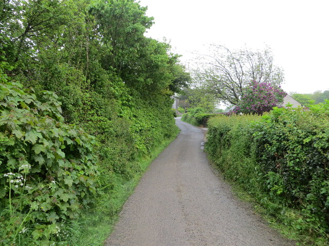
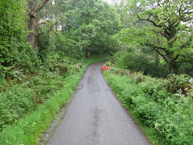
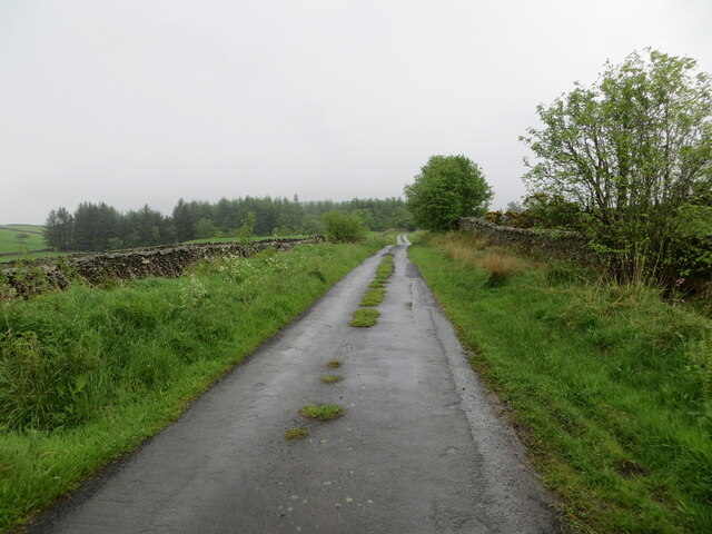
With its well-maintained footpaths and trails, Birks Wood offers visitors the opportunity to explore its hidden treasures. The paths wind through the dense woodland, leading to secluded streams, peaceful glades, and tranquil ponds. The sound of birdsong fills the air, as numerous bird species, such as woodpeckers and warblers, call this forest their home.

The wood has a fascinating history, dating back centuries. It was originally part of the ancient hunting grounds of local nobility and has since been preserved as a protected area. Today, it serves as an important habitat for a wide range of wildlife, including deer, foxes, and badgers.

Birks Wood is a popular destination for nature enthusiasts and outdoor lovers alike. It offers a peaceful retreat from the hustle and bustle of everyday life, making it an ideal spot for walking, birdwatching, and photography. Whether you are seeking solitude or an adventure in nature, Birks Wood is sure to captivate your senses and provide a memorable experience.

If you have any feedback on the listing, please let us know in the comments section below.
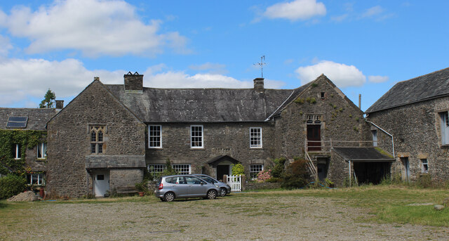
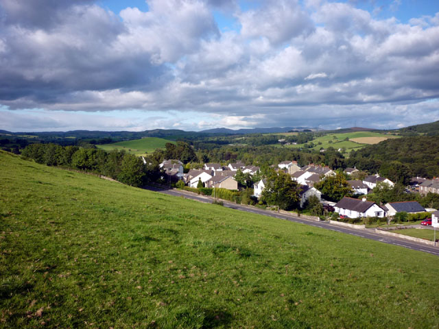
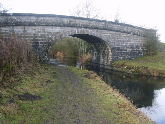
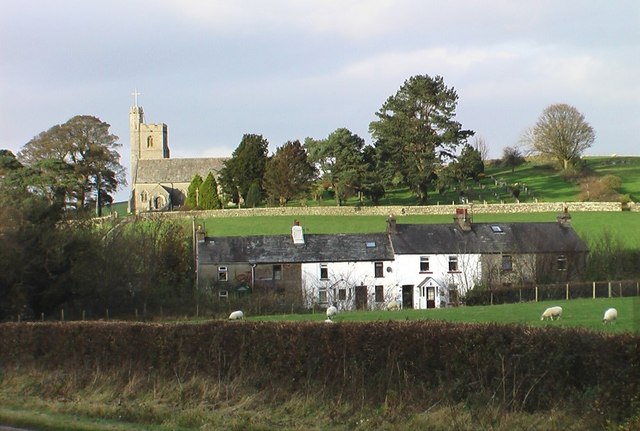
Birks Wood Images

Images are sourced within 2km of 54.256788/-2.6896377 or Grid Reference SD5584. Thanks to Geograph Open Source API. All images are credited.

M6 northbound near Goose Green
Bridge over M6 northbound
M6 North of Junction 36 The M6 motorway runs from junction 19 of the M1 at the Catthorpe Interchange, near Rugby to the Gretna junction (J45). Here it becomes the A74(M) and M74 which continues to Glasgow.

The M6 is the longest motorway in the United Kingdom (232 miles) and one of the busiest. It incorporates the first length of motorway opened in the UK (the Preston bypass in 1958) and forms part of a motorway "Backbone of Britain", running north-south between London and Glasgow via the industrial north of England. It is also part of the east-west route between the Midlands and the east coast ports.
M6 North of Junction 36
The M6 motorway runs from junction 19 of the M1 at the Catthorpe Interchange, near Rugby to the Gretna junction (J45). Here it becomes the A74(M) and M74 which continues to Glasgow. The M6 is the longest motorway in the United Kingdom (232 miles) and one of the busiest. It incorporates the first length of motorway opened in the UK (the Preston bypass in 1958) and forms part of a motorway "Backbone of Britain", running north-south between London and Glasgow via the industrial north of England. It is also part of the east-west route between the Midlands and the east coast ports.
Bridge  - M6 northbound
Bridge - M6 northbound
Hedge-lined minor road near to Black Yeats Looking south-westward.
Hedge-lined minor road near to Black Yeats
Looking south-westward.
Minor road at Hellgill Bridge Looking southward. The bridge parapet awaits repair.
Minor road at Hellgill Bridge
Looking southward. The bridge parapet awaits repair.
Wall enclosed minor road near to Warth Looking eastward.
Wall enclosed minor road near to Warth
Looking eastward.
Grazing land west of Endmoor
Stubb Farm, Endmoor
Stubb Farm, Endmoor
Bridleway approaching Cragmire Plantation Running below the western flanks of Scout Hill towards a plantation of sparse scattered Scots Pine.
Bridleway approaching Cragmire Plantation
Running below the western flanks of Scout Hill towards a plantation of sparse scattered Scots Pine.
Path leading up to the minor road near Hellgill Bridge Public footpath follows the hedgerow - heavily churned up, making for awkward progress.
Path leading up to the minor road near Hellgill Bridge
Public footpath follows the hedgerow - heavily churned up, making for awkward progress.
Country Lane above Elmtree Gill
Preston Patrick Hall Grade II* Listed Building dating back, probably, to the 14th century - comprising  a medieval pele tower incorporated into the structure in the 17th century. Now part of a working farm.
Preston Patrick Hall
Grade II* Listed Building dating back, probably, to the 14th century - comprising a medieval pele tower incorporated into the structure in the 17th century. Now part of a working farm.
Outbuilding at Preston Patrick Hall
Tunnel under the M6 at Preston Patrick
Camsgill Dwelling above Hellgill Beck in the scattered community of Preston Patrick
Camsgill
Dwelling above Hellgill Beck in the scattered community of Preston Patrick
St. Patrick's Church, Crooklands Located on St. Gregory's Hill, in the scattered parish of Preston Patrick. Dating back from 1852, replacing an earlier chapel.
St. Patrick's Church, Crooklands
Located on St. Gregory's Hill, in the scattered parish of Preston Patrick. Dating back from 1852, replacing an earlier chapel.
Footpath heading over St. Gregory's Hill The footpath follows the wall, passing St. Patrick's Church, before descending to the A65 in Crooklands.
Footpath heading over St. Gregory's Hill
The footpath follows the wall, passing St. Patrick's Church, before descending to the A65 in Crooklands.
Show me another place!

Birks Wood is located at Grid Ref: SD5584 (Lat: 54.256788, Lng: -2.6896377)

Administrative County: Cumbria

District: South Lakeland

Police Authority: Cumbria

What 3 Words

///hairstyle.fizzled.portable. Near Milnthorpe, Cumbria

Related Wikis

Endmoor

Endmoor is a small village within Cumbria, England, situated close to the A65 road. It is about 5 miles (8 km) from Kendal, just south of Oxenholme, and...

Preston Patrick

Preston Patrick is a village and civil parish in South Lakeland, Cumbria, England. It has junction 36 of the M6 motorway in its south west corner and extends...

Preston Richard

Preston Richard is a civil parish in South Lakeland, Cumbria, England. It includes the village of Endmoor, and the hamlets of Crooklands, Birkrigg Park...

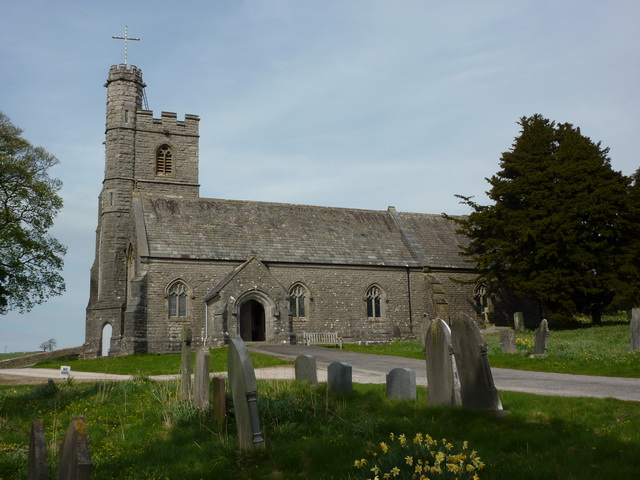
St Patrick's Church, Preston Patrick

St Patrick's Church is the parish church of Preston Patrick, Cumbria, England. It is an active Anglican church, one of eight parish churches served by...

Crooklands

Crooklands is a village in South Lakeland, Cumbria, England, 4.5 miles (7.2 km) south of Kendal on the A65 road. Historically part of Westmorland, the...

Westmorland County Agricultural Society

The Westmorland County Agricultural Society (WCAS, established 1799) is a registered charity which supports agriculture and related activities in and around...

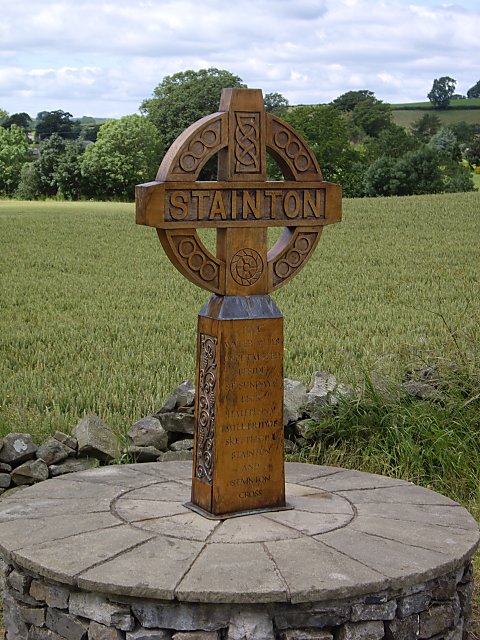
Stainton, south Cumbria

Stainton is a village and a civil parish in the Westmorland and Furness district of Cumbria, England. It is near the village of Sedgwick and the town of...

Halfpenny, Cumbria

Halfpenny is a hamlet in the civil parish of Stainton, in the South Lakeland district, in the county of Cumbria, England. It is located roughly two and...

Nearby Amenities

Located within 500m of 54.256788,-2.6896377
Ford: yes
Lat/Long: 54.2581892/-2.6928787
Post Box
Ref: LA7 237
Source: survey
Lat/Long: 54.2568431/-2.6966872
Phone
Emergency: phone
Lat/Long: 54.258881/-2.6862439
Phone
Emergency: phone
Lat/Long: 54.2590388/-2.6868381
Man Made: street_cabinet
Lat/Long: 54.2541977/-2.6934974
Man Made: street_cabinet
Lat/Long: 54.2535036/-2.6946909
Man Made: street_cabinet
Lat/Long: 54.2534627/-2.6945509
Man Made: street_cabinet
Lat/Long: 54.2535234/-2.6945098
Location Transition: yes
Material: wood
Power: pole
Lat/Long: 54.2536229/-2.6948797
Give Way
Direction: forward
Lat/Long: 54.2541419/-2.6871068
Power: pole
Lat/Long: 54.2536542/-2.6886546
Power: pole
Lat/Long: 54.2537469/-2.6874058
Power: pole
Lat/Long: 54.253189/-2.6856135
Power: pole
Lat/Long: 54.2535461/-2.6906173
Power: pole
Lat/Long: 54.2534568/-2.6919102
Location Transition: yes
Power: pole
Lat/Long: 54.2536834/-2.6927446
The data included in this document is from www.openstreetmap.org. The data is made available under ODbL.

Have you been to Birks Wood?

Leave your review of Birks Wood below (or comments, questions and feedback).