Camsgill Barn Plantation

Wood, Forest in Westmorland South Lakeland

England

Camsgill Barn Plantation

Nook Lane the junction of Puddlemire Lane with Nook Lane.
Nook Lane Credit: Peter McDermott

Camsgill Barn Plantation is a picturesque woodland located in Westmorland, a historic county in the northwest region of England. The plantation is situated in the heart of the Lake District National Park, renowned for its stunning natural beauty and diverse wildlife.

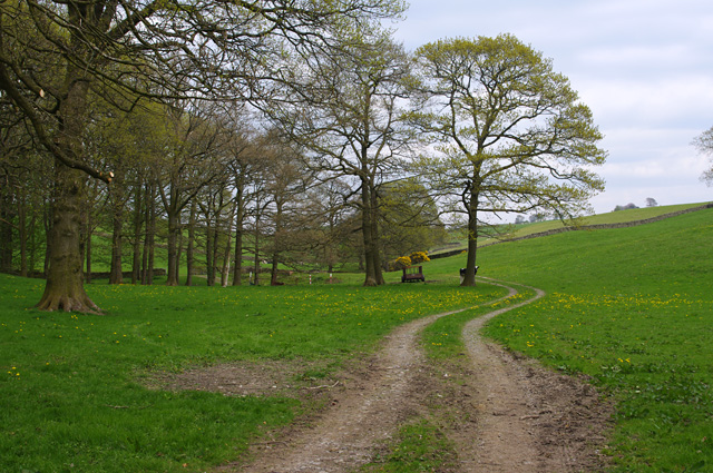
Covering an area of approximately 200 acres, Camsgill Barn Plantation is primarily made up of deciduous trees, including oak, beech, and ash. These trees provide a vibrant display of colors during the autumn season, attracting many visitors who come to witness the breathtaking foliage. The woodland is also home to a variety of wildlife, such as red squirrels, roe deer, and a plethora of bird species, making it a popular destination for nature enthusiasts and birdwatchers.

The plantation offers several walking trails and paths, allowing visitors to explore its enchanting surroundings. These trails vary in difficulty, catering to both casual strollers and avid hikers. Along the way, visitors can enjoy the tranquility of the woodland, breathe in the fresh air, and listen to the soothing sounds of nature.

Camsgill Barn Plantation also has a rich historical significance. It is believed to have been used as a hunting ground for the local gentry during the medieval period. Today, remnants of ancient stone walls and boundaries can still be seen within the woodland, serving as a reminder of its past.

Overall, Camsgill Barn Plantation is a beautiful and serene woodland, offering a peaceful escape for those seeking solace in nature. With its stunning scenery, diverse wildlife, and historical charm, it is undeniably a cherished gem within the Westmorland countryside.

If you have any feedback on the listing, please let us know in the comments section below.

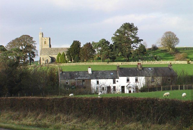
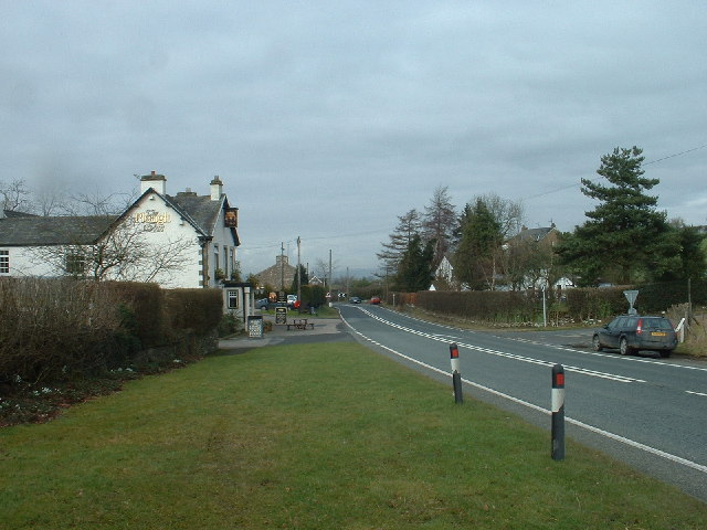
Camsgill Barn Plantation Images

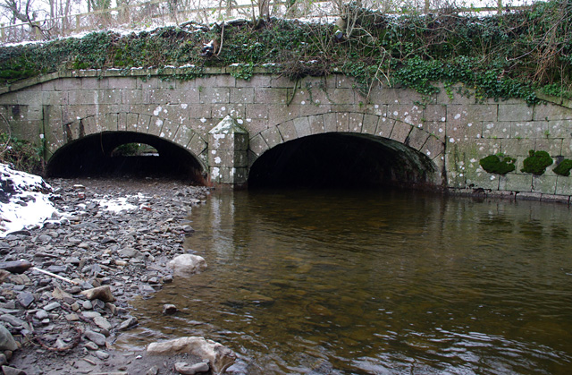
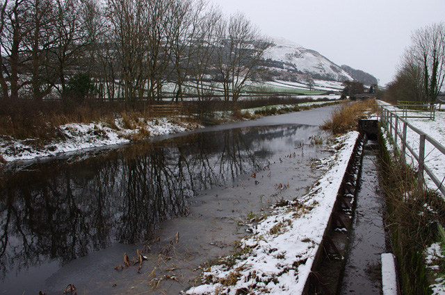
Images are sourced within 2km of 54.24107/-2.6894521 or Grid Reference SD5583. Thanks to Geograph Open Source API. All images are credited.

Nook Lane the junction of Puddlemire Lane with Nook Lane.
Nook Lane
the junction of Puddlemire Lane with Nook Lane.
Preston Patrick in winter View across fields to School Houses and St. Patrick's Church.
Preston Patrick in winter
View across fields to School Houses and St. Patrick's Church.
Crooklands Aqueduct, Lancaster Canal Bridge 165, over Peasey Beck.
Crooklands Aqueduct, Lancaster Canal
Bridge 165, over Peasey Beck.
Lancaster Canal Winding hole and Dovehouses Bridge (161) in winter.
Farleton Fell is in the background.
Lancaster Canal
Winding hole and Dovehouses Bridge (161) in winter. Farleton Fell is in the background.
Lancaster Canal Winding hole north of Dovehouses Bridge (161) in winter.
Lancaster Canal
Winding hole north of Dovehouses Bridge (161) in winter.
Lancaster Canal overflow Water is overflowing into Farleton Beck at the far end of the weir. I presume the overflow level was lowered after this section of canal was closed.
Lancaster Canal overflow
Water is overflowing into Farleton Beck at the far end of the weir. I presume the overflow level was lowered after this section of canal was closed.
Lancaster Canal aqueduct and overflow Bridge 170 over Farleton Beck. Water is overflowing from the canal on the left.
Lancaster Canal aqueduct and overflow
Bridge 170 over Farleton Beck. Water is overflowing from the canal on the left.
Dovehouses Lane Lane to Dove House Farm.
Dovehouses Lane
Lane to Dove House Farm.
New roundabout on the A6070 Built to serve a new industrial unit off to the right.

The picture was taken from the offices seen here: <a href="https://www.geograph.org.uk/photo/4264610">SD5382 : Units at the Moss End Business Village</a>
New roundabout on the A6070
Built to serve a new industrial unit off to the right. The picture was taken from the offices seen here: SD5382 : Units at the Moss End Business Village
Weirs on Peasey Beck A leat from the upper weir supplies water to the Lancaster Canal.
Weirs on Peasey Beck
A leat from the upper weir supplies water to the Lancaster Canal.
Weir on Peasey Beck A leat from above this weir supplies water to the Lancaster Canal.
Weir on Peasey Beck
A leat from above this weir supplies water to the Lancaster Canal.
Site of tramway bridge A horse-drawn tramway, built in 1874 and abandoned in 1937, connected the Gatebeck gunpowder works with Wakefield's Wharf on the Lancaster Canal <a href="https://www.geograph.org.uk/photo/4271303">SD5383 : Lancaster Canal, Crooklands</a>, and Milnthorpe station.
Here, the abutments of a skew bridge across Peasey Beck are still visible (on left, and across beck at  centre right).
Site of tramway bridge
A horse-drawn tramway, built in 1874 and abandoned in 1937, connected the Gatebeck gunpowder works with Wakefield's Wharf on the Lancaster Canal SD5383 : Lancaster Canal, Crooklands, and Milnthorpe station. Here, the abutments of a skew bridge across Peasey Beck are still visible (on left, and across beck at centre right).
Route of tramway A horse-drawn tramway, built in 1874 and abandoned in 1937, connected the Gatebeck gunpowder works with Wakefield's Wharf on the Lancaster Canal, and Milnthorpe station.
Behind the camera, the tramway crossed Peasey Beck <a href="https://www.geograph.org.uk/photo/4942095">SD5484 : Site of tramway bridge</a>.
Route of tramway
A horse-drawn tramway, built in 1874 and abandoned in 1937, connected the Gatebeck gunpowder works with Wakefield's Wharf on the Lancaster Canal, and Milnthorpe station. Behind the camera, the tramway crossed Peasey Beck SD5484 : Site of tramway bridge.
Challon Hall Bridge This bridge carries a minor road over Peasey Beck, and is currently closed due to flood damage.
This photo does not show that the abutment on the left (right bank) has been seriously undermined and has temporary supports (acro props) in place.
Challon Hall Bridge
This bridge carries a minor road over Peasey Beck, and is currently closed due to flood damage. This photo does not show that the abutment on the left (right bank) has been seriously undermined and has temporary supports (acro props) in place.
Goose Green Birks Beck is in the foreground. It appears that some clearance of the beck bed has recently taken place.
Goose Green
Birks Beck is in the foreground. It appears that some clearance of the beck bed has recently taken place.
Goose Green Rolling farmland.
Goose Green
Rolling farmland.
Track skirting Oak Wood A cow hides behind a tree.
Track skirting Oak Wood
A cow hides behind a tree.
Gate and gorse This inspection gate reveals the route of the Thirlmere Aqueduct.
Gate and gorse
This inspection gate reveals the route of the Thirlmere Aqueduct.
Show me another place!

Camsgill Barn Plantation is located at Grid Ref: SD5583 (Lat: 54.24107, Lng: -2.6894521)

Administrative County: Cumbria

District: South Lakeland

Police Authority: Cumbria

What 3 Words

///microfilm.dozens.album. Near Milnthorpe, Cumbria

Related Wikis

Preston Patrick

Preston Patrick is a village and civil parish in South Lakeland, Cumbria, England. It has junction 36 of the M6 motorway in its south west corner and extends...

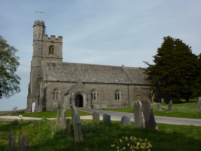
St Patrick's Church, Preston Patrick

St Patrick's Church is the parish church of Preston Patrick, Cumbria, England. It is an active Anglican church, one of eight parish churches served by...

Crooklands

Crooklands is a village in South Lakeland, Cumbria, England, 4.5 miles (7.2 km) south of Kendal on the A65 road. Historically part of Westmorland, the...

Lupton, Cumbria

Lupton is a linear village and civil parish in the South Lakeland district of Cumbria, England, along the main A65 road north west of Kirkby Lonsdale,...

Nearby Amenities

Located within 500m of 54.24107,-2.6894521
Ford: yes
Lat/Long: 54.2366893/-2.6885264
Power: pole
Lat/Long: 54.2437308/-2.694744
Power: pole
Lat/Long: 54.2432841/-2.6940463
Pole Type: termination
Power: pole
Lat/Long: 54.2428907/-2.6934257
Great Hill
Natural: peak
Lat/Long: 54.2415602/-2.6862807
Howe Hill
Natural: peak
Lat/Long: 54.2368726/-2.6921425
Give Way
Direction: forward
Lat/Long: 54.2408372/-2.693093
The data included in this document is from www.openstreetmap.org. The data is made available under ODbL.

Have you been to Camsgill Barn Plantation?

Leave your review of Camsgill Barn Plantation below (or comments, questions and feedback).