Cockshoot Wood
Wood, Forest in Lancashire Preston
England
Cockshoot Wood

Cockshoot Wood is a picturesque woodland located in the county of Lancashire, England. Spanning approximately 50 hectares, it is situated near the village of Tarleton, just west of the River Ribble.
The woodland is primarily composed of native broadleaf species, such as oak, birch, and beech trees. These trees form a dense canopy that provides shade and shelter for a diverse range of flora and fauna. The forest floor is covered in a thick layer of leaf litter, creating a rich habitat for woodland plants, including bluebells and wood anemones, which bloom in the spring.
Cockshoot Wood is a popular destination for nature lovers, hikers, and photographers. It offers a network of well-maintained trails, allowing visitors to explore the forest and observe its natural beauty up close. The tranquil atmosphere and the abundance of wildlife, including squirrels, foxes, and various bird species, make it an ideal spot for birdwatching and wildlife photography.
The woodland is also home to a variety of fungi, with numerous species of mushrooms and toadstools thriving in the damp and shaded environment. This makes it a haven for amateur mycologists and foragers interested in edible mushrooms.
Overall, Cockshoot Wood is a cherished natural asset in Lancashire, providing a peaceful sanctuary for both humans and wildlife alike. Its diverse ecosystem and scenic beauty make it a must-visit destination for those seeking to immerse themselves in the wonders of nature.
If you have any feedback on the listing, please let us know in the comments section below.
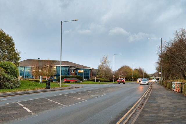
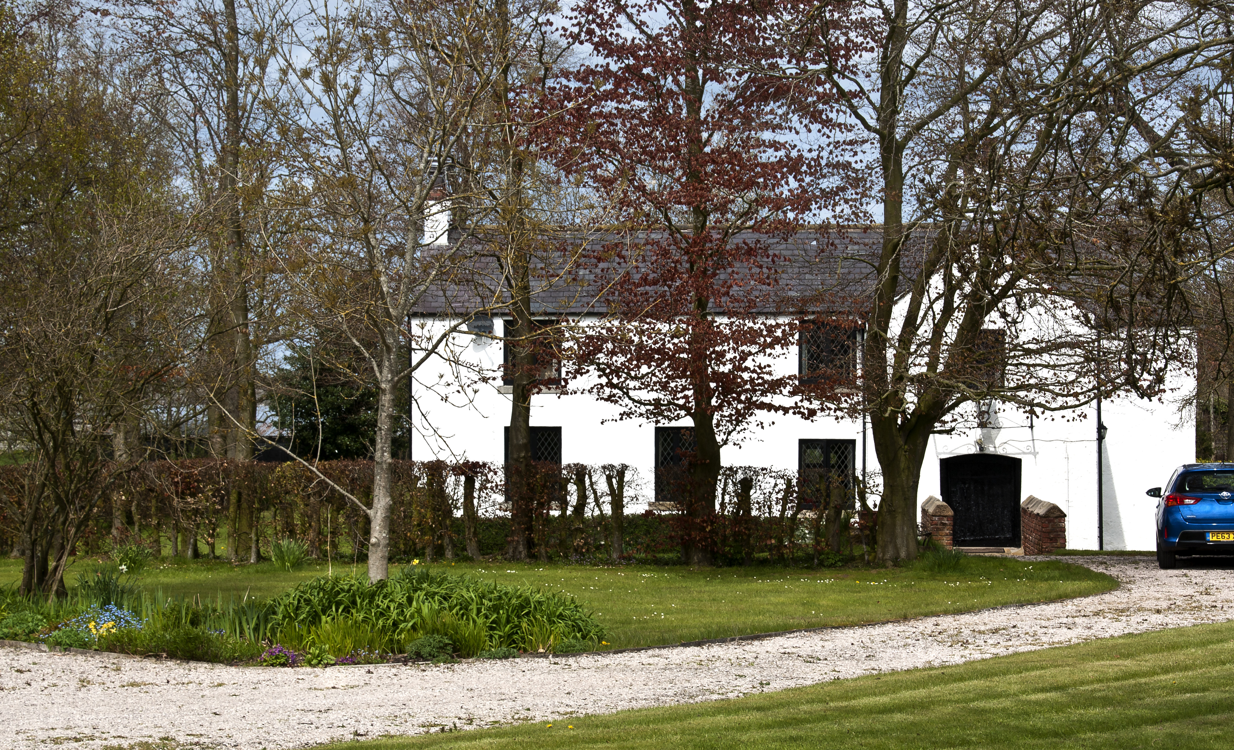
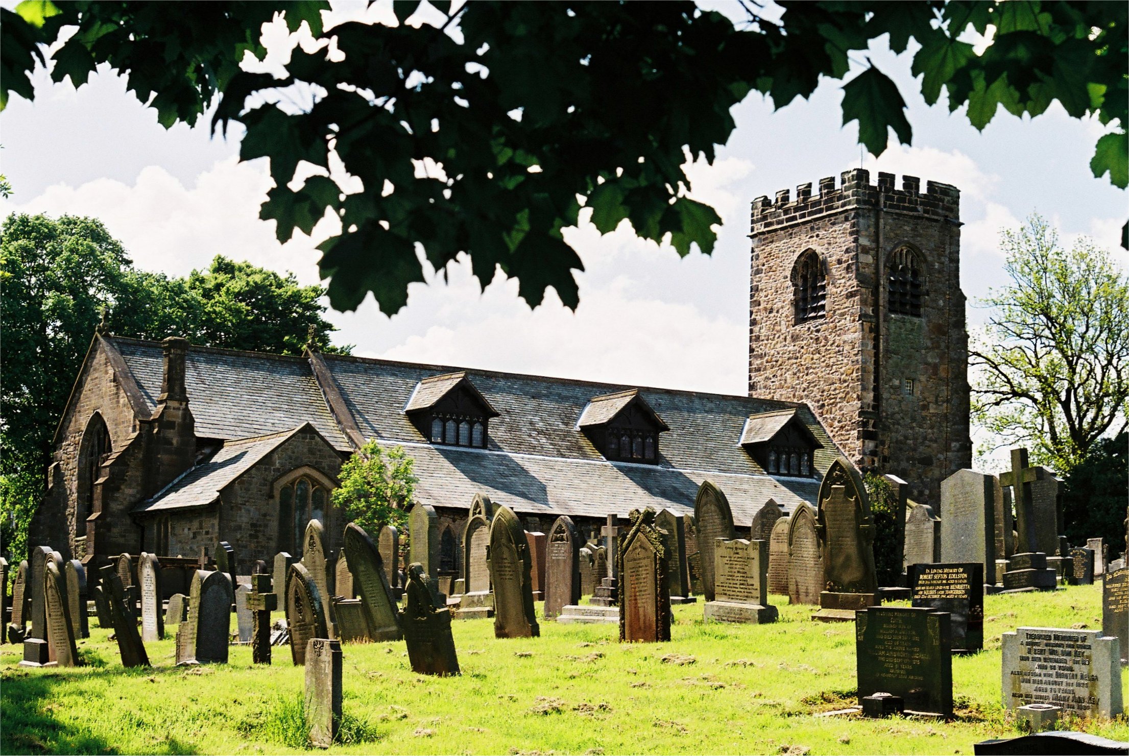
Cockshoot Wood Images
Images are sourced within 2km of 53.809678/-2.6840062 or Grid Reference SD5535. Thanks to Geograph Open Source API. All images are credited.


Cockshoot Wood is located at Grid Ref: SD5535 (Lat: 53.809678, Lng: -2.6840062)
Administrative County: Lancashire
District: Preston
Police Authority: Lancashire
What 3 Words
///toxic.sober.price. Near Goosnargh, Lancashire
Nearby Locations
Related Wikis
Chingle Hall
Chingle Hall is a grade II listed manor house in the township of Whittingham near Preston, England. == History == Originally, the land where Chingle Hall...
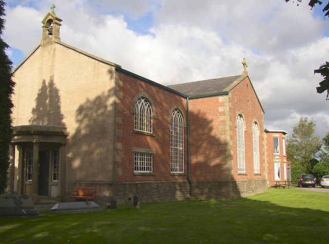
St Mary's Church, Fernyhalgh
St Mary's Church is in Fernyhalgh Lane, Broughton, Lancashire, England. It is a Roman Catholic church located near the shrine at Ladyewell House. The church...

Haighton
Haighton is a civil parish in the City of Preston, Lancashire, England. It is a rural area north east of the urban city of Preston, beyond Fulwood and...
Goosnargh
Goosnargh ( GOOZ-nər) is a village and civil parish in the City of Preston district of Lancashire, England. The village lies between Broughton and Longridge...
Nearby Amenities
Located within 500m of 53.809678,-2.6840062Have you been to Cockshoot Wood?
Leave your review of Cockshoot Wood below (or comments, questions and feedback).