Bessygill Wood
Wood, Forest in Westmorland Eden
England
Bessygill Wood
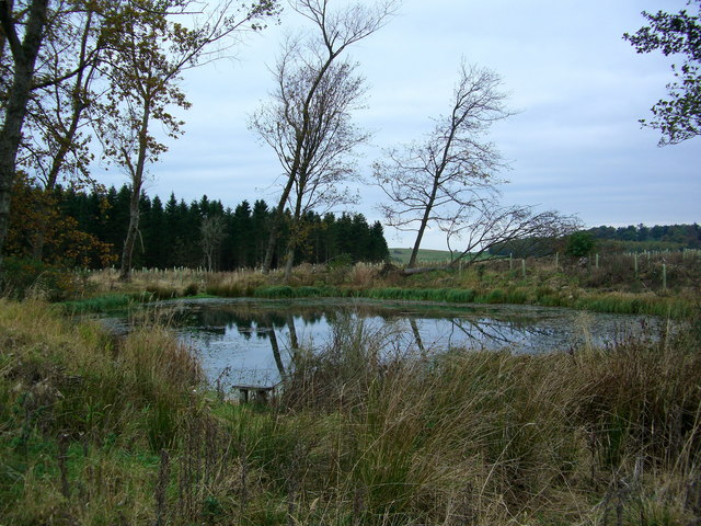
Bessygill Wood is a picturesque woodland located in the county of Westmorland, England. Spread across an area of approximately 100 acres, this ancient forest is known for its natural beauty and diverse range of flora and fauna.
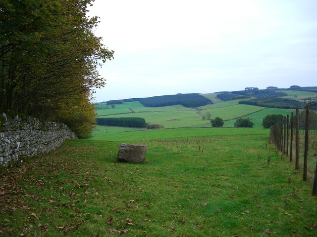
Situated near the village of Kirkby Stephen, Bessygill Wood is nestled within the rolling hills and valleys of the Westmorland Dales. The woodland is primarily composed of native broadleaf trees, including oak, ash, birch, and beech, which create a stunning canopy throughout the year.
The forest floor is adorned with a colorful carpet of wildflowers, such as bluebells, primroses, and wood anemones, which bloom during the spring months. The vibrant display of these flowers attracts a variety of insects, including butterflies and bees, making Bessygill Wood an important habitat for pollinators.
The wood is also home to a diverse range of wildlife. Visitors may spot various bird species, including woodpeckers, thrushes, and owls, as well as small mammals like badgers, squirrels, and rabbits. The tranquil atmosphere and abundance of wildlife make Bessygill Wood a popular destination for nature lovers, hikers, and birdwatchers.
Trails and paths wind their way through the woodland, allowing visitors to explore the area and take in the breathtaking scenery. The forest also features a picnic area, providing a perfect spot for visitors to relax and enjoy a meal amidst the peaceful surroundings.
Overall, Bessygill Wood is a haven of natural beauty and biodiversity, offering a tranquil escape from the hustle and bustle of everyday life.
If you have any feedback on the listing, please let us know in the comments section below.
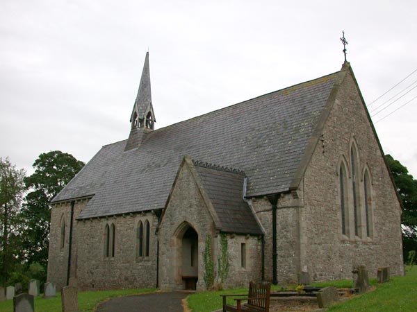
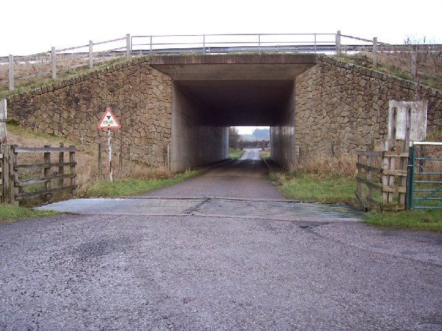
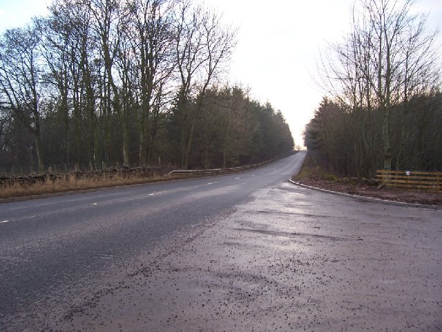
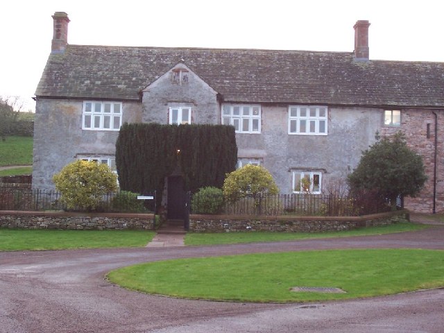
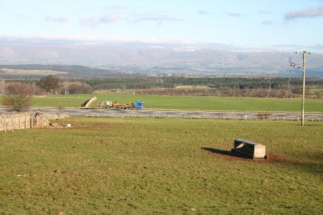
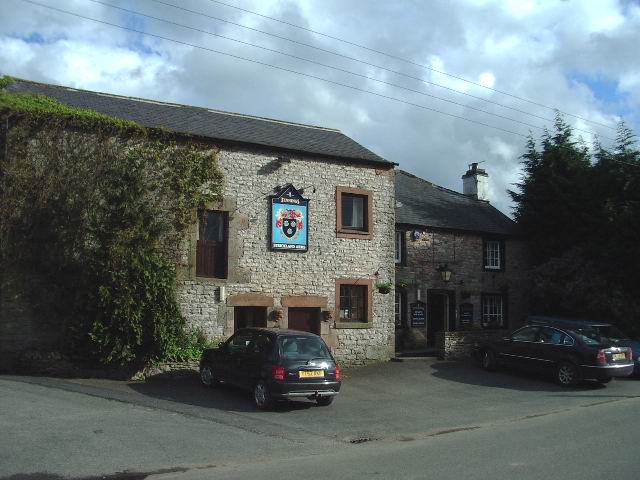
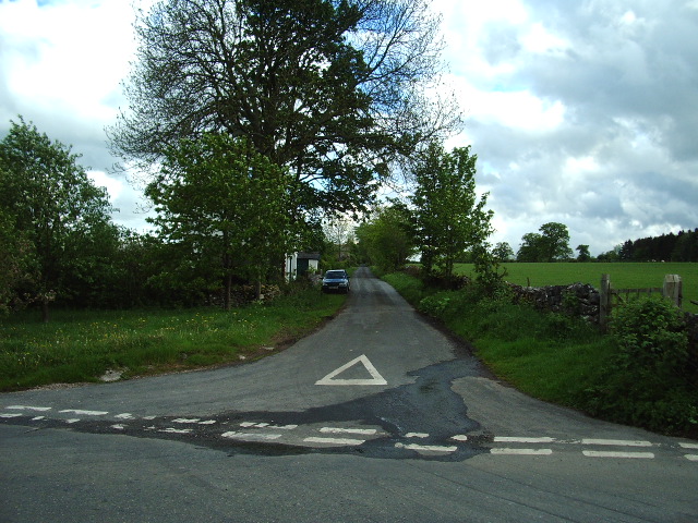
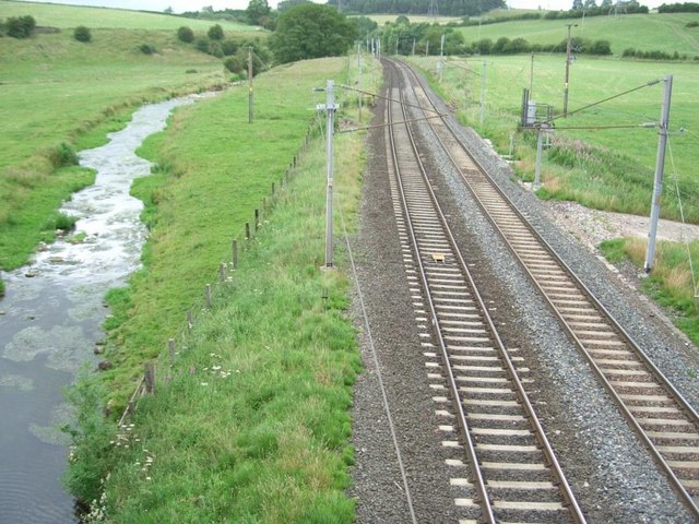
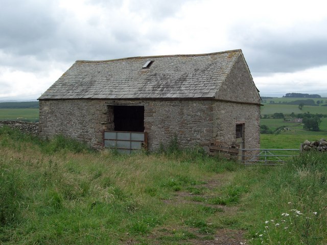
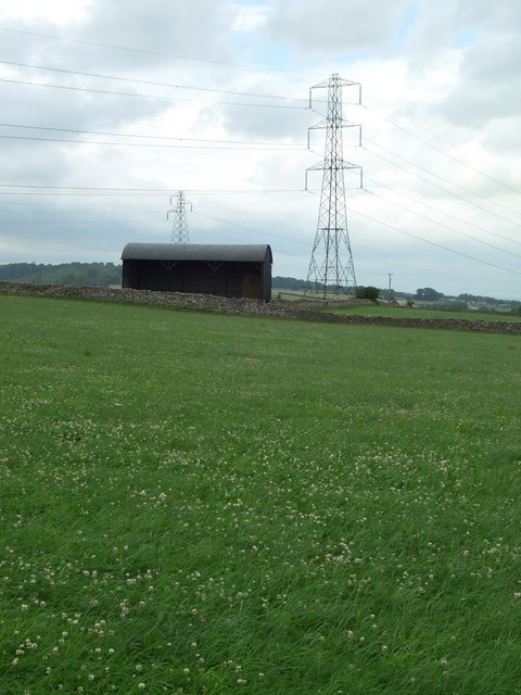
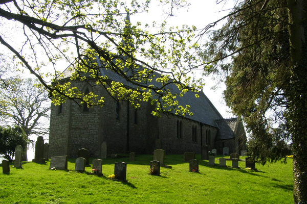
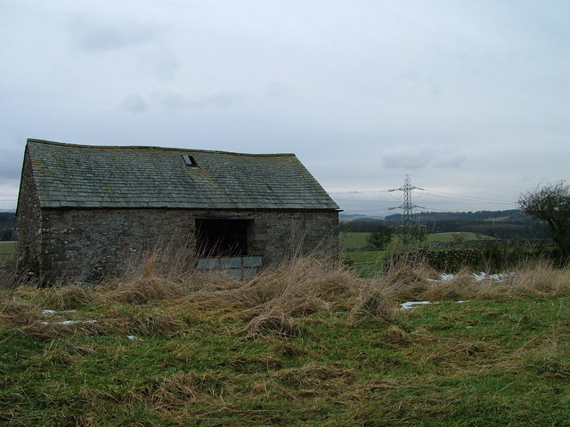
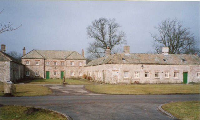
Bessygill Wood Images
Images are sourced within 2km of 54.587226/-2.6983974 or Grid Reference NY5421. Thanks to Geograph Open Source API. All images are credited.

Bessygill Wood is located at Grid Ref: NY5421 (Lat: 54.587226, Lng: -2.6983974)
Administrative County: Cumbria
District: Eden
Police Authority: Cumbria
What 3 Words
///router.plates.rebel. Near Shap, Cumbria
Nearby Locations
Related Wikis

Thrimby
Thrimby is a hamlet and former civil parish, now in the parish of Little Strickland, in the Eden district of Cumbria, England. In 2001 the population of...

Leath
Leath was one of the wards of the historic county of Cumberland in north west England. Unlike most other English counties, Cumberland was divided into...

Hackthorpe
Hackthorpe is a hamlet in the Eden district, in the county of Cumbria, England. Circa 1870, it had a population of 110 as recorded in the Imperial Gazetteer...

Great Strickland
Great Strickland is a village and civil parish in the Eden Valley between the Cumbrian mountains in the west and the Pennines in the east. It is 5 miles...
Lowther, Cumbria
Lowther is a civil parish in Westmorland and Furness, Cumbria. Within the parish are the settlements of Lowther Village, Newtown or Lowther Newtown, Hackthorpe...

Little Strickland
Little Strickland is a small village and civil parish in the Eden district of Cumbria, England. It is about 7 miles (11 km) from Penrith and 8 miles...

Whale, Cumbria
Whale is a hamlet in the Westmorland and Furness unitary authority area, Cumbria, England. Historically in Westmorland, it is about a mile south of the...

Knipescar Common
Knipescar Common, or Knipe Scar, is an upland area in the east of the English Lake District, above the River Lowther, near Bampton, Cumbria. It is the...
Nearby Amenities
Located within 500m of 54.587226,-2.6983974Have you been to Bessygill Wood?
Leave your review of Bessygill Wood below (or comments, questions and feedback).