Highmeadow Woods
Wood, Forest in Gloucestershire Forest of Dean
England
Highmeadow Woods

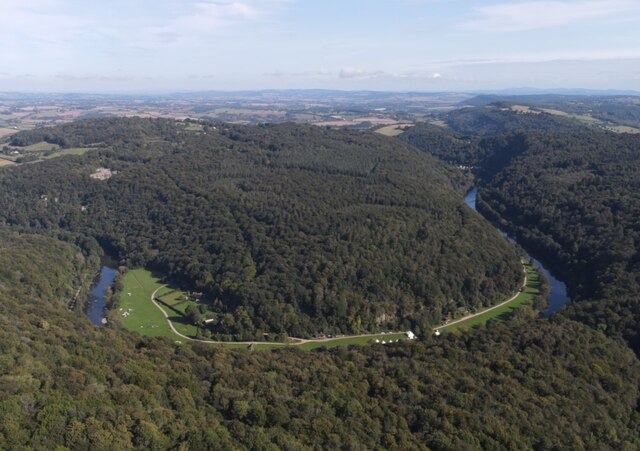
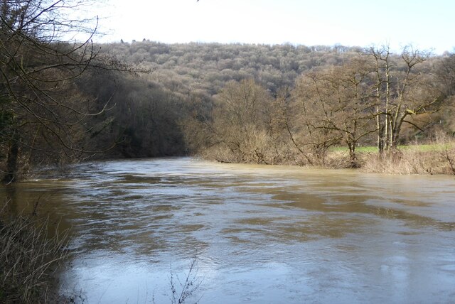
Highmeadow Woods is a picturesque woodland located in the county of Gloucestershire, England. Situated in the heart of the Cotswolds, this enchanting forest covers an area of approximately 100 acres, offering visitors a tranquil escape from the bustling city life.
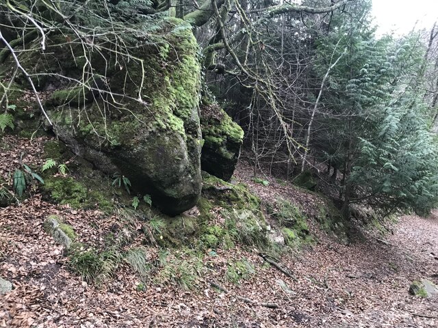
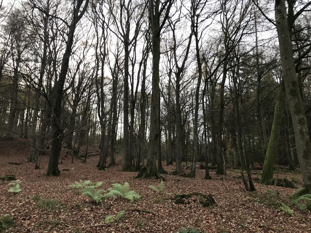
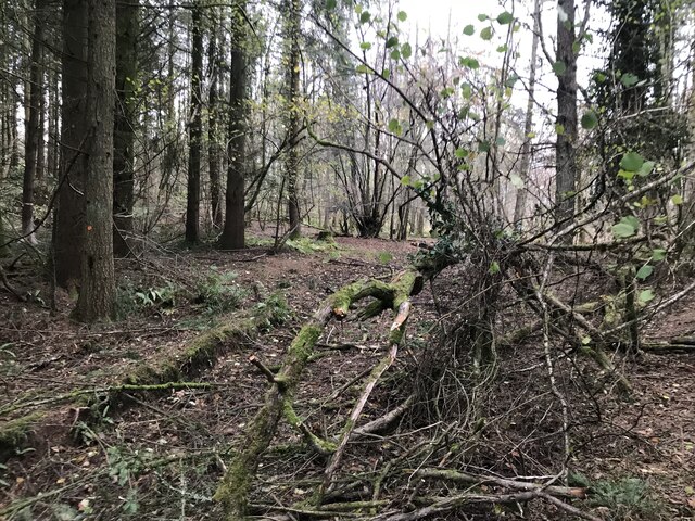
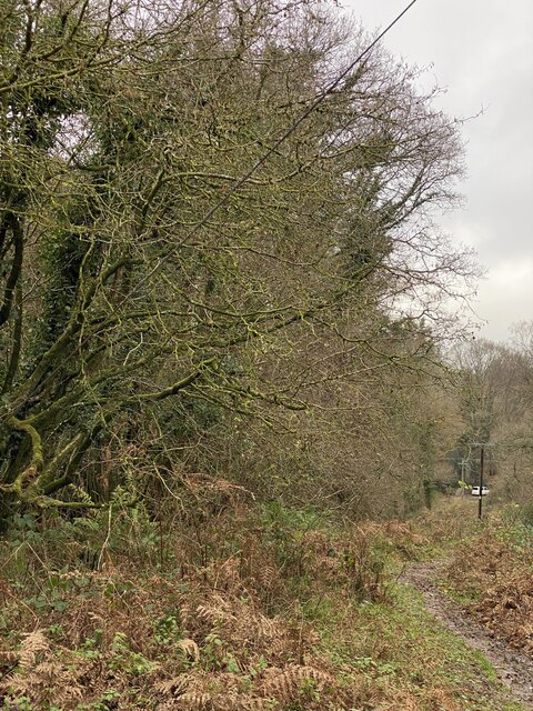
The woods are primarily composed of a diverse mix of deciduous and coniferous trees, including oak, beech, ash, and pine. The tall, majestic trees provide a dense canopy, creating a sense of seclusion and serenity within the forest. The forest floor is covered in a vibrant carpet of mosses, ferns, and wildflowers, adding to the natural beauty of Highmeadow Woods.
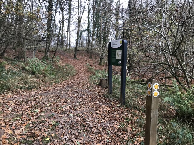
The forest is crisscrossed by a network of well-maintained footpaths and trails, allowing visitors to explore the woods and enjoy the surrounding nature. These paths wind their way through ancient trees, over babbling streams, and past peaceful clearings, providing ample opportunities for walking, hiking, and bird-watching.
Highmeadow Woods is also home to a diverse range of wildlife, including deer, foxes, badgers, and a variety of bird species. Nature enthusiasts can often spot colorful woodpeckers, owls, and various songbirds flitting among the branches.
The forest is popular among locals and tourists alike, offering a peaceful retreat for those seeking solace in nature. Visitors can enjoy a picnic amidst the towering trees, or simply sit and absorb the tranquility of the surroundings.
Highmeadow Woods is a true gem of Gloucestershire, providing a haven of natural beauty and peacefulness for all who venture into its depths.
If you have any feedback on the listing, please let us know in the comments section below.
Highmeadow Woods Images
Images are sourced within 2km of 51.816751/-2.6553508 or Grid Reference SO5413. Thanks to Geograph Open Source API. All images are credited.


Highmeadow Woods is located at Grid Ref: SO5413 (Lat: 51.816751, Lng: -2.6553508)
Administrative County: Gloucestershire
District: Forest of Dean
Police Authority: Gloucestershire
What 3 Words
///bandaged.consented.banter. Near Coleford, Gloucestershire
Nearby Locations
Related Wikis

Staunton (near Coleford)
Staunton is a village and civil parish in the Forest of Dean in west Gloucestershire, England, close to the border with Wales. == Location == Staunton...

Upper Wye Gorge
Upper Wye Gorge is a Site of Special Scientific Interest (SSSI), noted for its biological and geological characteristics, around Symonds Yat in the Wye...

Lady Park Wood National Nature Reserve
Lady Park Wood National Nature Reserve (grid reference SO546144) is a 45-hectare (110-acre) nature reserve straddling the borders of Gloucestershire in...

Stowfield quarry
Stowfield quarry is a quarry in the Forest of Dean about 2 km south of Staunton, near Coleford, Gloucestershire, England. == References ==
Nearby Amenities
Located within 500m of 51.816751,-2.6553508Have you been to Highmeadow Woods?
Leave your review of Highmeadow Woods below (or comments, questions and feedback).