Broomrigg Plantation

Wood, Forest in Cumberland Eden

England

Broomrigg Plantation

Ruckcroft to Broomrigg Road Must remember the extra g in rigg here.  An icy morning.
Ruckcroft to Broomrigg Road Credit: Richard Webb

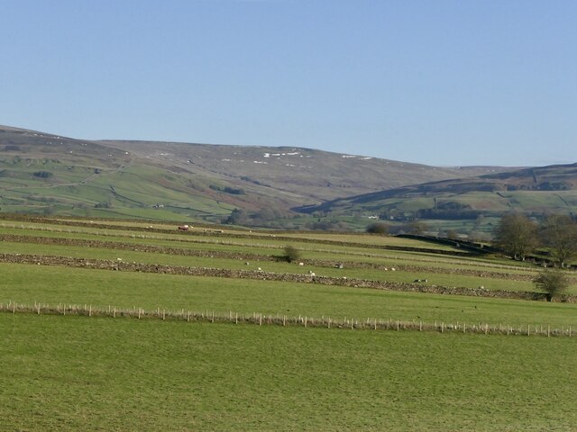
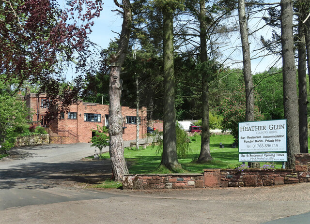
Broomrigg Plantation is a picturesque woodland area located in Cumberland, England. Spread over a sprawling expanse, the plantation covers an area of approximately 200 acres. Situated amidst the breathtaking scenery of the Cumbrian countryside, it is a popular destination for nature lovers, hikers, and outdoor enthusiasts.

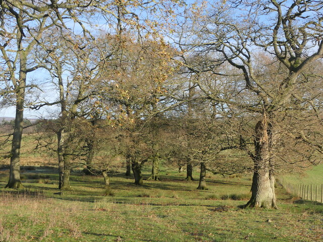
The woodland primarily consists of a diverse mix of deciduous and coniferous trees, including oak, beech, birch, and pine. This blend of tree species creates a rich and vibrant ecosystem, providing a habitat for a wide variety of flora and fauna. The forest floor is adorned with a carpet of wildflowers during the spring and summer months, adding a burst of color to the landscape.

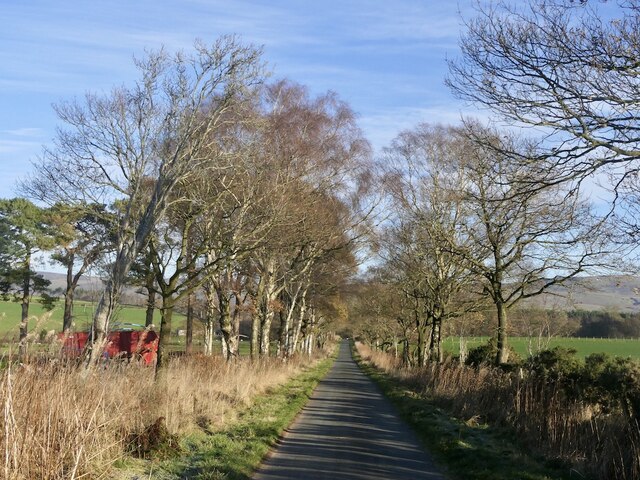
Traversing through Broomrigg Plantation, visitors can explore a network of well-maintained walking trails and footpaths. These trails lead adventurers deep into the heart of the woodland, offering glimpses of hidden streams, enchanting glades, and peaceful clearings. The tranquil ambiance and serene atmosphere make it an ideal place for relaxation, picnicking, or simply immersing oneself in the beauty of nature.

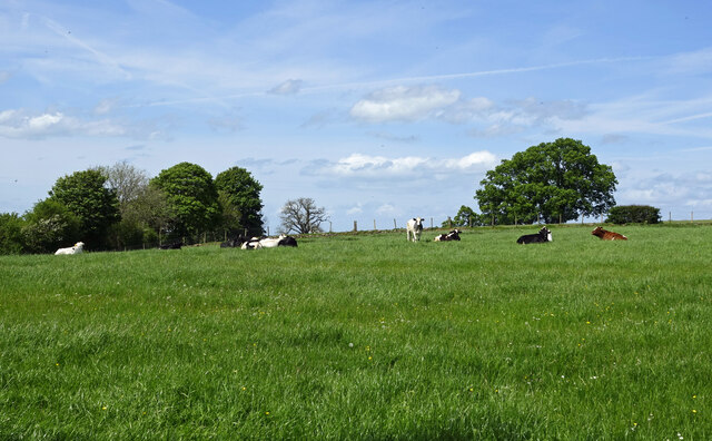
The plantation also boasts a diverse range of wildlife, making it a haven for nature enthusiasts. Birdwatchers can spot a variety of avian species, including woodpeckers, thrushes, and owls. Additionally, the forest is home to small mammals like squirrels, rabbits, and hedgehogs, adding to the enchantment of the woodland experience.

Broomrigg Plantation is a cherished natural treasure in Cumberland, offering a peaceful retreat from the hustle and bustle of city life. Its breathtaking beauty, diverse flora, and fauna, and well-maintained trails make it a must-visit destination for anyone seeking solace in nature's embrace.

If you have any feedback on the listing, please let us know in the comments section below.

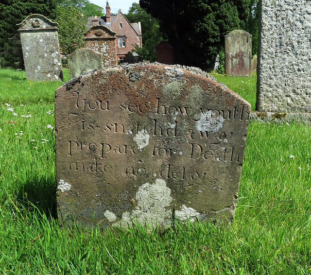
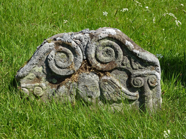
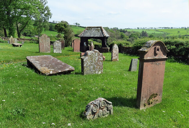
Broomrigg Plantation Images

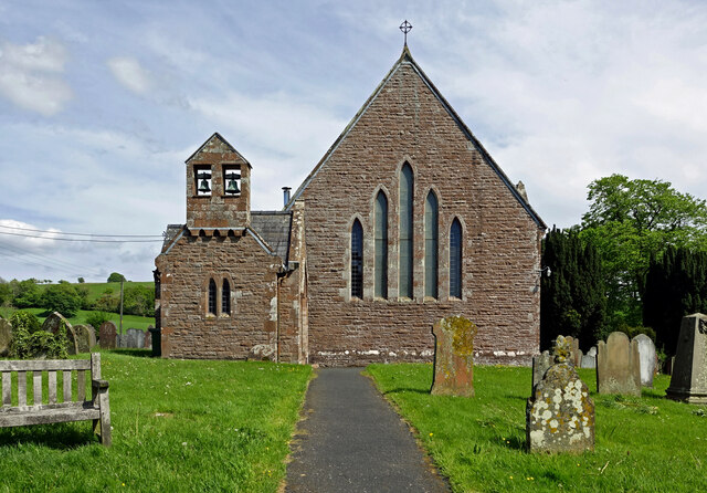
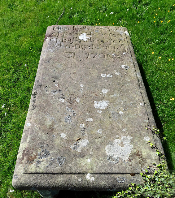
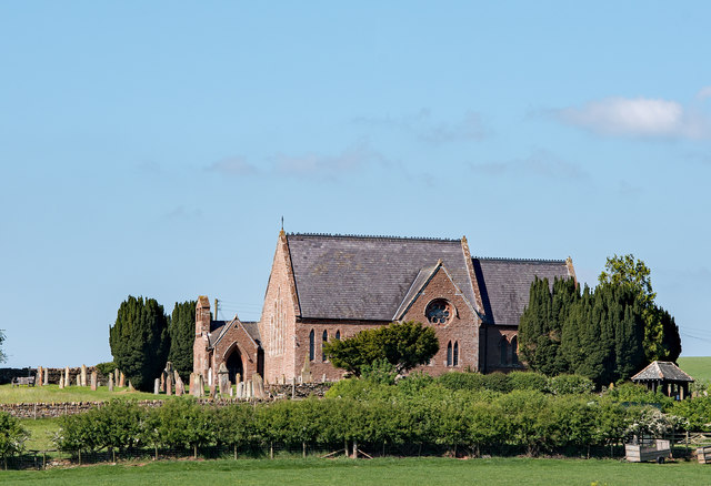
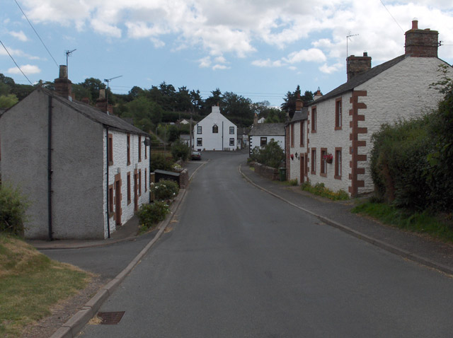
Images are sourced within 2km of 54.813343/-2.7046435 or Grid Reference NY5446. Thanks to Geograph Open Source API. All images are credited.

Ruckcroft to Broomrigg Road Must remember the extra g in rigg here.  An icy morning.
Ruckcroft to Broomrigg Road
Must remember the extra g in rigg here. An icy morning.
Drystone walls near Slack A series of parallel walls against a Pennine backdrop.
Drystone walls near Slack
A series of parallel walls against a Pennine backdrop.
Barn, Slack
Barn, Slack
Oakwood, Broomrigg
Oakwood, Broomrigg
Farmland near Ainstable Good grazing land covers much of the farmland in this area. Viewed from the churchyard.
Farmland near Ainstable
Good grazing land covers much of the farmland in this area. Viewed from the churchyard.
The Heather Glen Country House Hotel Located on the east side of Ainstable village.
The Heather Glen Country House Hotel
Located on the east side of Ainstable village.
A warning message This is the grave of Matthew Wilson in Ainstable churchyard. The date of death isn’t legible but the stone is typical of the 18th century. The inscription reads:
You see how youth
is snatched away
prepare for Death
make no delay.
A warning message
This is the grave of Matthew Wilson in Ainstable churchyard. The date of death isn’t legible but the stone is typical of the 18th century. The inscription reads: You see how youth is snatched away prepare for Death make no delay.
A winged soul at St Michael’s A closer look at this interesting old stone. The carving represents the departed’s soul rising up to Heaven. Unfortunately, the sunken stone was too weathered to make out any other information.
A winged soul at St Michael’s
A closer look at this interesting old stone. The carving represents the departed’s soul rising up to Heaven. Unfortunately, the sunken stone was too weathered to make out any other information.
In St Michael’s graveyard This view looks towards the lych gate at the entrance. The sunken stone in the foreground carries the carving of a winged soul.
In St Michael’s graveyard
This view looks towards the lych gate at the entrance. The sunken stone in the foreground carries the carving of a winged soul.
The Church of St Michael and All Angels St Michael's lies on the grid line between two squares. This view is in NY5246. The red sandstone church occupies a prominent site on the northern edge of Ainstable. The church graveyard contains some interesting old stones, some of which date back to the 18th century.
The Church of St Michael and All Angels
St Michael's lies on the grid line between two squares. This view is in NY5246. The red sandstone church occupies a prominent site on the northern edge of Ainstable. The church graveyard contains some interesting old stones, some of which date back to the 18th century.
18th century table-stone at St Michael’s The inscription on this very old stone reads: 
Here lyeth the Body
of Peter Hodgson
of Bascodike foot
who dyed July ye
31 1700
18th century table-stone at St Michael’s
The inscription on this very old stone reads: Here lyeth the Body of Peter Hodgson of Bascodike foot who dyed July ye 31 1700
St Michael and All Angels Church St Michael's lies on the grid line between two squares. This view is in NY5346. The red sandstone church occupies a prominent site on the northern edge of Ainstable. The church graveyard contains some interesting old stones, some of which date back to the 18th century.
St Michael and All Angels Church
St Michael's lies on the grid line between two squares. This view is in NY5346. The red sandstone church occupies a prominent site on the northern edge of Ainstable. The church graveyard contains some interesting old stones, some of which date back to the 18th century.
Church of St Michael & All Angels, Ainstable - May 2017 (1) Built on an imposing site overlooking the village of Ainstable, the current Church of St Michael & All Angels dates from 1872. It replaced a late 18th Century Church, which itself was built on a site of worship dating back to Norman times.

The Church is open daily (closed from 16.00), a Guide Book is available and donations are welcome. There are many imposing internal features including Victorian stained glass and an 1888 installed rood screen. This will be covered in a future visit.

More information on the Church can be found on the Diocese of Carlisle web site at: <span class="nowrap"><a title="http://www.carlislediocese.org.uk/church/ainstable-st-michael-all-angels.html" rel="nofollow ugc noopener" href="http://www.carlislediocese.org.uk/church/ainstable-st-michael-all-angels.html">Link</a><img style="margin-left:2px;" alt="External link" title="External link - shift click to open in new window" src="https://s1.geograph.org.uk/img/external.png" width="10" height="10"/></span>

The Church is Grade II listed.
Church of St Michael & All Angels, Ainstable - May 2017 (1)
Built on an imposing site overlooking the village of Ainstable, the current Church of St Michael & All Angels dates from 1872. It replaced a late 18th Century Church, which itself was built on a site of worship dating back to Norman times. The Church is open daily (closed from 16.00), a Guide Book is available and donations are welcome. There are many imposing internal features including Victorian stained glass and an 1888 installed rood screen. This will be covered in a future visit. More information on the Church can be found on the Diocese of Carlisle web site at: LinkExternal link The Church is Grade II listed.
Church of St Michael & All Angels, Ainstable - May 2017 (2) View of the south face and lych gate from the village. 

For information on this Church, see: <a href="https://www.geograph.org.uk/photo/5405324">NY5346 : Church of St Michael & All Angels, Ainstable - May 2017 (1)</a> .
Church of St Michael & All Angels, Ainstable - May 2017 (2)
View of the south face and lych gate from the village. For information on this Church, see: NY5346 : Church of St Michael & All Angels, Ainstable - May 2017 (1) .
Church of St Michael & All Angels, Ainstable - May 2017 (3) Village War Memorial, situated in the lych gate.

For information on the Church, see: <a href="https://www.geograph.org.uk/photo/5405324">NY5346 : Church of St Michael & All Angels, Ainstable - May 2017 (1)</a> .
Church of St Michael & All Angels, Ainstable - May 2017 (3)
Village War Memorial, situated in the lych gate. For information on the Church, see: NY5346 : Church of St Michael & All Angels, Ainstable - May 2017 (1) .
Church of St Michael & All Angels, Ainstable - May 2017 (4) The west face of the Church with entrance and bell tower.

For information on this Church, see: <a href="https://www.geograph.org.uk/photo/5405324">NY5346 : Church of St Michael & All Angels, Ainstable - May 2017 (1)</a> .
Church of St Michael & All Angels, Ainstable - May 2017 (4)
The west face of the Church with entrance and bell tower. For information on this Church, see: NY5346 : Church of St Michael & All Angels, Ainstable - May 2017 (1) .
Church of St Michael & All Angels, Ainstable - May 2017 (5) The entrance and bell tower.

For information on the Church, see: <a href="https://www.geograph.org.uk/photo/5405324">NY5346 : Church of St Michael & All Angels, Ainstable - May 2017 (1)</a> .
Church of St Michael & All Angels, Ainstable - May 2017 (5)
The entrance and bell tower. For information on the Church, see: NY5346 : Church of St Michael & All Angels, Ainstable - May 2017 (1) .
Church of St Michael & All Angels, Ainstable - May 2017 (6) The Vicarage.

For information on the Church, see: <a href="https://www.geograph.org.uk/photo/5405324">NY5346 : Church of St Michael & All Angels, Ainstable - May 2017 (1)</a> .
Church of St Michael & All Angels, Ainstable - May 2017 (6)
The Vicarage. For information on the Church, see: NY5346 : Church of St Michael & All Angels, Ainstable - May 2017 (1) .
Show me another place!

Broomrigg Plantation is located at Grid Ref: NY5446 (Lat: 54.813343, Lng: -2.7046435)

Administrative County: Cumbria

District: Eden

Police Authority: Cumbria

What 3 Words

///twig.lavender.botanists. Near Wetheral, Cumbria

Nearby Locations

Broomrigg Plantation

Related Wikis

Ainstable

Ainstable is a village and civil parish in the English county of Cumbria. The parish stretches from the banks of the River Eden to the summits of the North...

Croglin

Croglin is the name of a village, former civil parish, beck (stream), and grange now in the parish of Ainstable, in the Westmorland and Furness district...

Newbiggin, Ainstable

Newbiggin is a small hamlet in Cumbria, England. Cumrew beck flows north-west through Newbiggin eventually joining the Eden close to Armathwaite. The village...

Dale, Cumbria

Dale is a hamlet in Cumbria, England. == References ==

Have you been to Broomrigg Plantation?

Leave your review of Broomrigg Plantation below (or comments, questions and feedback).