Carr Wood
Wood, Forest in Lancashire South Ribble
England
Carr Wood
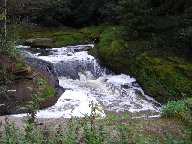
Carr Wood is a picturesque woodland located in Lancashire, England. Covering an area of approximately 50 acres, it is a popular destination for nature enthusiasts and those seeking a peaceful retreat from the hustle and bustle of everyday life.
The wood is characterized by its diverse range of tree species, including oak, birch, and beech, which create a vibrant and colorful canopy during the autumn months. The forest floor is adorned with a variety of wildflowers, adding to the natural beauty of the area.
Carr Wood is known for its abundant wildlife, providing a habitat for numerous species. Visitors may spot woodland birds such as woodpeckers, owls, and thrushes, as well as mammals like deer, foxes, and squirrels. The wood also supports a rich insect population, with butterflies and dragonflies fluttering among the trees.
The wood is crisscrossed by several well-maintained walking trails, allowing visitors to explore its beauty at their own pace. These paths wind through the trees, providing glimpses of tranquil ponds and babbling streams along the way. The wood also features picnic areas, where visitors can relax and enjoy a meal amidst nature's splendor.
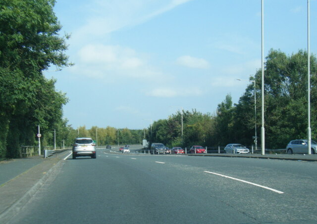
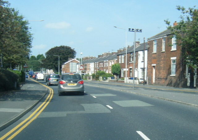
Carr Wood is easily accessible, located just a short drive from nearby towns and villages. Its serene atmosphere and natural charm make it an ideal destination for walkers, photographers, and families alike. Whether one is seeking a peaceful stroll or simply wishes to immerse themselves in the beauty of Lancashire's woodlands, Carr Wood offers a delightful escape into nature.
If you have any feedback on the listing, please let us know in the comments section below.
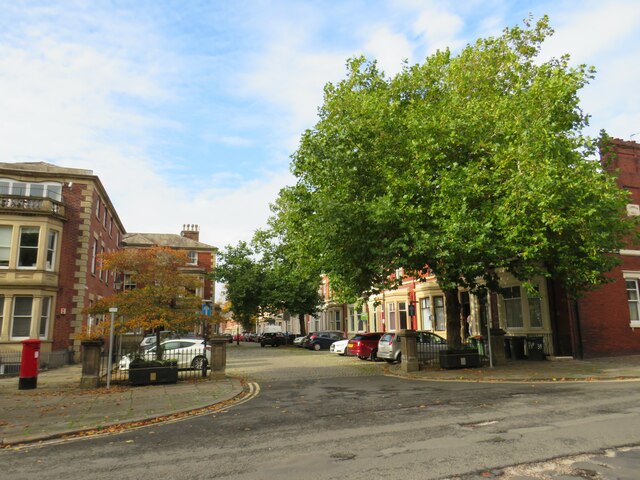
Carr Wood Images
Images are sourced within 2km of 53.742194/-2.6872306 or Grid Reference SD5427. Thanks to Geograph Open Source API. All images are credited.


Carr Wood is located at Grid Ref: SD5427 (Lat: 53.742194, Lng: -2.6872306)
Administrative County: Lancashire
District: South Ribble
Police Authority: Lancashire
What 3 Words
///sang.soak.soap. Near Preston, Lancashire
Nearby Locations
Related Wikis
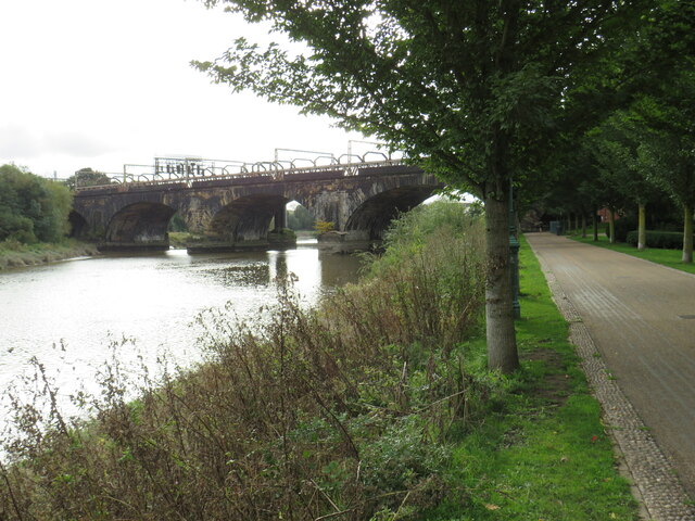
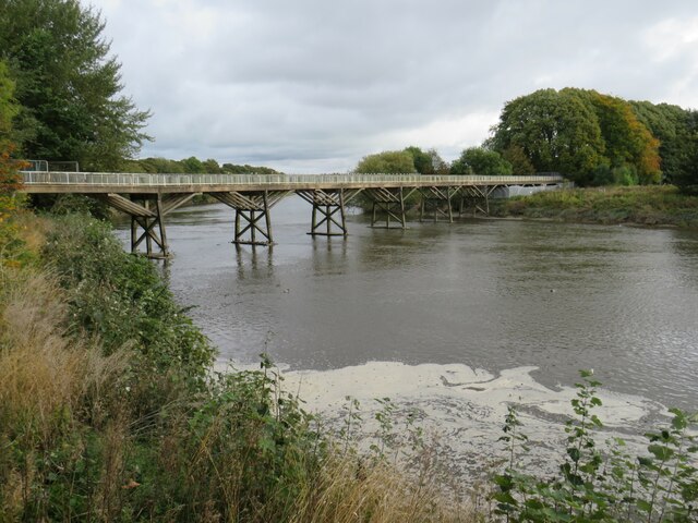
River Darwen
The River Darwen runs through Darwen and Blackburn in Lancashire, England, eventually joining the River Ribble at Walton le Dale south of Preston on its...

Christ the King Catholic High School, Preston
Christ the King Catholic High School is a coeducational secondary school located in Preston in the English county of Lancashire.It is a voluntary aided...

Lancaster Canal Tramroad
The Lancaster Canal Tramroad, also known as the Walton Summit Tramway or the Old Tram Road, was a British plateway, completed in 1803, to link the north...
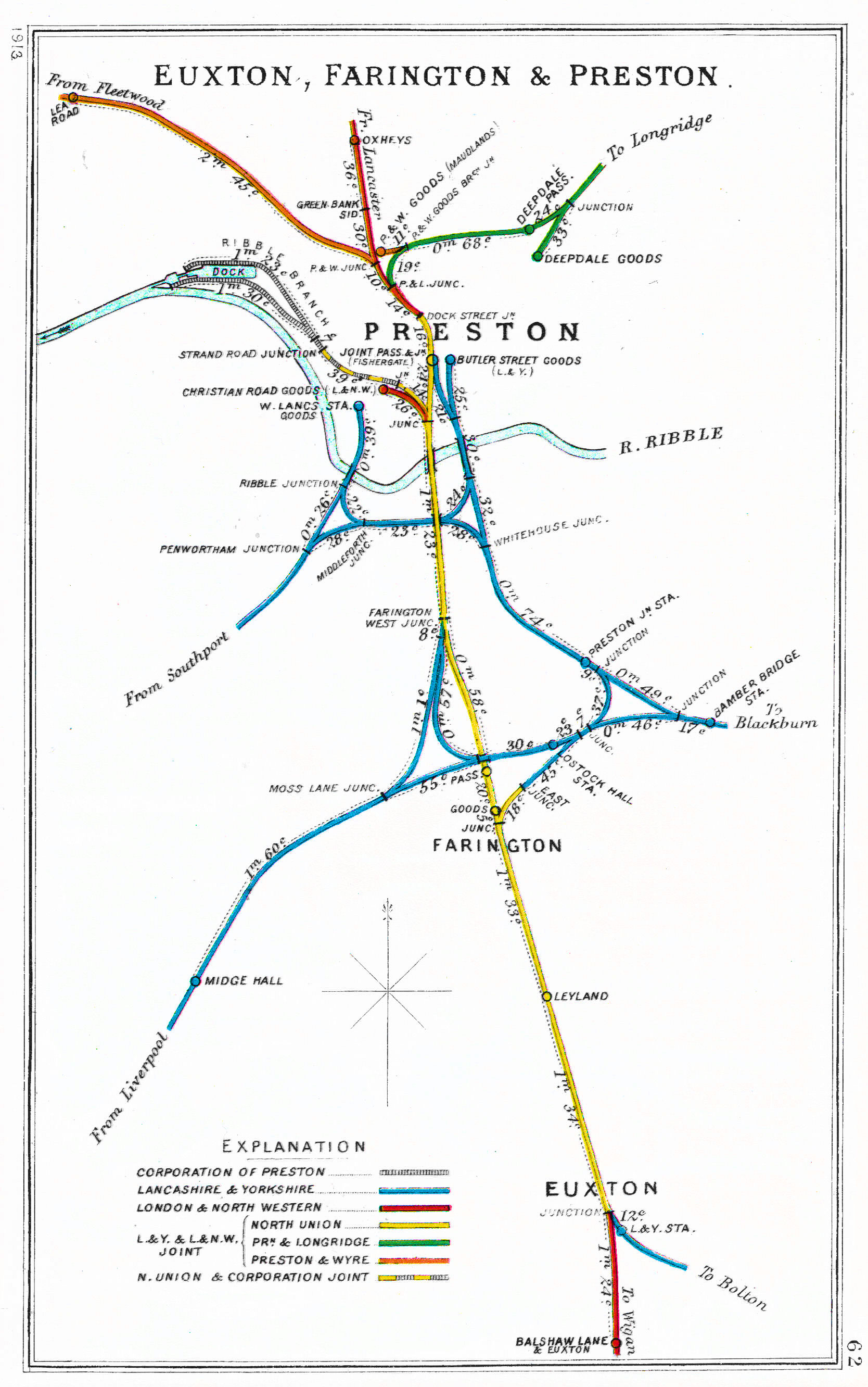
Todd Lane Junction railway station
Todd Lane Junction, previously called Preston Junction until 1952, was a railway station between Preston and Bamber Bridge which closed to passenger traffic...
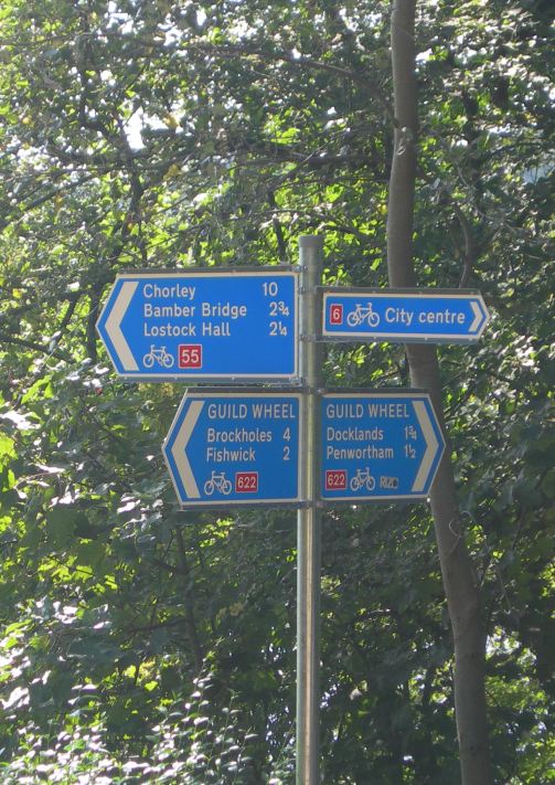
National Cycle Route 622
National Cycle Route 622, the Preston Guild Wheel, part of the National Cycle Network in North West England, is a 21-mile cycle and walking route encircling...
Lostock Hall Academy
Lostock Hall Academy (formerly Lostock Hall Community High School) is a mixed secondary school located in Lostock Hall in the English county of Lancashire...

Jamea Masjid, Preston
Jamea Masjid is the largest and longest established mosque (masjid) in Preston, Lancashire, England, UK. == History == The mosque was established in 1964...
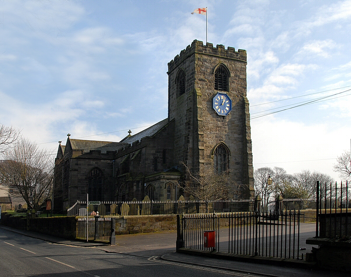
St Leonard's Church, Walton-le-Dale
St Leonard's Church is an Anglican church in Walton-le-Dale, Lancashire, England. It is an active parish church in the Diocese of Blackburn and the archdeaconry...
Nearby Amenities
Located within 500m of 53.742194,-2.6872306Have you been to Carr Wood?
Leave your review of Carr Wood below (or comments, questions and feedback).