Abbey Park

Wood, Forest in Westmorland Eden

England

Abbey Park

Main Street (A6), Shap Looking north-westward.
Main Street (A6), Shap Credit: Peter Wood

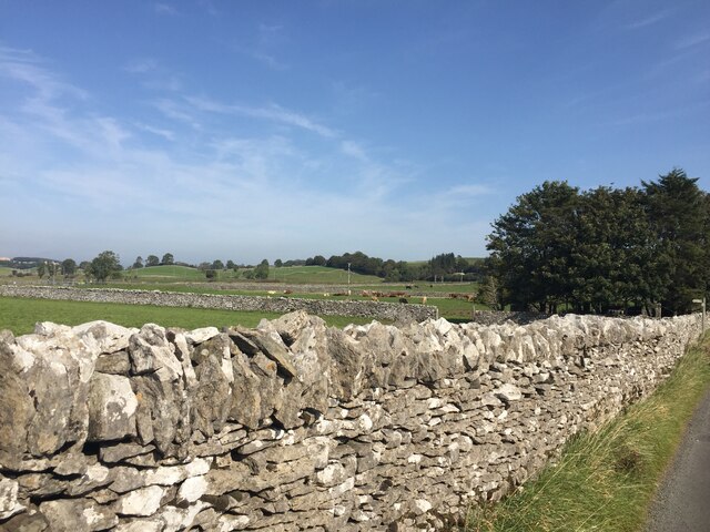
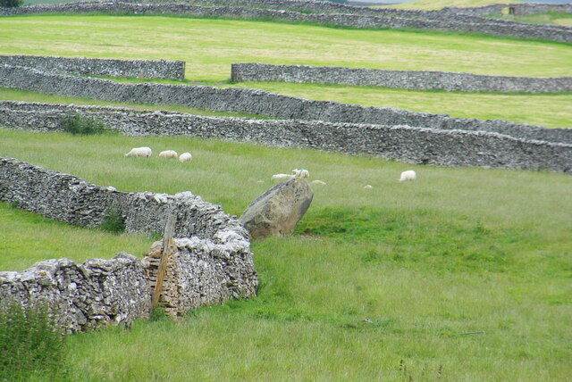
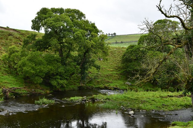
Abbey Park, located in Westmorland, is a picturesque woodland area known for its serene beauty and rich history. Situated amidst the rolling hills of Westmorland, the park covers a vast expanse of lush greenery, making it a haven for nature lovers and outdoor enthusiasts.

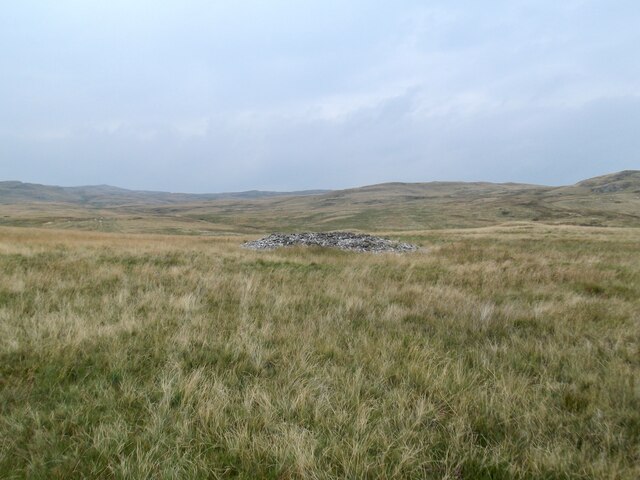
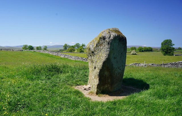
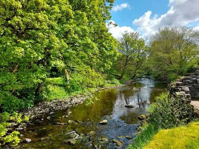
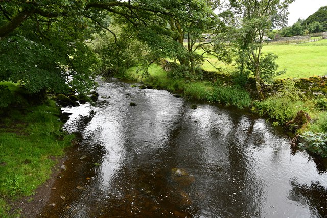
The park is home to a diverse range of flora and fauna, with towering oak and beech trees dominating the landscape. The forest floor is carpeted with a vibrant array of wildflowers, creating a kaleidoscope of colors throughout the seasons. Birdsong fills the air as various species nest and thrive in this idyllic setting.

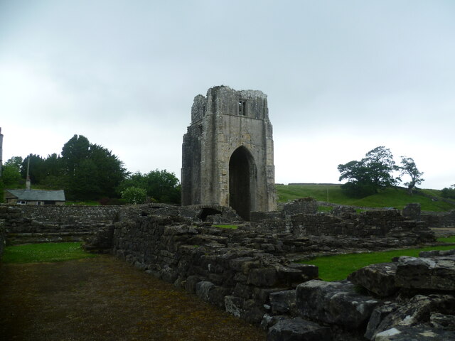
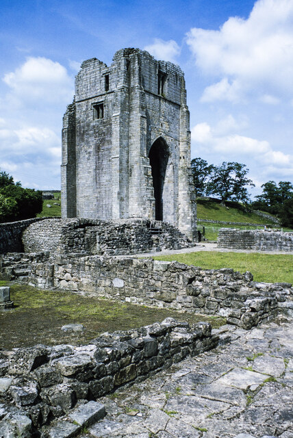
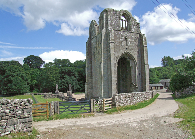
One of the highlights of Abbey Park is the ancient abbey ruins that date back to the 12th century. These remnants of a once-thriving religious community add a touch of mystery and intrigue to the park. Visitors can explore the ruins and imagine the lives of the monks who once inhabited these hallowed grounds.

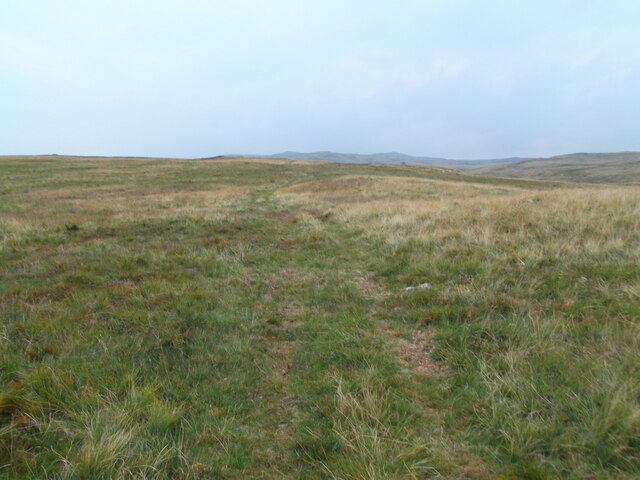
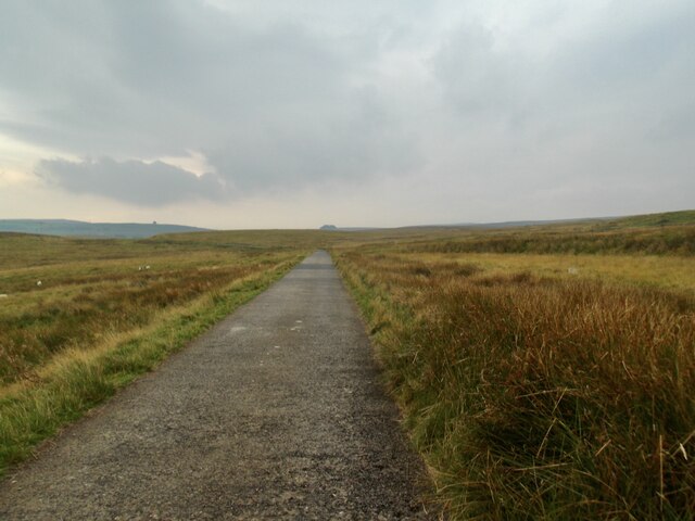
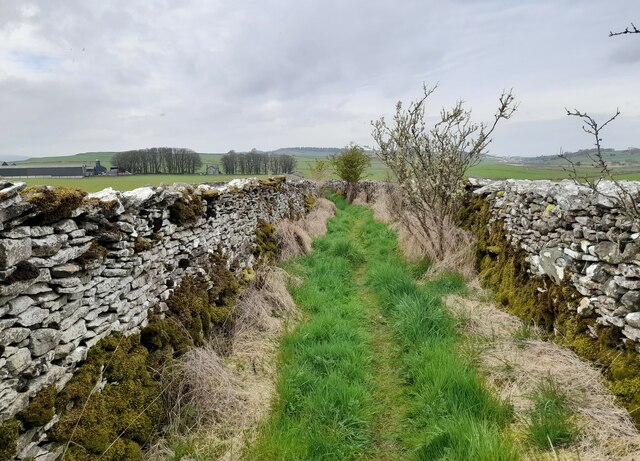
The park offers numerous walking trails, allowing visitors to immerse themselves in the natural beauty of the surroundings. The paths wind through the forest, offering breathtaking views of the countryside and providing opportunities for wildlife spotting.

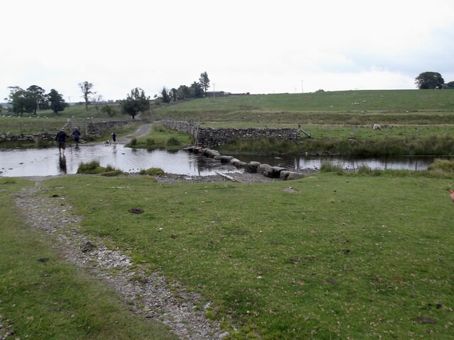
Abbey Park is also a popular destination for picnics and family outings. With its well-maintained grounds and designated picnic areas, it provides a perfect spot for relaxation and enjoying a meal amidst nature.

In conclusion, Abbey Park in Westmorland is a captivating woodland area that combines natural beauty with historical significance. Its ancient abbey ruins, diverse wildlife, and scenic trails make it a must-visit destination for nature enthusiasts and history buffs alike.

If you have any feedback on the listing, please let us know in the comments section below.

Abbey Park Images

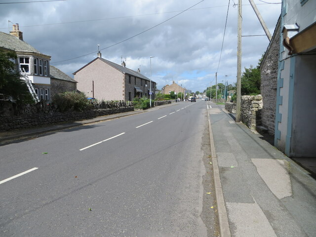
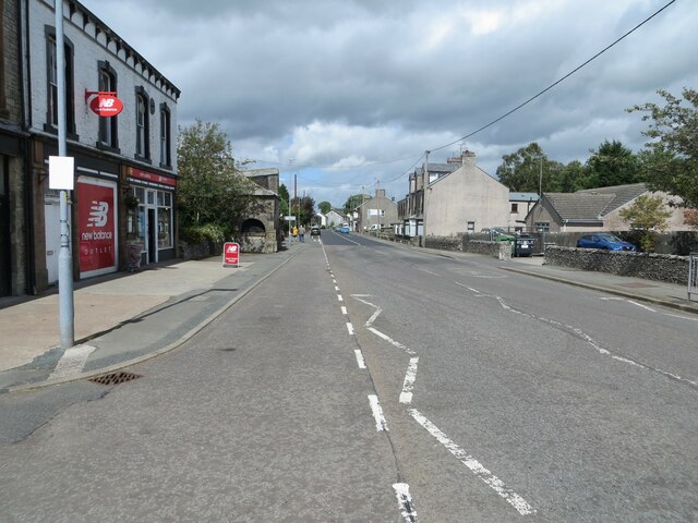
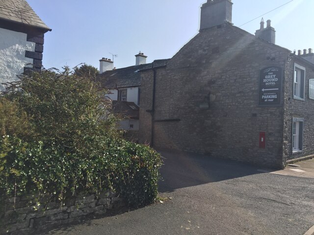
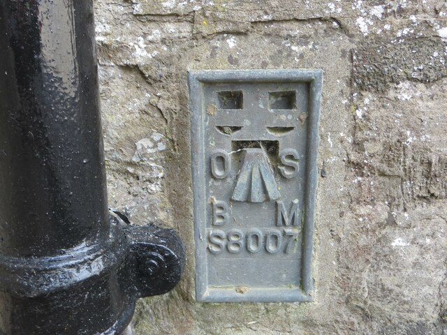
Images are sourced within 2km of 54.526326/-2.7004938 or Grid Reference NY5414. Thanks to Geograph Open Source API. All images are credited.

Main Street (A6), Shap Looking north-westward.
Main Street (A6), Shap
Looking north-westward.
Main Street (A6), Shap Looking north-westward.
Main Street (A6), Shap
Looking north-westward.
Drystone walls, Shap This one on Keld Lane, on the way to Shep Abbery
Drystone walls, Shap
This one on Keld Lane, on the way to Shep Abbery
Entry to Oak Tree Close near the Grey Hound Hotel, Shap
Ordnance Survey Flush Bracket S8007 This bracket can be found on the wall of the Library building in Shap.
The recorded details give a height of 254.0234 metres above sea level.
For more details see : <span class="nowrap"><a title="https://www.bench-marks.org.uk/bm816" rel="nofollow ugc noopener" href="https://www.bench-marks.org.uk/bm816">Link</a><img style="margin-left:2px;" alt="External link" title="External link - shift click to open in new window" src="https://s1.geograph.org.uk/img/external.png" width="10" height="10"/></span>
Ordnance Survey Flush Bracket S8007
This bracket can be found on the wall of the Library building in Shap. The recorded details give a height of 254.0234 metres above sea level. For more details see : LinkExternal link
Aspers Field Stone Viewed from the Goggleby Stone part of the Shap Stone Alignment
Aspers Field Stone
Viewed from the Goggleby Stone part of the Shap Stone Alignment
Shap Abbey, West Tower Viewed from across the cloister remains
Shap Abbey, West Tower
Viewed from across the cloister remains
Post Box at Shap CA10 45D. Royal Mail list this box as 'Greyhound Inn'.
Post Box at Shap
CA10 45D. Royal Mail list this box as 'Greyhound Inn'.
An old cairn, Ralfland Forest
Southward path on Ralfland Forest A well marked path on the map but rather vague on the ground
Southward path on Ralfland Forest
A well marked path on the map but rather vague on the ground
The water board road
Stepping stones on the River Lowther The grid line runs right through the crossing. The large stones look easy to use but are slippery when wet as I discovered to my discomfort.
Stepping stones on the River Lowther
The grid line runs right through the crossing. The large stones look easy to use but are slippery when wet as I discovered to my discomfort.
West tower at Shap Abbey The substantial remains of the West tower at the Premonstratensian Abbey at Shap. The view is from the south-east over ruined walls and the grass of the cloister.
West tower at Shap Abbey
The substantial remains of the West tower at the Premonstratensian Abbey at Shap. The view is from the south-east over ruined walls and the grass of the cloister.
Footpath near Shap Footpath near Shap.
Footpath near Shap
Footpath near Shap.
The Goggleby Stone Viewed from the east and looking towards the hills above Haweswater.
The Goggleby Stone
Viewed from the east and looking towards the hills above Haweswater.
River Lowther By the ruins of Shap Abbey.
River Lowther
By the ruins of Shap Abbey.
Shap Rural: River Lowther from Abbey Bridge
Show me another place!

Abbey Park is located at Grid Ref: NY5414 (Lat: 54.526326, Lng: -2.7004938)

Administrative County: Cumbria

District: Eden

Police Authority: Cumbria

What 3 Words

///interlude.contracts.congratulations. Near Shap, Cumbria

Nearby Locations

Abbey Park

Related Wikis

Nearby Amenities

Located within 500m of 54.526326,-2.7004938
Power: pole
Lat/Long: 54.5224541/-2.6992798
Power: pole
Lat/Long: 54.5231628/-2.7007562
Power: pole
Lat/Long: 54.5236398/-2.7017424
Power: pole
Lat/Long: 54.5240486/-2.70262
Power: pole
Lat/Long: 54.5246295/-2.7038088
Power: pole
Lat/Long: 54.5252342/-2.705115
Power: pole
Lat/Long: 54.5256754/-2.7060014
Shap Abbey
Place: farm
Lat/Long: 54.5299042/-2.6997067
Abbey Park
Place: locality
Lat/Long: 54.5255796/-2.6982771
Power: pole
Lat/Long: 54.5278929/-2.6941542
Power: pole
Lat/Long: 54.5278968/-2.6954698
Power: pole
Lat/Long: 54.5281983/-2.6969263
Power: pole
Lat/Long: 54.5285403/-2.6985829
Power: pole
Lat/Long: 54.5292406/-2.6994326
Power: pole
Lat/Long: 54.529634/-2.6999374
Power: pole
Lat/Long: 54.5299822/-2.7003723
The data included in this document is from www.openstreetmap.org. The data is made available under ODbL.

Have you been to Abbey Park?

Leave your review of Abbey Park below (or comments, questions and feedback).