James's Thorns
Wood, Forest in Gloucestershire Forest of Dean
England
James's Thorns
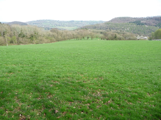
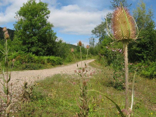
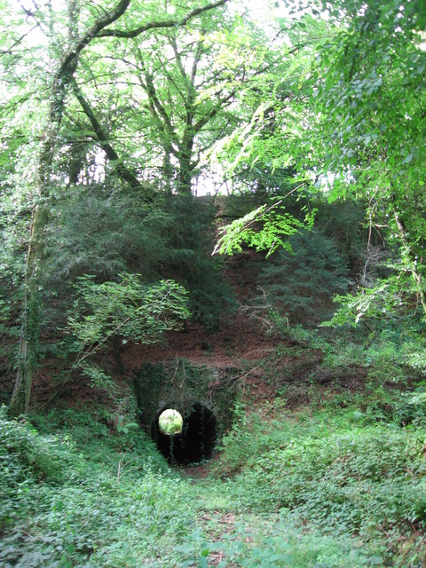
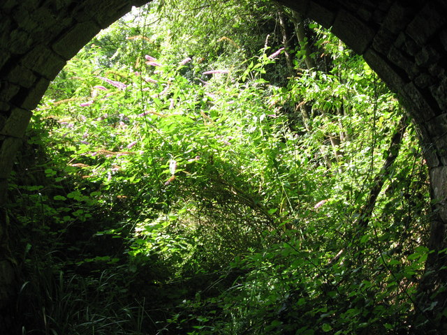
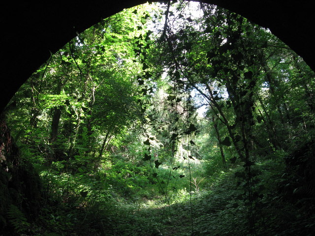
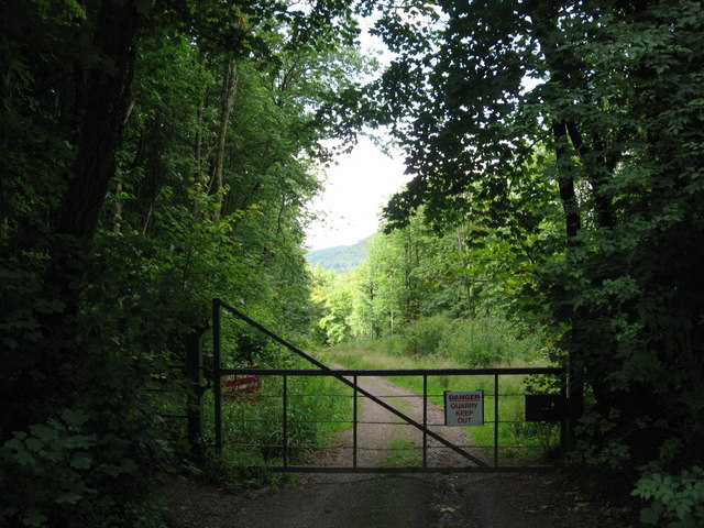
James's Thorns is a small woodland area located in the enchanting county of Gloucestershire, England. Nestled amidst the picturesque countryside, this idyllic wood is a haven of natural beauty and tranquility. Spread over an area of approximately 100 acres, James's Thorns is a treasured gem for nature lovers and outdoor enthusiasts.
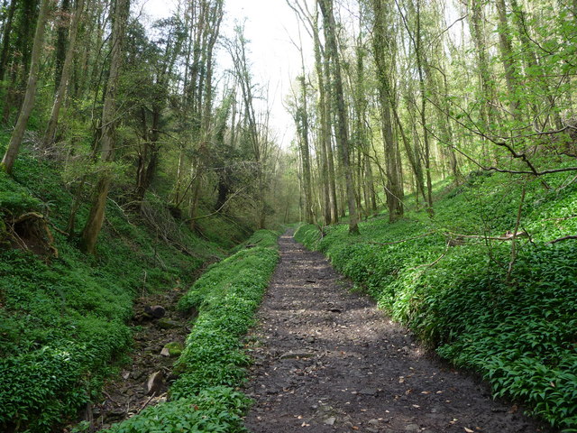
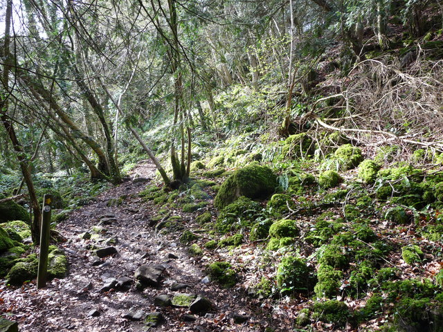
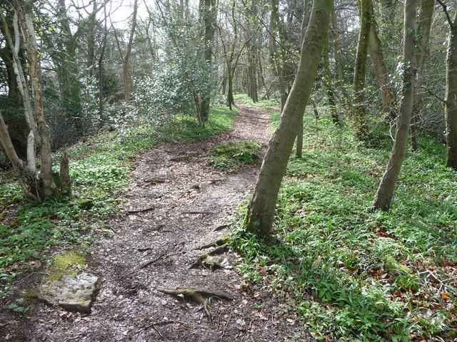
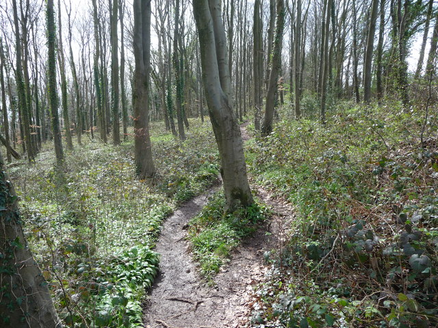
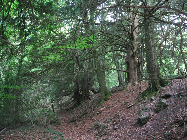
The woodland boasts a diverse ecosystem, comprising a mix of deciduous and coniferous trees. Majestic oak, beech, and ash trees dominate the landscape, offering a stunning display of colors throughout the seasons. The forest floor is adorned with a rich carpet of wildflowers, including bluebells, primroses, and wood anemones, creating a magical ambiance.
James's Thorns is home to a variety of wildlife, providing a sanctuary for numerous species. Birdwatchers can spot a range of avian creatures, such as woodpeckers, owls, and various songbirds. Small mammals like rabbits, foxes, and squirrels scuttle through the undergrowth, while elusive deer can occasionally be glimpsed among the trees, adding to the area's charm.
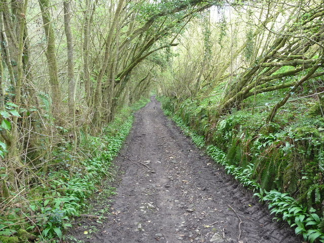
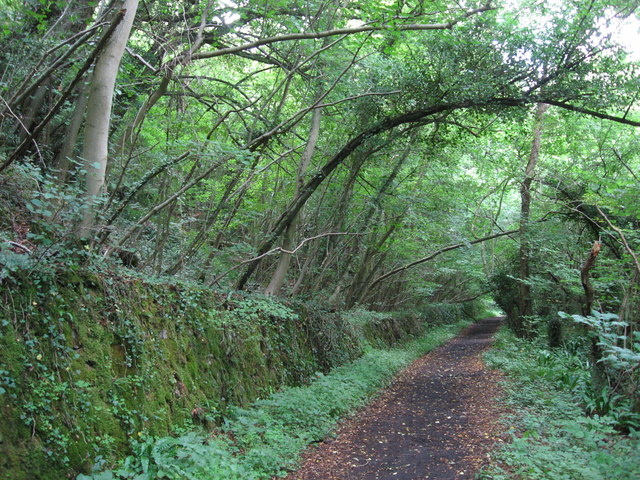
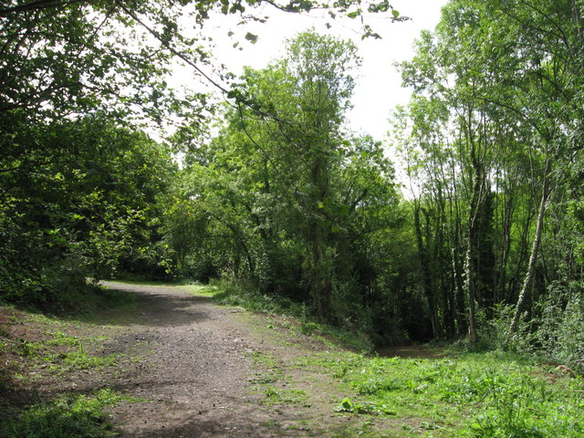
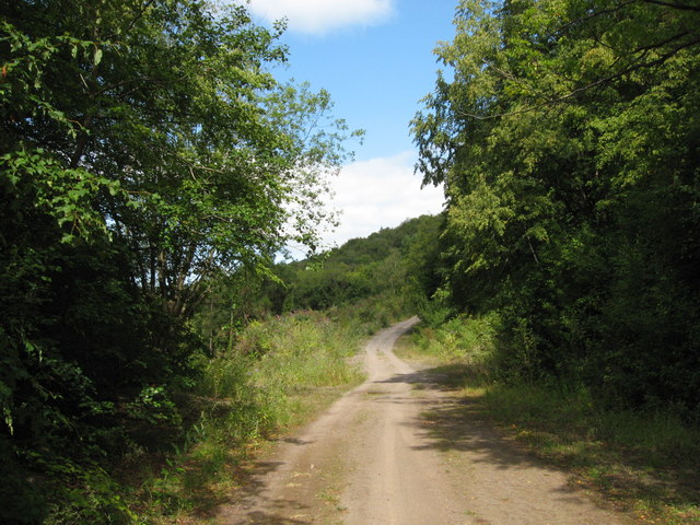
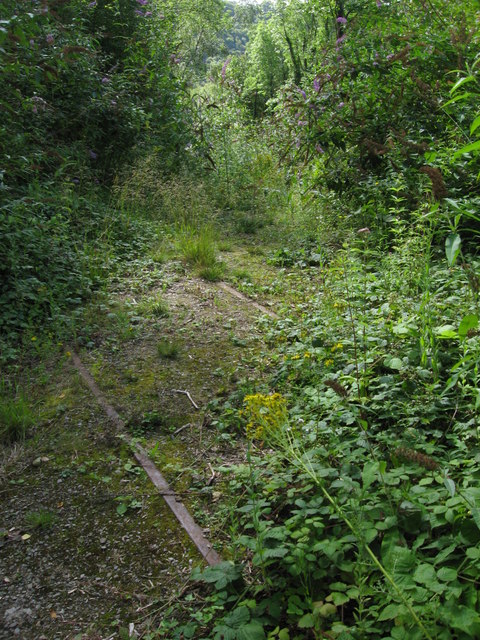
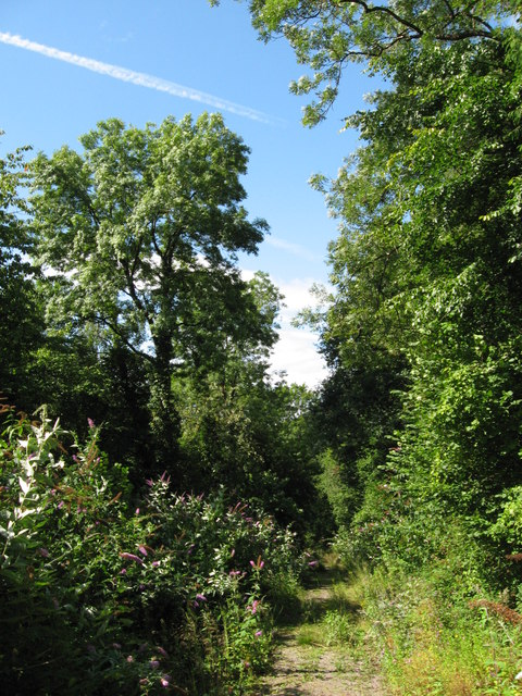
The woodland is crisscrossed by a network of walking trails, allowing visitors to explore and immerse themselves in this natural wonderland. These pathways meander through the wood, leading to hidden clearings, babbling brooks, and peaceful picnic spots. Nature enthusiasts can revel in the tranquility, capturing breathtaking views and indulging in the sounds and scents of the forest.
James's Thorns is a cherished woodland destination, offering a serene retreat from the bustle of everyday life. Whether one seeks solitude, a family outing, or an opportunity to reconnect with nature, this enchanting forest provides an experience that is bound to leave a lasting impression.
If you have any feedback on the listing, please let us know in the comments section below.
James's Thorns Images
Images are sourced within 2km of 51.682949/-2.6560345 or Grid Reference ST5498. Thanks to Geograph Open Source API. All images are credited.
James's Thorns is located at Grid Ref: ST5498 (Lat: 51.682949, Lng: -2.6560345)
Administrative County: Gloucestershire
District: Forest of Dean
Police Authority: Gloucestershire
What 3 Words
///incline.polices.resolves. Near Tintern, Monmouthshire
Nearby Locations
Related Wikis

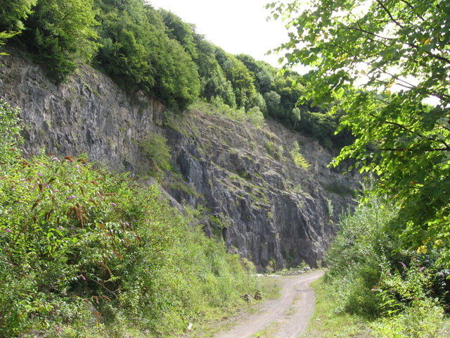
Tintern Quarry
Tintern Quarry was a quarry in the Forest of Dean, Gloucestershire, England. It was served by the Wye Valley Railway from 1876 until it closed in 1981...

Miss Grace's Lane
Miss Grace's Lane (also known as Miss Grace's Lane Swallett), near Tidenham in the Forest of Dean, Gloucestershire, England, is a natural cave system,...
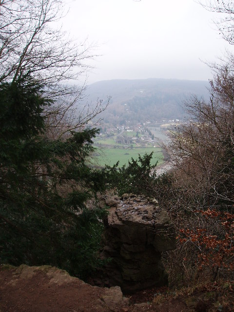
Devil's Pulpit, Gloucestershire
The Devil's Pulpit is a rocky limestone outcrop and scenic viewpoint in the Forest of Dean District of Gloucestershire, England, within the Wye Valley...

Poor's Allotment
Poor's Allotment (grid reference ST560990) is a 28.57-hectare (70.6-acre) biological Site of Special Scientific Interest in Gloucestershire, notified in...
Nearby Amenities
Located within 500m of 51.682949,-2.6560345Have you been to James's Thorns?
Leave your review of James's Thorns below (or comments, questions and feedback).