Capplerigg Plantation
Wood, Forest in Westmorland South Lakeland
England
Capplerigg Plantation

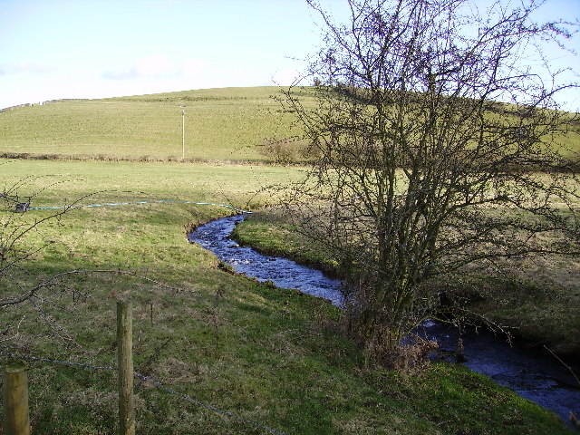
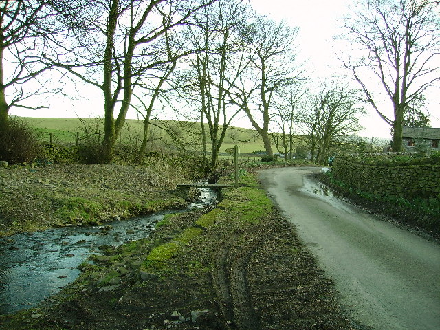
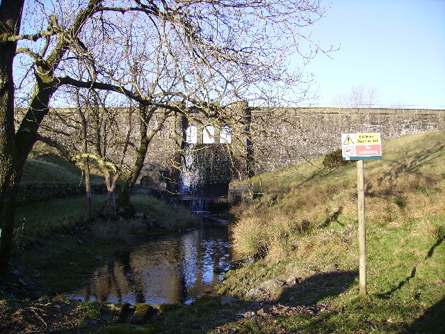
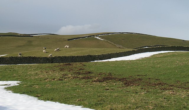
Capplerigg Plantation, located in Westmorland, is a picturesque woodland area renowned for its natural beauty and diverse range of plant and animal life. Covering a vast expanse of land, this enchanting forest is a popular destination for nature lovers and outdoor enthusiasts alike.
The plantation is predominantly made up of native tree species, including oak, beech, and birch, which create a dense canopy overhead, casting dappled sunlight onto the forest floor. The vibrant undergrowth is adorned with an array of wildflowers, ferns, and mosses, adding to the overall charm of the woodland.
Capplerigg Plantation is home to an abundance of wildlife, providing a haven for various animal species. Visitors may be lucky enough to spot red squirrels darting between the trees or catch a glimpse of roe deer gracefully wandering through the underbrush. The forest is also a haven for birdwatchers, with a multitude of species such as woodpeckers, owls, and warblers calling this place home.
Tranquil walking trails wind their way through the plantation, allowing visitors to explore the forest at their own pace. The gentle rustling of leaves underfoot and the melodic birdsong create a soothing ambiance, making it an ideal place for relaxation and reflection.
Capplerigg Plantation is open year-round, with each season offering its own unique beauty. In spring, the forest bursts to life with vibrant blossoms and fresh green foliage, while autumn paints the woodland in a stunning array of fiery hues.
Whether you are seeking a peaceful retreat or an opportunity to immerse yourself in nature, a visit to Capplerigg Plantation is sure to leave you enchanted by its timeless beauty.
If you have any feedback on the listing, please let us know in the comments section below.
Capplerigg Plantation Images
Images are sourced within 2km of 54.318676/-2.6975137 or Grid Reference SD5491. Thanks to Geograph Open Source API. All images are credited.


Capplerigg Plantation is located at Grid Ref: SD5491 (Lat: 54.318676, Lng: -2.6975137)
Administrative County: Cumbria
District: South Lakeland
Police Authority: Cumbria
What 3 Words
///offline.windows.conspired. Near Kendal, Cumbria
Nearby Locations
Related Wikis
New Hutton
New Hutton is a village and civil parish in South Lakeland, Cumbria, England. At the 2011 Census, it had a population of 348.New Hutton is east of Kendal...
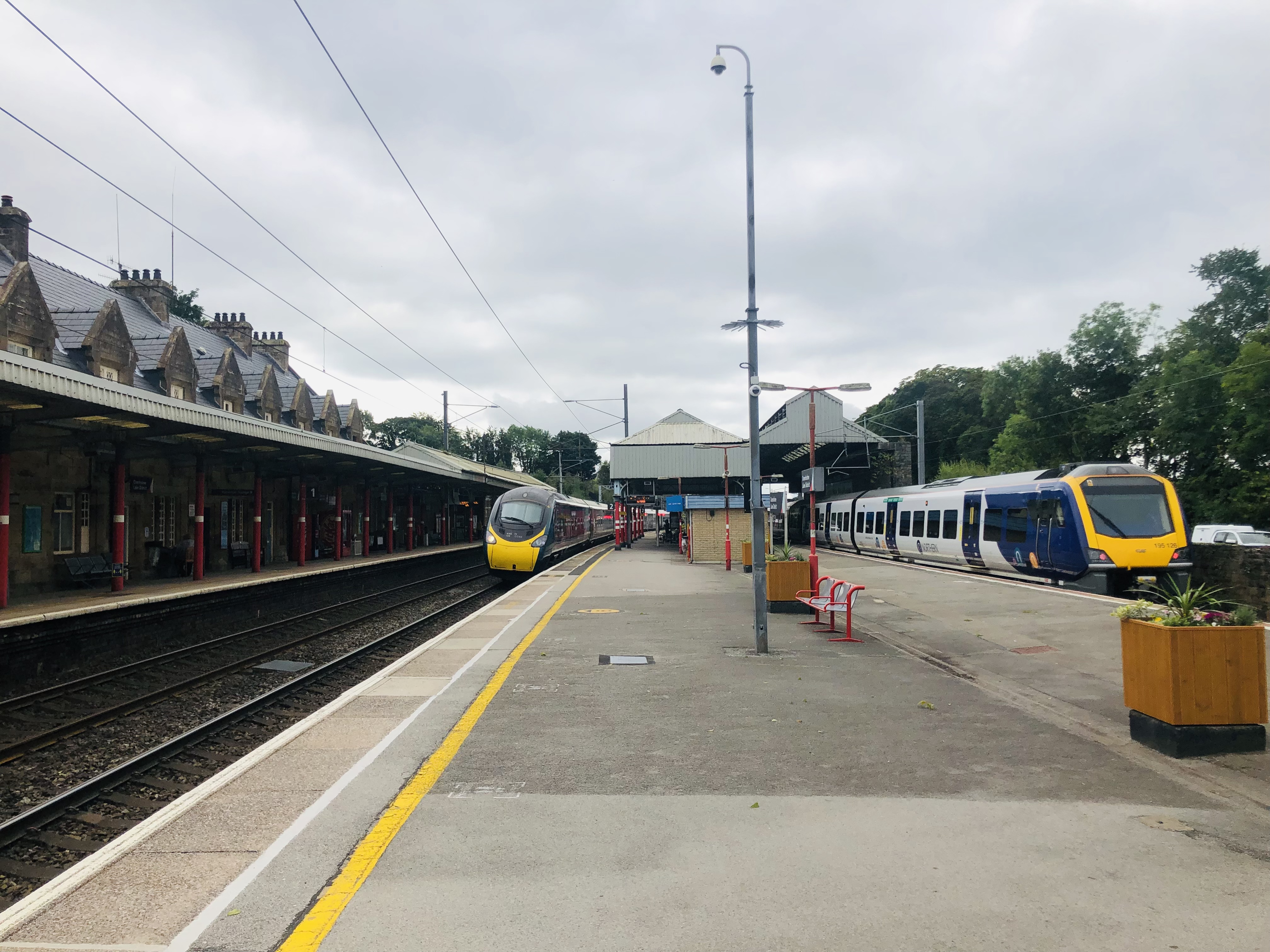
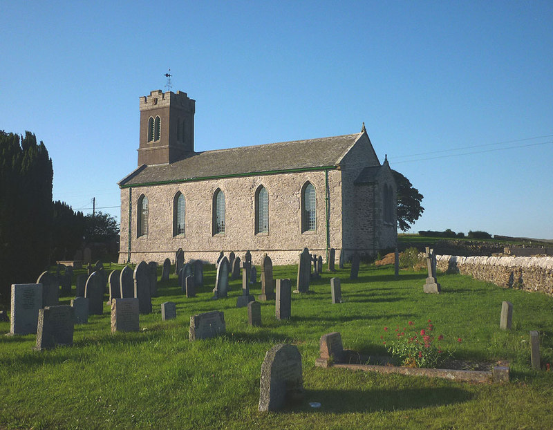
Oxenholme Lake District railway station
Oxenholme Lake District railway station in Oxenholme, near Kendal, Cumbria, England, is on the West Coast Main Line and at the start of the Windermere...

Netherfield Cricket Club
Netherfield Cricket Club Ground is a cricket ground in Kendal, Cumbria (formerly part of Westmorland). The first recorded match on the ground was in 1893...
Kendal Town F.C.
Kendal Town Football Club is a football club based in Kendal, Cumbria, England. The club are currently members of the North West Counties League Premier...
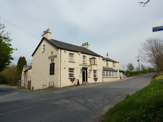
Oxenholme
Oxenholme is a village in England just south of the town of Kendal, with which it has begun to merge. It is best known for Oxenholme Lake District railway...
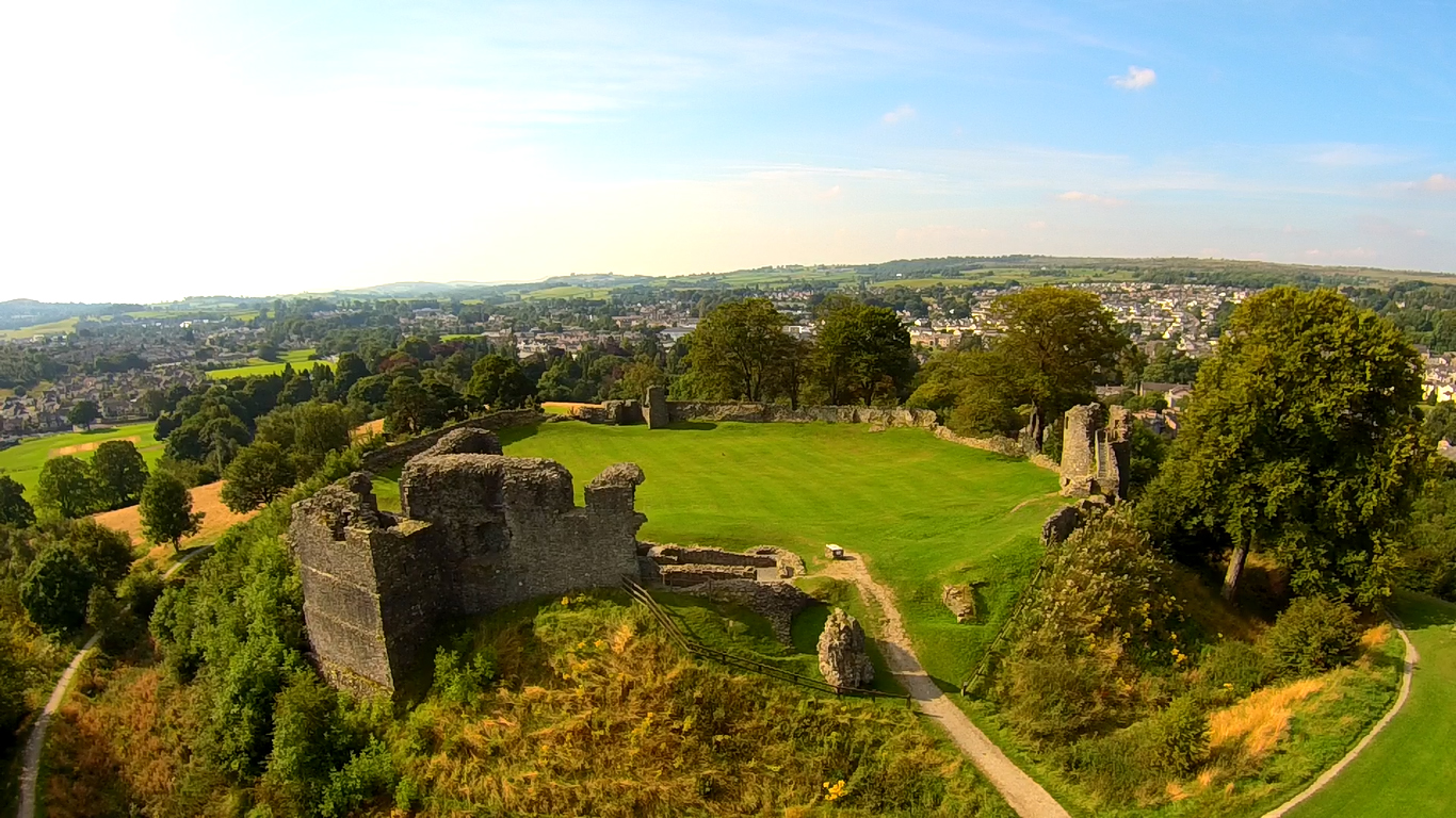
Kendal Castle
Kendal Castle is a medieval fortification to the east of the town of Kendal, Cumbria, in northern England. The castle, which is atop a glacial drumlin...

Westmorland General Hospital
Westmorland General Hospital (WGH) is a hospital near Oxenholme in Kendal, Cumbria, England. It is managed by the University Hospitals of Morecambe Bay...
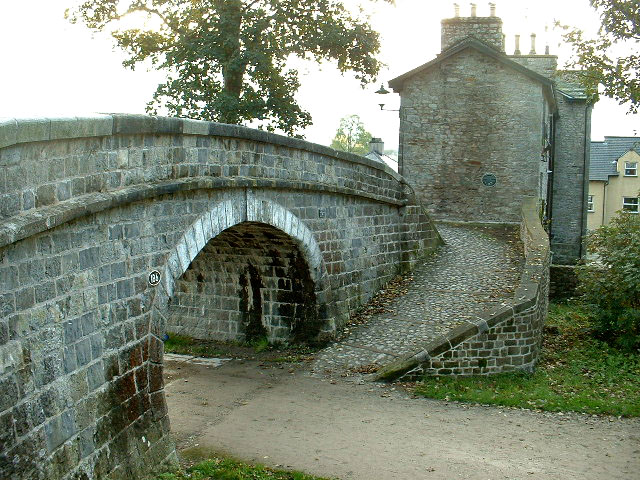
Change Bridge, Kendal
Change Bridge is a Grade II listed single-arch changeline bridge spanning what was formerly a section of the Lancaster Canal in the English market town...
Nearby Amenities
Located within 500m of 54.318676,-2.6975137Have you been to Capplerigg Plantation?
Leave your review of Capplerigg Plantation below (or comments, questions and feedback).