Harps Wood
Wood, Forest in Gloucestershire Forest of Dean
England
Harps Wood
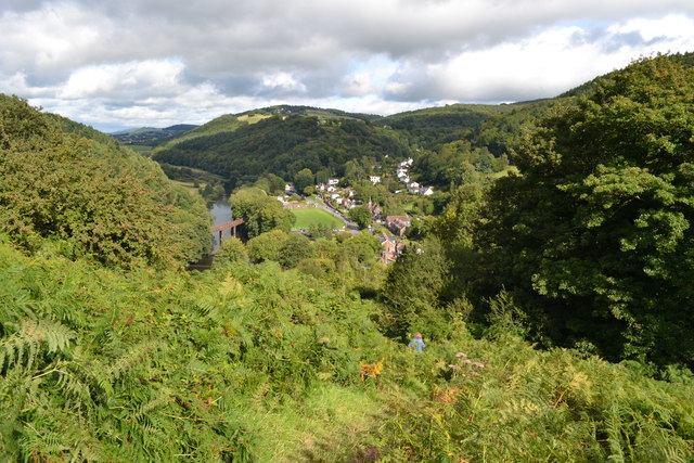
Harps Wood is a picturesque woodland located in the county of Gloucestershire, England. It covers an area of approximately 100 acres and is situated within the larger Forest of Dean, renowned for its natural beauty and rich biodiversity. The wood is easily accessible and can be found near the village of Harps Hill, just a short drive from the town of Coleford.
The woodland is predominantly composed of native broadleaf trees, including oak, beech, and ash, which create a stunning canopy and provide a habitat for a diverse range of flora and fauna. It is also home to a variety of wildlife, including deer, badgers, and various bird species, making it a popular destination for nature lovers and wildlife enthusiasts.
Harps Wood offers a tranquil and serene atmosphere, inviting visitors to explore its numerous walking trails and enjoy the peaceful surroundings. These paths wind their way through the wood, allowing visitors to immerse themselves in the natural beauty of the area and appreciate the changing seasons.
In addition to its natural beauty, Harps Wood also holds historical significance. The wood was once part of the ancient Royal Forest of Dean and has been managed sustainably for centuries, providing a valuable resource for timber and other woodland products.
Overall, Harps Wood is a hidden gem within the Forest of Dean, offering visitors a chance to escape the hustle and bustle of modern life and connect with nature in a truly breathtaking setting.
If you have any feedback on the listing, please let us know in the comments section below.
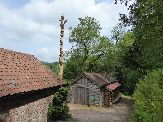
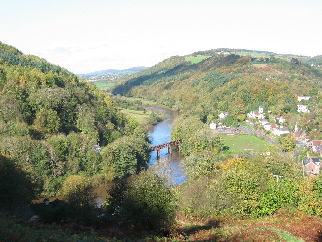
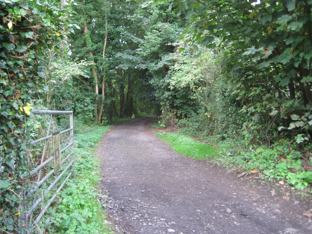
Harps Wood Images
Images are sourced within 2km of 51.787386/-2.6586654 or Grid Reference SO5410. Thanks to Geograph Open Source API. All images are credited.


Harps Wood is located at Grid Ref: SO5410 (Lat: 51.787386, Lng: -2.6586654)
Administrative County: Gloucestershire
District: Forest of Dean
Police Authority: Gloucestershire
What 3 Words
///handover.hint.pictures. Near Coleford, Gloucestershire
Nearby Locations
Related Wikis
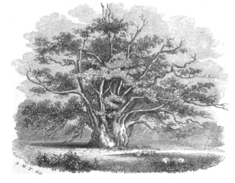
Newland Oak
The Newland Oak was a veteran oak tree in Newland, Gloucestershire in England. Originally part of the ancient woodland of the Forest of Dean, it survived...

Swanpool Wood and Furnace Grove
Swanpool Wood and Furnace Grove (grid reference SO541107) is a 13.59-hectare (33.6-acre) biological Site of Special Scientific Interest (a conservation...

Newland railway station
Newland railway station, also known as Cherry Orchard railway station, served the village of Newland, Gloucestershire, England, from 1883 to 1917 on the...

Redbrook Incline Bridge
The Redbrook Incline Bridge is a nineteenth-century tramway bridge that crosses the B4231 road at Redbrook on the England–Wales border. The bridge straddles...
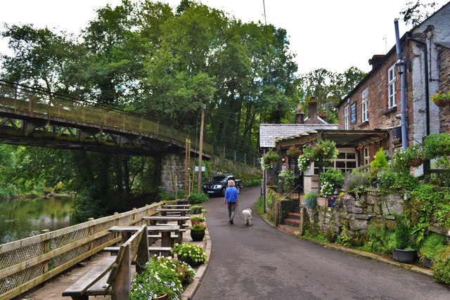
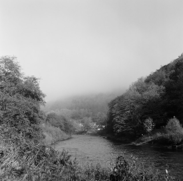
Redbrook
Redbrook is a village in Gloucestershire, England, adjoining the border with Monmouthshire, Wales. It is located on the River Wye and is within the Wye...

Penallt Viaduct
Penallt Viaduct is a viaduct that formerly carried the Wye Valley Railway over the River Wye, which at this location forms the border between England...
Penallt Halt railway station
Penallt Halt was a request stop on the former Wye Valley Railway. It was opened on 1 August 1931 and closed in 1959. Penallt Halt and Redbrook Station...

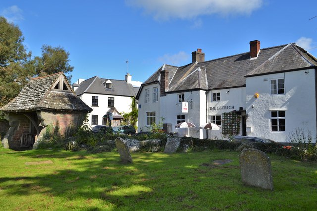
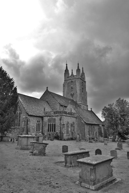
Newland, Gloucestershire
Newland is a village and civil parish in the Forest of Dean in Gloucestershire, England. situated on the east side of the River Wye, 3 miles (5 km) south...
Nearby Amenities
Located within 500m of 51.787386,-2.6586654Have you been to Harps Wood?
Leave your review of Harps Wood below (or comments, questions and feedback).