Nanny Brook Wood

Wood, Forest in Lancashire Wyre

England

Nanny Brook Wood

Approaching Grizedale Bridge Approaching the bridge over Grizedale Brook from the north, over the shoulder of Harrisend Fell
Approaching Grizedale Bridge Credit: Chris Heaton

Nanny Brook Wood is a picturesque woodland area located in Lancashire, England. Situated within the larger Nanny Brook Forest, it covers an area of approximately X square kilometers. The woodland is renowned for its natural beauty and diverse ecosystem, attracting nature enthusiasts, hikers, and photographers alike.

Nanny Brook Wood features a mix of deciduous and coniferous trees, including oak, beech, birch, and pine. This variety of trees creates a vibrant and ever-changing landscape throughout the seasons, with stunning displays of autumn foliage and lush greenery in the summer. The woodland floor is adorned with a rich carpet of wildflowers, adding to its charm and allure.

The wood is also home to a wide range of wildlife, making it a haven for nature lovers. Visitors may spot various bird species, such as woodpeckers, owls, and thrushes, as well as small mammals like squirrels and rabbits. Additionally, the wood provides a habitat for a diverse array of insects, including butterflies and beetles.

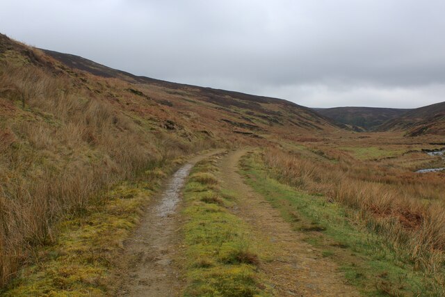
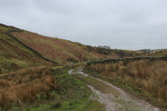
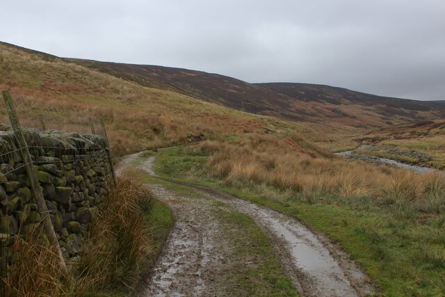
Nanny Brook Wood offers numerous walking trails, allowing visitors to explore its enchanting surroundings. These paths wind through the forest and lead to secluded clearings, babbling brooks, and tranquil ponds, providing a peaceful and serene setting for relaxation and reflection.

Overall, Nanny Brook Wood is a captivating woodland destination that showcases the natural beauty and biodiversity of Lancashire. Whether for a leisurely stroll, wildlife spotting, or simply immersing oneself in nature's wonders, this idyllic woodland offers a delightful experience for all who venture within its bounds.

If you have any feedback on the listing, please let us know in the comments section below.

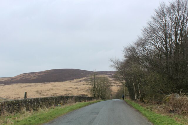
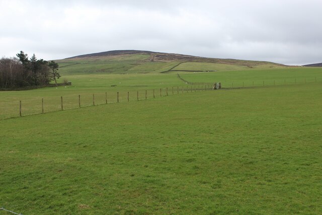
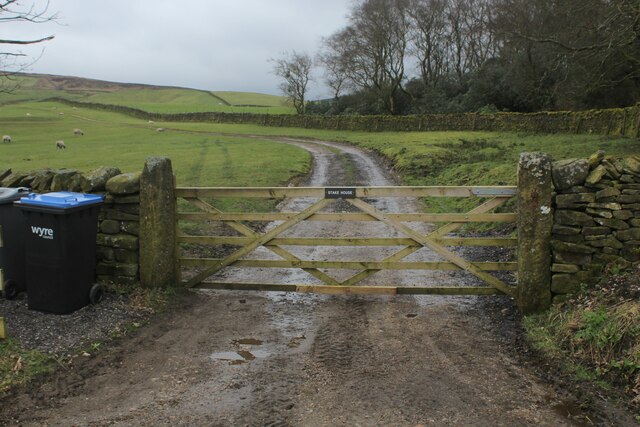
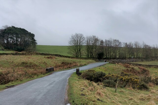
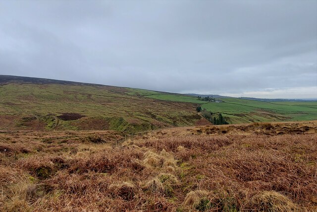
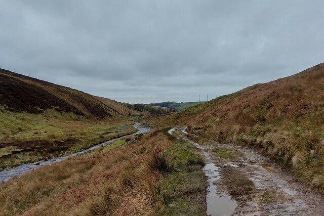
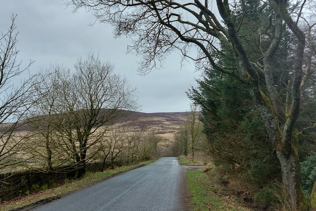
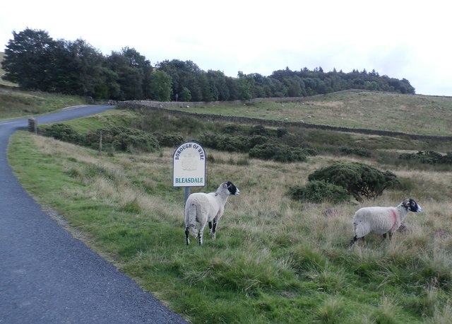
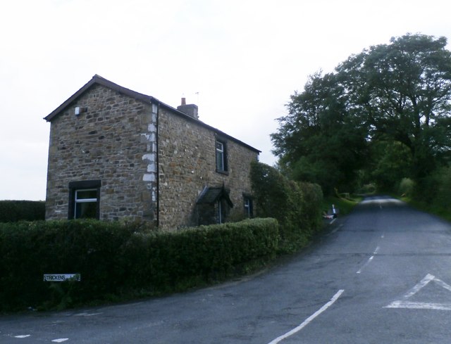
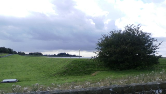
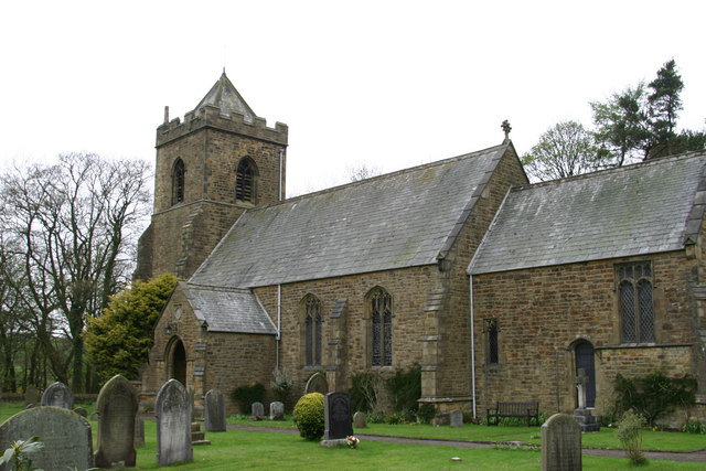
Nanny Brook Wood Images

Images are sourced within 2km of 53.921227/-2.6936251 or Grid Reference SD5447. Thanks to Geograph Open Source API. All images are credited.

Approaching Grizedale Bridge Approaching the bridge over Grizedale Brook from the north, over the shoulder of Harrisend Fell
Approaching Grizedale Bridge
Approaching the bridge over Grizedale Brook from the north, over the shoulder of Harrisend Fell
Access Track beside the River Calder Track leading from the curious shooting hut marked on the definitive map as "Arbour"
Access Track beside the River Calder
Track leading from the curious shooting hut marked on the definitive map as "Arbour"
River Calder
River Calder
Access Track heading towards Arbour The track follows the River Calder upstream to the shooting lodge of Arbour - just over half a mile away.
Access Track heading towards Arbour
The track follows the River Calder upstream to the shooting lodge of Arbour - just over half a mile away.
The Problem with the Access Track from Arbour On reaching the gate the track passes out of Open Access land, and anyone passing beyond is guilty of trespass.
The problem is this. The track beyond the gate is a nice easy walk on a firm surface to the road at Grizedale Lea Reservoir. The alternative and correct route is a nasty difficult climb to Grizedale Intake over tussocky and exhausting moor that keeps within Open Access territory, and then following Grizedale Brook over soggy marsh to the road.
The notice on the gate is barely legible - but one can make out the words "No Access"
The Problem with the Access Track from Arbour
On reaching the gate the track passes out of Open Access land, and anyone passing beyond is guilty of trespass. The problem is this. The track beyond the gate is a nice easy walk on a firm surface to the road at Grizedale Lea Reservoir. The alternative and correct route is a nasty difficult climb to Grizedale Intake over tussocky and exhausting moor that keeps within Open Access territory, and then following Grizedale Brook over soggy marsh to the road. The notice on the gate is barely legible - but one can make out the words "No Access"
Access Track beside the River Calder heading towards Arbour
Road descending towards Grizedale Bridge Passing a small stand of woodland on the descent to Grizedale Bridge, with Harrisend Fell visible in the distance
Road descending towards Grizedale Bridge
Passing a small stand of woodland on the descent to Grizedale Bridge, with Harrisend Fell visible in the distance
Pastures opposite Grizedale Lea Reservoir
Access to Stake House
Road to Oakenclough about to cross Grizedale Bridge The edge of the Howgill Fells rising to the left
Road to Oakenclough about to cross Grizedale Bridge
The edge of the Howgill Fells rising to the left
Looking south over the valley of Grizedale Brook Stake House farm on the opposite hillside
Looking south over the valley of Grizedale Brook
Stake House farm on the opposite hillside
The track from Arbour to the road at Calder Side Following the River Calder
The track from Arbour to the road at Calder Side
Following the River Calder
The River Calder at the foot of Calder Fell
Track following the River Calder out of the area of open access land This track continues to the tarred road to Oakenclough, but the boundary of the open access land is about ¾ mile short of the road. A legal route to the road would require us to climb out of this valley and struggle over 1 ½ miles of moorland to Grizedale Bridge. You must be joking!
Track following the River Calder out of the area of open access land
This track continues to the tarred road to Oakenclough, but the boundary of the open access land is about ¾ mile short of the road. A legal route to the road would require us to climb out of this valley and struggle over 1 ½ miles of moorland to Grizedale Bridge. You must be joking!
Road north from Oakenclough along the edge of the Bowland Fells The road runs close to the line of the former Roman road from Ribchester to Lancaster.
Road north from Oakenclough along the edge of the Bowland Fells
The road runs close to the line of the former Roman road from Ribchester to Lancaster.
Rough Pasture at Grizedale Bridge
Cottage on Strickens Lane - Oakenclough
Grizedale Lea Reservoir
Show me another place!

Nanny Brook Wood is located at Grid Ref: SD5447 (Lat: 53.921227, Lng: -2.6936251)

Administrative County: Lancashire

District: Wyre

Police Authority: Lancashire

What 3 Words

///bossy.announced.finally. Near Garstang, Lancashire

Related Wikis

Oakenclough

Oakenclough () is an English hamlet located on the edge of the Forest of Bowland in Lancashire. Oakenclough is a small and scattered community, which appears...

Calder Vale

Calder Vale is an English village, located on the edge of the Forest of Bowland in Lancashire. It lies on the River Calder in a deep valley with only...

Barnacre-with-Bonds

Barnacre-with-Bonds is a civil parish in the Wyre district of Lancashire, England. According to the 2001 census it had a population of 1,751 increasing...
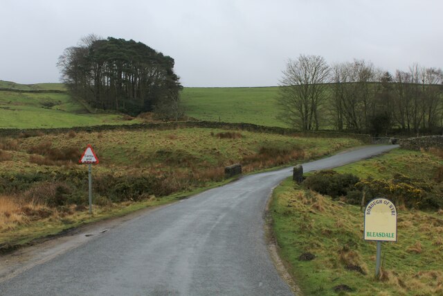
Bleasdale

Bleasdale is a village and civil parish in the Wyre district of Lancashire, England, in the Forest of Bowland Area of Outstanding Natural Beauty. The two...

Nearby Amenities

Located within 500m of 53.921227,-2.6936251
Strawberry Wood
Natural: wood
Lat/Long: 53.9226547/-2.6931785
The data included in this document is from www.openstreetmap.org. The data is made available under ODbL.

Have you been to Nanny Brook Wood?

Leave your review of Nanny Brook Wood below (or comments, questions and feedback).