Black Wood
Wood, Forest in Lancashire Wyre
England
Black Wood
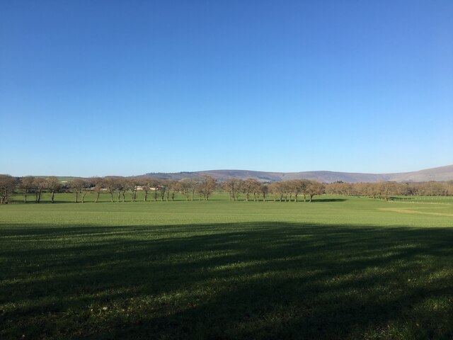
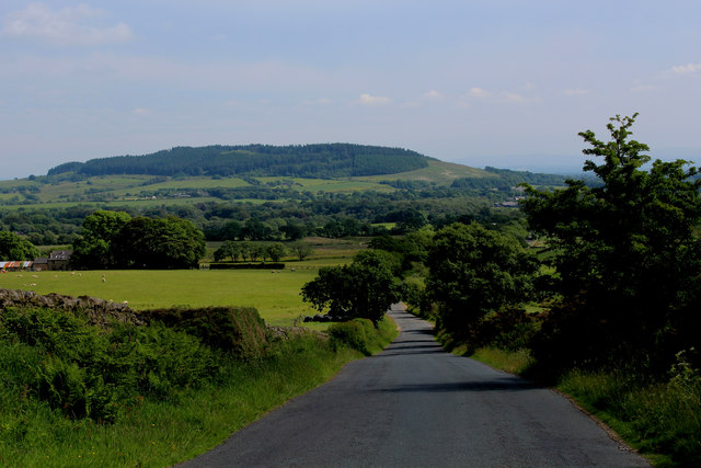
Black Wood is a small forest located in the county of Lancashire, England. Covering an area of approximately 50 acres, this woodland is situated near the village of Wood, hence its name. The forest is known for its dense canopy of predominantly deciduous trees, including oak, beech, and birch, which create a picturesque and serene environment.
The forest is home to a diverse range of flora and fauna, making it a popular destination for nature enthusiasts and wildlife observers. Visitors can expect to encounter various species of birds, such as woodpeckers, owls, and thrushes, as well as small mammals like squirrels and rabbits. The forest floor is adorned with a carpet of wildflowers during the spring and summer months, adding to the area's natural beauty.
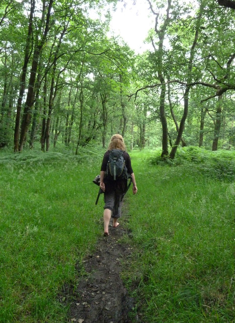
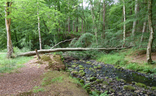
Black Wood offers a network of well-maintained walking trails that allow visitors to explore the forest at their own pace. These trails provide access to different parts of the woodland, enabling visitors to discover hidden clearings, babbling brooks, and ancient trees. The forest's tranquility and seclusion make it an ideal place for relaxation and contemplation, away from the hustle and bustle of urban life.
The forest is also actively managed by local conservation organizations, ensuring the preservation of its natural habitats. Efforts are made to maintain the delicate balance between human activities and the forest's ecosystem, with regular tree planting initiatives and the removal of invasive species.
Overall, Black Wood in Lancashire is a haven of natural beauty, offering visitors a chance to immerse themselves in the serenity of a woodland environment while appreciating the wonders of nature.
If you have any feedback on the listing, please let us know in the comments section below.
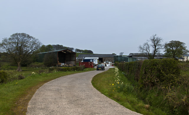
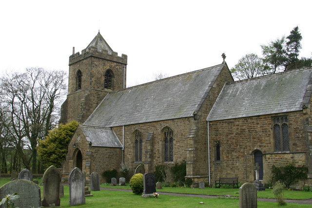
Black Wood Images
Images are sourced within 2km of 53.891927/-2.6935505 or Grid Reference SD5444. Thanks to Geograph Open Source API. All images are credited.


Black Wood is located at Grid Ref: SD5444 (Lat: 53.891927, Lng: -2.6935505)
Administrative County: Lancashire
District: Wyre
Police Authority: Lancashire
What 3 Words
///edgy.presides.smirking. Near Catterall, Lancashire
Nearby Locations
Related Wikis
Calder Vale
Calder Vale is an English village, located on the edge of the Forest of Bowland in Lancashire. It lies on the River Calder in a deep valley with only...

Claughton, Wyre
Claughton ( KLY-tən) is a sparse village and civil parish in the county of Lancashire in the north of England, in the Borough of Wyre. The population of...
Beacon Fell, Lancashire
Beacon Fell is a fell in the civil parish of Goosnargh in Lancashire, England. The high ground, which rises to 266 m (873 ft), has been a country park...

Barnacre-with-Bonds
Barnacre-with-Bonds is a civil parish in the Wyre district of Lancashire, England. According to the 2001 census it had a population of 1,751 increasing...
Nearby Amenities
Located within 500m of 53.891927,-2.6935505Have you been to Black Wood?
Leave your review of Black Wood below (or comments, questions and feedback).