Deepdale Enclosure
Wood, Forest in Lancashire Preston
England
Deepdale Enclosure
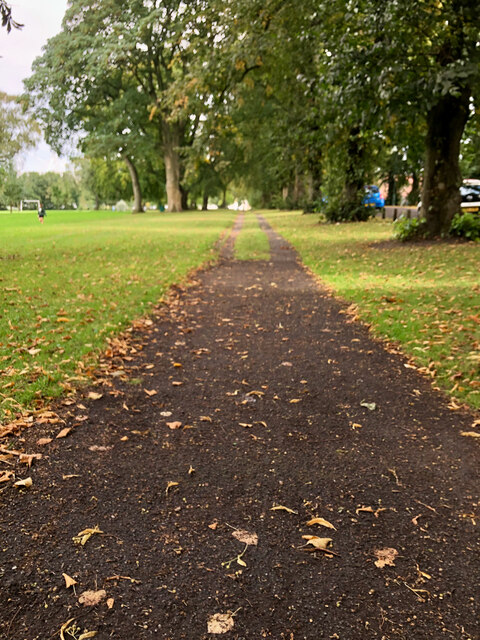
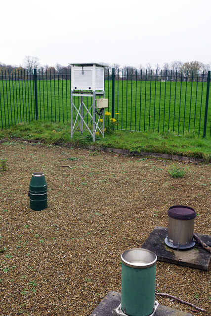
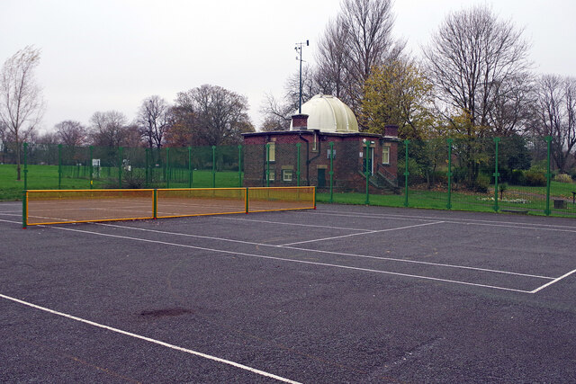
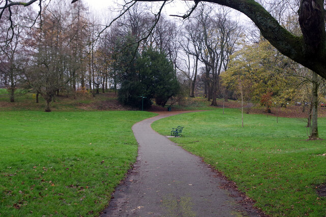
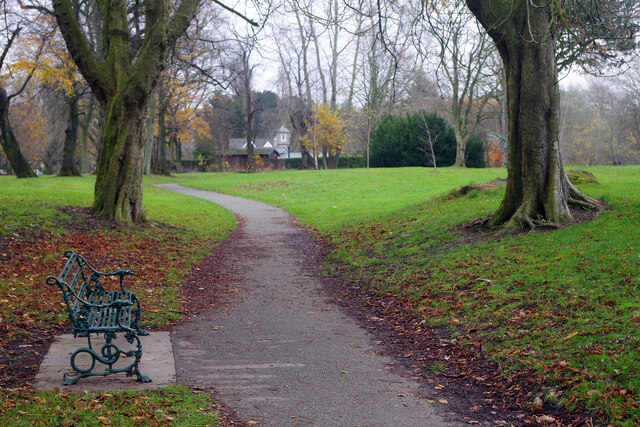
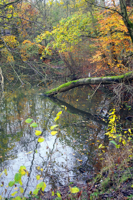
Deepdale Enclosure is a picturesque woodland located in the county of Lancashire, England. Situated within the larger Deepdale area, this enclosure is known for its dense forest cover and serene natural beauty. Spanning an area of approximately 100 acres, it offers a peaceful retreat for nature enthusiasts and outdoor adventurers alike.
The enclosure is characterized by its diverse range of tree species, including oak, beech, birch, and coniferous trees. The lush green foliage provides a habitat for numerous wildlife species, making it an ideal spot for birdwatching and wildlife observation. Visitors may have the opportunity to spot various bird species such as woodpeckers, owls, and finches, as well as mammals like squirrels and deer.
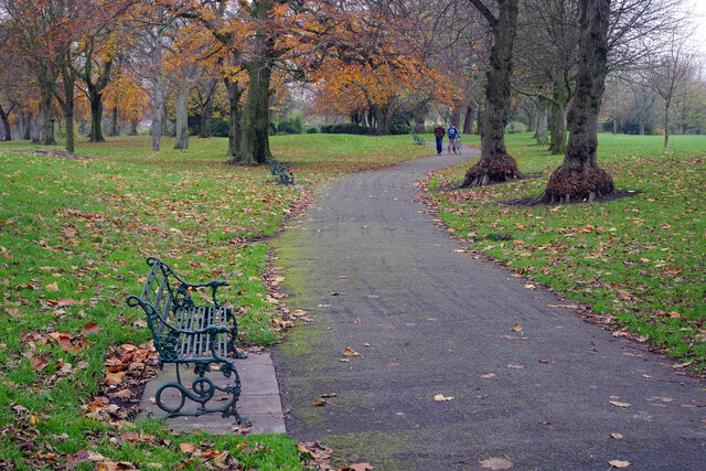
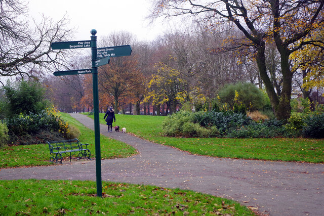
Trails and footpaths wind their way through the enclosure, allowing visitors to explore the woodland at their own pace. These paths are well-maintained and offer a pleasant walking experience amidst the tranquility of nature. For those seeking a more immersive experience, there are designated camping areas where visitors can spend the night under the canopy of stars.
Deepdale Enclosure also boasts a rich history, with evidence of human habitation dating back to ancient times. Archaeological remains, including flint tools and pottery fragments, have been discovered within the enclosure, providing insight into the lives of early settlers in the area.
Overall, Deepdale Enclosure is a hidden gem in Lancashire, offering visitors a chance to reconnect with nature, immerse themselves in woodland beauty, and explore the rich history of the region.
If you have any feedback on the listing, please let us know in the comments section below.
Deepdale Enclosure Images
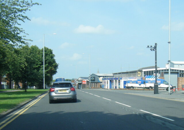
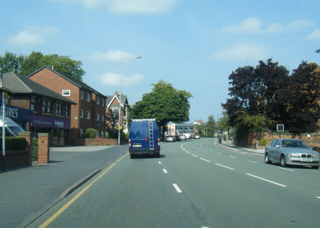
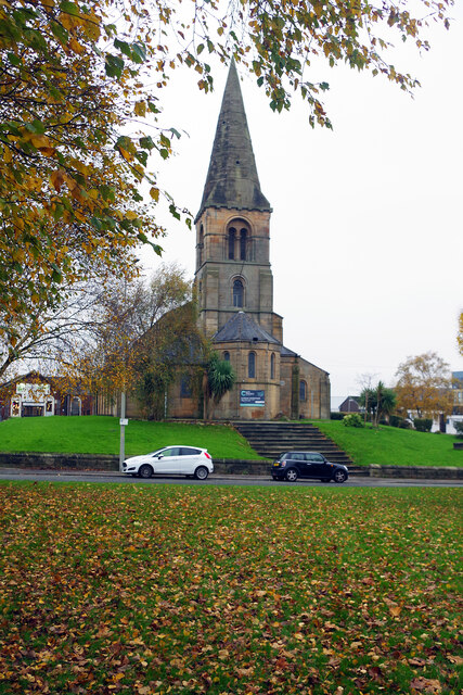
Images are sourced within 2km of 53.763956/-2.6915605 or Grid Reference SD5429. Thanks to Geograph Open Source API. All images are credited.


Deepdale Enclosure is located at Grid Ref: SD5429 (Lat: 53.763956, Lng: -2.6915605)
Administrative County: Lancashire
District: Preston
Police Authority: Lancashire
What 3 Words
///places.horses.volume. Near Preston, Lancashire
Nearby Locations
Related Wikis

Deepdale Street railway station
Deepdale Street railway station was the original Preston terminus of the Preston and Longridge Railway in Lancashire, England, when it first opened in...
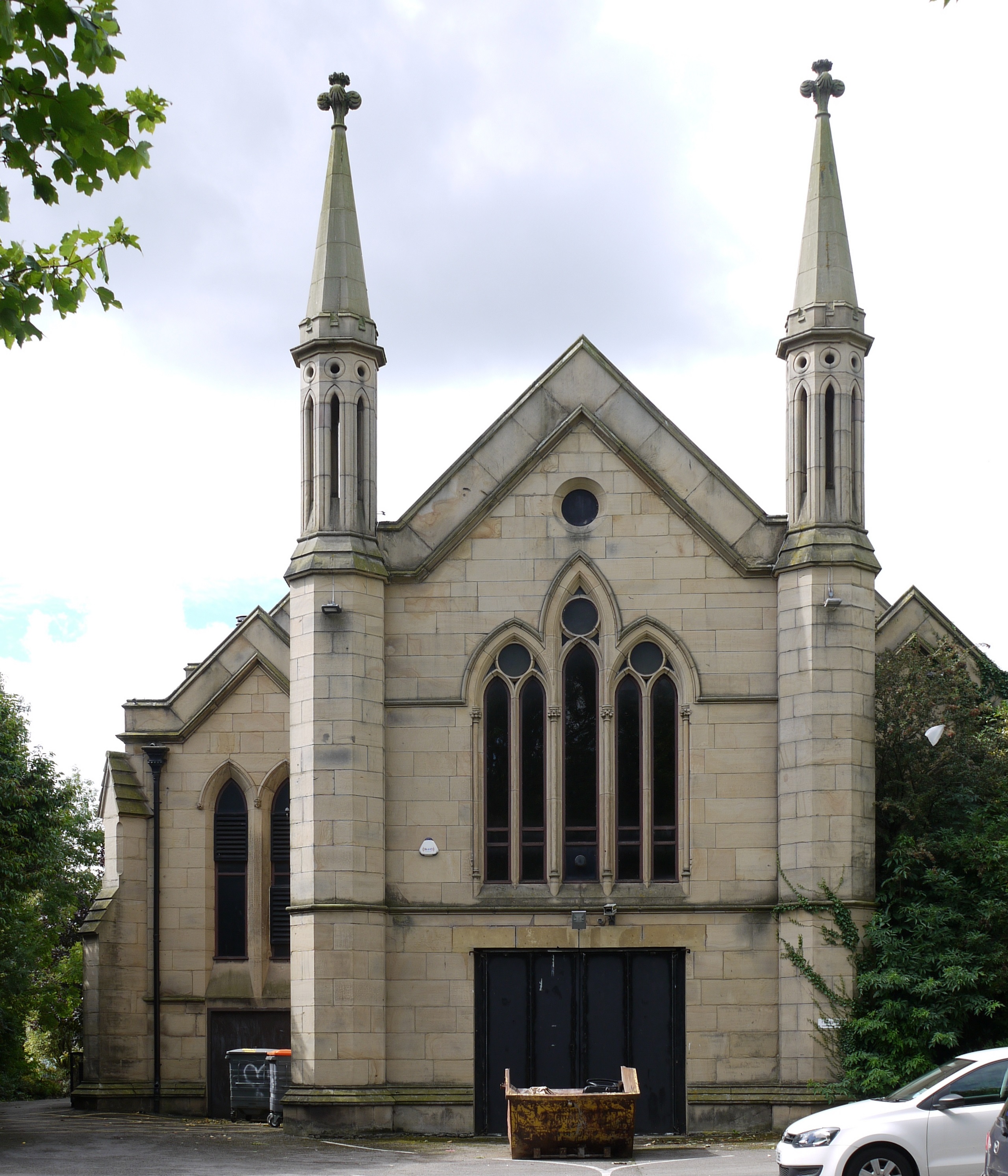
St Paul's Church, Preston, Lancashire
St Paul's Church is a redundant Anglican parish church in St Paul's Square, Preston, Lancashire, England. It is recorded in the National Heritage List...
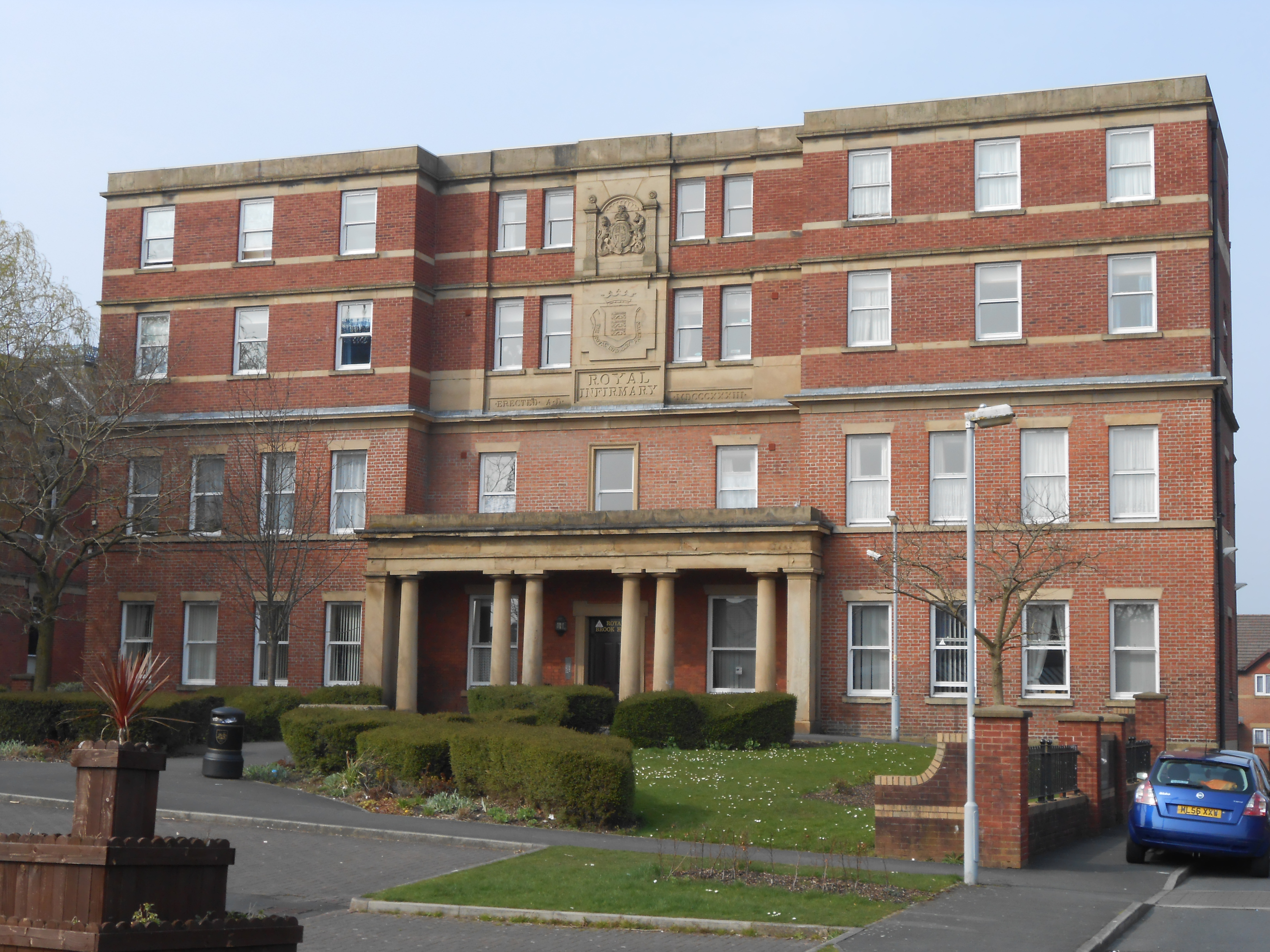
Preston Royal Infirmary
The Preston Royal Infirmary was an acute general hospital in Preston, Lancashire, England. Two remaining buildings are Grade II listed buildings. ��2...
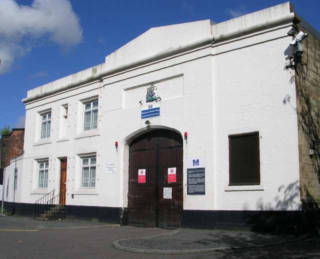
HM Prison Preston
HM Prison Preston is a Category B men's prison, located in the City Centre area of Preston in Lancashire, England. The prison is operated by His Majesty...
Nearby Amenities
Located within 500m of 53.763956,-2.6915605Have you been to Deepdale Enclosure?
Leave your review of Deepdale Enclosure below (or comments, questions and feedback).