Redholm Coppice

Wood, Forest in Dorset

England

Redholm Coppice

Ambulance Trapped in Floods at Powerstock Common This shows an ambulance trapped under the old railway bridge on the former Bridport branch line from Maiden Newton. The car on the other side had just arrived to render assistance to the two paramedics in the ambulance. A recovery vehicle had been summoned to pull the ambulance out but it had not yet arrived.
Ambulance Trapped in Floods at Powerstock Common Credit: Nigel Mykura

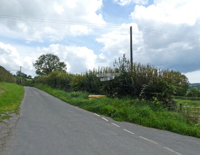
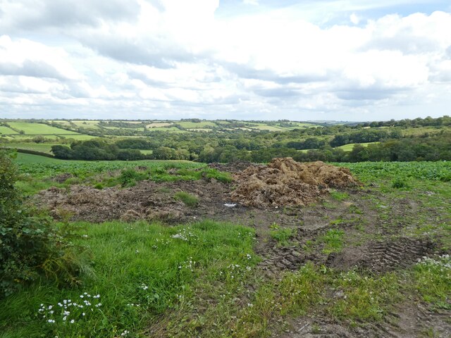
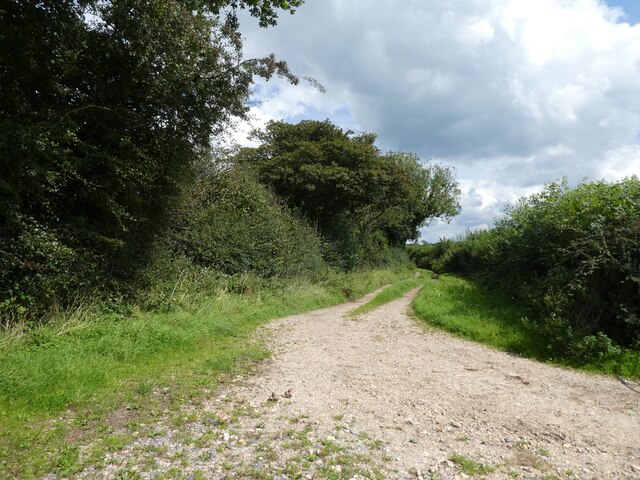
Redholm Coppice is a picturesque woodland located in the county of Dorset, England. Spanning over an area of approximately 50 acres, it is renowned for its natural beauty and rich biodiversity. The coppice is situated in a rural setting, surrounded by rolling hills and fields, creating a tranquil and secluded atmosphere.

The woodland is primarily composed of native tree species such as oak, ash, beech, and hazel. These trees form a dense canopy, casting dappled sunlight onto the forest floor, creating an enchanting and ethereal ambiance. The undergrowth is abundant with wildflowers, ferns, and mosses, adding a splash of color and texture to the woodland.

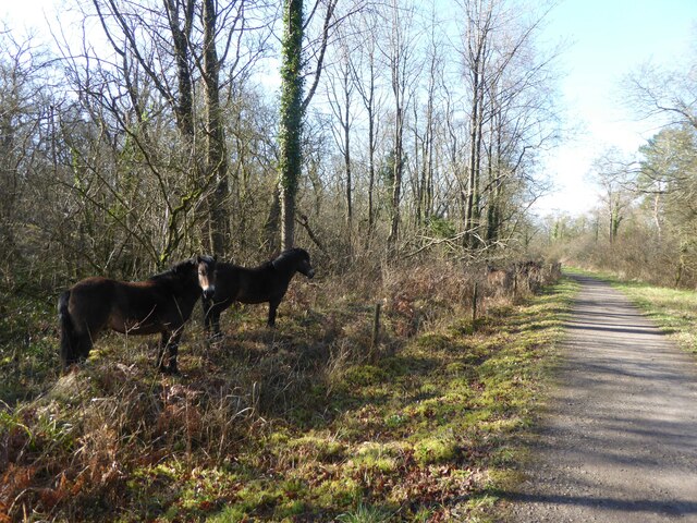
Redholm Coppice is also home to a diverse range of wildlife. The forest provides a habitat for various bird species, including woodpeckers, owls, and songbirds. Small mammals such as foxes, rabbits, and squirrels can also be spotted darting through the underbrush. The woodland is teeming with insects, butterflies, and bees, attracted to the nectar-rich flowers.

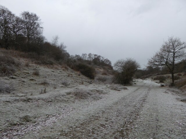
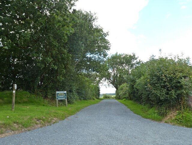
Visitors to Redholm Coppice can explore the woodland through a network of well-maintained footpaths, allowing them to fully immerse themselves in the natural surroundings. The paths wind through the trees, offering glimpses of the stunning vistas and allowing for peaceful walks or leisurely picnics.

In addition to its natural beauty, Redholm Coppice also has historical significance. It is believed to have been used as a traditional coppicing site in the past, where trees were regularly harvested for their wood. Today, the woodland is managed by a local conservation group, ensuring the preservation of its unique ecosystem.

Overall, Redholm Coppice is a captivating woodland, offering visitors a chance to escape the hustle and bustle of daily life and immerse themselves in the beauty of nature.

If you have any feedback on the listing, please let us know in the comments section below.

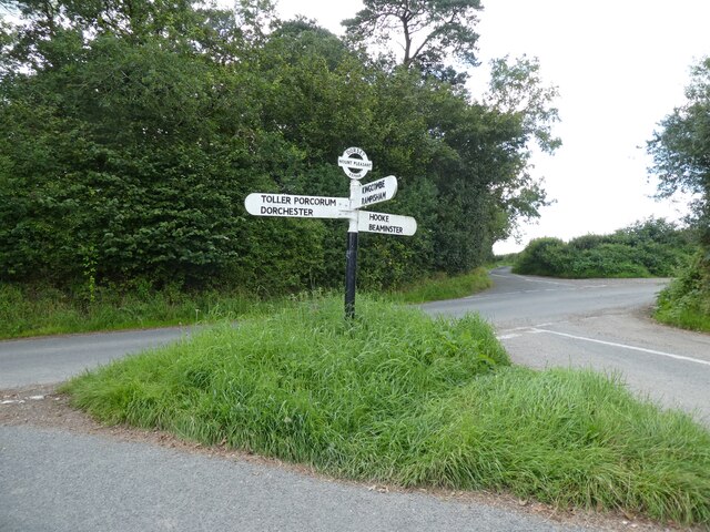
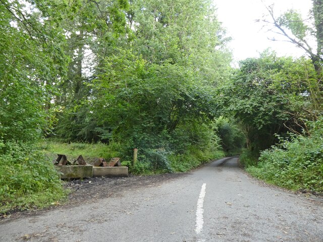
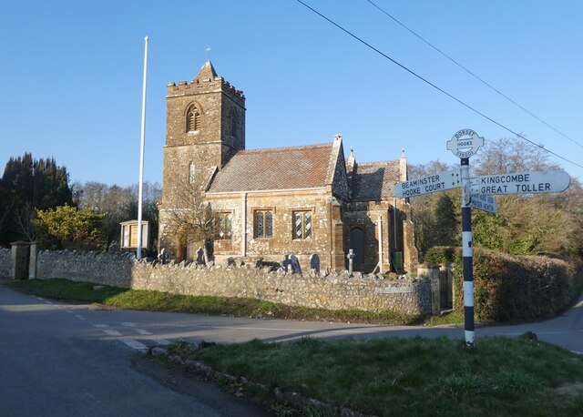
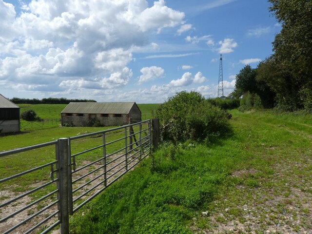
Redholm Coppice Images

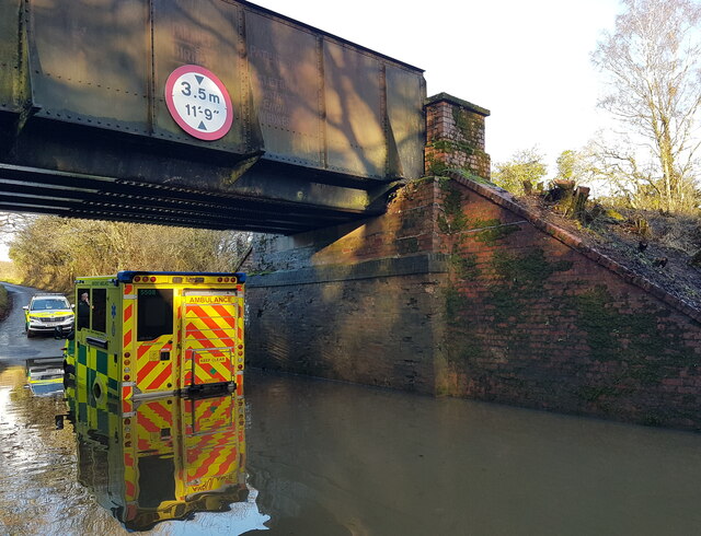
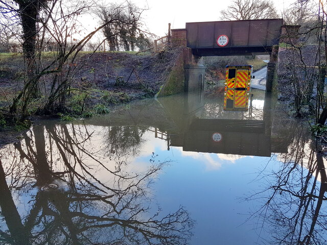
Images are sourced within 2km of 50.787196/-2.647484 or Grid Reference SY5498. Thanks to Geograph Open Source API. All images are credited.

Ambulance Trapped in Floods at Powerstock Common This shows an ambulance trapped under the old railway bridge on the former Bridport branch line from Maiden Newton. The car on the other side had just arrived to render assistance to the two paramedics in the ambulance. A recovery vehicle had been summoned to pull the ambulance out but it had not yet arrived.
Ambulance Trapped in Floods at Powerstock Common
This shows an ambulance trapped under the old railway bridge on the former Bridport branch line from Maiden Newton. The car on the other side had just arrived to render assistance to the two paramedics in the ambulance. A recovery vehicle had been summoned to pull the ambulance out but it had not yet arrived.
Ambulance Stuck in Floods at Powerstock Common (2) This shows the ambulance shortly after it had got stuck under the old railway bridge on the former branch line from Maiden Newton to Bridport. This bridge frequently floods but this is the worst I have seen there.
Ambulance Stuck in Floods at Powerstock Common (2)
This shows the ambulance shortly after it had got stuck under the old railway bridge on the former branch line from Maiden Newton to Bridport. This bridge frequently floods but this is the worst I have seen there.
Line of disused railway, Powerstock Common, winter Line of the former Maiden Newton to Bridport branch line which closed in 1975.  This section of the line is now part of Kingcombe National Nature Reserve.
Line of disused railway, Powerstock Common, winter
Line of the former Maiden Newton to Bridport branch line which closed in 1975. This section of the line is now part of Kingcombe National Nature Reserve.
Line of disused railway, Powerstock Common Line of the former Maiden Newton to Bridport branch line which closed in 1975.  This section of the line is now part of Kingcombe National Nature Reserve.  Ponies grazing the reserve can be seen beside the  line.
Line of disused railway, Powerstock Common
Line of the former Maiden Newton to Bridport branch line which closed in 1975. This section of the line is now part of Kingcombe National Nature Reserve. Ponies grazing the reserve can be seen beside the line.
Crossroads at Higher Kingcombe
Rock House Restored and extended since 2012: <a href="https://www.geograph.org.uk/photo/2783106">SY5499 : House at Higher Kingcombe</a>
Rock House
Restored and extended since 2012: SY5499 : House at Higher Kingcombe
Landscape with dung
Landscape with dung
Private road to Stapleford Farm
Signpost at Mount Pleasant
Turning for Hooke
Turning for Hooke
St Giles Church, Hooke
Higher Kingcombe Barn
Track on Rampisham Down
St Giles' Church, Hooke, Dorset Of late 14th/early 15th-century build, the church was extensively restored and rebuilt between 1840 and 1874.
St Giles' Church, Hooke, Dorset
Of late 14th/early 15th-century build, the church was extensively restored and rebuilt between 1840 and 1874.
St Giles' Church, Hooke, Dorset Of late 14th/early 15th-century build, the church was extensively restored and rebuilt between 1840 and 1874.
St Giles' Church, Hooke, Dorset
Of late 14th/early 15th-century build, the church was extensively restored and rebuilt between 1840 and 1874.
St Giles' Church, Hooke, Dorset Of late 14th/early 15th-century build, the church was extensively restored and rebuilt between 1840 and 1874.
St Giles' Church, Hooke, Dorset
Of late 14th/early 15th-century build, the church was extensively restored and rebuilt between 1840 and 1874.
St Giles' Church, Hooke, Dorset The Nave.
St Giles' Church, Hooke, Dorset
The Nave.
St Giles' Church, Hooke, Dorset An almost non-existent Chancel and the Sanctuary.
St Giles' Church, Hooke, Dorset
An almost non-existent Chancel and the Sanctuary.
Show me another place!

Redholm Coppice is located at Grid Ref: SY5498 (Lat: 50.787196, Lng: -2.647484)

Unitary Authority: Dorset

Police Authority: Dorset

What 3 Words

///majority.forever.satellite. Near Maiden Newton, Dorset

Related Wikis

Drackenorth

Drackenorth or Drakenorth is a prominent hill, 221 metres (725 ft) high, 3 km NNE of Powerstock on the Jubilee Trail in the county of Dorset in southern...

Hooke, Dorset

Hooke is a small village and civil parish in the county of Dorset in southern England, situated about 7 miles (11 km) northeast of the town of Bridport...

Warren Hill, Hooke, Dorset

Warren Hill is a prominent elevation, 215 metres (705 ft) high, 1 kilometre southwest of the hamlet of Hooke, in the county of Dorset in southern England...

Toller railway station

Toller was a railway station on the Bridport Railway in the west of the English county of Dorset. The station served the village of Toller Porcorum. Opened...

Toller Porcorum

Toller Porcorum () is a village and civil parish in Dorset, England, situated in the Toller valley 10 miles (16 km) northwest of Dorchester. In the 2011...
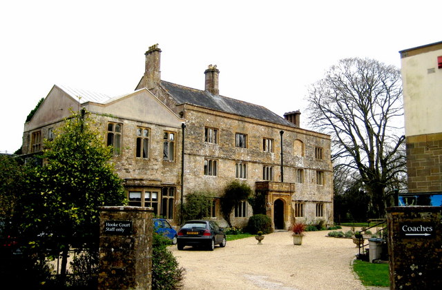
Hooke Court

Hooke Court is a 17th-century manor house in the parish of Hooke in Dorset, England. It is a Grade II* listed building built around the time of the English...
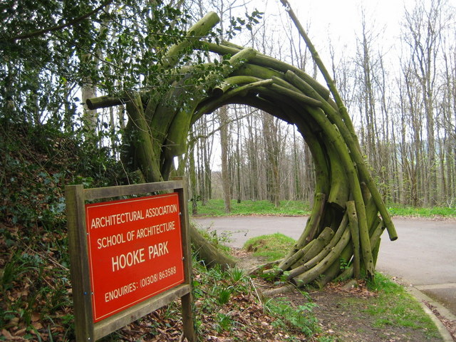
Hooke Park

Hooke Park is a 142 hectare woodland in Dorset, South West England located near the town of Beaminster and within the Dorset Area of Outstanding Natural...

Rampisham Down

Rampisham Down is a chalk hill in the Dorset Downs, eight miles north west of Dorchester in west Dorset, England. The highest part of the hill is 221...

Nearby Amenities

Located within 500m of 50.787196,-2.647484
The data included in this document is from www.openstreetmap.org. The data is made available under ODbL.

Have you been to Redholm Coppice?

Leave your review of Redholm Coppice below (or comments, questions and feedback).