Mason's Wood

Wood, Forest in Lancashire Preston

England

Mason's Wood

M6 northbound by Fulwood
M6 northbound by Fulwood Credit: Alpin Stewart

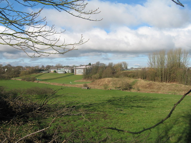
Mason's Wood is a picturesque forest located in Lancashire, England. Covering an area of approximately 500 acres, this woodland is known for its diverse range of flora and fauna, making it a popular destination for nature lovers and outdoor enthusiasts.

The forest is named after the Mason family, who were the original owners of the land. It has been well-preserved over the years, with efforts made to maintain its natural beauty and protect its biodiversity. Mason's Wood boasts a mixture of broadleaf and coniferous trees, including oak, beech, and pine, providing a stunning backdrop for visitors.

The forest offers a variety of recreational activities, including hiking, cycling, and bird watching. There are numerous trails that wind through the woodland, allowing visitors to explore its hidden gems and discover its abundant wildlife. Various species of birds, such as woodpeckers and owls, can be spotted in the trees, while small mammals like foxes and squirrels can be glimpsed scurrying through the undergrowth.

Mason's Wood is also home to a tranquil lake, where visitors can enjoy fishing or simply relax by the water's edge. The lake is teeming with fish, making it a popular spot for anglers of all skill levels.

Overall, Mason's Wood offers a serene and immersive experience in the heart of Lancashire. Its natural beauty and wide range of recreational activities make it a beloved destination for locals and tourists alike, providing a much-needed escape from the hustle and bustle of everyday life.

If you have any feedback on the listing, please let us know in the comments section below.

Mason's Wood Images

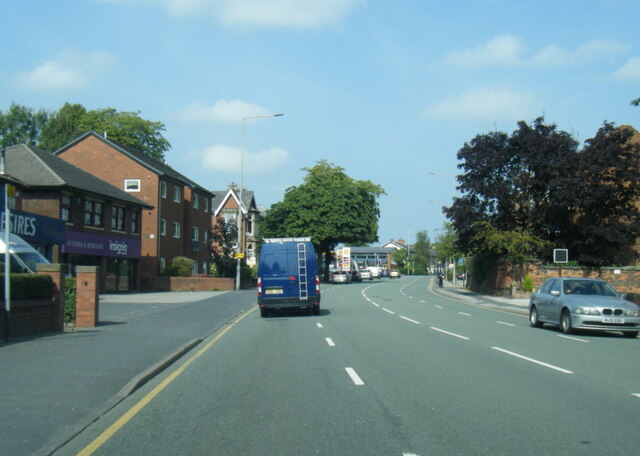
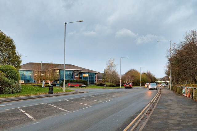
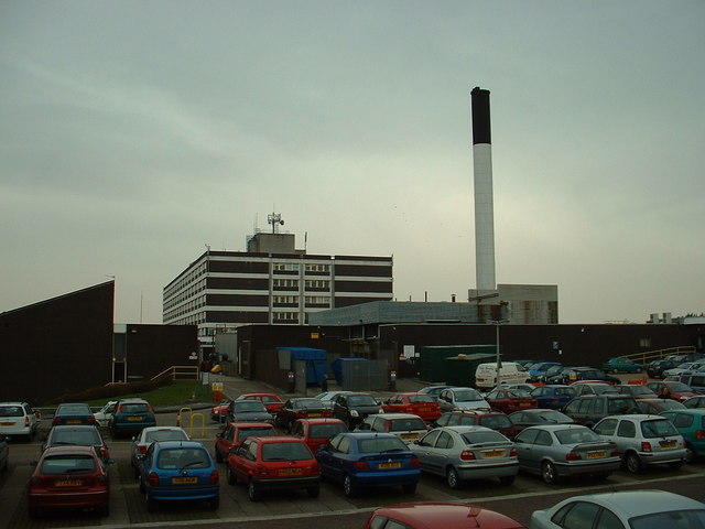
Images are sourced within 2km of 53.791499/-2.6942147 or Grid Reference SD5433. Thanks to Geograph Open Source API. All images are credited.

M6 northbound by Fulwood
Junction of M6 and M55
A6 Garstang Road northbound in Fulwood
Junction 32 signage - northbound M6
Durton Lane bridge - northbound M6
M55 bridge - northbound M6
James Towers Way, Broughton, near Preston James Towers Way opened in October 2017.  It is part of the A6 road, bypassing the village of Broughton.
James Towers Way, Broughton, near Preston
James Towers Way opened in October 2017. It is part of the A6 road, bypassing the village of Broughton.
Asda Fulwood Superstore
Fulwood Park, Pittman Way
Fulwood Asda
Fulwood Asda
Bonnets and boots
Bonnets and boots
Entrance to Haighton House Private driveway to Haighton House, adopted by a public footpath
Entrance to Haighton House
Private driveway to Haighton House, adopted by a public footpath
The Mount Large house as seen from Fernyhalgh Bridge in the shadow of the M6
The Mount
Large house as seen from Fernyhalgh Bridge in the shadow of the M6
Trailer above Fernyhalgh Bridge Isolated trailer in a pasture beside the M6.
Graffiti adorns one side, while advertising faces the motorway itself.
Trailer above Fernyhalgh Bridge
Isolated trailer in a pasture beside the M6. Graffiti adorns one side, while advertising faces the motorway itself.
St. Mary's RC Church, Fernyhalgh Fine red brick church near Preston, dating back to 1794
St. Mary's RC Church, Fernyhalgh
Fine red brick church near Preston, dating back to 1794
Fernyhalgh Lane No through road heading south from Haighton Green
Fernyhalgh Lane
No through road heading south from Haighton Green
Strip of Woodland between Midgery Lane and the M6 Hidden strip of woodland sandwiched between an industrial estate and the M6, conceals a public footpath
Strip of Woodland between Midgery Lane and the M6
Hidden strip of woodland sandwiched between an industrial estate and the M6, conceals a public footpath
Midgery Lane Heading northwest from an industrial estate to D'Urton Lane
Midgery Lane
Heading northwest from an industrial estate to D'Urton Lane
Show me another place!

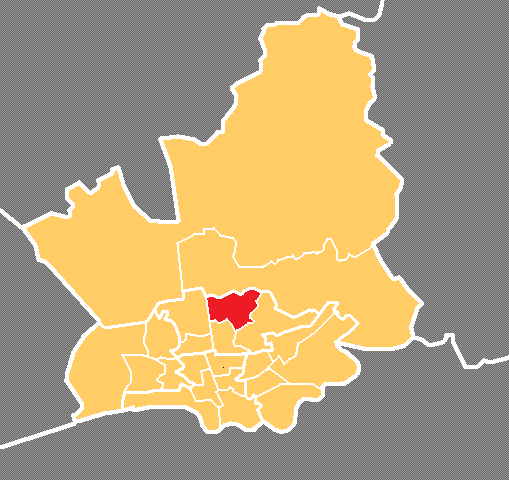
Mason's Wood is located at Grid Ref: SD5433 (Lat: 53.791499, Lng: -2.6942147)

Administrative County: Lancashire

District: Preston

Police Authority: Lancashire

What 3 Words

///likely.begins.snack. Near Preston, Lancashire

Nearby Locations

Mason's Wood

Related Wikis

Sharoe Green

Sharoe Green () is a largely residential suburban area of Preston, Lancashire, England, and an electoral ward. It is nowadays usually considered to be...

Royal Preston Hospital

The Royal Preston Hospital or RPH, is an acute general hospital in Preston, Lancashire, England. It is managed by the Lancashire Teaching Hospitals NHS...

Preston College

Preston College is a further education college in the city of Preston, Lancashire, England. The college originally opened as W. R. Tuson College in September...

Archbishop Temple School

Archbishop Temple Church of England High School is a voluntary aided Church of England secondary school, situated in the city of Preston in Lancashire...

Nearby Amenities

Located within 500m of 53.791499,-2.6942147
Barrier: kissing_gate
Foot: yes
Lat/Long: 53.7936262/-2.691222
Traffic Signals
Crossing: traffic_signals
Crossing Ref: pelican
Lat/Long: 53.7937012/-2.6909562
Fixme: incomplete
Lat/Long: 53.7902211/-2.6963612
Barrier: kissing_gate
Foot: yes
Lat/Long: 53.7938049/-2.6907105
Ford: yes
Lat/Long: 53.7877598/-2.6958557
Pub
The Sherwood
Addr City: Preston
Addr Postcode: PR2 9GA
Addr Street: Sherwood Way
Fhrs Id: 92652
Outdoor Seating: yes
Lat/Long: 53.7932779/-2.6968748
Sherwood
Place: neighbourhood
Source: OS_OpenData_StreetView
Lat/Long: 53.7930764/-2.6965866
Place Of Worship
North Preston Evangelical Church
Addr City: Preston
Addr Postcode: PR2 9GA
Addr Street: Sherwood Way
Denomination: evangelical
Fhrs Id: 479846
Religion: christian
Lat/Long: 53.7934863/-2.697226
Barrier: kissing_gate
Foot: yes
Lat/Long: 53.7878799/-2.6977136
Steps
Lat/Long: 53.7871034/-2.6956415
EKM
Addr City: Preston
Addr Place: Fulwood
Addr Postcode: PR2 9ZB
Addr Street: Caxton Road
Office: it
Opening Hours: "by appointment"
Lat/Long: 53.7922178/-2.6873025
Golf: pin
Lat/Long: 53.7895/-2.6878643
Golf: pin
Lat/Long: 53.7920611/-2.6909381
Golf: pin
Lat/Long: 53.7913581/-2.6906699
Golf: pin
Lat/Long: 53.7899546/-2.6947844
Golf: pin
Lat/Long: 53.7879523/-2.6948863
Golf: pin
Lat/Long: 53.7896982/-2.6885349
Golf: pin
Lat/Long: 53.7902721/-2.6898009
Golf: pin
Lat/Long: 53.7886579/-2.6913968
Golf: pin
Lat/Long: 53.7873879/-2.6944317
Golf: pin
Lat/Long: 53.787979/-2.6911694
Post Box
Operator: Royal Mail
Post Box Type: pillar
Source: streetlevel_imagery
Lat/Long: 53.7927636/-2.6964073
Bus Stop
Bus: yes
Naptan AtcoCode: 2500DCL3021
Naptan NaptanCode: landgjgm
Public Transport: platform
Lat/Long: 53.7956308/-2.6955655
Bus Stop
Bus: yes
Naptan AtcoCode: 25001072
Naptan NaptanCode: lanadmpd
Public Transport: platform
Lat/Long: 53.7955287/-2.6954232
Bus Stop
Bus: yes
Naptan AtcoCode: 2500IMG1204
Naptan NaptanCode: landpjwd
Public Transport: platform
Lat/Long: 53.7892224/-2.7003184
Bus Stop
Bus: yes
Naptan AtcoCode: 2500DCL3016
Naptan NaptanCode: landgjdt
Public Transport: platform
Lat/Long: 53.7892831/-2.6996743
The data included in this document is from www.openstreetmap.org. The data is made available under ODbL.

Have you been to Mason's Wood?

Leave your review of Mason's Wood below (or comments, questions and feedback).