Cold Nose Plantation
Wood, Forest in Somerset Mendip
England
Cold Nose Plantation
Cold Nose Plantation is a picturesque woodland area located in Somerset, England. Spanning over a vast area, the plantation is renowned for its dense forests and captivating natural beauty. The plantation is situated in close proximity to the town of Somerset, making it easily accessible for both locals and tourists.
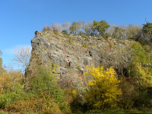
The main feature of Cold Nose Plantation is its dense woodlands, consisting of a variety of tree species, including oak, beech, and pine. These trees create a serene and tranquil environment, with their towering presence and rustling leaves. The diverse flora and fauna found within the plantation make it a haven for nature enthusiasts and wildlife observers.
Visitors to Cold Nose Plantation can enjoy several activities to make the most of their experience. The well-maintained network of walking trails offers an opportunity to explore the plantation's scenic beauty while enjoying a leisurely stroll. Birdwatching is a popular pastime here, as the plantation is home to a wide range of bird species, including woodpeckers, owls, and various songbirds.
In addition to its natural allure, Cold Nose Plantation also has historical significance. The plantation has witnessed centuries of human settlement, with remnants of old structures and ruins scattered throughout the area. These historic features add an extra layer of intrigue to the plantation, allowing visitors to delve into its rich past.
Overall, Cold Nose Plantation in Somerset offers a captivating blend of natural beauty, recreational activities, and historical charm. Whether one seeks tranquility amidst nature or wishes to explore the plantation's historical heritage, Cold Nose Plantation is a must-visit destination for nature lovers and history enthusiasts alike.
If you have any feedback on the listing, please let us know in the comments section below.
Cold Nose Plantation Images
Images are sourced within 2km of 51.221125/-2.6549157 or Grid Reference ST5447. Thanks to Geograph Open Source API. All images are credited.


Cold Nose Plantation is located at Grid Ref: ST5447 (Lat: 51.221125, Lng: -2.6549157)
Administrative County: Somerset
District: Mendip
Police Authority: Avon and Somerset
What 3 Words
///having.unfilled.custodial. Near Wells, Somerset
Nearby Locations
Related Wikis
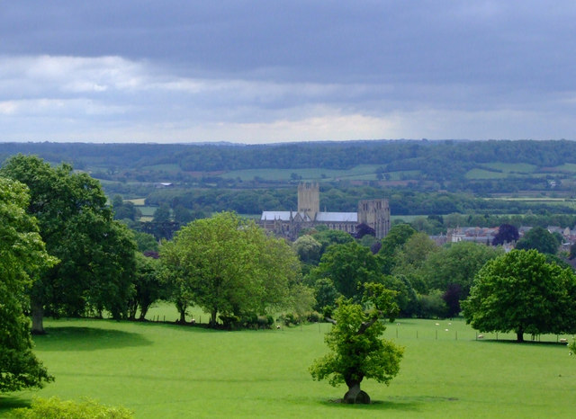
Milton Lodge
Milton Lodge is a house and garden overlooking the city of Wells in the English county of Somerset. The terraced garden, which was laid out in the early...
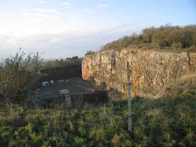
Underwood Quarry
Underwood Quarry is a former quarry near Wells, Somerset on the southern edge of the Mendip Hills that produced Carboniferous Limestone. The rock was described...

The Blue School, Wells
The Blue School is a coeducational, secondary school located in Wells, Somerset, England. It had 1,570 students aged 11 to 18 of both sexes and all ability...
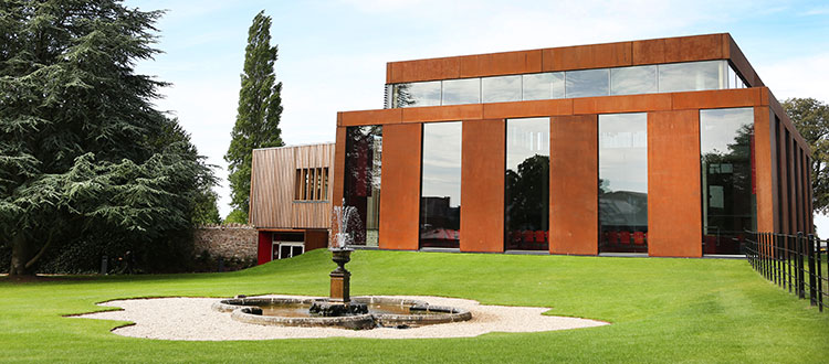
Cedars Hall
Cedars Hall is Wells Cathedral School's performing arts venue located in Wells, Somerset, England. Opened in autumn 2016, it provides the capacity for...
Nearby Amenities
Located within 500m of 51.221125,-2.6549157Have you been to Cold Nose Plantation?
Leave your review of Cold Nose Plantation below (or comments, questions and feedback).