Dennis Grove
Wood, Forest in Herefordshire
England
Dennis Grove
Dennis Grove is a small village located in the county of Herefordshire, England. Situated in the heart of the woodlands and forests, it offers a tranquil and picturesque setting for residents and visitors alike. The village is nestled amidst rolling hills and lush greenery, providing a true escape from the hustle and bustle of city life.
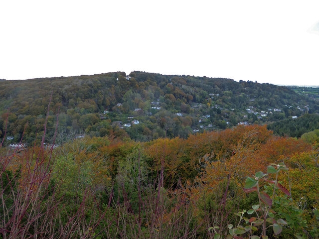
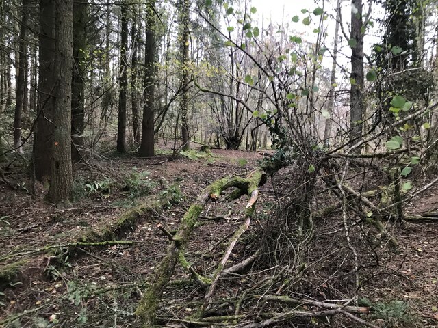
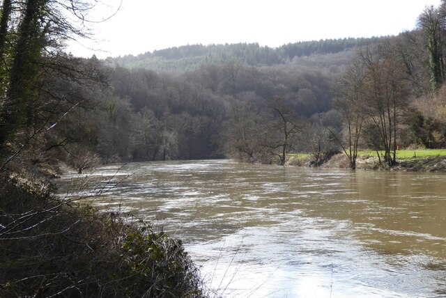
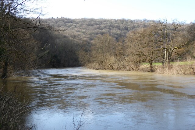
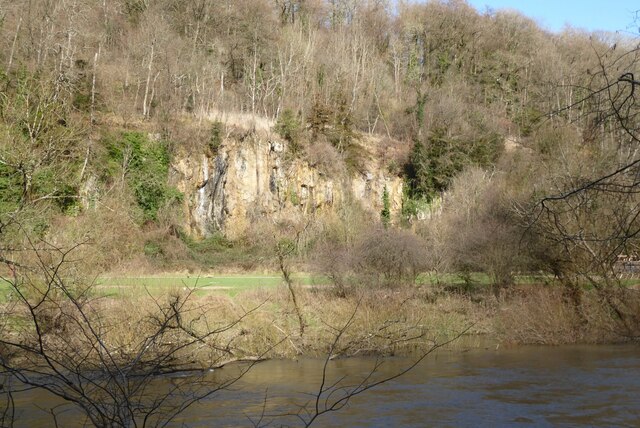
The area is known for its dense woodlands, making it a haven for nature enthusiasts. Dennis Grove is home to a variety of tree species, including oak, beech, and pine, creating a diverse and vibrant ecosystem. The forests provide an excellent habitat for wildlife, with sightings of deer, rabbits, and various bird species being common.
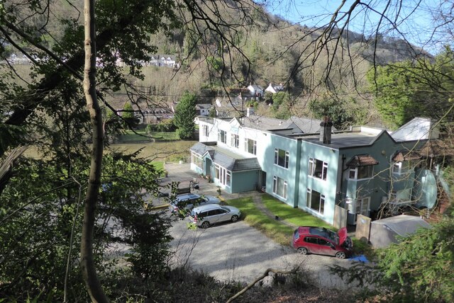
The village itself is a small and close-knit community, with a population of around 300 residents. The architecture of the houses reflects the traditional rural style, adding to the village's charm and character. The local community is active and organizes various events throughout the year, fostering a strong sense of belonging and camaraderie among the residents.
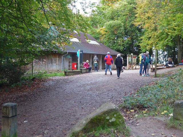
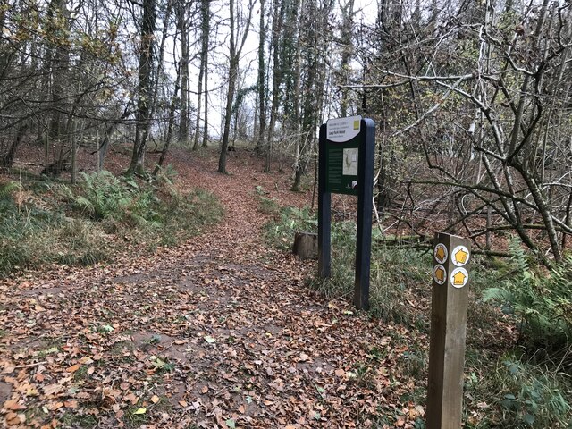
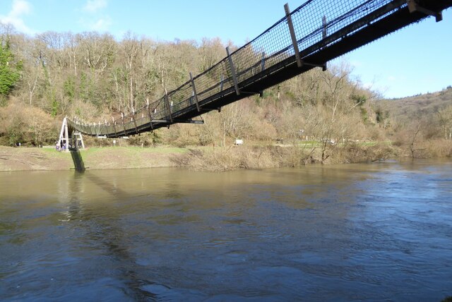
Dennis Grove is also well-connected to neighboring towns and cities, with good transport links facilitating easy access to amenities and services. The village is served by a local primary school, ensuring that families have access to education for their children. Additionally, there are several walking and cycling trails in the area, allowing visitors to explore the natural beauty of the surrounding woodlands.
Overall, Dennis Grove offers a peaceful and idyllic setting amidst the woodlands and forests of Herefordshire. It is a place where nature thrives, community spirit is strong, and residents can enjoy a quality of life that is truly unique.
If you have any feedback on the listing, please let us know in the comments section below.
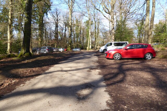
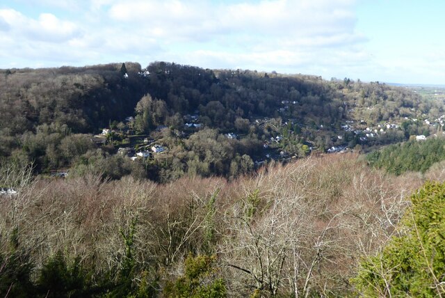
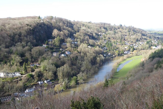
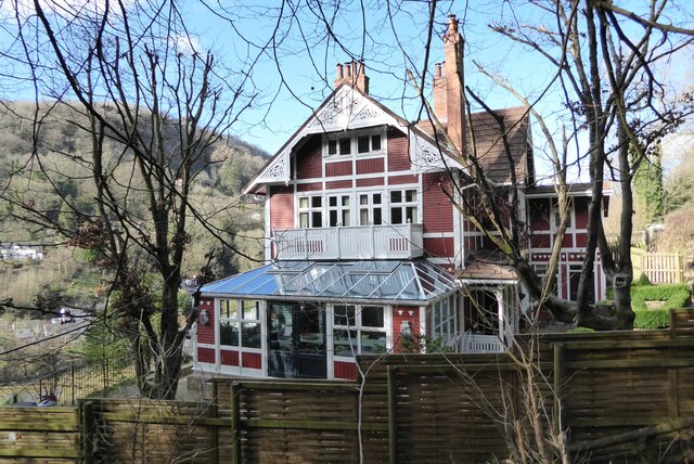
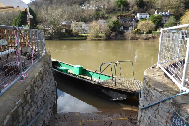
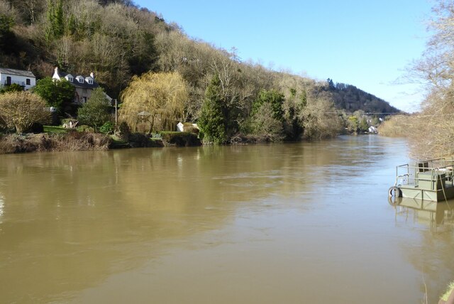
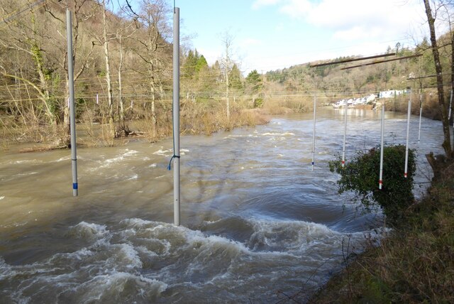
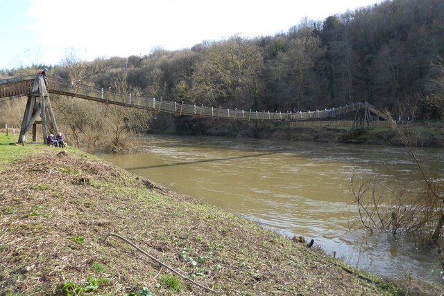
Dennis Grove Images
Images are sourced within 2km of 51.838566/-2.6644922 or Grid Reference SO5415. Thanks to Geograph Open Source API. All images are credited.

Dennis Grove is located at Grid Ref: SO5415 (Lat: 51.838566, Lng: -2.6644922)
Unitary Authority: County of Herefordshire
Police Authority: West Mercia
What 3 Words
///quality.forgives.extremely. Near Whitchurch, Herefordshire
Nearby Locations
Related Wikis
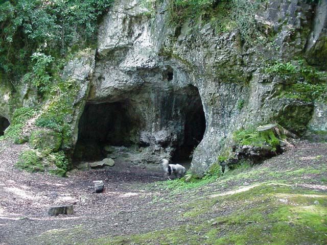
King Arthur's Cave
King Arthur's Cave is a limestone cave at the foot of a low cliff at the north-western end of Lord's Wood in The Doward, near Symonds Yat, Herefordshire...

The Doward
The Doward (Welsh: Deuarth Fach, lit. "two small hills"), is an area in the parish of Whitchurch in south Herefordshire, England, consisting of the hills...

Wyastone Leys
Wyastone Leys is a country house estate and Grade II listed building situated near Ganarew, in the southwestern corner of The Doward, in Herefordshire...

Lady Park Wood National Nature Reserve
Lady Park Wood National Nature Reserve (grid reference SO546144) is a 45-hectare (110-acre) nature reserve straddling the borders of Gloucestershire in...
Nearby Amenities
Located within 500m of 51.838566,-2.6644922Have you been to Dennis Grove?
Leave your review of Dennis Grove below (or comments, questions and feedback).