Farm Yard Wood

Wood, Forest in Lancashire South Ribble

England

Farm Yard Wood

Footbridge over M6
Footbridge over M6 Credit: Alpin Stewart

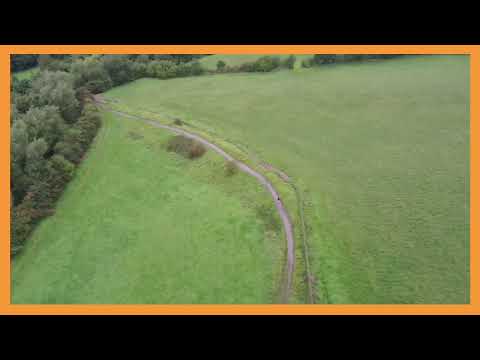
Farm Yard Wood is a small woodland located in the picturesque countryside of Lancashire, England. Covering an area of approximately 20 acres, this wood is a beautiful example of a traditional English forest. The woodland is owned and managed by a local farmer, who has taken great care in preserving its natural beauty and biodiversity.

As its name suggests, Farm Yard Wood is situated near a working farm, and it is often visited by local residents and tourists who enjoy exploring the countryside. The wood is easily accessible via a network of footpaths that meander through the trees, providing visitors with a tranquil and peaceful environment.

The woodland is predominantly made up of native tree species, such as oak, ash, and beech, which provide a dense canopy that filters the sunlight and creates a cool and shady atmosphere. The forest floor is carpeted with a variety of wildflowers and ferns, further adding to its natural charm.

Farm Yard Wood is also home to a diverse range of wildlife. The wood provides a sanctuary for many bird species, including woodpeckers, owls, and songbirds. Small mammals, such as rabbits and squirrels, can often be spotted darting through the undergrowth. In addition, the wood supports a rich variety of insects and invertebrates, playing a vital role in the local ecosystem.

Overall, Farm Yard Wood offers a peaceful retreat from the hustle and bustle of everyday life. Its natural beauty, diverse wildlife, and accessible location make it a popular destination for nature lovers and those seeking a connection with the countryside.

If you have any feedback on the listing, please let us know in the comments section below.

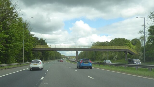
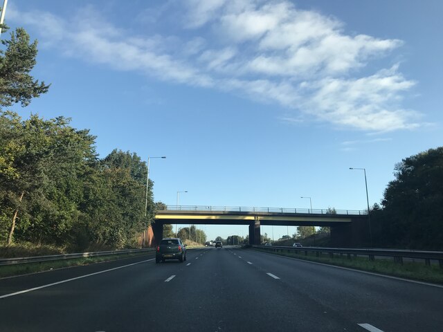
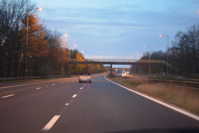
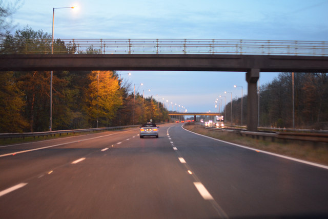
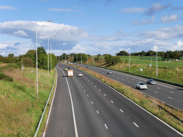
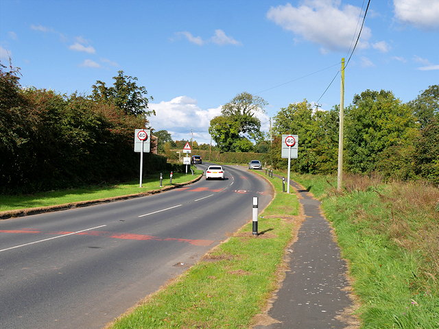
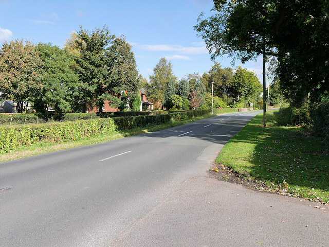
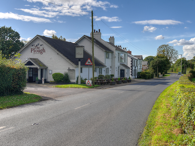
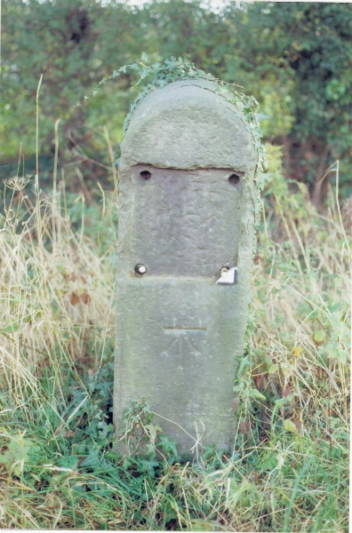
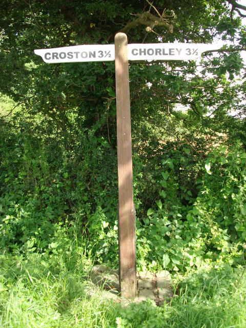
Farm Yard Wood Images

Images are sourced within 2km of 53.681355/-2.694521 or Grid Reference SD5420. Thanks to Geograph Open Source API. All images are credited.

Footbridge over M6
Footbridge over M6
Runshaw Lane - northbound M6
Metropolitan Borough of Chorley : The M6 Motorway Heading north through the Borough of Chorley on the M6 Motorway.
Metropolitan Borough of Chorley : The M6 Motorway
Heading north through the Borough of Chorley on the M6 Motorway.
Metropolitan Borough of Chorley : The M6 Motorway Heading underneath a footbridge over the M6 Motorway.
Metropolitan Borough of Chorley : The M6 Motorway
Heading underneath a footbridge over the M6 Motorway.
M6 Motorway near Euxton Looking northwards from the bridge at Runshaw Lane.
M6 Motorway near Euxton
Looking northwards from the bridge at Runshaw Lane.
Runshaw Lane near Euxton
Runshaw Lane
Runshaw Lane
The Plough at Euxton Country pub/restaurant near Euxton.
The Plough at Euxton
Country pub/restaurant near Euxton.
Graffiti on the railway On the Blackpool line near Euxton.
Graffiti on the railway
On the Blackpool line near Euxton.
Old Milestone by the B5253, Leyland Lane, Leyland Parish Stone post (plate lost) by the B5253, in parish of LEYLAND (SOUTH RIBBLE District), Leyland Lane, South of Brookfold Farm, on East side of road. Preston iron plate, erected by the Penwortham & Wrightington turnpike trust in the 19th century. 

Inscription once read:-
(TO)
(PRESTON)
(7)
(MILES) 
Carved benchmark on front under plate.  

Milestone Society National ID: LA_PSWG07.
Old Milestone by the B5253, Leyland Lane, Leyland Parish
Stone post (plate lost) by the B5253, in parish of LEYLAND (SOUTH RIBBLE District), Leyland Lane, South of Brookfold Farm, on East side of road. Preston iron plate, erected by the Penwortham & Wrightington turnpike trust in the 19th century. Inscription once read:- (TO) (PRESTON) (7) (MILES) Carved benchmark on front under plate. Milestone Society National ID: LA_PSWG07.
Old Direction Sign - Signpost by Runshaw Lane, Croston Parish No finial - 2 arms; Lancashire wood by the UC road, in parish of Croston (Chorley District), Runshaw Lane, junction with Flag Lane.

Surveyed

Milestone Society National ID: LA_SD5319.
Old Direction Sign - Signpost by Runshaw Lane, Croston Parish
No finial - 2 arms; Lancashire wood by the UC road, in parish of Croston (Chorley District), Runshaw Lane, junction with Flag Lane. Surveyed Milestone Society National ID: LA_SD5319.
Old Boundary Marker by the B5253, Hollins Brook Bridge, Leyland Lane Parish Boundary Marker by the B5253, in parish of Eccleston (Chorley District), Leyland Lane, Hollins Brook Bridge, East side of road.

Carved bench mark and pivot on top.

Surveyed

Milestone Society National ID: LA_PSWG07pb
Old Boundary Marker by the B5253, Hollins Brook Bridge, Leyland Lane
Parish Boundary Marker by the B5253, in parish of Eccleston (Chorley District), Leyland Lane, Hollins Brook Bridge, East side of road. Carved bench mark and pivot on top. Surveyed Milestone Society National ID: LA_PSWG07pb
Euxton : M6 Motorway The M6 Motorway between Junction 27 and Junction 28 (Holehouse).
Euxton : M6 Motorway
The M6 Motorway between Junction 27 and Junction 28 (Holehouse).
Bridge over M6 at Leyland
1896 Thornycroft steam van, The British Commercial Vehicle Museum, King Street, Leyland Increase in the speed limit to 14 mph in 1896 promoted the increase in steam driven vehicles. This front wheel drive rear steer van was built by John Isaac Thornycroft of Chiswick and first took to the road on 2 Jan. 1897. In Newport, Mr William Duncan tried to climb aboard his newly delivered van whilst it was moving and slipped. Run over by his own vehicle this was the first motor vehicle accident in Wales resulting in the amputation of one of William's feet. One of the earliest steam road vehicles it was powered by a coke fired steamboat engine by Simpson Strickland and Co. Dartmouth.
1896 Thornycroft steam van, The British Commercial Vehicle Museum, King Street, Leyland
Increase in the speed limit to 14 mph in 1896 promoted the increase in steam driven vehicles. This front wheel drive rear steer van was built by John Isaac Thornycroft of Chiswick and first took to the road on 2 Jan. 1897. In Newport, Mr William Duncan tried to climb aboard his newly delivered van whilst it was moving and slipped. Run over by his own vehicle this was the first motor vehicle accident in Wales resulting in the amputation of one of William's feet. One of the earliest steam road vehicles it was powered by a coke fired steamboat engine by Simpson Strickland and Co. Dartmouth.
Footbridge - northbound M6
B5248 - northbound M6
Matrix board - northbound M6
Show me another place!

Farm Yard Wood is located at Grid Ref: SD5420 (Lat: 53.681355, Lng: -2.694521)

Administrative County: Lancashire

District: South Ribble

Police Authority: Lancashire

What 3 Words

///amount.frames.pass. Near Euxton, Lancashire

Related Wikis

Worden Park

Worden Park is a large area of parkland situated on the outskirts of Leyland, a town in the borough of South Ribble, Lancashire, England. It is less than...

Euxton Villa F.C.

Euxton Villa Football Club is a football club based in Euxton, England. They are currently members of the North West Counties League Division One North...

Runshaw Hall

Runshaw Hall is a grade II listed 19th-century country house in Runshaw Hall Lane, Euxton, Chorley, Lancashire, England, which has been converted into...

Occleshaw House

Occleshaw House, also known by its address as 2 Worden Lane, is a Grade II listed building in Leyland, Lancashire. The building has been described as the...

St Andrew's Church, Leyland

St Andrew's Church is an Anglican church in Leyland, Lancashire, England. It is an active Anglican parish church in the Diocese of Blackburn and the archdeaconry...

Balshaw's Church of England High School

Balshaw's CE High School is a comprehensive Church of England secondary school located on Church Road in Leyland, England. == Location == It is situated...

Leyland, Lancashire

Leyland ( LAY-lənd) is a town in South Ribble, Lancashire, England, 6 miles (10 km) south of Preston. The population was 35,578 at the 2011 Census.The...

St Mary's Catholic High School, Leyland

St Mary's Catholic High School is a coeducational secondary school located in Leyland in the English county of Lancashire.It is a voluntary aided school...

Related Videos

Walking with Arnold

Went on a walk at 7am round shrugs wood Leyland the fishing pond.No sign of the fishies waking up but the ducks seemed to be ...

Nearby Amenities

Located within 500m of 53.681355,-2.694521
Turning Circle
Lat/Long: 53.6852555/-2.6949854
Entrance: main
Lat/Long: 53.6810888/-2.6904994
Turning Circle
Lat/Long: 53.6839923/-2.6908953
Crossing
Crossing: zebra
Lat/Long: 53.681209/-2.6907382
Crossing
Crossing: zebra
Lat/Long: 53.6806541/-2.6873555
Entrance: yes
Lat/Long: 53.6811419/-2.6885055
Entrance: yes
Lat/Long: 53.6810229/-2.6903221
Post Box
Collection Times: Mo-Fr 17:30; Sa 12:00
Operator: Royal Mail
Post Box Type: wall
Ref: PR25 55
Royal Cypher: EIIR
Royal Cypher Wikidata: Q33102113
Lat/Long: 53.6829583/-2.6904669
Cafe
The Folly Coffee House & Deli
Addr City: Leyland
Addr Housename: Worden Hall
Addr Place: Worden Park
Addr Postcode: PR25 1DJ
Fhrs Id: 924927
Lat/Long: 53.6823935/-2.7018641
Crossing
Crossing: zebra
Lat/Long: 53.6812198/-2.6898468
Crossing
Crossing: marked
Tactile Paving: yes
Lat/Long: 53.68111/-2.6919681
Crossing
Crossing: zebra
Lat/Long: 53.6811961/-2.6918067
Entrance: yes
Lat/Long: 53.6807871/-2.6904801
Direction: SSW
Generator Method: photovoltaic
Generator Output Electricity: yes
Generator Source: solar
Generator Type: solar_photovoltaic_panel
Location: roof
Power: generator
Lat/Long: 53.6854872/-2.6923344
Direction: SSW
Generator Method: photovoltaic
Generator Output Electricity: yes
Generator Source: solar
Generator Type: solar_photovoltaic_panel
Location: roof
Power: generator
Lat/Long: 53.6856126/-2.6942334
Direction: SSW
Generator Method: photovoltaic
Generator Output Electricity: yes
Generator Source: solar
Generator Type: solar_photovoltaic_panel
Location: roof
Power: generator
Lat/Long: 53.6844626/-2.6920527
Direction: SSW
Generator Method: photovoltaic
Generator Output Electricity: yes
Generator Source: solar
Generator Type: solar_photovoltaic_panel
Location: roof
Power: generator
Lat/Long: 53.6849773/-2.6906151
Direction: SSW
Generator Method: photovoltaic
Generator Output Electricity: yes
Generator Source: solar
Generator Type: solar_photovoltaic_panel
Location: roof
Power: generator
Lat/Long: 53.6832823/-2.6877961
Direction: SSW
Generator Method: photovoltaic
Generator Output Electricity: yes
Generator Source: solar
Generator Type: solar_photovoltaic_panel
Location: roof
Power: generator
Lat/Long: 53.684164/-2.6909933
Direction: SSW
Generator Method: photovoltaic
Generator Output Electricity: yes
Generator Source: solar
Generator Type: solar_photovoltaic_panel
Location: roof
Power: generator
Lat/Long: 53.6837922/-2.6908323
Direction: SSW
Generator Method: photovoltaic
Generator Output Electricity: yes
Generator Source: solar
Generator Type: solar_photovoltaic_panel
Location: roof
Power: generator
Lat/Long: 53.6827978/-2.690497
Direction: SSW
Generator Method: photovoltaic
Generator Output Electricity: yes
Generator Source: solar
Generator Type: solar_photovoltaic_panel
Location: roof
Power: generator
Lat/Long: 53.6827375/-2.6891854
Direction: SSW
Generator Method: photovoltaic
Generator Output Electricity: yes
Generator Source: solar
Generator Type: solar_photovoltaic_panel
Location: roof
Power: generator
Lat/Long: 53.6823038/-2.6881206
Direction: SSW
Generator Method: photovoltaic
Generator Output Electricity: yes
Generator Source: solar
Generator Type: solar_photovoltaic_panel
Location: roof
Power: generator
Lat/Long: 53.6820925/-2.6879114
Direction: SSW
Generator Method: photovoltaic
Generator Output Electricity: yes
Generator Source: solar
Generator Type: solar_photovoltaic_panel
Location: roof
Power: generator
Lat/Long: 53.6820147/-2.6880857
Direction: SSW
Generator Method: photovoltaic
Generator Output Electricity: yes
Generator Source: solar
Generator Type: solar_photovoltaic_panel
Location: roof
Power: generator
Lat/Long: 53.6816652/-2.688362
Direction: SSW
Generator Method: photovoltaic
Generator Output Electricity: yes
Generator Source: solar
Generator Type: solar_photovoltaic_panel
Location: roof
Power: generator
Lat/Long: 53.6816842/-2.688075
Direction: SSW
Generator Method: photovoltaic
Generator Output Electricity: yes
Generator Source: solar
Generator Type: solar_photovoltaic_panel
Location: roof
Power: generator
Lat/Long: 53.6816874/-2.6879677
Direction: SSW
Generator Method: photovoltaic
Generator Output Electricity: yes
Generator Source: solar
Generator Type: solar_photovoltaic_panel
Location: roof
Power: generator
Lat/Long: 53.681886/-2.6914224
Direction: SSW
Generator Method: photovoltaic
Generator Output Electricity: yes
Generator Source: solar
Generator Type: solar_photovoltaic_panel
Location: roof
Power: generator
Lat/Long: 53.6821116/-2.692911
Bus Stop
Runshaw College
Bus: yes
Naptan AtcoCode: 2500LAA16498
Naptan Bearing: E
Naptan CommonName: Runshaw College
Naptan Indicator: opp
Public Transport: platform
Lat/Long: 53.6813903/-2.6902521
Turning Circle
Lat/Long: 53.6857461/-2.6950542
Bus Stop
Ennerdale Close
Bus: yes
Naptan AtcoCode: 2500LAA16773
Naptan Bearing: NW
Naptan CommonName: Ennerdale Close
Naptan Indicator: opp
Naptan NaptanCode: lanpatpj
Public Transport: platform
Lat/Long: 53.6850541/-2.6955055
Bus Stop
Ennerdale Close
Bus: yes
Naptan AtcoCode: 2500LAA16772
Naptan Bearing: SE
Naptan CommonName: Ennerdale Close
Naptan Indicator: by
Naptan NaptanCode: lanpatpg
Public Transport: platform
Lat/Long: 53.6853844/-2.6958895
Bus Stop
Runshaw College Grounds
Bus: yes
Naptan AtcoCode: 2500LA00012
Naptan Bearing: W
Naptan CommonName: Runshaw College Grounds
Naptan Indicator: by
Naptan NaptanCode: langmtwt
Public Transport: platform
Lat/Long: 53.6811423/-2.6896121
Bus Stop
Runshaw College
Bus: yes
Naptan AtcoCode: 25001104
Naptan Bearing: W
Naptan CommonName: Runshaw College
Naptan Indicator: by
Naptan NaptanCode: lanadtwd
Public Transport: platform
Lat/Long: 53.6813187/-2.6902055
Entrance: main
Lat/Long: 53.6810921/-2.6897246
Entrance: yes
Lat/Long: 53.681053/-2.6885012
Entrance: yes
Lat/Long: 53.6808096/-2.6886445
Entrance: yes
Lat/Long: 53.6806628/-2.6907548
Entrance: yes
Lat/Long: 53.6807981/-2.6903104
Entrance: yes
Lat/Long: 53.680887/-2.6913573
Entrance: yes
Lat/Long: 53.6806387/-2.6913874
Entrance: yes
Lat/Long: 53.6806909/-2.691799
Crossing
Crossing: unmarked
Lat/Long: 53.6811468/-2.6928382
Defibrillator
Access: yes
Defibrillator Location: on external wall
Emergency: defibrillator
Lat/Long: 53.6832093/-2.6997847
Defibrillator
Access: yes
Defibrillator Location: On entrygate of Euxton Villa Football Club
Emergency: defibrillator
Lat/Long: 53.6769925/-2.6948898
The data included in this document is from www.openstreetmap.org. The data is made available under ODbL.

Have you been to Farm Yard Wood?

Leave your review of Farm Yard Wood below (or comments, questions and feedback).