Far Highfield Wood
Wood, Forest in Lancashire Lancaster
England
Far Highfield Wood

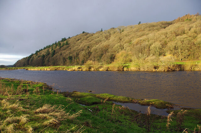
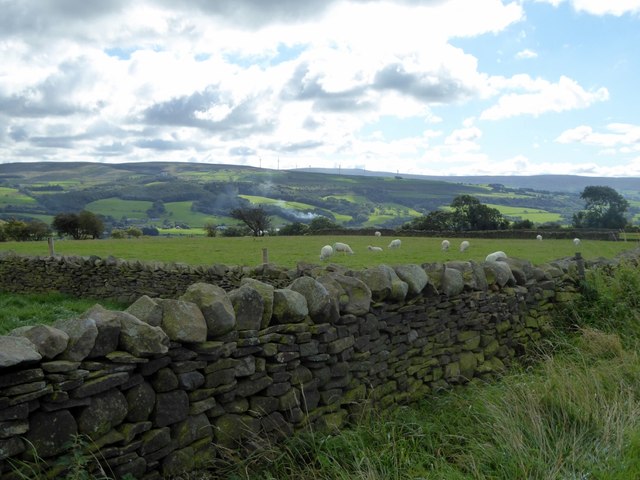
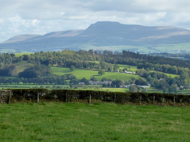
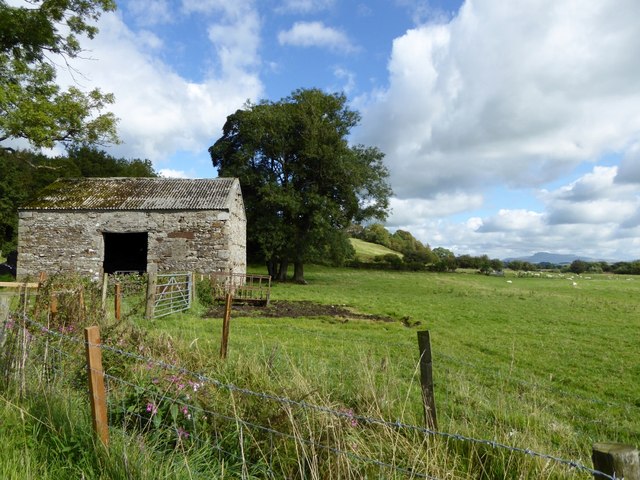
Far Highfield Wood is a picturesque woodland located in Lancashire, England. It is a part of the larger Highfield Wood complex and covers an area of approximately 100 acres. The wood is situated in the rural countryside, offering a serene and tranquil environment for visitors to explore.
The woodland is primarily composed of native tree species, including oak, beech, and birch, which create a stunning canopy overhead. The dense vegetation and undergrowth provide a haven for a variety of wildlife, making it an ideal spot for nature enthusiasts and birdwatchers. Visitors can expect to see a range of bird species, such as woodpeckers, owls, and songbirds, as well as small mammals like squirrels and rabbits.
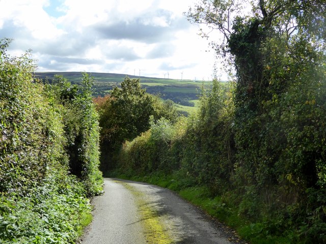
Far Highfield Wood features several well-maintained trails that wind through the forest, allowing visitors to immerse themselves in the natural beauty of the surroundings. These trails are suitable for both walking and cycling, providing a great opportunity for outdoor exercise and exploration. Along the way, there are designated picnic areas and benches where visitors can take a break and enjoy a packed lunch amidst the peaceful surroundings.
The wood is managed by a local conservation organization, ensuring its preservation and protection for future generations. There are also regular educational events and workshops held in the woodland, providing opportunities for visitors to learn about the local flora and fauna.
Overall, Far Highfield Wood offers a delightful retreat from the hustle and bustle of everyday life, inviting visitors to reconnect with nature and enjoy the beauty of Lancashire's countryside.
If you have any feedback on the listing, please let us know in the comments section below.
Far Highfield Wood Images
Images are sourced within 2km of 54.101634/-2.7023069 or Grid Reference SD5467. Thanks to Geograph Open Source API. All images are credited.


Far Highfield Wood is located at Grid Ref: SD5467 (Lat: 54.101634, Lng: -2.7023069)
Administrative County: Lancashire
District: Lancaster
Police Authority: Lancashire
What 3 Words
///date.farmed.signed. Near Caton, Lancashire
Nearby Locations
Related Wikis

St Saviour's Church, Aughton
St Saviour's Church is an Anglican parish church to the north of the hamlet of Aughton, Lancashire, England. == Ecclesiastical organisation == The church...

Artle Beck
Artle Beck is a minor river of Lancashire. Rising at the confluence of Udale Beck and Foxdale Beck below Fosdale Bridge and Udale Bridge near Crossgill...

Claughton railway station
Claughton railway station served the village of Claughton in the City of Lancaster district of Lancashire, England. The station was located near Low Lane...

Claughton, Lancaster
Claughton ( KLAF-tən) is a small village and civil parish in the City of Lancaster in Lancashire, England. The village is on the A683 road east of Lancaster...
St Chad's Church, Claughton
St Chad's Church is in the village of Claughton, Lancashire, England. It is a redundant Anglican parish church, which is recorded in the National Heritage...

St Cuthbert's Church, Over Kellet
St Cuthbert's Church is in the village of Over Kellet, Lancashire, England. It is an active Anglican parish church in the deanery of Tunstall, the archdeaconry...
Caton railway station
Caton railway station served the village of Caton in the City of Lancaster district of Lancashire, England. The station was located near Ball Lane and...
St Paul's Church, Brookhouse
St Paul's Church is in the village of Brookhouse, Caton-with-Littledale, Lancashire, England. It is an active Anglican parish church in the deanery of...
Nearby Amenities
Located within 500m of 54.101634,-2.7023069Have you been to Far Highfield Wood?
Leave your review of Far Highfield Wood below (or comments, questions and feedback).