Gwatkin's Grove

Wood, Forest in Herefordshire

England

Gwatkin's Grove

Lane near Kynaston farm
Lane near Kynaston farm Credit: Rob Purvis

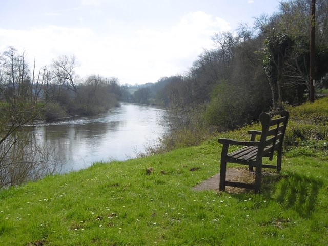
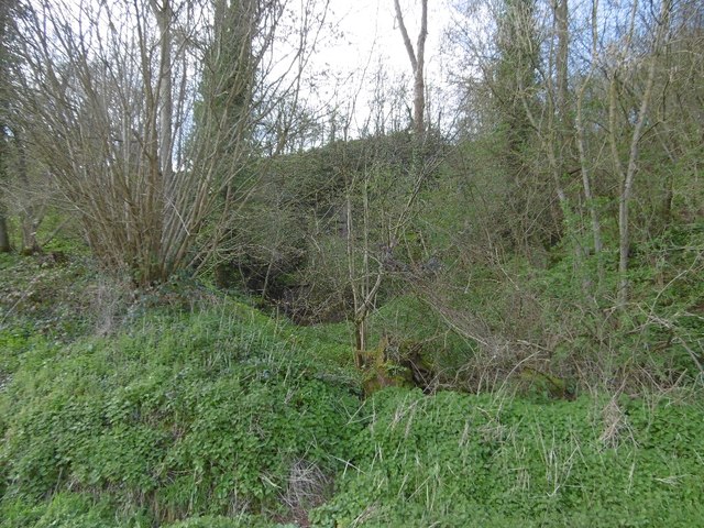
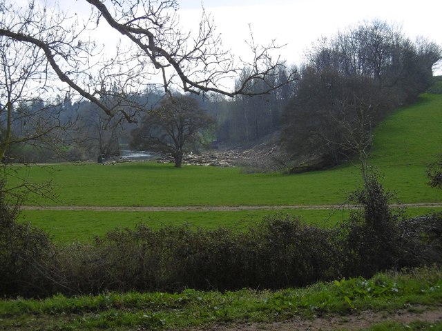
Gwatkin's Grove is a picturesque woodland located in Herefordshire, England. Covering an area of approximately 50 acres, the grove is situated in the heart of the county, near the town of Hereford. With its dense foliage and towering ancient trees, Gwatkin's Grove is a captivating destination for nature enthusiasts and those seeking tranquility.

The woodland is primarily composed of oak and beech trees, some of which date back several centuries, creating a rich and diverse ecosystem. The canopy of the grove provides a natural shelter, allowing a variety of flora and fauna to thrive beneath it. Bluebells, wild garlic, and wood anemones are just a few of the enchanting wildflowers that carpet the forest floor during the spring, creating a stunning display of colors.

Gwatkin's Grove is also home to a wide range of wildlife. Visitors may catch glimpses of deer, badgers, foxes, and numerous species of birds, making it a popular spot for birdwatching. The grove's peaceful atmosphere, interrupted only by the sounds of rustling leaves and birdsong, offers a sense of tranquility and escape from the hustle and bustle of modern life.

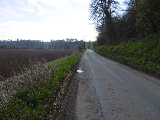
The grove is open to the public, and there are well-maintained walking trails that meander through the woodland, allowing visitors to explore its natural beauty at their own pace. Whether it's a leisurely stroll or a more rigorous hike, Gwatkin's Grove offers something for everyone who appreciates the wonders of nature.

If you have any feedback on the listing, please let us know in the comments section below.

Gwatkin's Grove Images

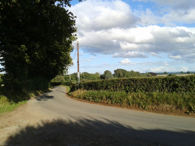
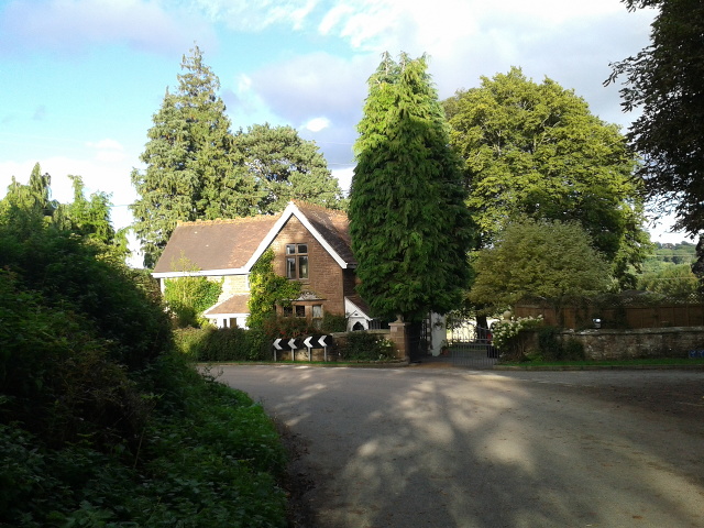
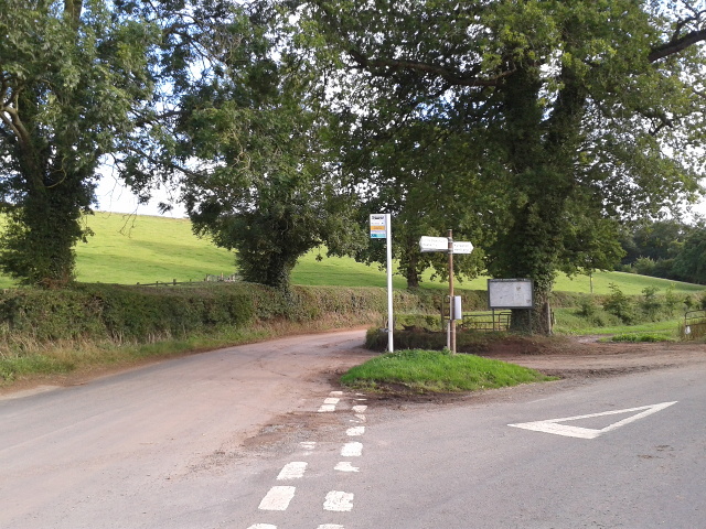
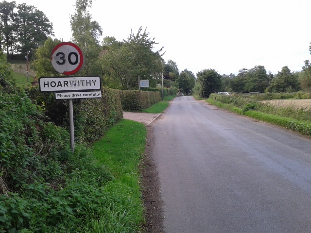
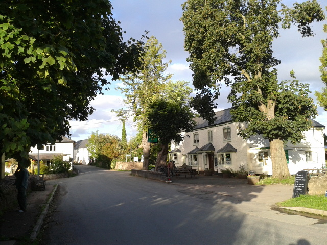
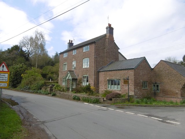
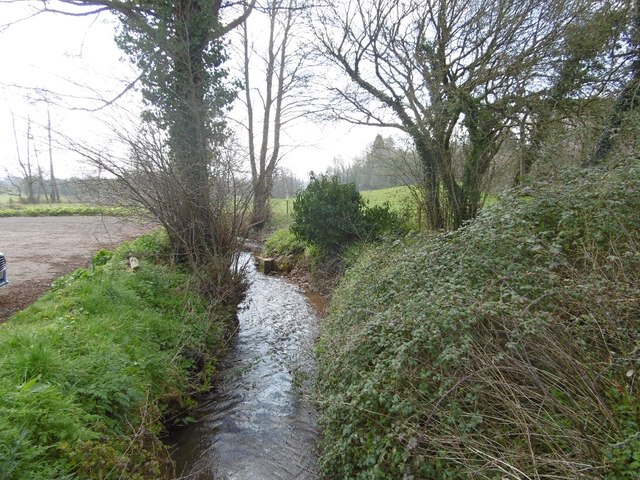
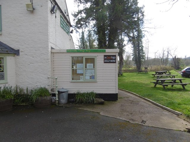
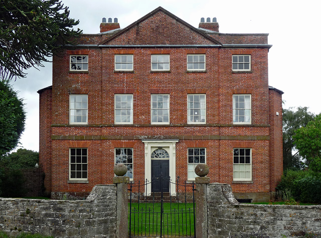
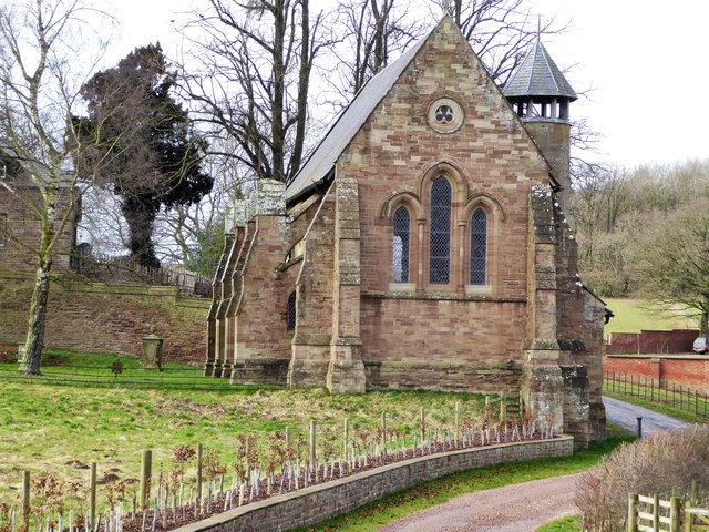
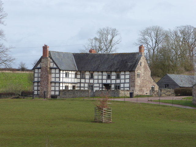
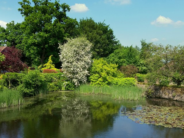
Images are sourced within 2km of 51.957629/-2.6685947 or Grid Reference SO5429. Thanks to Geograph Open Source API. All images are credited.

Lane near Kynaston farm
House at Kynaston
House at Kynaston
Rural bus stop at a lane junction
On the edge of Hoarwithy at Red Rail
The New Harp Inn at Hoarwithy
Hoarwithy Junction by Aspen House.
Hoarwithy
Junction by Aspen House.
Wriggle Brook Flows past The New Harp to the Wye at Hoarwithy.
Wriggle Brook
Flows past The New Harp to the Wye at Hoarwithy.
Hoarwithy Village Shop At the pub, (New Harp).
Hoarwithy Village Shop
At the pub, (New Harp).
The Wye at Hoarwithy A fine riverside view.  I was warned by a passing cyclist of a big hill ahead. Having forgotten some of my maps, this was news, although not unexpected.
The Wye at Hoarwithy
A fine riverside view. I was warned by a passing cyclist of a big hill ahead. Having forgotten some of my maps, this was news, although not unexpected.
Hoarwithy to Ross road On the Wye flood plain by Sheppon Hill Stables.
Hoarwithy to Ross road
On the Wye flood plain by Sheppon Hill Stables.
Quarry near Hoarwithy Quarried steep slope by the Wye.
Quarry near Hoarwithy
Quarried steep slope by the Wye.
River Wye Between Sellack and Hoarwithy.  Yet more clear felling, there does seem to be a fair bit going on around here.
River Wye
Between Sellack and Hoarwithy. Yet more clear felling, there does seem to be a fair bit going on around here.
King's Caple Court, King's Caple The house, built c1780 for a solicitor, John Cooke, is an uncommonly fine sight so close to the road in a small village. If one were being picky, one might wonder if the pediment were a little steep. Good doorcase (<a href="https://www.geograph.org.uk/photo/5463100">SO5628 : Detail of King's Caple Court, King's Caple</a>). The architect may have been Anthony Keck. Grade II listed.
King's Caple Court, King's Caple
The house, built c1780 for a solicitor, John Cooke, is an uncommonly fine sight so close to the road in a small village. If one were being picky, one might wonder if the pediment were a little steep. Good doorcase (SO5628 : Detail of King's Caple Court, King's Caple). The architect may have been Anthony Keck. Grade II listed.
Detail of King's Caple Court, King's Caple Doorcase with arched fanlight and cornice on brackets.
Wider view: <a href="https://www.geograph.org.uk/photo/5463094">SO5628 : King's Caple Court, King's Caple</a>.
Detail of King's Caple Court, King's Caple
Doorcase with arched fanlight and cornice on brackets. Wider view: SO5628 : King's Caple Court, King's Caple.
St Denis's Chapel, Harewood End Former church on the Harewood End estate. Grade II listed <span class="nowrap"><a title="https://www.historicengland.org.uk/listing/the-list/list-entry/1288620" rel="nofollow ugc noopener" href="https://www.historicengland.org.uk/listing/the-list/list-entry/1288620">Link</a><img style="margin-left:2px;" alt="External link" title="External link - shift click to open in new window" src="https://s1.geograph.org.uk/img/external.png" width="10" height="10"/></span>
St Denis's Chapel, Harewood End
Former church on the Harewood End estate. Grade II listed LinkExternal link
Grange Farm, Harewood Park Grange Farm is probably the home farm to the demolished Harewood Park. It is Grade II listed <span class="nowrap"><a title="https://www.historicengland.org.uk/listing/the-list/list-entry/1214407" rel="nofollow ugc noopener" href="https://www.historicengland.org.uk/listing/the-list/list-entry/1214407">Link</a><img style="margin-left:2px;" alt="External link" title="External link - shift click to open in new window" src="https://s1.geograph.org.uk/img/external.png" width="10" height="10"/></span>
Grange Farm, Harewood Park
Grange Farm is probably the home farm to the demolished Harewood Park. It is Grade II listed LinkExternal link
Large pond at Kynaston What was a flooded quarry is now a superb large ornamental pond.
Large pond at Kynaston
What was a flooded quarry is now a superb large ornamental pond.
Wonderful Wisteria The display of the one plant on a sandstone wall is at its peak on this late May afternoon.
Wonderful Wisteria
The display of the one plant on a sandstone wall is at its peak on this late May afternoon.
Show me another place!

Gwatkin's Grove is located at Grid Ref: SO5429 (Lat: 51.957629, Lng: -2.6685947)

Unitary Authority: County of Herefordshire

Police Authority: West Mercia

What 3 Words

///timidly.strong.mows. Near Sellack, Herefordshire

Related Wikis

Hoarwithy, Herefordshire

Hoarwithy is a small village in the civil parish of Hentland, and on the River Wye in Herefordshire, England. It is known for its church of St Catherine...

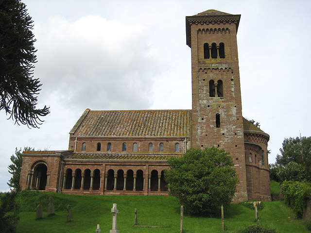
St Catherine's Church, Hoarwithy

The Church of St Catherine is a Church of England parish church at Hoarwithy in the English county of Herefordshire. Alan Brooks and Nikolaus Pevsner,...

Harewood, Herefordshire

Harewood is a civil parish in Herefordshire, England. It is approximately 7 miles (11 km) south of the city and county town of Hereford and 4 miles (6...

Harewood Park

Harewood Park is a rural estate of 900 acres (360 ha) in the civil parish of Harewood in Herefordshire, England, which has been owned by the Duchy of...

King's Caple

Kings Caple is a village in the largest loop of the River Wye between Hereford and Ross-on-Wye in the English county of Herefordshire. The population of...

Llandinabo

Llandinabo is a hamlet and civil parish in Herefordshire, England, and approximately six miles north-west of Ross-on-Wye. The population of the civil parish...

Hentland

Hentland is a hamlet and civil parish about 5 miles (8 km) north-west of Ross-on-Wye in Herefordshire, England. The small hamlet settlement of Hentland...

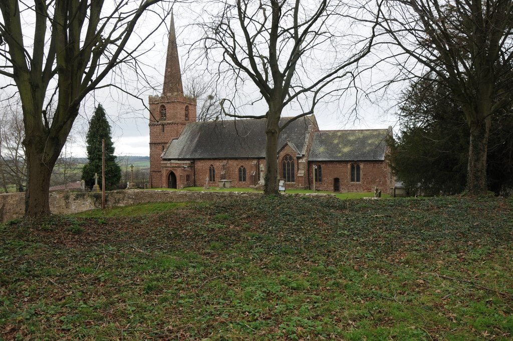
St Dubricius' Church, Hentland

St Dubricius’ Church is a Grade II* listed parish church in Hentland, Herefordshire, England. == History == Parts of the north wall of the church date...

Nearby Amenities

Located within 500m of 51.957629,-2.6685947
Fire Hydrant
Emergency: fire_hydrant
Fire Hydrant Type: underground
Source: survey
Lat/Long: 51.960163/-2.6659914
Bus Stop
New Harp Inn
Naptan AtcoCode: 2090A122100
Naptan Bearing: NE
Naptan CommonName: New Harp Inn
Naptan Indicator: opp
Naptan Landmark: New Harp Inn
Naptan NaptanCode: heradtmw
Naptan Street: Hoarwithy to Little Dewchurch Road
Naptan Verified: no
Source: naptan_import
Lat/Long: 51.9600823/-2.6629402
Bus Stop
New Harp Inn
Naptan AtcoCode: 2090A18452
Naptan Bearing: SW
Naptan BusStopType: CUS
Naptan CommonName: New Harp Inn
Naptan Indicator: adj
Naptan Landmark: New Harp Inn
Naptan NaptanCode: heragtda
Naptan Street: Hoarwithy to Ross road
Naptan Verified: no
Source: naptan_import
Lat/Long: 51.9600291/-2.6628875
Fire Hydrant
Emergency: fire_hydrant
Fire Hydrant Type: underground
Source: survey
Lat/Long: 51.9605843/-2.6675639
Information: board
Source: survey
Tourism: information
Lat/Long: 51.9600511/-2.6630379
Source: survey
Lat/Long: 51.9583686/-2.6632345
Bench
Source: survey
Lat/Long: 51.9601106/-2.6628971
Power: pole
Source: Bing
Lat/Long: 51.9598586/-2.6705307
Power: pole
Source: Bing
Lat/Long: 51.9609759/-2.6705629
Power: pole
Source: Bing
Lat/Long: 51.9582355/-2.6704824
Power: pole
Source: Bing
Lat/Long: 51.9567336/-2.6704431
Power: pole
Source: Bing
Lat/Long: 51.9536784/-2.6710779
Power: pole
Source: Bing
Lat/Long: 51.9552625/-2.6704162
Defibrillator
Access: yes
Defibrillator Location: On wall outside pub
Emergency: defibrillator
Indoor: no
Opening Hours: 24/7
Operator: New Har Pub
Ref GB The Circuit: AEE299A8-D5AD-4D38-8380-AAB000BBD147
Lat/Long: 51.9600295/-2.6627023
Hoarwithy South
Material: wood
Phases: 1
Power: pole
Transformer: distribution
Voltage Primary: 11000
Windings: 2
Lat/Long: 51.9570761/-2.6635043
Material: wood
Power: pole
Lat/Long: 51.9562261/-2.6641123
Material: wood
Power: pole
Lat/Long: 51.9553916/-2.6643285
Power: pole
Lat/Long: 51.9545857/-2.664696
Power: pole
Lat/Long: 51.9551009/-2.6655954
Power: pole
Lat/Long: 51.9553178/-2.6670921
Llanfrother
Power: pole
Transformer: distribution
Voltage Primary: 11000
Lat/Long: 51.9554421/-2.6679027
Power: pole
Lat/Long: 51.9556858/-2.6683416
Power: pole
Lat/Long: 51.9561001/-2.6690771
Red Brook Farm
Power: pole
Transformer: distribution
Voltage Primary: 11000
Lat/Long: 51.9581123/-2.6699346
Power: pole
Source: Bing
Lat/Long: 51.9567347/-2.6702088
New Harp
Power: pole
Transformer: distribution
Voltage Primary: 11000
Lat/Long: 51.9604796/-2.6637615
Hoarwithy West
Location Transition: yes
Power: pole
Transformer: distribution
Voltage Primary: 11000
Lat/Long: 51.9608395/-2.6662338
Power: pole
Lat/Long: 51.9574231/-2.6700734
Power: pole
Lat/Long: 51.9582223/-2.6699097
Power: pole
Lat/Long: 51.9591908/-2.6689066
Power: pole
Lat/Long: 51.9597578/-2.6683205
Power: pole
Lat/Long: 51.9606999/-2.6677828
Power: pole
Lat/Long: 51.9615155/-2.6673161
The data included in this document is from www.openstreetmap.org. The data is made available under ODbL.

Have you been to Gwatkin's Grove?

Leave your review of Gwatkin's Grove below (or comments, questions and feedback).