Aviary Wood
Wood, Forest in Lancashire South Lakeland
England
Aviary Wood
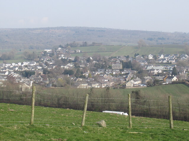
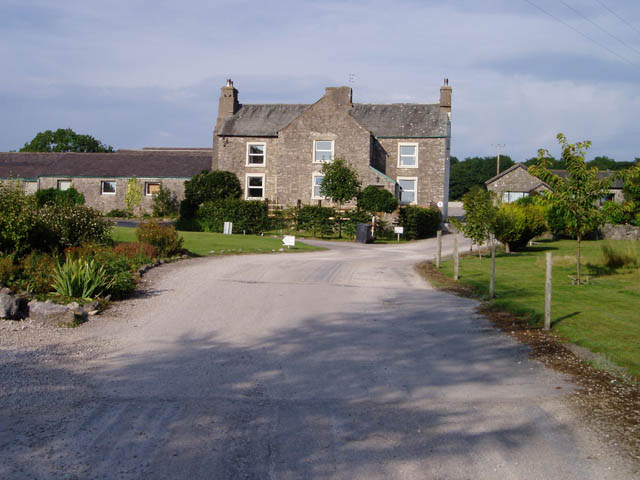
Aviary Wood is a picturesque forest located in the county of Lancashire, England. Covering an area of approximately 50 acres, it offers a serene and tranquil escape from the bustling city life. The wood is situated on the outskirts of the small village of Aviary, hence its name.
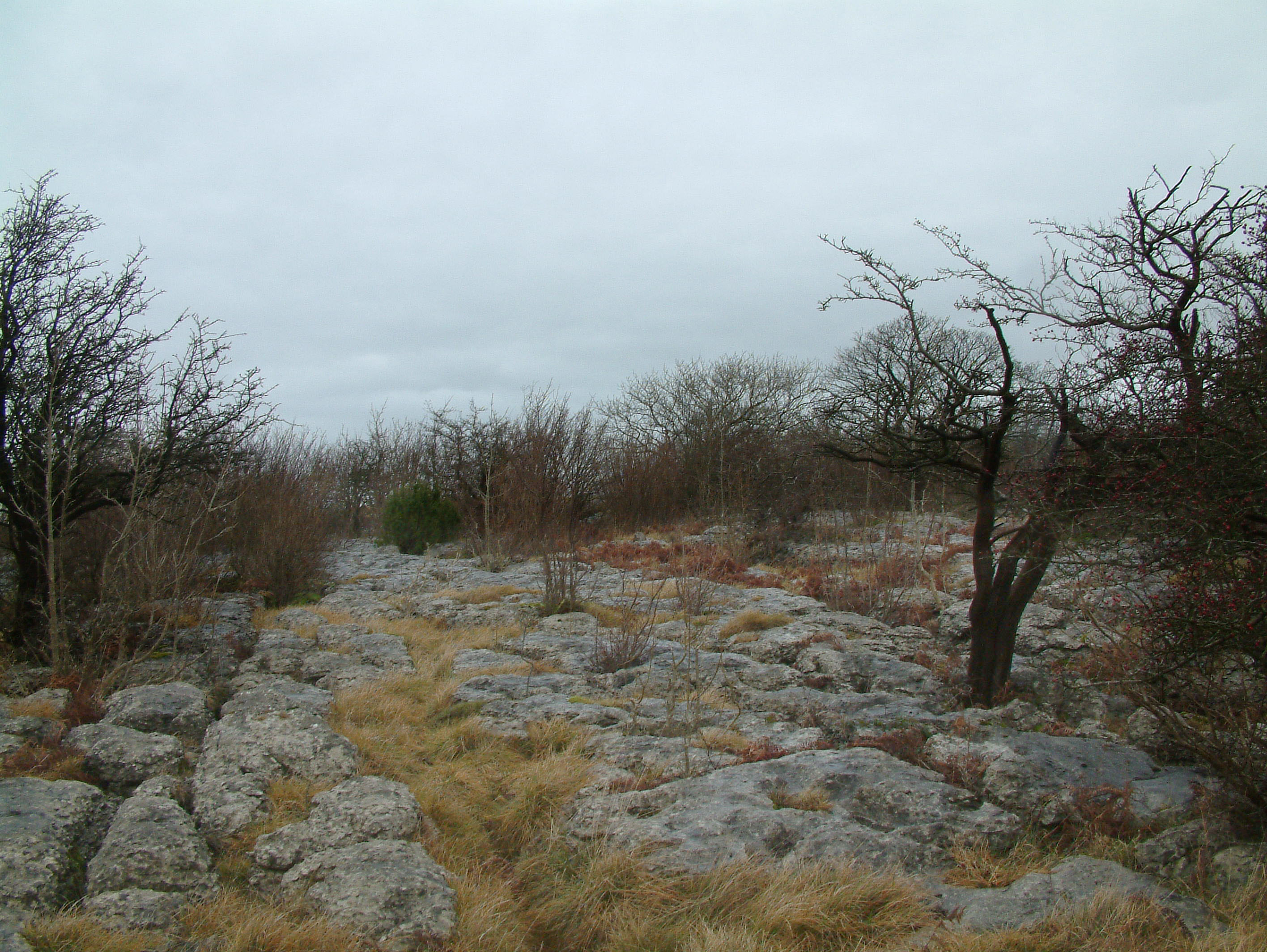
This woodland is characterized by its diverse range of tree species, including oak, birch, beech, and pine. These majestic trees create a dense canopy that provides shelter and habitat for various wildlife species. Aviary Wood is home to a wide array of fauna, such as deer, squirrels, rabbits, and an abundance of bird species, including woodpeckers and owls.
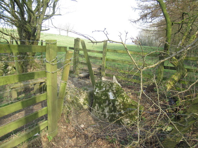
The forest boasts a network of well-maintained walking trails that wind through the wood, allowing visitors to explore its natural beauty at their own pace. Along these trails, one can discover enchanting clearings, babbling brooks, and hidden ponds. These features add to the charm of Aviary Wood and provide opportunities for peaceful picnics or quiet contemplation.
Nature enthusiasts will be delighted by the wood's rich biodiversity. Rare plant species, such as bluebells and ferns, can be found throughout the forest floor, adding bursts of color to the green surroundings. As the seasons change, the wood transforms, showcasing vibrant autumnal hues and delicate spring blossoms.
Aviary Wood is not only a haven for wildlife and nature lovers but also a valuable educational resource. Local schools and environmental organizations often organize field trips to the wood, giving children the chance to learn about the importance of conservation and the delicate ecosystems that exist within the forest.
Overall, Aviary Wood is a captivating destination that offers a harmonious blend of nature, tranquility, and educational value. It is a true gem within the Lancashire countryside.
If you have any feedback on the listing, please let us know in the comments section below.
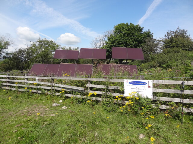
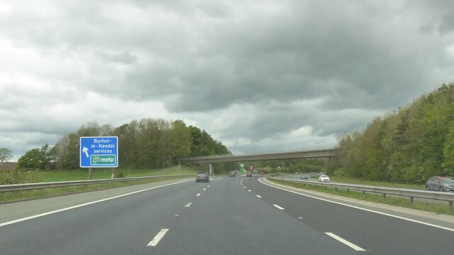
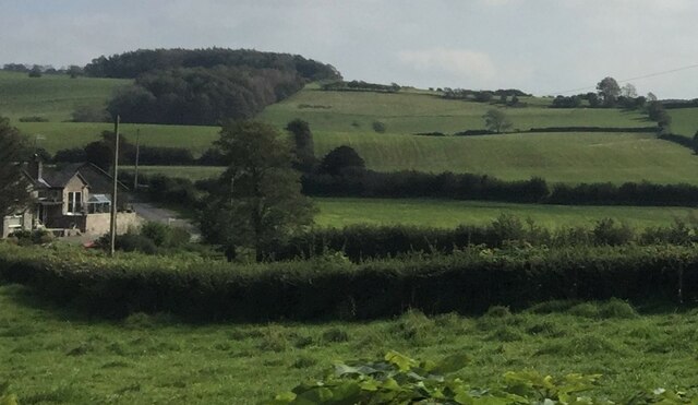
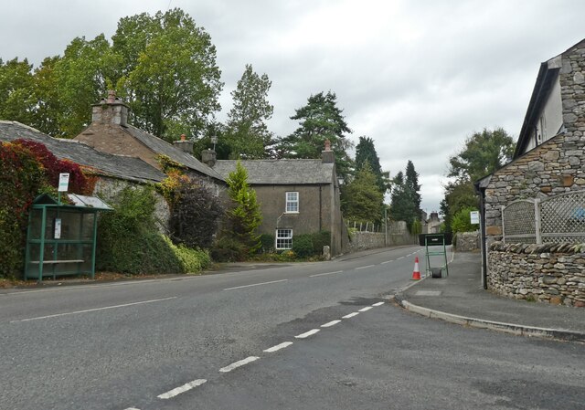
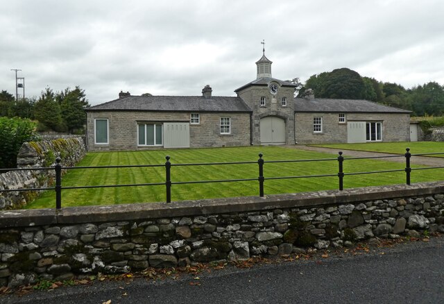
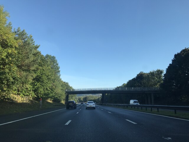
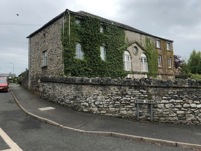
Aviary Wood Images
Images are sourced within 2km of 54.179985/-2.7059633 or Grid Reference SD5476. Thanks to Geograph Open Source API. All images are credited.


Aviary Wood is located at Grid Ref: SD5476 (Lat: 54.179985, Lng: -2.7059633)
Administrative County: Cumbria
District: South Lakeland
Police Authority: Cumbria
What 3 Words
///capillary.hurry.amuse. Near Warton, Lancashire
Nearby Locations
Related Wikis

Dalton, Cumbria
Dalton is a hamlet and former civil parish, now in the parish of Burton-in-Kendal, in the Westmorland and Furness district, Cumbria, England. Until 1894...

Dalton Hall, Cumbria
Dalton Hall is a country house near Burton-in-Kendal in northern England. The hall lies within the county palatine of Lancaster, while Burton lies in the...

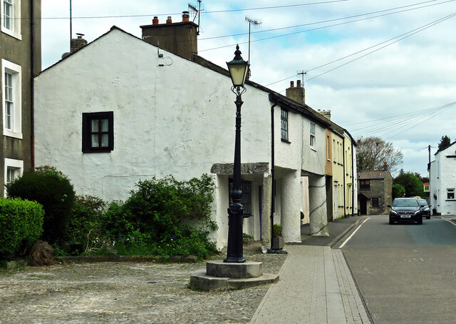
Burton-in-Kendal
Burton-in-Kendal is a village and civil parish on the extreme southern edge of Cumbria, England. The parish contains around 660 houses and in the 2001...
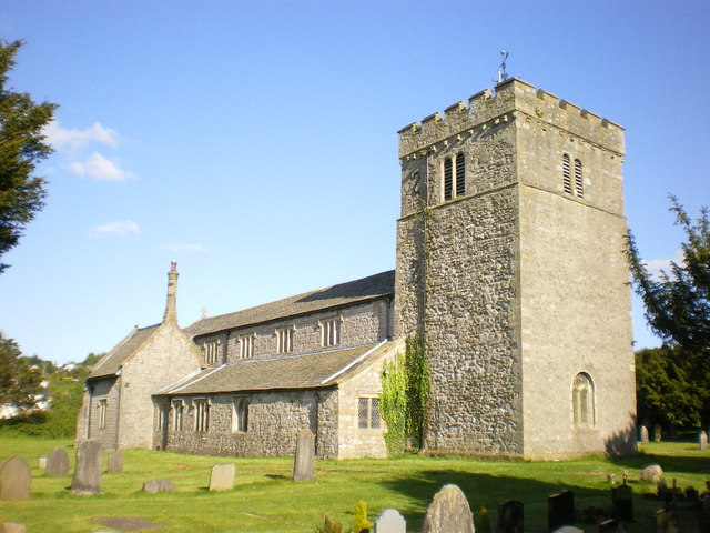
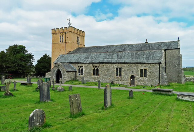
St James' Church, Burton-in-Kendal
St James' Church is in the village of Burton-in-Kendal, Cumbria, England. It is an active Anglican parish church in the deanery of Kendal, the archdeaconry...
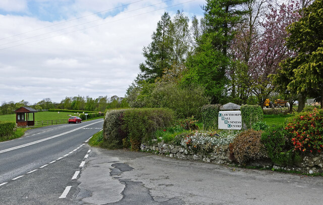
Clawthorpe
Clawthorpe is a hamlet in the South Lakeland district, in the county of Cumbria, England. It is near the village of Burton-in-Kendal and the town of Kendal...

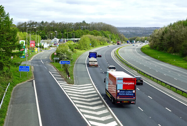
Burton-in-Kendal Services
Burton-in-Kendal services is a motorway service station on the M6 motorway in Cumbria, England, adjacent to the border with Lancashire. It is located about...
Hutton Roof Crags
Hutton Roof Crags is a hill in south-eastern Cumbria in north-west England, located near to the village of Hutton Roof. It has extensive areas of limestone...
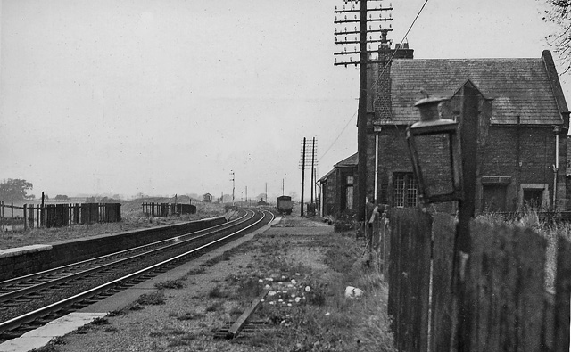
Burton and Holme railway station
Burton and Holme railway station served the village of Burton-in-Kendal, Westmorland, England, from 1846 to 1966 on the Lancaster and Carlisle Railway...
Nearby Amenities
Located within 500m of 54.179985,-2.7059633Have you been to Aviary Wood?
Leave your review of Aviary Wood below (or comments, questions and feedback).