Beck Wood

Wood, Forest in Westmorland South Lakeland

England

Beck Wood
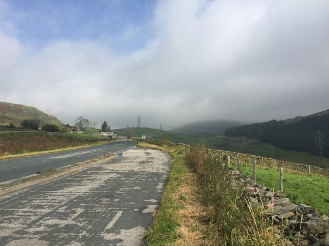
Lay-by on the A6 Between Martclose Farm and Hollowgate Farm
Lay-by on the A6 Credit: Eirian Evans

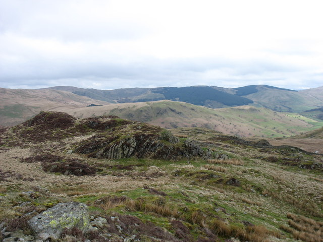
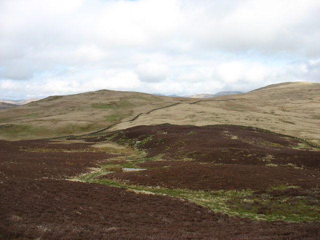
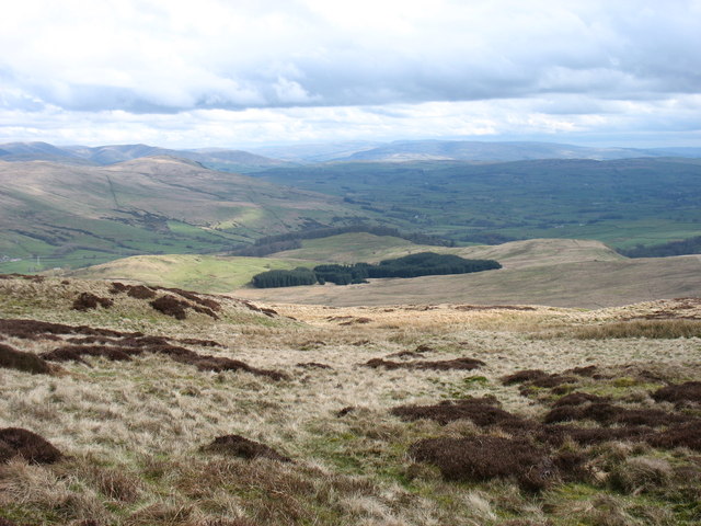
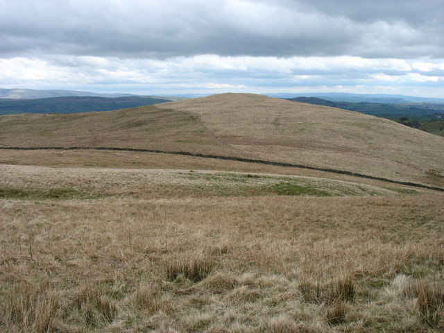
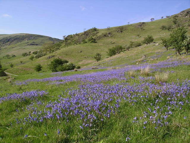
Beck Wood is a picturesque forest located in the county of Westmorland, England. Covering an area of approximately 100 acres, it is a popular destination for nature lovers, hikers, and wildlife enthusiasts. The wood is nestled in a tranquil valley, surrounded by rolling hills and meandering streams, creating a serene and peaceful atmosphere.

The forest is primarily composed of deciduous trees such as oak, ash, and beech, which form a dense canopy overhead, filtering the sunlight and creating a cool and shaded environment below. The forest floor is adorned with a rich carpet of wildflowers, ferns, and mosses, adding to the natural beauty of the surroundings.

Beck Wood is home to a diverse range of wildlife, including various bird species such as woodpeckers, thrushes, and owls. The woodland also provides a habitat for small mammals like squirrels, foxes, and badgers. On rare occasions, lucky visitors may even catch a glimpse of the elusive red deer that occasionally roam the area.

Tranquil walking trails wind through the forest, allowing visitors to explore its hidden corners and discover its beauty at their own pace. These paths are well-maintained and suitable for all ages and fitness levels. The wood also features a picnic area, providing a perfect spot to relax and enjoy a meal amidst the natural splendor.

Overall, Beck Wood offers a haven of tranquility and natural beauty, making it a must-visit destination for anyone seeking solace in nature or wanting to explore the enchanting woodlands of Westmorland.

If you have any feedback on the listing, please let us know in the comments section below.

Beck Wood Images

Images are sourced within 2km of 54.404836/-2.7161372 or Grid Reference NY5301. Thanks to Geograph Open Source API. All images are credited.
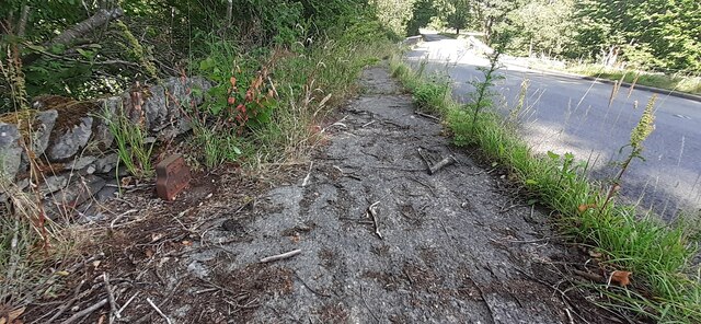
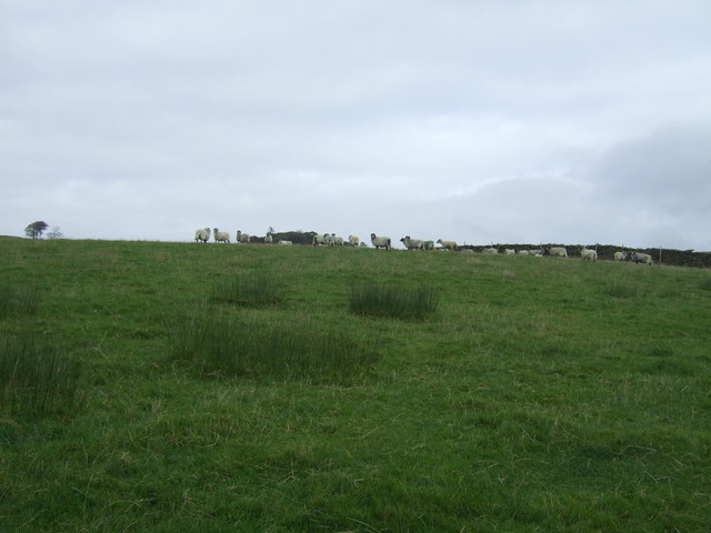
Lay-by on the A6 Between Martclose Farm and Hollowgate Farm
Lay-by on the A6
Between Martclose Farm and Hollowgate Farm
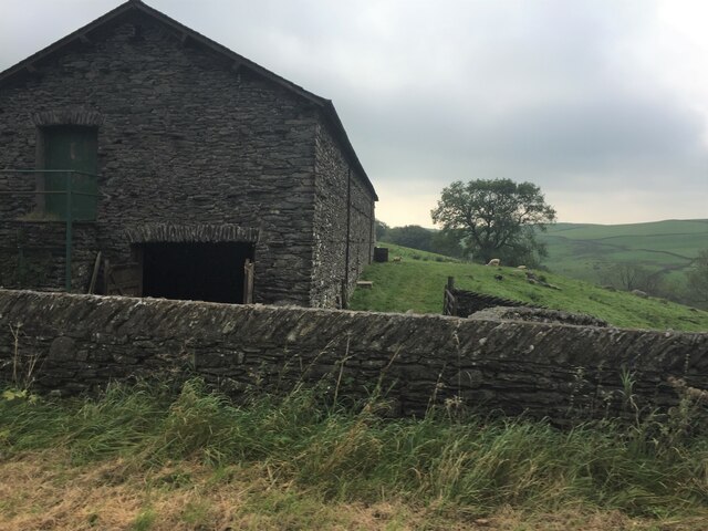
Stone barn at Forest Hall
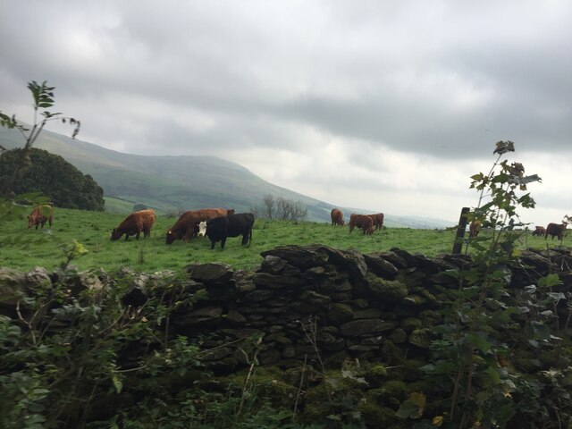
Cattle grazing on rough pasture
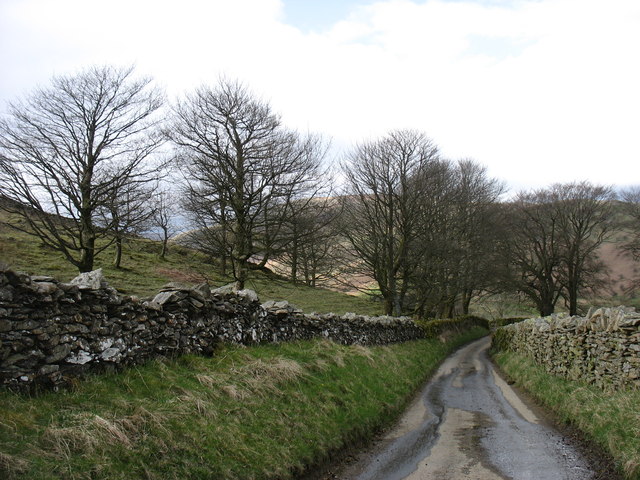
Ashstead Beck beside rural road north of Whelpside Ordnance Survey documents indicate that a benchmark levelled at 154.171m above Newlyn Datum was verified in 1954 on a stone at the base of the wall (on the right hand side of the beck) its back face 2.4m from its left hand end
Ashstead Beck beside rural road north of Whelpside
Ordnance Survey documents indicate that a benchmark levelled at 154.171m above Newlyn Datum was verified in 1954 on a stone at the base of the wall (on the right hand side of the beck) its back face 2.4m from its left hand end
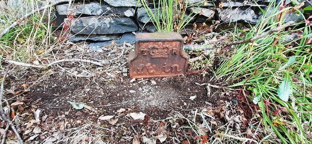
Edward VII GPO Cable marker on NW side of A6 at Low Jock Scar See <span class="nowrap"><a title="https://gpo-markers.derektp.co.uk/detail?post=635" rel="nofollow ugc noopener" href="https://gpo-markers.derektp.co.uk/detail?post=635">Link</a><img style="margin-left:2px;" alt="External link" title="External link - shift click to open in new window" src="https://s1.geograph.org.uk/img/external.png" width="10" height="10"/></span>
Edward VII GPO Cable marker on NW side of A6 at Low Jock Scar
See LinkExternal link
Looking NE along A6 towards Bannisdale Low Bridge There is a GPO cable marker <a href="https://www.geograph.org.uk/photo/7234157">NY5401 : Edward VII GPO Cable marker on NW side of A6 at Low Jock Scar</a> against the wall at the left hand side of the road
Looking NE along A6 towards Bannisdale Low Bridge
There is a GPO cable marker NY5401 : Edward VII GPO Cable marker on NW side of A6 at Low Jock Scar against the wall at the left hand side of the road
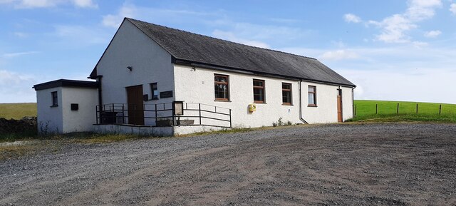
Selside Memorial Hall on SE side of A6
Bridleway above Mosergh Farm This is the start of the Bannisdale Horseshoe. Whiteside Pike, the first hill, is straight ahead.
Bridleway above Mosergh Farm
This is the start of the Bannisdale Horseshoe. Whiteside Pike, the first hill, is straight ahead.
The view from Whiteside Pike Whiteside Pike is the first hill on the Bannisdale Horseshoe.
The view from Whiteside Pike
Whiteside Pike is the first hill on the Bannisdale Horseshoe.
Moorland below Whiteside Pike Looking towards Todd Fell (left) and Capplebarrow (right), the next hills on the Bannisdale Horseshoe.
Moorland below Whiteside Pike
Looking towards Todd Fell (left) and Capplebarrow (right), the next hills on the Bannisdale Horseshoe.
South-eastern slopes of The Forest Ahead is the only steep slope on the Bannisdale Horseshoe. In descent I found this quite awkward.
South-eastern slopes of The Forest
Ahead is the only steep slope on the Bannisdale Horseshoe. In descent I found this quite awkward.
Lamb Pasture The final hill on the Bannisdale Horseshoe.
Lamb Pasture
The final hill on the Bannisdale Horseshoe.
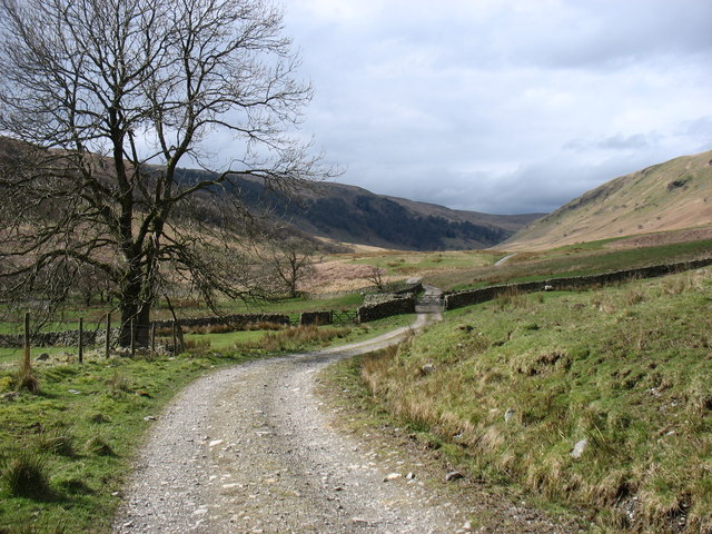
The Bannisdale track Taken after descending from the Bannisdale Horseshoe.
The Bannisdale track
Taken after descending from the Bannisdale Horseshoe.
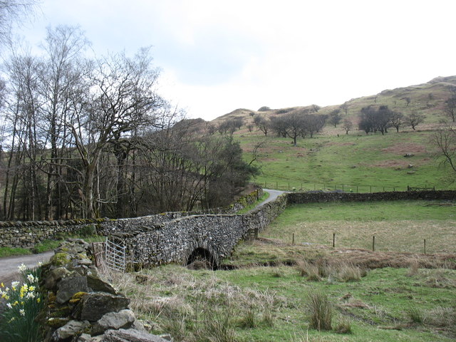
Dryhowe Bridge From here, there is just 2 kilometres of country lane to complete the Bannisdale Horseshoe.
Dryhowe Bridge
From here, there is just 2 kilometres of country lane to complete the Bannisdale Horseshoe.
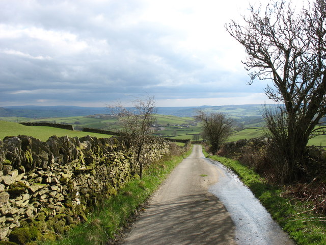
The lane to Dryhowe At the end of the Bannisdale Horseshoe, one finishes with about 2 kilometres along this lane (but in the opposite direction). From Dryhowe Bridge there is a height gain of about 50 metres - not much, but unwelcome at the end of the day.
The lane to Dryhowe
At the end of the Bannisdale Horseshoe, one finishes with about 2 kilometres along this lane (but in the opposite direction). From Dryhowe Bridge there is a height gain of about 50 metres - not much, but unwelcome at the end of the day.
The lane from Dryhowe The end of the Bannisdale Horseshoe is now only a few minutes away.
The lane from Dryhowe
The end of the Bannisdale Horseshoe is now only a few minutes away.
The Plough Inn, Selside On the A6.
The Plough Inn, Selside
On the A6.
Grazing off the A6 The A6 is one of the main historic north south roads in England. At 299 miles long it is the fourth longest road in the country. It currently runs from Luton in Bedfordshire to Carlisle in Cumbria, although it formerly started at a junction with the A1 at Barnet.
Wikipedia: <span class="nowrap"><a title="http://en.wikipedia.org/wiki/A6_road_(England)" rel="nofollow ugc noopener" href="http://en.wikipedia.org/wiki/A6_road_(England)">Link</a><img style="margin-left:2px;" alt="External link" title="External link - shift click to open in new window" src="https://s1.geograph.org.uk/img/external.png" width="10" height="10"/></span> 
See also <span class="nowrap"><a title="http://www.sabre-roads.org.uk/wiki/index.php?title=A6" rel="nofollow ugc noopener" href="http://www.sabre-roads.org.uk/wiki/index.php?title=A6">Link</a><img style="margin-left:2px;" alt="External link" title="External link - shift click to open in new window" src="https://s1.geograph.org.uk/img/external.png" width="10" height="10"/></span> for more route detail.
Grazing off the A6
The A6 is one of the main historic north south roads in England. At 299 miles long it is the fourth longest road in the country. It currently runs from Luton in Bedfordshire to Carlisle in Cumbria, although it formerly started at a junction with the A1 at Barnet. Wikipedia: LinkExternal link See also LinkExternal link for more route detail.
Show me another place!

Beck Wood is located at Grid Ref: NY5301 (Lat: 54.404836, Lng: -2.7161372)

Administrative County: Cumbria

District: South Lakeland

Police Authority: Cumbria

What 3 Words

///dweller.swear.relegate. Near Burneside, Cumbria

Related Wikis

Fawcett Forest

Fawcett Forest is a former civil parish, now in the parish of Selside and Fawcett Forest, in the South Lakeland district of the English county of Cumbria...

Lowbridge Estate

The Lowbridge Estate is a country estate of approximately 2000 acres in the Lake District region of England that was in the continuous ownership of the...

Bannisdale Horseshoe

The Bannisdale Horseshoe is an upland area in Cumbria, England, near the eastern boundary of the Lake District National Park, surrounding the valley of...

Garnett Bridge

Garnett Bridge is a hamlet in Cumbria, England, on the River Sprint. It is located three miles by foot southeast of Long Sleddale. It consists mainly of...

Selside

Selside is a small village in rural Cumbria, England, about 6 miles (9.7 km) north of Kendal, close to the A6 road. It is now in the civil parish of Selside...

Whitwell and Selside

Whitwell and Selside is a former civil parish, now part of the parish of Selside and Fawcett Forest, in the Westmorland and Furness district, in the ceremonial...

River Sprint

The River Sprint is a river in Cumbria, England with its source high up on the south-facing side of Harter Fell. It flows into the River Kent just to...

South Westmorland Rural District

South Westmorland was a rural district in Westmorland, England from 1894 to 1974. It saw various boundary changes during its existence, particularly in...

Nearby Amenities

Located within 500m of 54.404836,-2.7161372
Ford: yes
Lat/Long: 54.4076695/-2.7119256
Power: pole
Lat/Long: 54.4010326/-2.7172368
Power: pole
Lat/Long: 54.4020527/-2.7183571
Power: pole
Lat/Long: 54.4027702/-2.7191723
Power: pole
Lat/Long: 54.4036709/-2.7201608
Power: pole
Lat/Long: 54.4041866/-2.7207173
Power: pole
Lat/Long: 54.4050546/-2.7216814
Power: pole
Lat/Long: 54.4058132/-2.722521
The data included in this document is from www.openstreetmap.org. The data is made available under ODbL.

Have you been to Beck Wood?

Leave your review of Beck Wood below (or comments, questions and feedback).