Comeytrowe
Settlement in Somerset Somerset West and Taunton
England
Comeytrowe
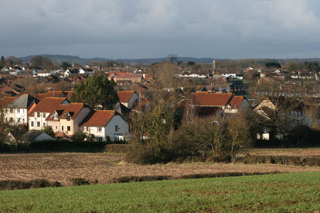
Comeytrowe is a small village located in the county of Somerset, England. Situated on the eastern outskirts of the town of Taunton, it is a residential area that offers a peaceful and picturesque setting for its residents.
The village is known for its charming countryside, with rolling hills and open fields surrounding the area. It is bordered by the River Tone to the east, providing scenic walks and recreational opportunities for locals and visitors alike. The nearby Blackdown Hills Area of Outstanding Natural Beauty is also within easy reach, offering stunning views and a range of outdoor activities.
Comeytrowe has a close-knit community, with a mix of housing options including traditional cottages, modern developments, and farmhouses. The village features a primary school, providing education for local children, and a community center that hosts various events and activities throughout the year.
Residents of Comeytrowe benefit from its proximity to Taunton, which offers a wider range of amenities including shops, restaurants, and leisure facilities. The town also provides excellent transport links, with easy access to major roads and the Taunton railway station, making it an ideal location for commuters.
Overall, Comeytrowe offers a rural retreat with convenient access to urban amenities, making it an attractive place to live for those seeking a peaceful village lifestyle within reach of a bustling town.
If you have any feedback on the listing, please let us know in the comments section below.
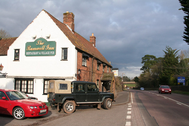
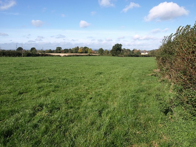
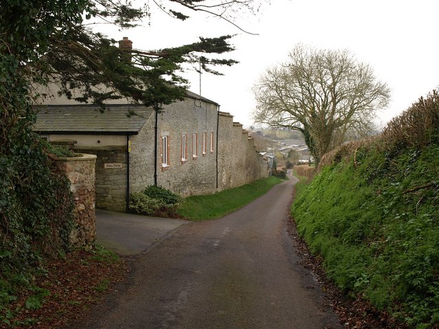
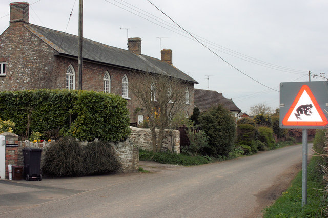
Comeytrowe Images
Images are sourced within 2km of 51.002153/-3.128464 or Grid Reference ST2023. Thanks to Geograph Open Source API. All images are credited.


Comeytrowe is located at Grid Ref: ST2023 (Lat: 51.002153, Lng: -3.128464)
Administrative County: Somerset
District: Somerset West and Taunton
Police Authority: Avon and Somerset
What 3 Words
///souk.boil.cups. Near Taunton, Somerset
Nearby Locations
Related Wikis
Comeytrowe
Comeytrowe is a south western suburb of Taunton and former civil parish, now in the parish of Taunton in the county of Somerset, England. In 2011 the parish...
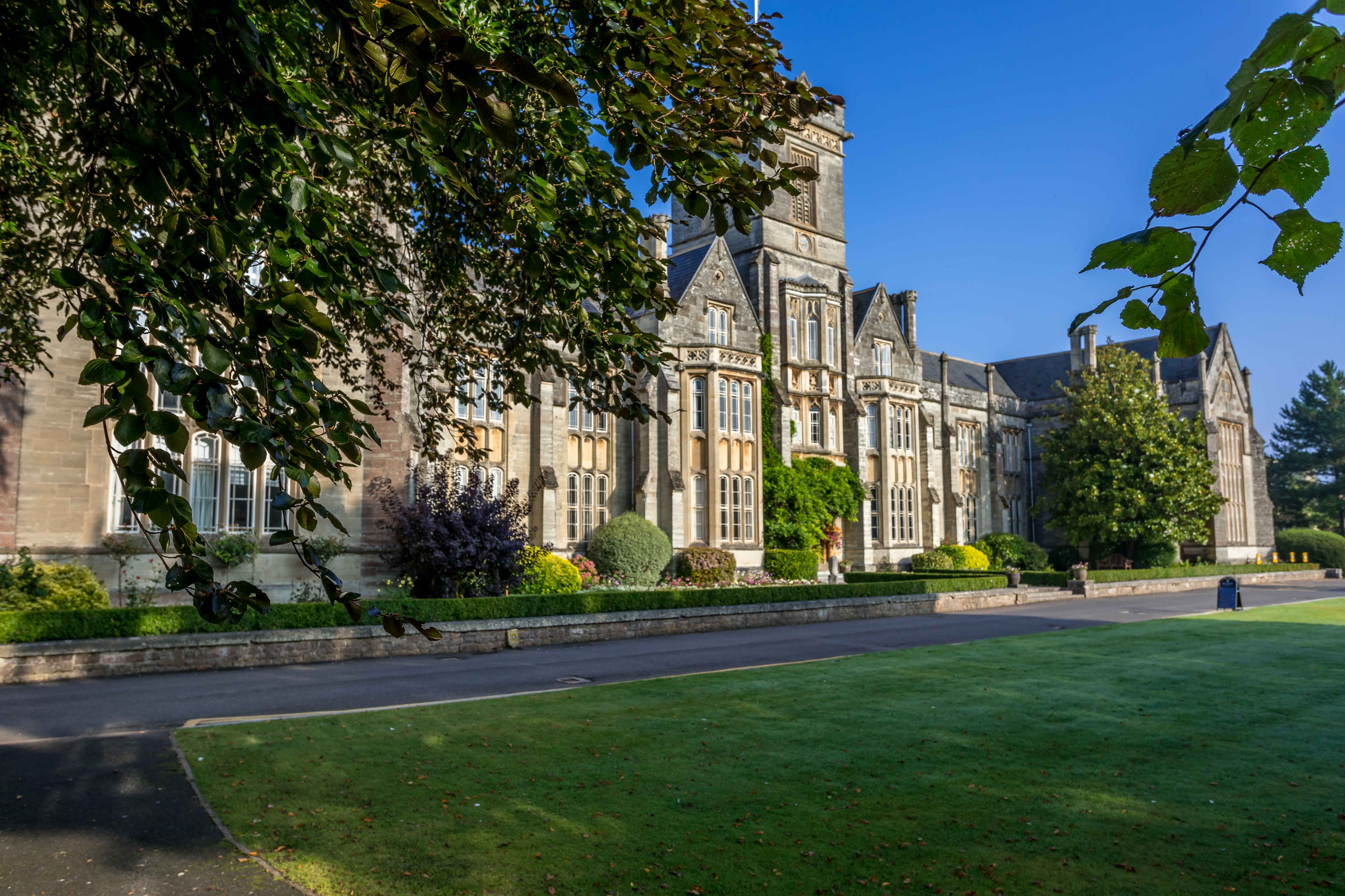
Queen's College, Taunton
Queen's College is a co-educational independent school located in Taunton, the county town of Somerset, England. It is a day/boarding school for pupils...
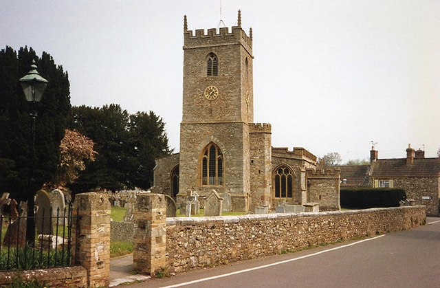
Trull
Trull is a village, electoral ward and civil parish in Somerset, England, situated near Taunton. The parish, which includes Dipford and Staplehay, has...
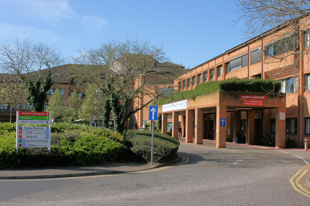
Musgrove Park Hospital
Musgrove Park Hospital is a large NHS hospital located in Taunton, Somerset, England, run by Somerset NHS Foundation Trust. Originally a US Army General...
Nearby Amenities
Located within 500m of 51.002153,-3.128464Have you been to Comeytrowe?
Leave your review of Comeytrowe below (or comments, questions and feedback).