Kendricks Rough
Wood, Forest in Shropshire
England
Kendricks Rough

Kendricks Rough is a picturesque woodland located in the county of Shropshire, England. Situated in the heart of the county, it covers an area of approximately 50 acres and is renowned for its natural beauty and diverse ecosystem. The woodland is part of the larger Kendricks Forest, which spans across several neighboring towns.
The Rough is predominantly made up of mature deciduous trees, including oak, beech, and ash, which provide a dense canopy and create a tranquil and peaceful atmosphere. The forest floor is covered with a rich carpet of ferns, wildflowers, and moss, adding to the enchanting charm of the woodland.
The Rough is home to a wide variety of wildlife, making it a popular destination for nature enthusiasts and birdwatchers. The resident bird population includes species such as woodpeckers, owls, and various songbirds. Visitors may also spot small mammals like foxes, badgers, and rabbits, as well as occasional deer sightings.
There are several well-maintained walking trails throughout the woodland, allowing visitors to explore its beauty at their own pace. These paths lead through ancient trees, across babbling brooks, and past hidden clearings, providing a truly immersive experience in nature.
Kendricks Rough is a haven for those seeking solace in the natural world. Its serene ambiance, diverse flora and fauna, and well-preserved trails make it an ideal destination for both locals and tourists looking to escape the hustle and bustle of everyday life and reconnect with nature.
If you have any feedback on the listing, please let us know in the comments section below.
Kendricks Rough Images
Images are sourced within 2km of 52.745594/-2.6965799 or Grid Reference SJ5316. Thanks to Geograph Open Source API. All images are credited.


Kendricks Rough is located at Grid Ref: SJ5316 (Lat: 52.745594, Lng: -2.6965799)
Unitary Authority: Shropshire
Police Authority: West Mercia
What 3 Words
///hello.pulse.polite. Near Astley, Shropshire
Nearby Locations
Related Wikis

Battlefield, Shropshire
Battlefield is a village and suburb of the town of Shrewsbury in Shropshire, England. It is 3 miles (5 km) north of the town centre. The village is today...

Battle of Shrewsbury
The Battle of Shrewsbury was a battle fought on 21 July 1403, waged between an army led by the Lancastrian King Henry IV and a rebel army led by Henry...
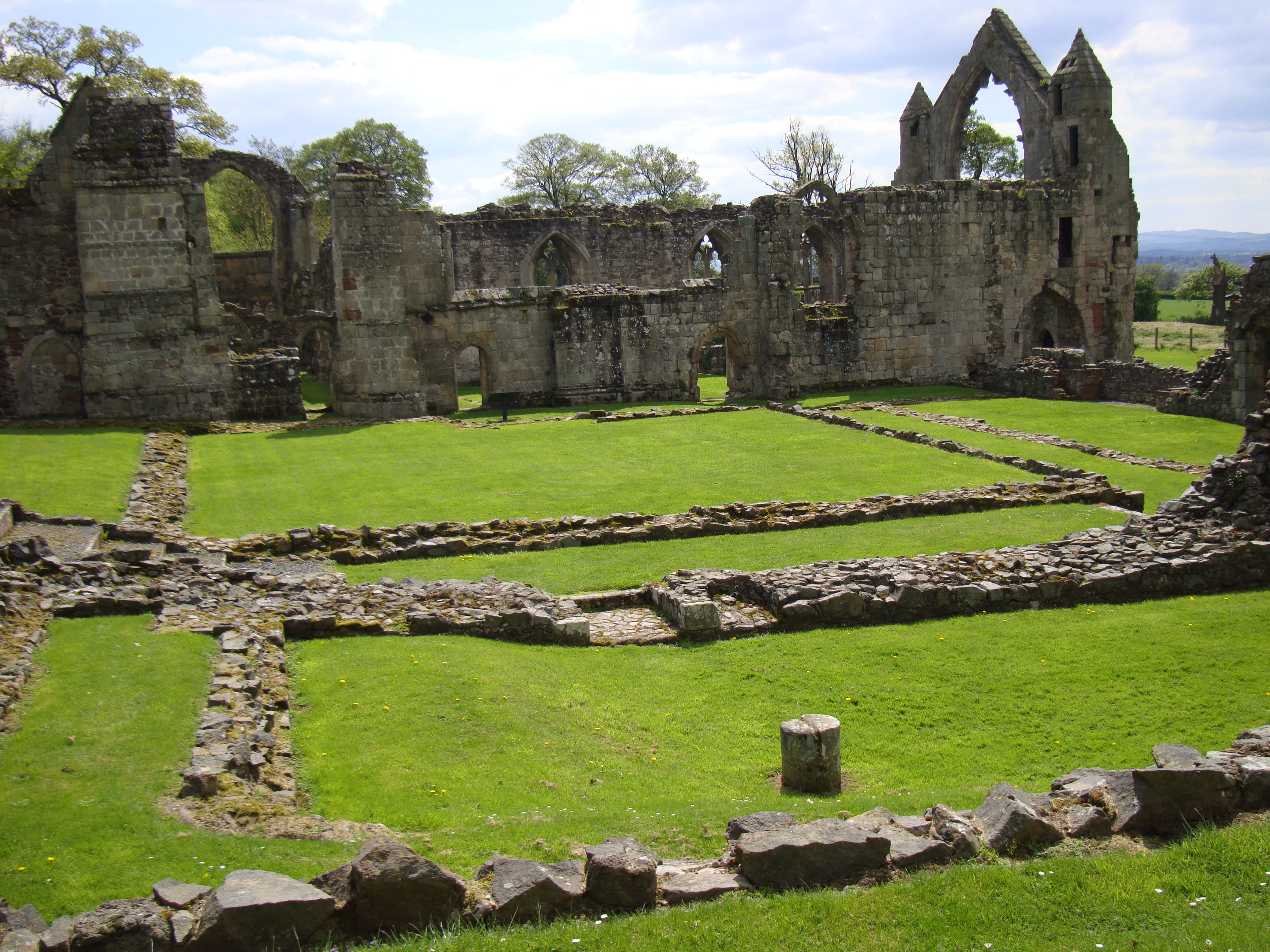
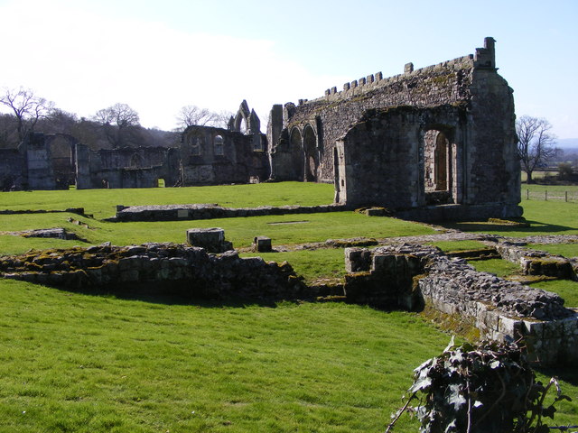
Haughmond Abbey
Haughmond Abbey (locally HOR-mənd) is a ruined, medieval, Augustinian monastery a few miles from Shrewsbury, England. It was probably founded in the early...
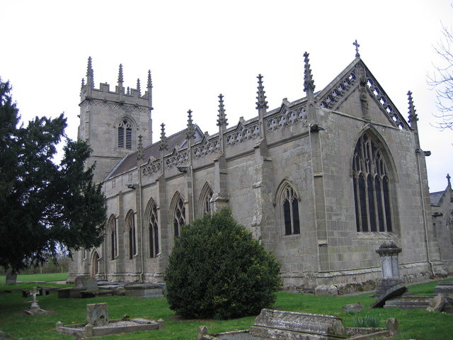
St Mary Magdalene's Church, Battlefield
St Mary Magdalene's Church is in the village of Battlefield, Shropshire, England, dedicated to Jesus' companion Mary Magdalene. It was built on the site...

Upper Battlefield, Shropshire
Upper Battlefield is a small village in Shropshire, England. It lies on the A49 just north of Battlefield. The Welsh Marches railway line runs through...
Harlescott
Harlescott ( HARL-scott, locally also HOLS-kət) is a suburb of the town of Shrewsbury, county town of Shropshire. It is one of the most industrial parts...
Bings Heath
Bings Heath is a small village in Shropshire, England. It lies on the A53 near to the village of Astley. It is in the parish of Astley, north of Shrewsbury...

Astley, Shropshire
Astley is a small village and civil parish in Shropshire, England. The official 2001 census recorded 454 people living in the parish and 116 in the village...
Nearby Amenities
Located within 500m of 52.745594,-2.6965799Have you been to Kendricks Rough?
Leave your review of Kendricks Rough below (or comments, questions and feedback).